The best cycling routes in Büngernsche Und Dingdener Heide
4.6
(10940)
51,000
riders
1,489
rides
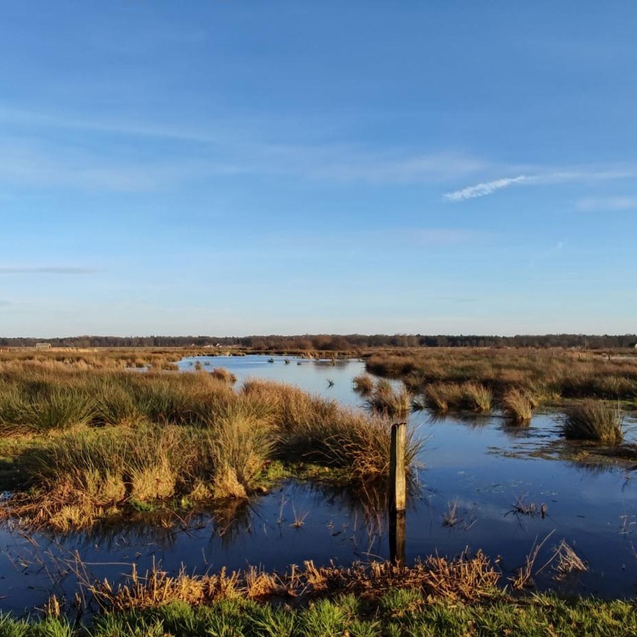
Touring cycling in Büngernsche Und Dingdener Heide offers diverse landscapes within the Hohe Mark Nature Park. The region features extensive heathlands, dense forests, and tranquil lakes, providing varied scenery for cyclists. Terrain includes both paved and unpaved surfaces, with gentle hills and slight inclines making it accessible for various fitness levels. This area is characterized by its well-developed cycling infrastructure and natural beauty.
Best touring cycling routes in Büngernsche Und Dingdener Heide
- The most popular touring cycling route is Aasee…
Last updated: May 17, 2026
5.0
(5)
36
riders
22.2km
01:26
50m
50m
Easy bike ride. Great for any fitness level. Mostly paved surfaces. Suitable for all skill levels.
4.8
(4)
51
riders
16.0km
00:56
40m
40m
Easy bike ride. Great for any fitness level. Mostly paved surfaces. Suitable for all skill levels.

Sign up for free
5.0
(2)
44
riders
24.6km
01:28
60m
60m
Easy bike ride. Great for any fitness level. Mostly paved surfaces. Suitable for all skill levels.
19
riders
Easy bike ride. Great for any fitness level. Mostly paved surfaces. Suitable for all skill levels.
4
riders
15.0km
00:52
30m
30m
Easy bike ride. Great for any fitness level. Mostly paved surfaces. Suitable for all skill levels.
Get access to more routes and recommendations from other explorers.
Sign up for free
Already have an account?
Our route recommendations are based on thousands of hikes, rides, and runs completed by other people on komoot.
Start today with a free account
Your next adventure awaits.
Login or Signup
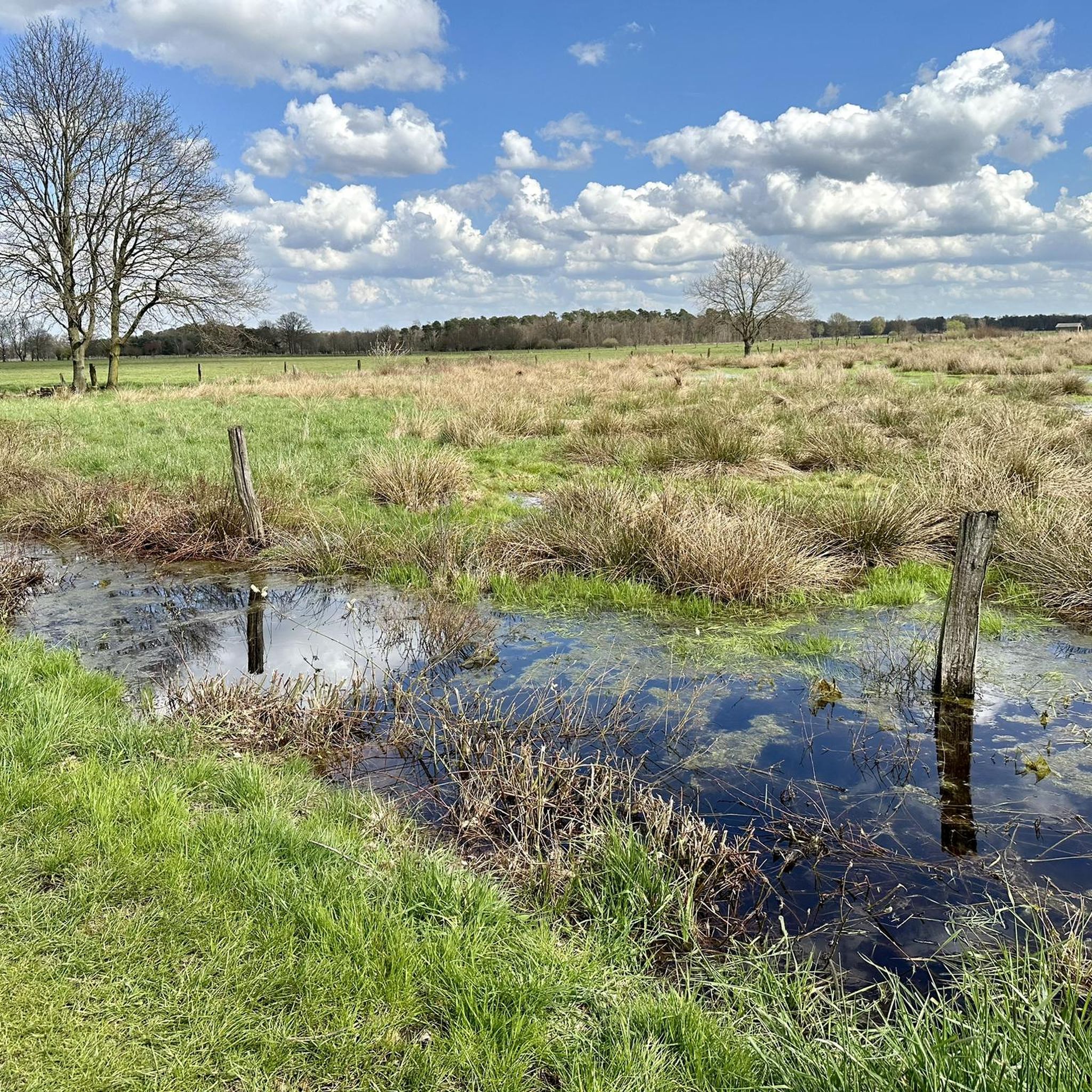
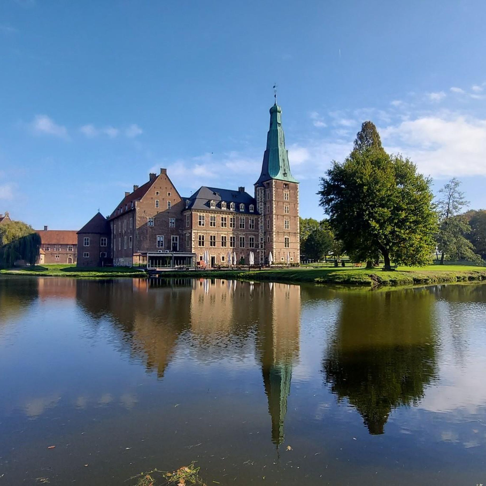
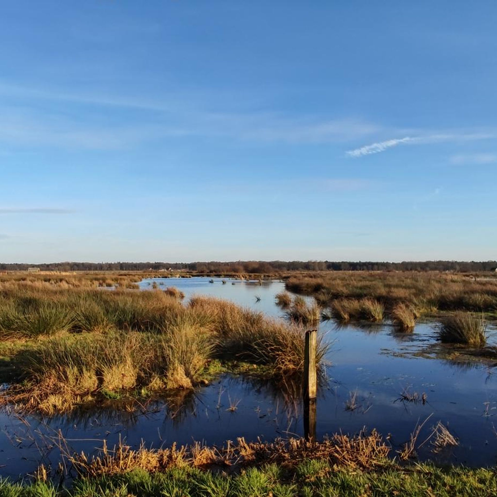
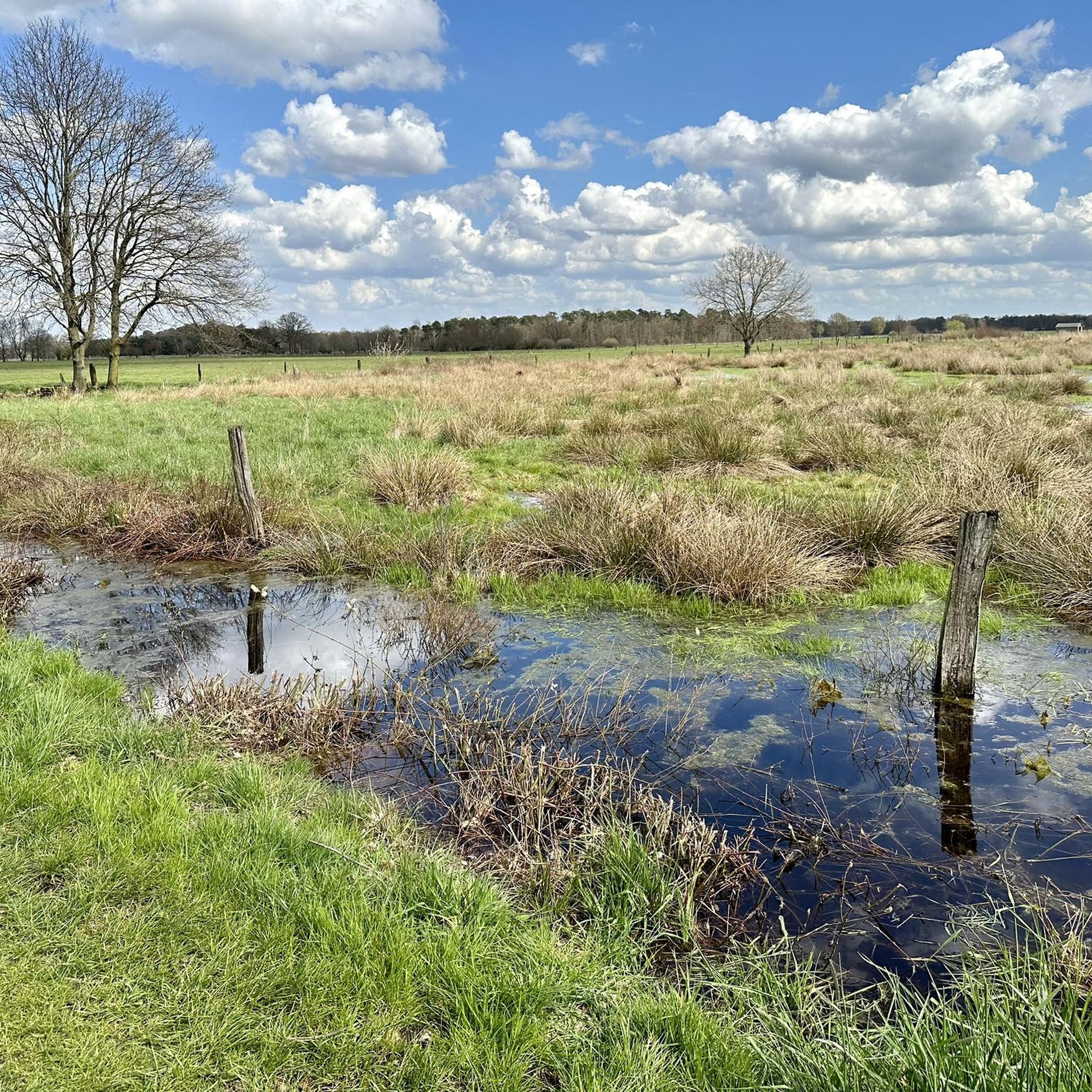
Tips from the Community

Great facility worth seeing. You can linger here for a while
0
0
A large lake with some swimming spots and attractions.
0
0
A great recreational lake with many attractions, I liked it a lot.
0
0
An imposing weir, especially the fish ladder is worth seeing.
0
0

Beautiful landscape, great stretch of trail.
0
0

Absolutely recommendable short-strip of forest for the gravel/MTB riders!
0
0

On the northeast shore of the Aasee lies an island and a large playground, on the east shore the bathing bay and the beach café (formerly Ottilie). In the southwest of the lake lies the surfer bay and a small bird sanctuary island, in the northwest the boat landing stage and a hill with a barbecue area and shelter, and at the very end in the north of the lake the Jonas, a water fountain, the newly designed Aasee terraces with the R-Café (to follow in 2026). A footpath and a separate cycle path run around the complete lake. It is wonderful to walk around the lake, but on weekends, when the weather is nice, it can get quite crowded.
1
0
Just before the bridge, there is a small bay in the Aasee. The branches of a willow tree hang gently over the water. From here, you have an idyllic view of the lake. Ideal photo spot!
4
0
Frequently Asked Questions
How many touring cycling routes are available in Büngernsche Und Dingdener Heide?
Büngernsche Und Dingdener Heide offers a vast network of nearly 1500 touring cycling routes. This includes 896 easy routes, 447 moderate routes, and 106 routes for more experienced cyclists, ensuring options for every skill level.
What kind of terrain can I expect on touring cycling routes in Büngernsche Und Dingdener Heide?
The region features diverse terrain, from extensive heathlands and dense forests to tranquil lakes. You'll find a mix of paved and unpaved surfaces, including gravel paths. While some areas offer gentle hills, many routes have only slight inclines, making them accessible for various fitness levels.
Are there any circular touring cycling routes in Büngernsche Und Dingdener Heide?
Yes, many touring cycling routes in the area are circular. For example, the Aasee (Bocholt) – Dingdener Heath loop from Dingdener Heide is an easy 22.2 km route that takes you through heathland and past a lake. Another option is the Habers Mill – Rhede Castle loop from Venderstiege, a 19.8 km trail passing historical landmarks.
What natural features or landmarks can I see along the touring cycling routes?
The region is rich in natural beauty and interesting landmarks. You can explore the Dingdener Heide Nature Reserve, observe Water Buffalo in the Dingdener Heide, or visit the Water Buffalo Pasture at Büffelhof Kragemann. Keep an eye out for the Stork Nest and Grey Heron in the Dingdener Heath for wildlife spotting.
Are there family-friendly touring cycling routes in Büngernsche Und Dingdener Heide?
Absolutely. The region offers numerous easy routes with gentle inclines, perfect for families. Many paths are mostly paved, providing a comfortable ride. The nearby 'Lower Rhine Cycle & Footpath' is also ideal for family outings, offering extended touring possibilities.
What do other touring cyclists enjoy most about cycling in Büngernsche Und Dingdener Heide?
The area is highly rated by the komoot community, with an average score of 4.6 stars from over 10,000 reviews. Cyclists often praise the diverse landscapes, including serene heathlands and dense forests, as well as the well-developed and clearly marked cycling network that caters to all ability levels.
Can I access the touring cycling routes using public transport?
While specific public transport connections to every trailhead can vary, the region is generally well-connected within the Hohe Mark Nature Park. It's advisable to check local bus or train schedules to nearby towns like Bocholt or Rhede, which often have good cycling infrastructure and access points to the wider network.
Are there options for long-distance touring cycling routes?
Yes, the region's extensive cycling network, including its proximity to the Hohe Mark RadRoute and the 'Lower Rhine Cycle & Footpath,' allows for longer touring experiences. You can easily combine shorter routes or connect to these larger networks for extended journeys through varied landscapes.
Where can I park my car when visiting the touring cycling routes?
Many trailheads and popular starting points, especially around the Recreation Area Dingdener Heide, offer designated parking facilities. It's common to find parking near villages or specific attractions that serve as access points to the cycling network.
Are there any routes that follow rivers or water bodies?
Yes, you can enjoy scenic rides along water bodies. The Bocholter Aa – Aa River in Krechting loop from Venderstiege is an easy 15 km path that follows the course of the Aa River through natural surroundings, offering tranquil views.
What is the best time of year to go touring cycling in Büngernsche Und Dingdener Heide?
The region is beautiful year-round, but spring and autumn are particularly pleasant for touring cycling. In spring, the heathlands come alive with fresh greenery, while autumn offers vibrant foliage. Summer is also popular, though it can be warmer, and winter provides a unique, quiet experience, especially through the forests.
Are there any challenging touring cycling routes for experienced riders?
While many routes are easy to moderate, Büngernsche Und Dingdener Heide does offer 106 routes classified as difficult. These routes might feature longer distances, more varied terrain, or slightly more significant elevation changes, providing a good challenge for experienced touring cyclists.
Most popular routes in Büngernsche Und Dingdener Heide
Most popular attractions in Büngernsche Und Dingdener Heide

Get inspired with the komoot mobile app


Explore more
Browse the best Cycling routes in other regions.
