The best road cycling routes in Nsg Mittleres Wietingsmoor
5.0
(12)
54
riders
8
rides
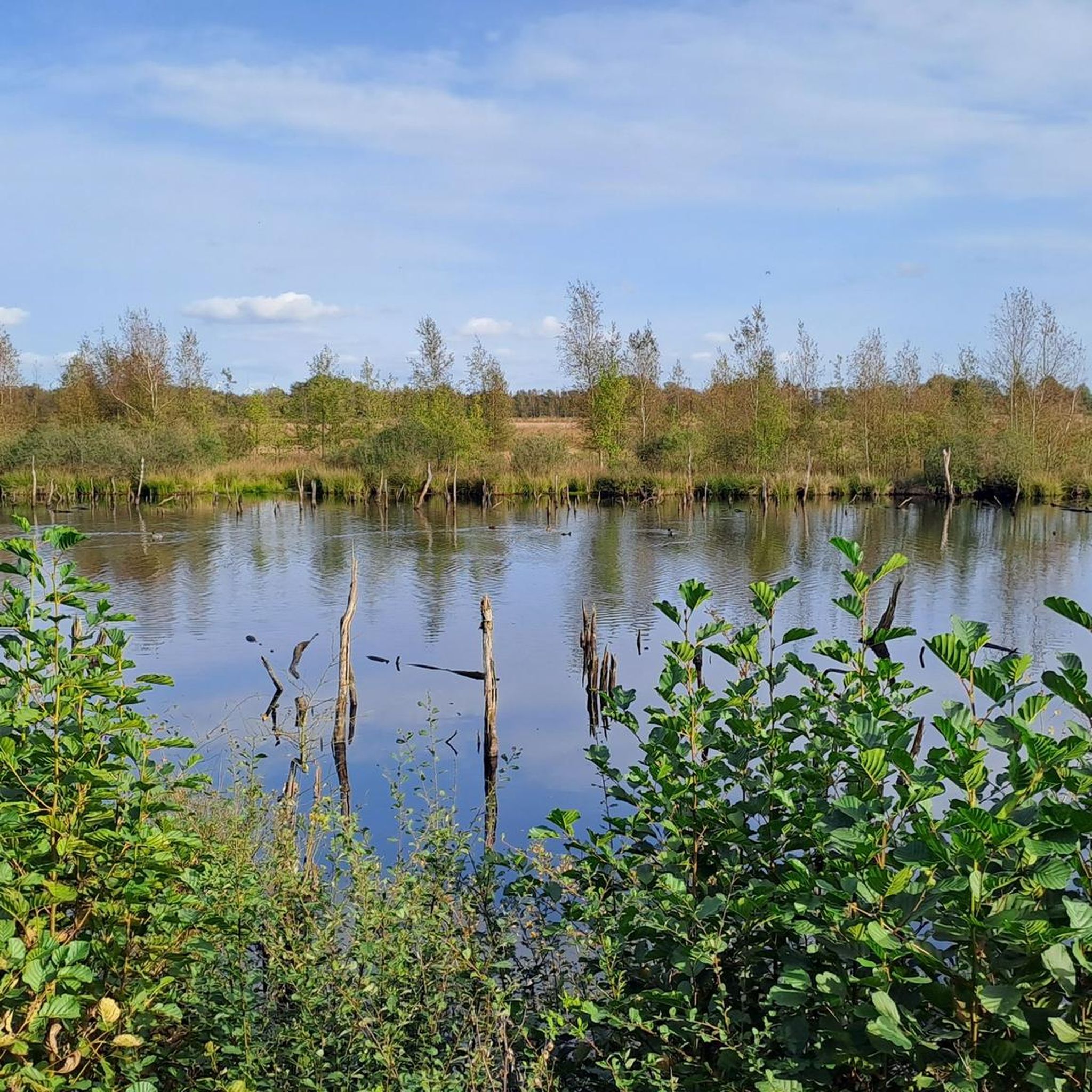
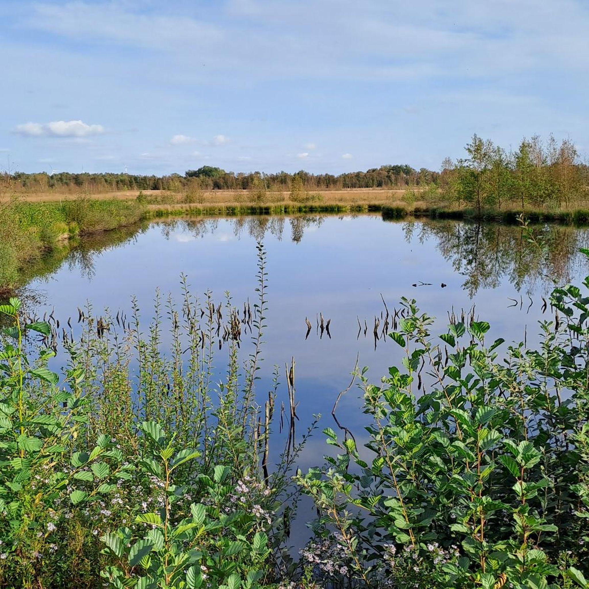
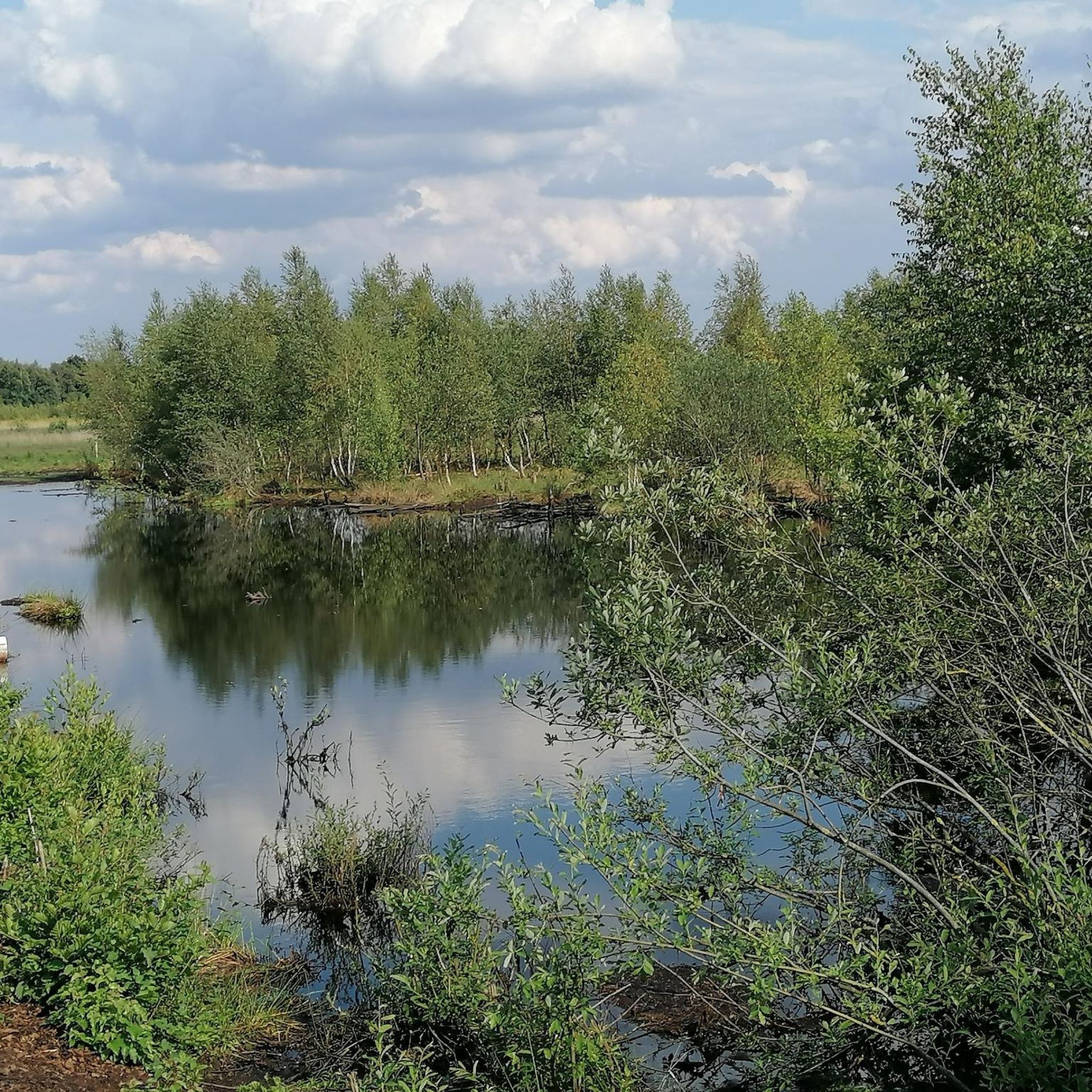
Road cycling in Nsg Mittleres Wietingsmoor is characterized by its unique moorland landscape, offering flat and open terrain ideal for long-distance rides. The region features re-wetted peatlands, open water surfaces, and birch-moor forests, providing expansive views. Minimal elevation changes define the cycling experience, making it accessible for various fitness levels. This area is part of the broader Mittelweser region, known for its network of mostly paved cycle paths.
Best road cycling routes in Nsg Mittleres Wietingsmoor
- The most popular road…
Last updated: July 1, 2026
5.0
(9)
9
riders
59.8km
02:22
200m
200m
Moderate road ride. Good fitness required. Mostly well-paved surfaces and easy to ride.
5.0
(1)
5
riders
22.3km
00:52
60m
60m
Easy road ride. Great for any fitness level. Mostly well-paved surfaces and easy to ride.

Sign up for free
3
riders
49.4km
01:53
110m
110m
Easy road ride. Great for any fitness level. Mostly well-paved surfaces and easy to ride.
2
riders
Moderate road ride. Great for any fitness level. Some segments of this route may be unpaved and difficult to ride.
4
riders
40.0km
01:38
110m
110m
Easy road ride. Great for any fitness level. Mostly well-paved surfaces and easy to ride.
Get access to more routes and recommendations from other explorers.
Sign up for free
Already have an account?
Our route recommendations are based on thousands of hikes, rides, and runs completed by other people on komoot.
Start today with a free account
Your next adventure awaits.
Login or Signup
Popular around Nsg Mittleres Wietingsmoor
Tips from the Community

Beautiful idyll, quiet corner, interesting aerial maneuvers of the swallows over the river while hunting insects and taking water.
0
0
If your stomach is acting up or you have a small colic - Bullenschluck rubbed on the inside helps!! Five or six small glasses and everything is gone again. WITHOUT a headache! Personal experience...
0
0

The grounds of the Amtshof, bordered by an extensive moat, boast a long and interesting history: Originally, a moated castle stood here. After a devastating fire around 1740, it was demolished, and the inner system of ramparts and ditches was leveled. Only the surrounding moat, which widened to form a pond in the west and southwest, survived. Only a short time later, between 1741 and 1744, the present Amtshof was built on this site. Based on the castle's foundations, partly made of bricks and partly of boulders, a large, angled, two-story half-timbered building with a distinctive ridge turret was constructed. The building was extensively restored in 1980/81. A half-timbered west wing was added, so that the Harpstedt Amtshof now appears to the viewer as a three-wing complex. Source: https://www.wildegeest.de/kultur-erleben/amtshofe-und-gutshauser/amtshof-harpstedt/index.html
3
0

Besides the castle meadow, Wildeshausen also has beautiful churches to offer
0
0

An imposing half-timbered building with a great courtyard, where there is barrier-free access to the historic building
4
0

Church in Harpstedt near the Amtshaus
0
0


The Amtshof Harpstedt is a historic building, today it houses the town hall of the Harpstedt municipality.
4
0
Frequently Asked Questions
What kind of terrain can I expect when road cycling in Nsg Mittleres Wietingsmoor?
The Nsg Mittleres Wietingsmoor region is characterized by its exceptionally flat and open moorland landscape. You can expect long stretches of riding with minimal elevation changes, making it ideal for road cycling. The routes feature mostly well-paved surfaces, suitable for various fitness levels.
Are there many road cycling routes to choose from in Nsg Mittleres Wietingsmoor?
Yes, there are several road cycling routes available in Nsg Mittleres Wietingsmoor. The komoot community has mapped out 8 distinct routes, offering a good selection for exploring the unique moorland scenery.
What are the difficulty levels of the road cycling routes in this area?
The road cycling routes in Nsg Mittleres Wietingsmoor are generally accessible. You'll find 5 easy routes and 3 moderate routes, ensuring options for both relaxed rides and those looking for a slightly longer challenge without significant climbs.
What natural features or landmarks can I see along the road cycling routes?
While cycling, you'll experience the unique moorland scenery, including re-wetted peatlands, birch-moor forests, and open water surfaces. Keep an eye out for 'peat pits' (Moorkuhlen), which are sites of former manual peat cutting. The Sprekelsmeer, a nutrient-poor still water body, also adds to the ecological diversity. During migration season, dedicated viewpoints offer opportunities to observe large groups of cranes.
Which route is recommended for a moderate road cycling experience?
For a moderate road cycling experience, consider the Wedehorn Windmill – Harpstedt Manor loop from Öftinghausen. This route covers 59.8 km and offers expansive views of the distinctive moorland scenery.
Are there any easy road cycling routes suitable for a relaxed ride?
Absolutely. An easy option for a relaxed ride is the Wedehorner Windmill (1878) – Hotzfelde–Brelloh Road loop from Öftinghausen. This 49.5 km path winds through open landscapes with minimal elevation, perfect for a leisurely outing.
What do other road cyclists say about their experience in Nsg Mittleres Wietingsmoor?
The road cycling routes in Nsg Mittleres Wietingsmoor are highly rated by the komoot community, with an average score of 5.0 stars from over 10 reviews. Cyclists often praise the flat, well-paved surfaces and the tranquil, expansive views of the moorland landscape.
Is Nsg Mittleres Wietingsmoor suitable for family-friendly road cycling?
Given the flat and open terrain with mostly well-paved surfaces, Nsg Mittleres Wietingsmoor is generally well-suited for family-friendly road cycling. The minimal elevation changes make it accessible for riders of various ages and fitness levels.
When is the best time of year to go road cycling in Nsg Mittleres Wietingsmoor?
The best time to go road cycling is generally during the warmer months, from spring to autumn, when weather conditions are most favorable. Additionally, if you are interested in birdwatching, particularly cranes, consider visiting during their migration season.
Are there any circular road cycling routes in the Nsg Mittleres Wietingsmoor area?
Yes, all the road cycling routes listed for Nsg Mittleres Wietingsmoor are designed as circular loops. For example, you can enjoy the Village Square Mellinghausen – Antique Café and Beer Garden loop from Sulingen, which is a 40.6 km circular trail.
Where can I find parking for road cycling routes in Nsg Mittleres Wietingsmoor?
While specific parking locations are not detailed for each route, starting points for many routes are often near villages or accessible roads. It is advisable to check the individual route details on komoot for suggested parking areas close to the start of your chosen tour.
Can I access the road cycling routes in Nsg Mittleres Wietingsmoor using public transport?
Access to the Nsg Mittleres Wietingsmoor region via public transport for cycling can be limited, as it is a nature reserve. It's recommended to check local bus or train schedules to nearby towns like Sulingen or Freistatt and plan your route from there, considering the distance to the cycling paths.
Most popular routes in Nsg Mittleres Wietingsmoor

Get inspired with the komoot mobile app


Explore more
Browse the best Road cycling routes in other regions.
