The best walks and hikes in Nsg Mittleres Wietingsmoor
4.6
(348)
1,029
hikers
28
hikes
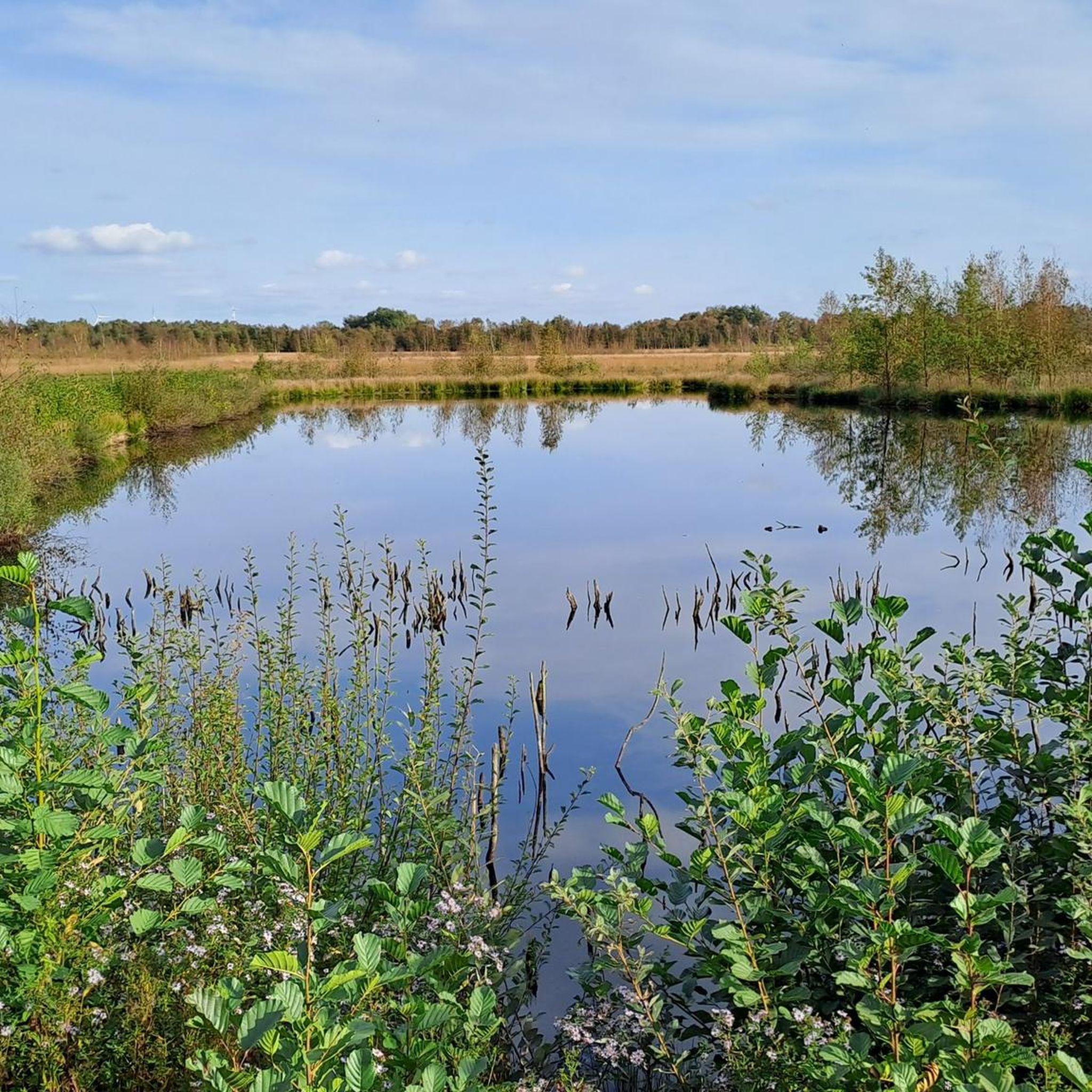
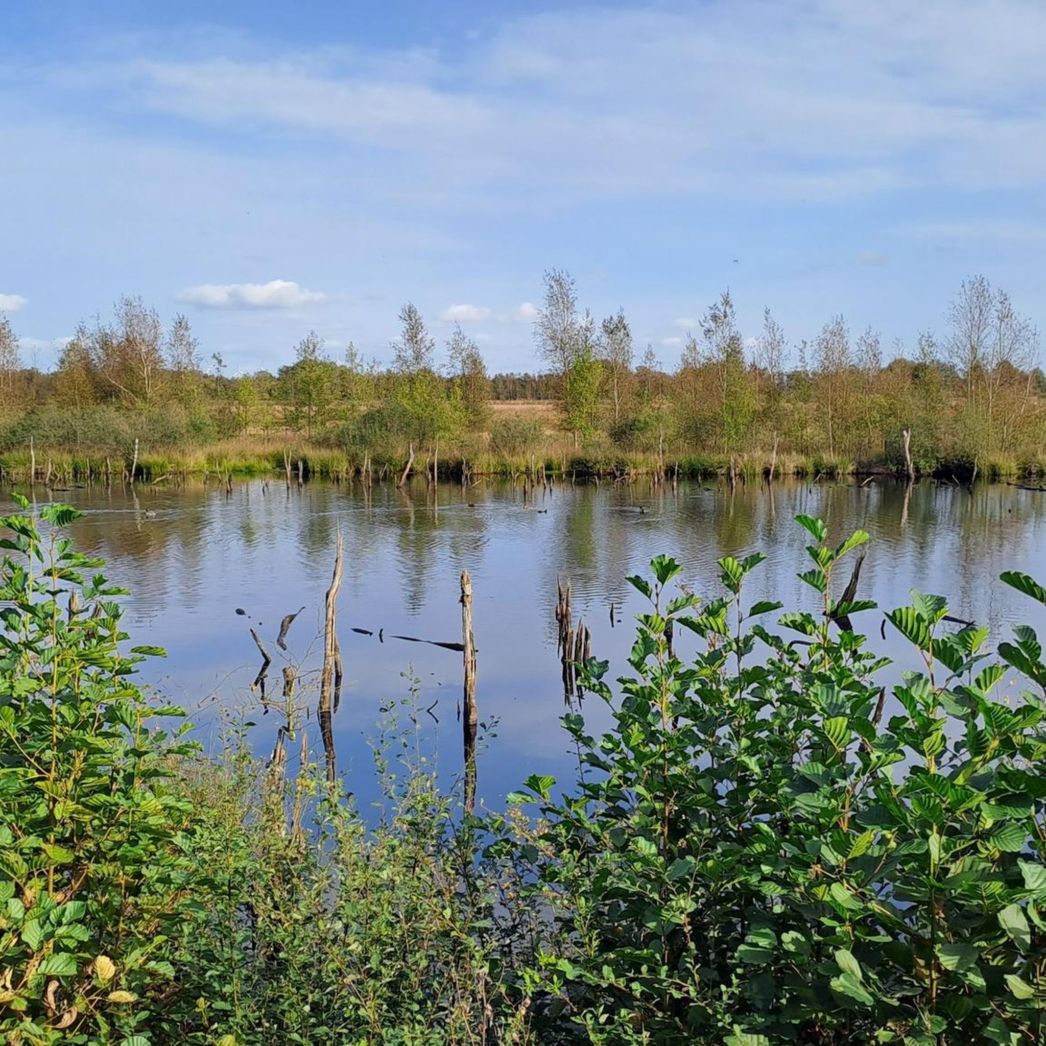
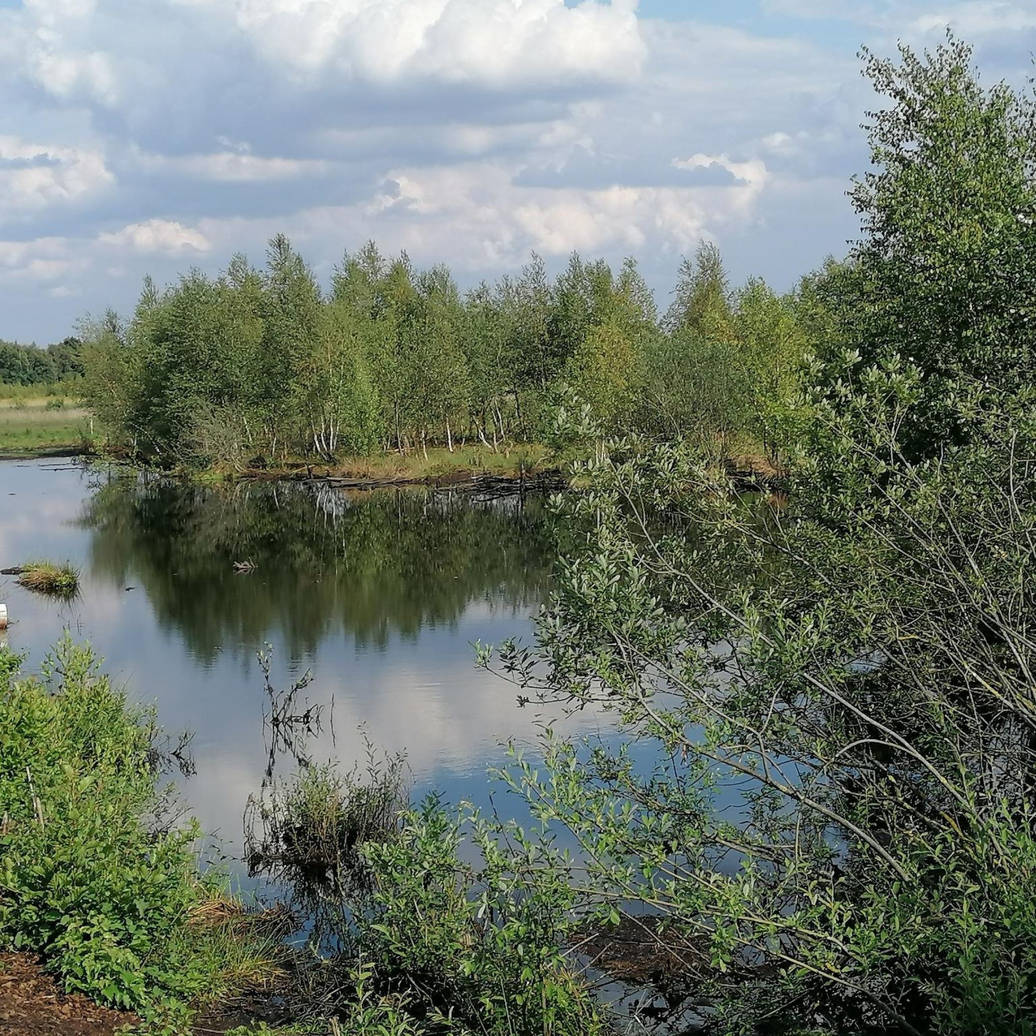
Hiking trails in Nsg Mittleres Wietingsmoor traverse a landscape dominated by moorland, featuring various stages of regeneration and birch moor forests. The area includes rewetted zones with open water surfaces, regenerating Sphagnum moss, and historic peat cuttings. Hikers can also find open grasslands and the Ströhen Dune, adding geological diversity to the moorland environment.
Best hiking trails in Nsg Mittleres Wietingsmoor
- The most popular hiking route is Senses Garden Freistatt – Moorland loop from Freistatt, a 8.7 miles (14.1…
Last updated: July 14, 2026
2.0
(1)
3
hikers
14.1km
03:33
10m
10m
Moderate hike. Good fitness required. Easily-accessible paths. Suitable for all skill levels.
4.3
(4)
5
hikers
Moderate hike. Good fitness required. Easily-accessible paths. Suitable for all skill levels.

Sign up for free
4.2
(5)
20
hikers
2.10km
00:32
0m
0m
Easy hike. Great for any fitness level. Easily-accessible paths. Suitable for all skill levels.
5.0
(6)
19
hikers
1.33km
00:20
0m
0m
Easy hike. Great for any fitness level. Easily-accessible paths. Suitable for all skill levels.
4.9
(113)
256
hikers
Easy hike. Great for any fitness level. Easily-accessible paths. Suitable for all skill levels.
Get access to more routes and recommendations from other explorers.
Sign up for free
Already have an account?
Our route recommendations are based on thousands of hikes, rides, and runs completed by other people on komoot.
Start today with a free account
Your next adventure awaits.
Login or Signup
Popular around Nsg Mittleres Wietingsmoor
Tips from the Community

Very beautiful scenery and, for once, lovely sheepdogs who will introduce you to their flock if you are nice :-).
0
0

What a beautiful landscape! And if you're lucky, you might even see the sheep grazing there, maintaining the landscape.
2
0

The moor is a legally protected nature reserve and one of the oldest nature reserves in the area. https://www.tberg.de/wanderung-im-neustadter-moor-bei-wagenfeld-stroehen/
0
0
From here you can start your journey into the moor adventure! This is also where the moor railway from the moor adventure center ends.
0
0

Here is a viewpoint for observing the cranes during migration season.
0
0

The mountain is actually about 150 m further west than shown on the map.
1
1

The peat pits are sites of former manual peat cutting. The steep edges are flattened to prevent them from becoming deadly traps for animals.
3
0
Climate protection through rewetted peatlands. This keeps CO₂ and nitrous oxide contained within the peatland. Drained peatlands, on the other hand, emit these gases.
3
0
Frequently Asked Questions
What kind of landscape can I expect while hiking in Nsg Mittleres Wietingsmoor?
Nsg Mittleres Wietingsmoor is primarily characterized by diverse moorland landscapes, including rewetted areas with open water surfaces, regenerating Sphagnum moss, and moor heaths. You'll also encounter historic peat cuttings (Moorkuhlen), open grasslands, and the unique Ströhen Dune (Geestdüne), which adds a different geological feature to the area.
Are there easy hiking trails suitable for beginners or families?
Yes, Nsg Mittleres Wietingsmoor offers a good selection of easy trails. Out of nearly 30 routes, 18 are classified as easy, making them ideal for beginners, families, or those looking for a relaxed stroll. An example is the Moorkuhlen, Neustädter Moor – Ströhen Dune (Geest dune) loop from Großer Turm, which is 7.1 km long and easy.
What are the best times of year for birdwatching in the nature reserve?
Nsg Mittleres Wietingsmoor is an important bird habitat, especially during migration. The best times for birdwatching are generally in autumn and spring. You can observe species like Common Cranes, Greylag Geese, and Greater White-fronted Geese, particularly in the large grassland areas and around the open water surfaces.
Are there any circular hiking routes available?
Yes, many of the trails in Nsg Mittleres Wietingsmoor are designed as circular routes, allowing you to start and end at the same point. For instance, the Senses Garden Freistatt – Moorland loop from Freistatt is a moderate 14.1 km circular trail that explores the unique moorland.
What natural features or landmarks can I see along the trails?
Hikers can discover several interesting natural features. These include the historic 'Moorkuhlen' (peat pits), expansive rewetted areas with open water, and untouched moorland sections known as 'Heile-Haut-Flächen'. The Sprekelsmeer, a nutrient-poor standing water body, and the Ströhen Dune (Geestdüne) are also notable landmarks. In May, you might see areas covered in white, fruiting cotton grass.
Is Nsg Mittleres Wietingsmoor suitable for hiking with dogs?
As a nature reserve, specific rules for dogs often apply to protect wildlife. While the region offers many trails, it's generally recommended to keep dogs on a leash to prevent disturbance to the sensitive moorland ecosystem and its bird populations. Always check local signage for specific regulations.
What do other hikers enjoy most about Nsg Mittleres Wietingsmoor?
The area is highly rated by the komoot community, with an average score of 4.6 stars from over 320 reviews. Hikers often praise the unique and serene moorland landscape, the opportunities for birdwatching, and the well-maintained trails, including boardwalks that make the moor accessible.
Are there any trails that feature boardwalks or wooden bridges?
Yes, to make the moorland more accessible and protect the delicate environment, some trails incorporate boardwalks and wooden bridges. An example is the Moor Boardwalk – Berry Trail loop from Großer Turm, which is an easy 2.1 km route.
Where can I find parking for hiking trails in Nsg Mittleres Wietingsmoor?
While specific parking locations are not detailed in the guide, many trailheads within nature parks typically offer designated parking areas. For routes like the Moor Boardwalk – Ströhen Dune (Geest dune) loop from Großer Turm, starting points often have nearby parking facilities. It's advisable to check the komoot tour details for specific parking information for your chosen route.
What is the typical terrain and elevation like on hikes in this region?
The terrain in Nsg Mittleres Wietingsmoor is predominantly flat, characteristic of moorland environments. While there are minor undulations, significant elevation changes are rare. The trails are generally easy to moderate, with no difficult routes, making it suitable for hikers who prefer less strenuous ascents and descents.
Can I combine hiking with photography in Nsg Mittleres Wietingsmoor?
Absolutely. The unique flora and fauna, such as blue-colored moor frogs, singing whinchats, and vast expanses of white cotton grass in May, make it a highly rewarding destination for nature photography. The diverse moorland landscapes and open water bodies also offer picturesque scenes.
Are there any longer, more challenging routes for experienced hikers?
While there are no routes classified as 'difficult' in Nsg Mittleres Wietingsmoor, there are several moderate trails that offer a longer hiking experience. For example, the Moorkuhlen, Neustädter Moor – View of the Neustädter Moor loop from Dörrieloh, Meyer is a moderate 14.2 km path, providing a good challenge for those seeking a longer day out.
Most popular routes in Nsg Mittleres Wietingsmoor

Get inspired with the komoot mobile app


Explore more
Browse the best Hikes in other regions.
