The best cycling routes in Nsg Wurmberg
4.5
(2711)
18,502
riders
355
rides
Touring cycling in Nsg Wurmberg, located in the Harz Mountains, offers diverse landscapes for exploration. The region features dense forests, flowing rivers, and lush meadows, particularly on ascents from Braunlage. From the summit of Wurmberg, panoramic views extend across the Harz Mountains. The area also includes unique rock formations and mountain streams, providing varied terrain for touring cyclists.
Best touring cycling routes in Nsg Wurmberg
- The most popular touring cycling route is Hexenritt Alpine Pasture – Rodelhaus Braunlage loop from…
Last updated: September 30, 2026
5.0
(2)
172
riders
7.70km
00:45
290m
290m
Moderate bike ride. Good fitness required. Mostly paved surfaces. Suitable for all skill levels.
4.8
(17)
25
riders
52.4km
04:20
1,370m
1,370m
Hard bike ride. Very good fitness required. Mostly paved surfaces. Suitable for all skill levels.

5.0
(1)
12
riders
Moderate bike ride. Good fitness required. Mostly paved surfaces. Suitable for all skill levels.
5.0
(1)
8
riders
17.0km
01:42
580m
590m
Hard bike ride. Very good fitness required. Mostly paved surfaces. Suitable for all skill levels.
4.8
(155)
976
riders
42.2km
03:02
860m
860m
Hard bike ride. Very good fitness required. Mostly paved surfaces. Suitable for all skill levels.
Get access to more routes and recommendations from other explorers.
Already have an account?
Our route recommendations are based on thousands of hikes, rides, and runs completed by other people on komoot.
Start today with a free account
Your next adventure awaits.
Tips from the Community

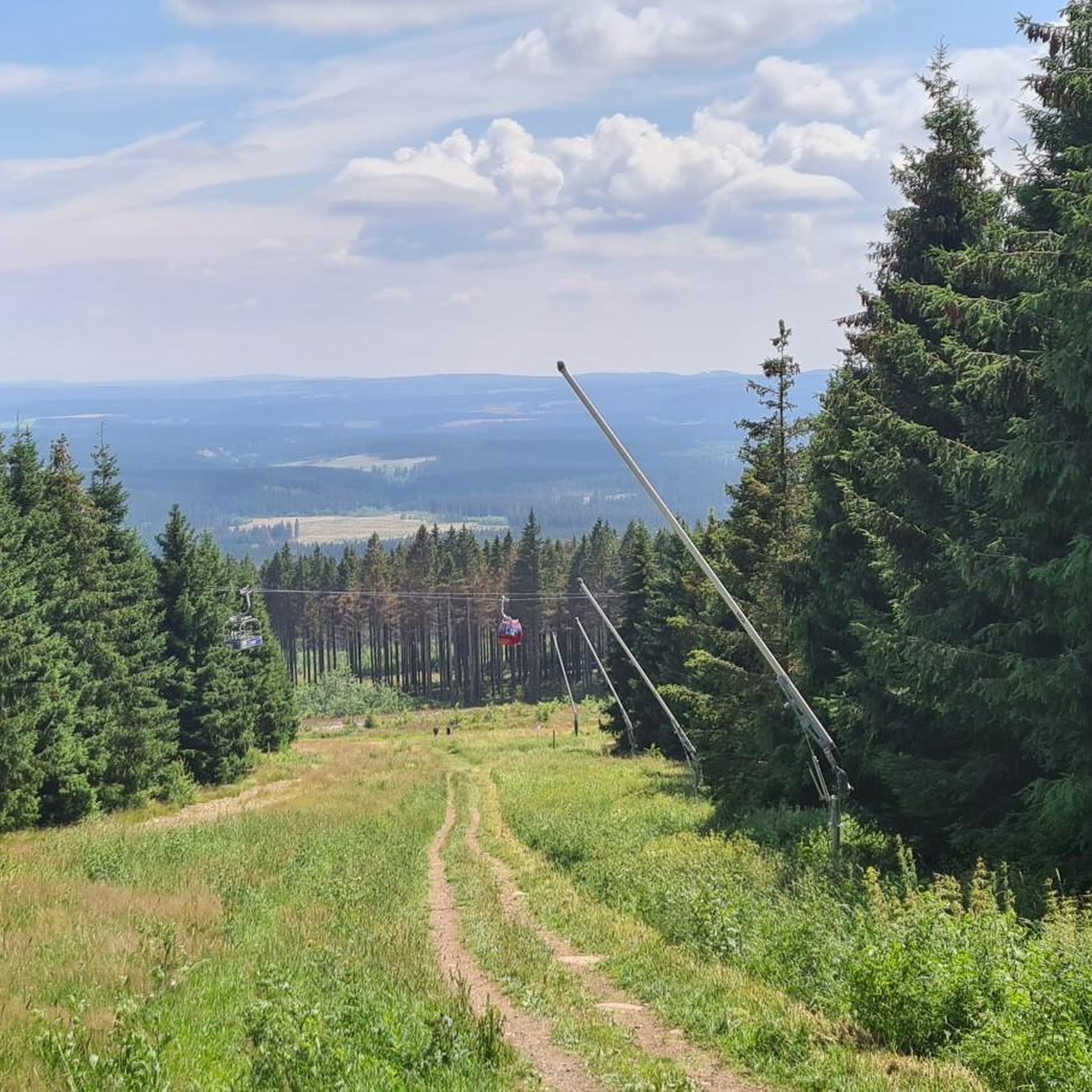
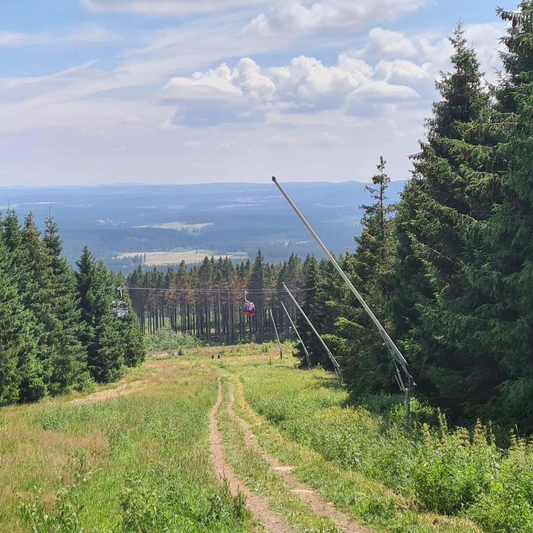
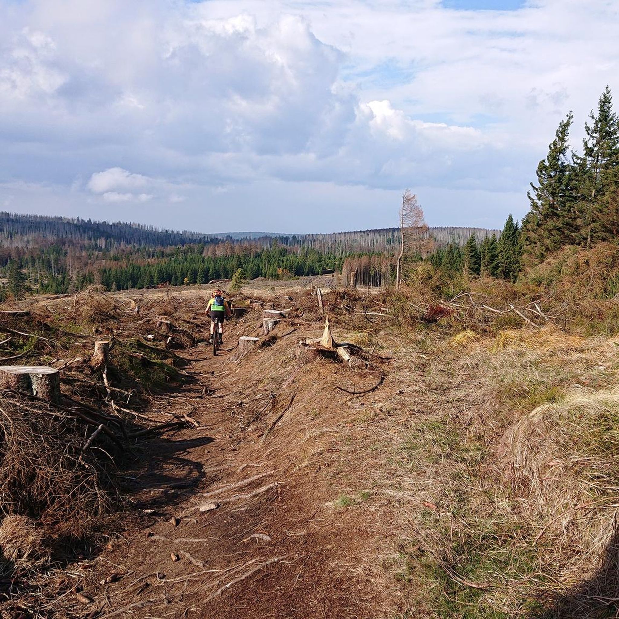
The journey is the destination - not always easy terrain, but very beautiful in dry weather
1
0

One of the many monuments commemorating the fall of the German-German border, here with quite fitting, if not very subtle, symbolism.
3
0

A nice rest area with plenty of seating and an overview map.
8
0

Visit the Wurmberg cable car middle station
0
0


Wurmberg Ski Jump The Wurmberg Ski Jump was the largest ski jump in the Harz Mountains. It was located about 80 meters east of and a few meters below the Wurmberg summit. Its outrun faced northeast toward the Grosser Winterberg (906.4 meters) near Schierke in neighboring Saxony-Anhalt. The ski jump tower had an observation platform (see below). It was built in 1922 as a 40-meter hill. Ski jumping events continued to take place there during the Cold War, even though the border fortifications to the GDR were just a few meters behind the outrun. The ski jump was first rebuilt in 1951 and, after many years, expanded to an 80-meter hill in 1984. In 1991, it was expanded to an 83-meter hill. During the last reconstruction of the ski jump in 2001/2002, it was completely renovated and expanded to a 90-meter hill. The new metal inrun track (heated) with a glass-ceramic coating offered all jumpers equal conditions during the approach. From 1996 to 2011, international ski jumping competitions for the FIS Continental Cup were held there every year when snow conditions were suitable. In June 2014, Braunlage's mayor, Stefan Grote, ordered the demolition of the structure. The reason given was the alarming condition of the building's structure, which "threatened collapse during the next hurricane." Structural problems had also been known for some time, which is why renovation was temporarily considered. The construction of a new ski jump seems unrealistic; a new tower with an observation platform at a height of 1,000 meters is planned. The dismantling of the Wurmberg ski jump was completed at the end of August 2014. Plans for a new building, expected to cost around €8.5 million, have been underway since 2018.
2
0
The Warme Bode is a barrage-free river in the High Harz region. It forms north of Braunlage from the confluence of the Großer and Kleiner Bode. The approximately five-kilometer-long Große Bode rises in the Bodebruch in the national park area east of Oderbrück, about one kilometer from the source of the Kalter Bode at an elevation of approximately 840 meters above sea level. The Kleine Bode, which rises at the foot of the Achtermannshöhe at an elevation of approximately 770 meters, is only about half as long. About one kilometer below the Bärenbrücke (Bär Bridge), the waters of the Große Bode overcome the Oberer Bode Waterfall. Shortly thereafter, it joins the Kleine Bode to form the Warme Bode. A few hundred meters further downstream, the waters of the Warme Bode plunge down the Unterer Bode Waterfall. After a short distance, the Warme Bode reaches Braunlage. There, its important tributary, the Ulrichswasser, flows in from the west. It then turns eastward, still within the city limits of Braunlage. The Warme Bode now meanders through the river valley it created. Approximately two kilometers beyond Braunlage, the Bremke, which rises on the Wurmberg, flows into the Warme Bode, and after about another three kilometers, the Brunnenbach joins it. The Warme Bode then flows north past Sorge and, after another two kilometers, through the town of Tanne. There, the river turns northeast and flows through its relatively expansive valley toward Königshütte. This wide and very picturesque river valley offers ample space for countless other sweeping meanders. Beyond Tanne, the Allerbach flows into the Warme Bode, and just over a kilometer before Königshütte, the water-rich Spielbach joins it. In Königshütte, at the foot of the mountain with the ruins of the Königsburg castle, it joins the Kalte Bode, which flows from the north and is two degrees cooler, to form the Bode. From the source area of the Große Bode in the Bodebruch to its confluence with the Kalte Bode, the water travels a distance of approximately 23 kilometers, climbing about 400 meters in altitude. In addition to the larger tributaries mentioned above, countless other small rivers and, in some cases, unnamed streams flow into the Warme Bode along this route.
2
0
Course of the Warme Bode: After the confluence of its source streams, the Warme Bode flows into Braunlage via the Lower Bodefall. At the northern edge of the town, the Ulrichswasser flows into it from the northwest, followed further by the Schultalwasser. Southeast of Braunlage, the "White Bridges" are reached. In the widening river valley, the Bremke flows into the Warme Bode from the north at the former Fuchsfarm. The Bremke determines the direction of the river. From here on, the course of the Warme Bode forms the border between Lower Saxony and Saxony-Anhalt (former inner-German border). Where the Warme Bode leaves Lower Saxony, the Brunnenbach flows into the Warme Bode from the west, also determining its course at this point. The Bode now flows further into Saxony-Anhalt towards Sorge. From the state border with Saxony-Anhalt, it runs parallel to the B242 federal highway through Tanne. The Warme Bode now flows through a lovely valley and then joins the Kalte Bode near Königshütte, below the ruins of Königsburg, to form the Bode.
1
0
Frequently Asked Questions
How many touring cycling routes are available in Nsg Wurmberg?
Nsg Wurmberg offers a wide selection of touring cycling routes, with over 340 options available. These routes cater to various skill levels, ranging from easy to difficult, ensuring there's a suitable ride for every cyclist.
What kind of terrain can I expect on touring cycling routes in Nsg Wurmberg?
The region provides diverse terrain, characterized by dense forests, flowing rivers, and lush meadows, especially on ascents from Braunlage. You'll encounter well-paved surfaces suitable for touring, as well as routes with mixed surfaces and scenic sections. The landscape also features unique rock formations like the Wurmbergklippen and rushing mountain streams.
Are there touring cycling routes suitable for beginners or those looking for an easier ride?
Yes, Nsg Wurmberg has options for less strenuous rides. There are 41 easy touring cycling routes available. For example, the Hexenritt Alpine Pasture – Rodelhaus Braunlage loop from NSG Wurmberg is a moderate 5.3-mile (8.5 km) route that loops through alpine pastures and forest near Braunlage, offering a pleasant experience.
Can I find challenging touring cycling routes in Nsg Wurmberg?
Absolutely. For experienced touring cyclists seeking a challenge, Nsg Wurmberg offers 195 difficult routes. A notable long-distance option is the Lautenthal – View of the Okertalsperre loop from Braunlage, a 73.5-mile (118.2 km) trail leading through the Harz landscape with significant elevation changes.
Are there any family-friendly touring cycling options in Nsg Wurmberg?
While specific family-friendly touring routes are not explicitly detailed, the region offers attractions that can complement a family cycling trip. Near the summit, you'll find the "Bergnis-Erlebniswelt" playground and the highest marble run in Northern Germany, which can be accessed via the Wurmberg cable car, making it easier to reach higher elevations with less exertion.
What are some notable natural features or landmarks I can see while cycling in Nsg Wurmberg?
You can explore various natural features and landmarks. Highlights include the Trail along the Warme Bode and Große Bode, the picturesque Lower Bode Waterfall, and the Bear Bridge over the Große Bode. From the Wurmberg summit, you'll also get breathtaking panoramic views across the Harz Mountains, including the iconic Brocken mountain.
Are there any circular touring cycling routes in the region?
Yes, many touring cycling routes in Nsg Wurmberg are designed as loops, allowing you to start and end at the same point. Examples include the Hexenritt Alpine Pasture – Rodelhaus Braunlage loop from NSG Wurmberg and the Bear Bridge over the Große Bode – Große Bode stream loop from Braunlage, which follows the Große Bode stream through varied terrain.
What do other touring cyclists say about their experience in Nsg Wurmberg?
The touring cycling routes in Nsg Wurmberg are highly rated by the komoot community, with an average score of 4.5 stars from over 2,000 reviews. More than 15,000 touring cyclists have used komoot to explore the region, often praising the diverse landscapes, from dense forests to panoramic mountain views, and the well-maintained paths.
Is it possible to combine cycling with other activities or attractions at Wurmberg?
Absolutely. At the Wurmberg summit, accessible via the cable car (which can transport bikes), you'll find a 32-meter-high observation tower offering spectacular views. The cozy Wurmberg Alm nearby is a perfect spot to relax and enjoy regional cuisine. The area also holds historical interest as a former border mountain.
What are the options for parking when accessing touring cycling routes in Nsg Wurmberg?
While specific parking locations for each route are not detailed, Braunlage serves as a primary access point for many routes leading up to Wurmberg and into the surrounding Harz region. It is advisable to look for designated parking areas within Braunlage or at the base of the Wurmberg cable car for convenient access to the trails.
Can I bring my dog on touring cycling routes in Nsg Wurmberg?
The Harz region, including areas around Wurmberg, is generally dog-friendly, especially on natural trails. However, specific regulations for bringing dogs on cycling routes within the Nsg Wurmberg nature reserve or the broader Harz National Park may apply. It's always best to check local signage or official park guidelines regarding pets to ensure compliance.
Are there places to eat or drink along the touring cycling routes?
Yes, especially near popular access points and at the Wurmberg summit. The Wurmberg Alm at the top offers a place to relax and enjoy regional cuisine. In Braunlage, the town at the base of Wurmberg, you'll find various cafes, pubs, and restaurants to refuel before or after your ride.
What is the best time of year for touring cycling in Nsg Wurmberg?
The region offers beautiful cycling conditions throughout the warmer months. Spring and autumn provide pleasant temperatures and stunning natural scenery with blooming flowers or vibrant fall foliage. Summer is also popular, but it's always advisable to check local weather forecasts, as conditions in mountainous regions can change quickly.
Most popular routes in Nsg Wurmberg
Most popular attractions in Nsg Wurmberg

Get inspired with the komoot mobile app


Explore more
Browse the best Cycling routes in other regions.
