Uchte-Tangerquellen Und Waldgebiete Nördlich Uchtspringe
Uchte-Tangerquellen Und Waldgebiete Nördlich Uchtspringe
The best MTB trails in Uchte-Tangerquellen Und Waldgebiete Nördlich Uchtspringe
4.7
(5)
23
riders
21
rides
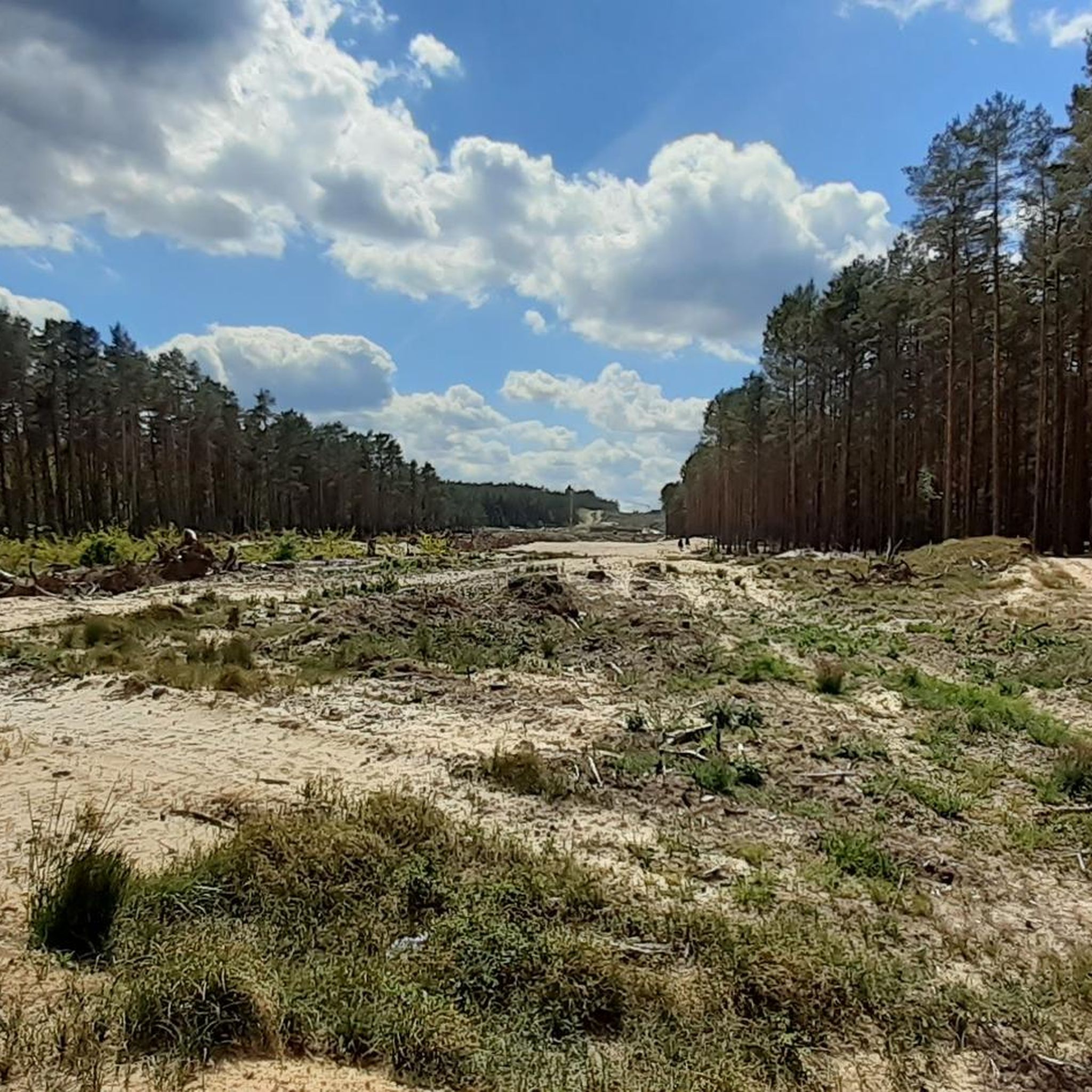
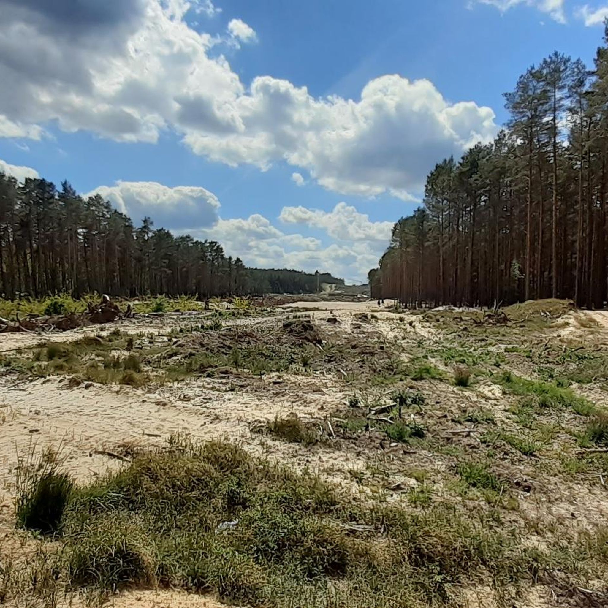
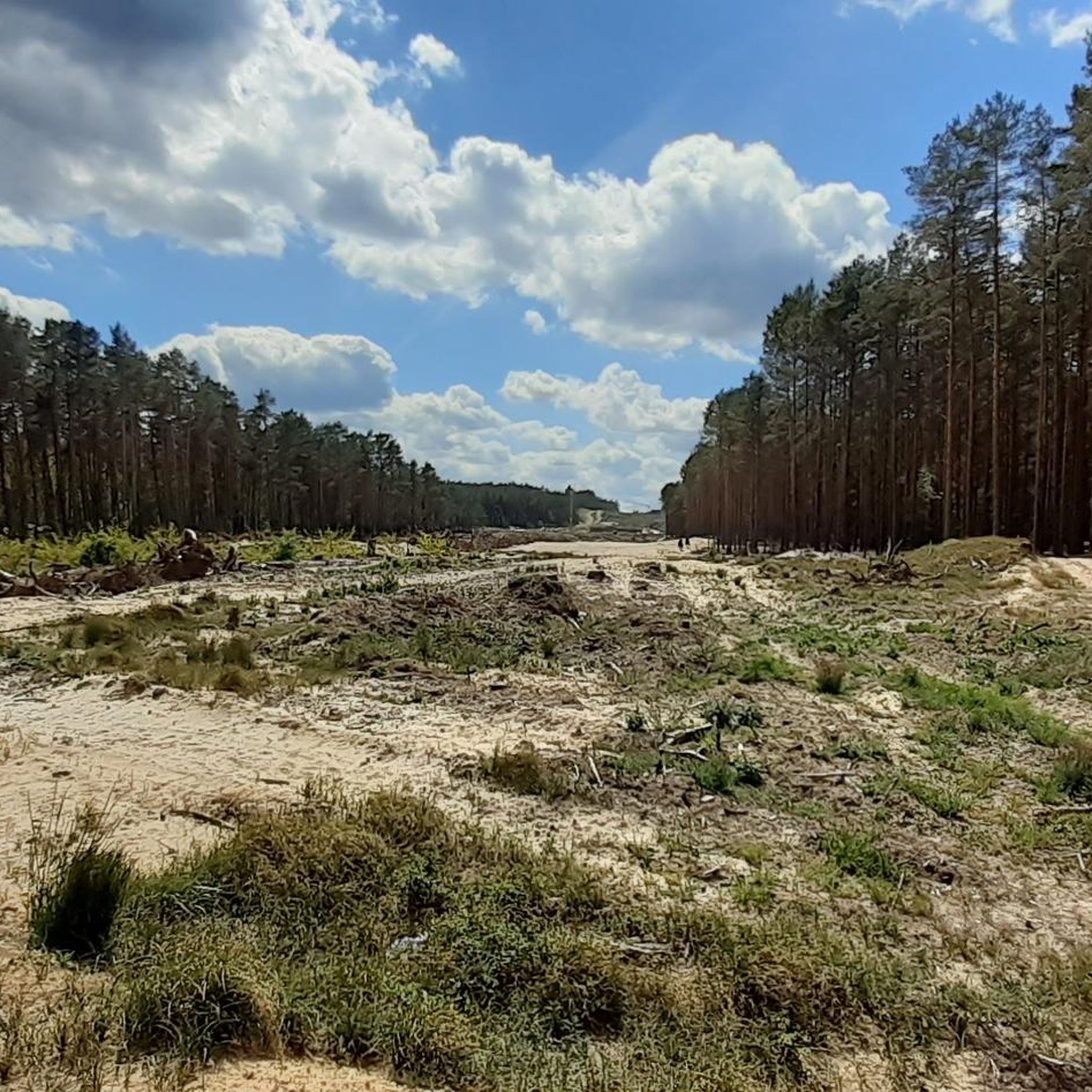
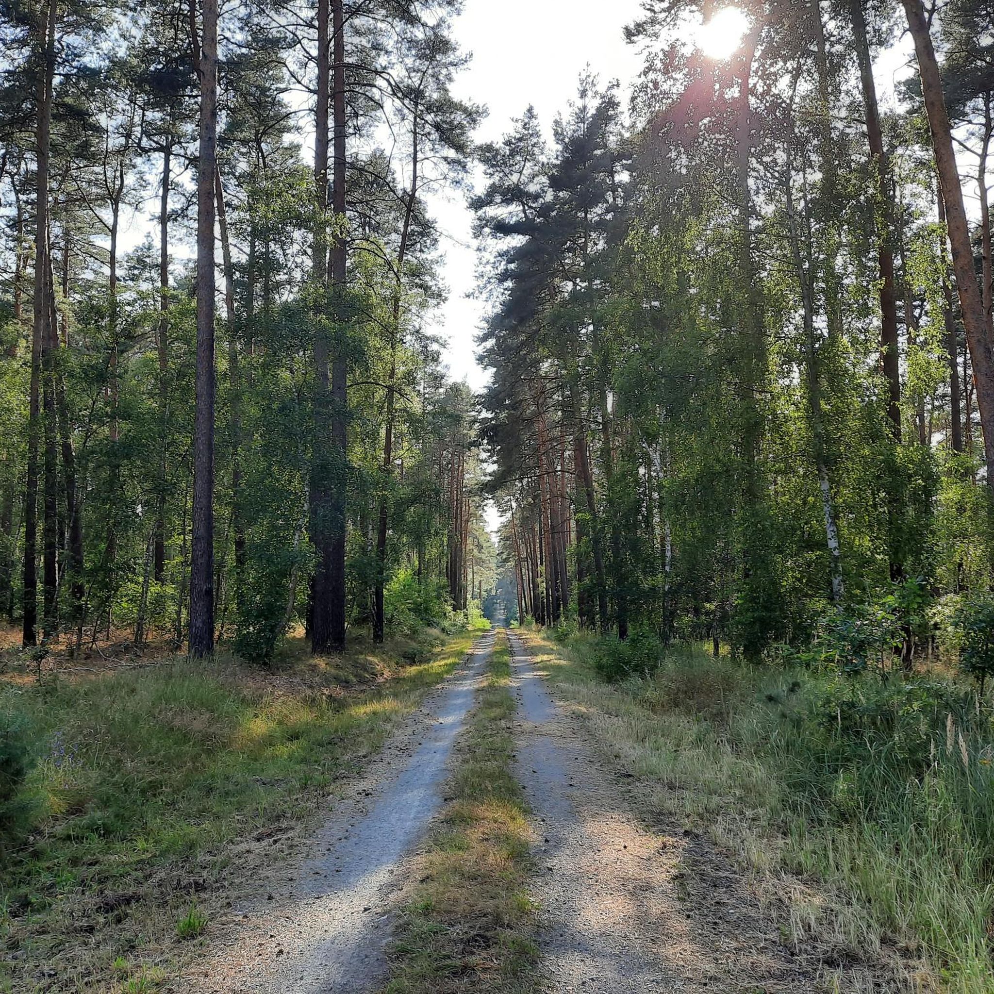
Mountain bike trails in Uchte-Tangerquellen Und Waldgebiete Nördlich Uchtspringe traverse a diverse landscape characterized by extensive forests, river lowlands, and hilly terrain. The region features large, contiguous pine forests, particularly in its western parts, offering varied forest trails. Numerous springs, including the Uchte springs, contribute to marshy areas and river lowlands with a mix of grasslands and alder-ash forests. Elevated points like the Fuchsberge and Kümmelberg provide undulating terrain suitable for mountain biking.
Best mountain bike trails in Uchte-Tangerquellen Und…
Last updated: July 10, 2026
5.0
(1)
2
riders
29.0km
01:59
110m
110m
Moderate mountain bike ride. Great for any fitness level. Advanced riding skills necessary.
4.0
(3)
9
riders
Moderate mountain bike ride. Good fitness required. Suitable for all skill levels.

Sign up for free
3
riders
20.0km
01:07
40m
40m
Easy mountain bike ride. Great for any fitness level. Suitable for all skill levels.
30.7km
02:23
110m
110m
Moderate mountain bike ride. Good fitness required. Advanced riding skills necessary.
5.0
(1)
5
riders
Moderate mountain bike ride. Good fitness required. Suitable for all skill levels.
Get access to more routes and recommendations from other explorers.
Sign up for free
Already have an account?
Our route recommendations are based on thousands of hikes, rides, and runs completed by other people on komoot.
Start today with a free account
Your next adventure awaits.
Login or Signup
Popular around Uchte-Tangerquellen Und Waldgebiete Nördlich Uchtspringe
Tips from the Community

Breathtaking. Reminds me of the Spitzbuben Trail in the Lüneburger Heide
0
0

The rectangular tower was built around 1300. The round tower and central section were built around 1450 and flank a pointed-arch passageway. The round tower features a projecting battlement. The more elaborate design of the round tower, the central section, and the top of the rectangular structure corresponds to the construction period around 1450 and was probably initiated by Stephan Buxtehude, to whom the Uenglinger Gate in Stendal and the Elbe Gate in Werben are attributed. The round tower is decorated with glazed bricks arranged in spiral or zigzag patterns, a molded stone frieze depicting the head of Medusa, and varied blind decorations. The plaster blinds above the gate passage bear coats of arms painted in 1897: Prussian Eagle, Imperial Eagle with the applied Hohenzollern Shield, Tangermünde Eagle, Eagle of the Holy Roman Empire of the German Nation, Brandenburg Eagle. Source: Wikipedia
8
1
St. Stephen's Church in Tangermünde is a Protestant church built in the North German Brick Gothic style. This building is considered one of the most outstanding monuments of this architectural style in Europe.
5
1

Nature reserve Please do not leave the path.
0
0

Impressive monastery with a great children's playground in front of it.
1
0

Absolutely worth seeing castle with beautiful castle church
0
0

The Rogätz ferry costs 2.50 euros for one person with a bicycle. It runs from May to September, Monday to Friday from 6 a.m. to 7:30 p.m. and Saturdays, Sundays and public holidays from 8:30 a.m. to 7:30 p.m. The ferry has a lunch break from 12 p.m. to 12:30 p.m. The last crossing before the break is at 11:45 a.m. You can find more information at: http://www.faehre-rogaetz.de/
2
3

When it's hot or you're riding in the rain, a shelter is a great way to take a short break. You never know when you'll need a roof over your head. Good thing!
1
0
Frequently Asked Questions
How many mountain bike trails are there in Uchte-Tangerquellen Und Waldgebiete Nördlich Uchtspringe?
There are over 20 mountain bike trails available in the region, offering a diverse range of experiences. You'll find routes traversing extensive pine forests, winding through river lowlands, and navigating the hilly end moraine landscape.
What is the general difficulty level of mountain bike trails in Uchte-Tangerquellen Und Waldgebiete Nördlich Uchtspringe?
The trails in this region are predominantly easy to moderate. There are 12 easy routes perfect for a relaxed ride, and 10 moderate routes that offer a bit more challenge, often with varied terrain and some elevation changes. There are no difficult trails listed.
Are there any circular mountain bike routes in the area?
Yes, many of the trails are designed as circular routes, allowing you to start and finish at the same point. For example, the Grethlachtenberg loop from Uchtspringe is a popular moderate circular trail, and the Letzlingen Castle Church – Fragrant pine forest loop from Jävenitz also offers a scenic circular ride through pine forests.
What natural features or landmarks can I see along the mountain bike trails?
The region is rich in natural beauty and historical sites. You can explore the unique Water treading spot at the Uchte springs, where the Uchte river originates from a marshy area. Other points of interest include the Staats Watermill and the Forest Trail from Uchtspringe to Trüstedt, which offers peaceful forest paths.
Are there family-friendly mountain bike trails suitable for children?
Yes, with 12 easy routes, there are several options suitable for families. These trails often follow quieter forest paths or river lowlands, providing a gentler riding experience. The diverse landscape ensures scenic views without overly challenging terrain for younger riders.
What is the best time of year for mountain biking in Uchte-Tangerquellen Und Waldgebiete Nördlich Uchtspringe?
The region is enjoyable for mountain biking through much of the year. Spring and autumn offer pleasant temperatures and vibrant scenery, especially through the extensive forests. Summer is also suitable, though some areas might be warmer. The quiet forest paths are ideal for immersing yourself in nature during any season.
Are dogs allowed on the mountain bike trails?
Generally, dogs are welcome on trails in natural areas, but it's always advisable to keep them on a leash, especially in forested areas or near wildlife. This helps protect both your dog and the local ecosystem. Always be mindful of local regulations and other trail users.
Where can I find parking for mountain bike trails in the region?
Parking is typically available near the starting points of many trails, especially in and around towns like Uchtspringe, Tangerhütte, or Jävenitz. Look for designated parking areas or roadside spots that are safe and permitted. Specific parking information can often be found on individual route descriptions.
Are there any viewpoints or elevated spots to enjoy the scenery?
Yes, the region features hilly terrain, including the Fuchsberge (69 meters above sea level) and the Kümmelberg (111 meters above sea level). These elevated points, part of the end moraine landscape north of Uchtspringe, can offer good viewpoints over the diverse forests and river lowlands.
What do other mountain bikers say about the trails in Uchte-Tangerquellen Und Waldgebiete Nördlich Uchtspringe?
The trails are highly regarded by the komoot community, with an average rating of 4.7 out of 5 stars from over 5 reviews. More than 20 mountain bikers have explored the varied terrain, often praising the peaceful forest paths and the scenic routes through river lowlands.
Can I reach the mountain bike trails using public transport?
While specific public transport links directly to every trailhead might be limited, towns like Uchtspringe and Tangerhütte, which serve as starting points for several routes, may have bus or train connections. It's recommended to check local public transport schedules for the most up-to-date information when planning your trip.
Are there any longer mountain bike routes for experienced riders?
For those seeking a longer ride, the Neustädter Gate, Tangermünde – Bittkau Church loop from Tangerhütte is a moderate 50.7 km (31.5 miles) path. This route leads through the scenic river lowlands, providing an extended and engaging experience.
Are there any easy mountain bike routes that are relatively short?
Yes, for an easier and shorter ride, consider the Rogätz–Schartau Ferry Crossing loop from Angern. This easy route covers 20.0 km (12.4 miles) and is a great option for a relaxed outing.
Most popular routes in Uchte-Tangerquellen Und Waldgebiete Nördlich Uchtspringe
Most popular attractions in Uchte-Tangerquellen Und Waldgebiete Nördlich Uchtspringe

Get inspired with the komoot mobile app


Explore more
Browse the best MTB trails in other regions.
