The best walks and hikes in Jägersberg-Schirknitzberg
4.5
(4490)
16,291
hikers
38
hikes
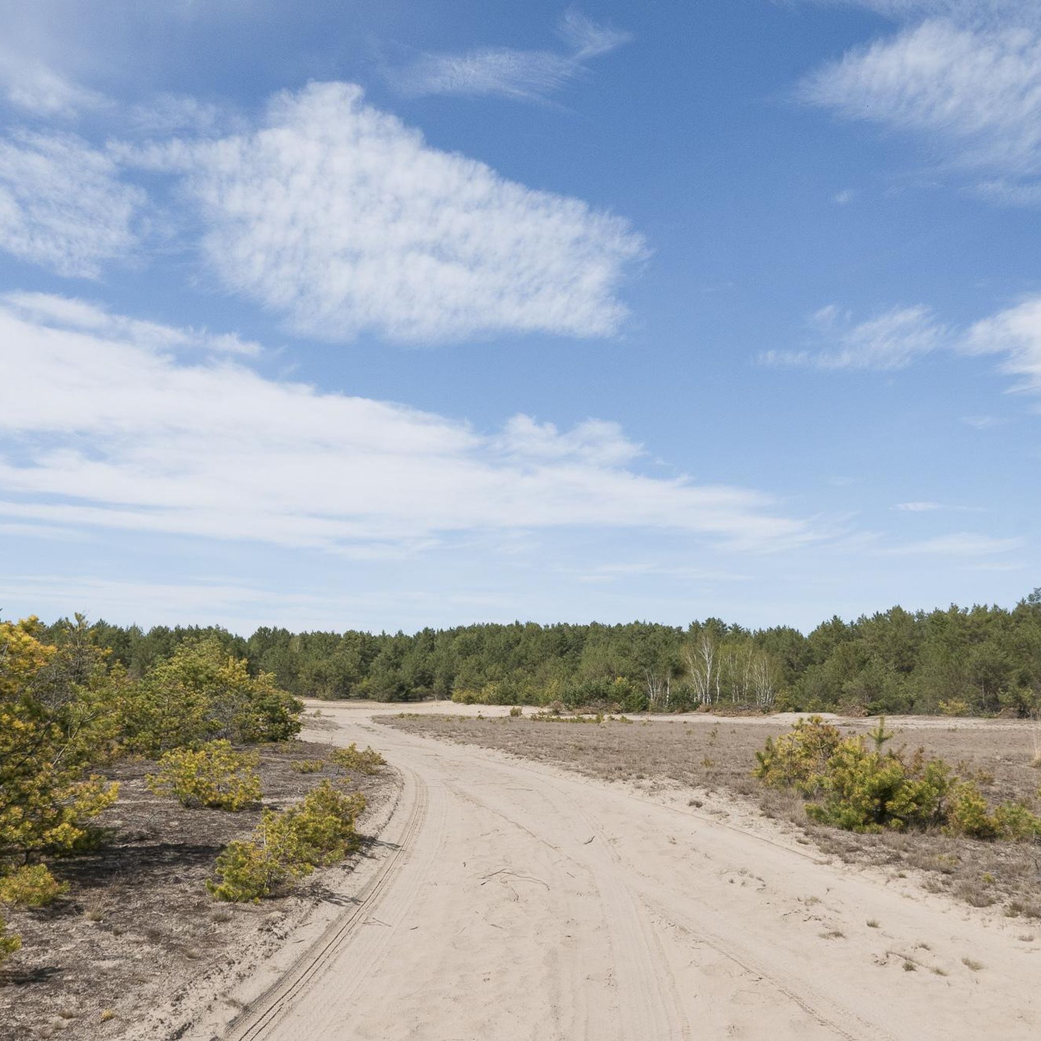
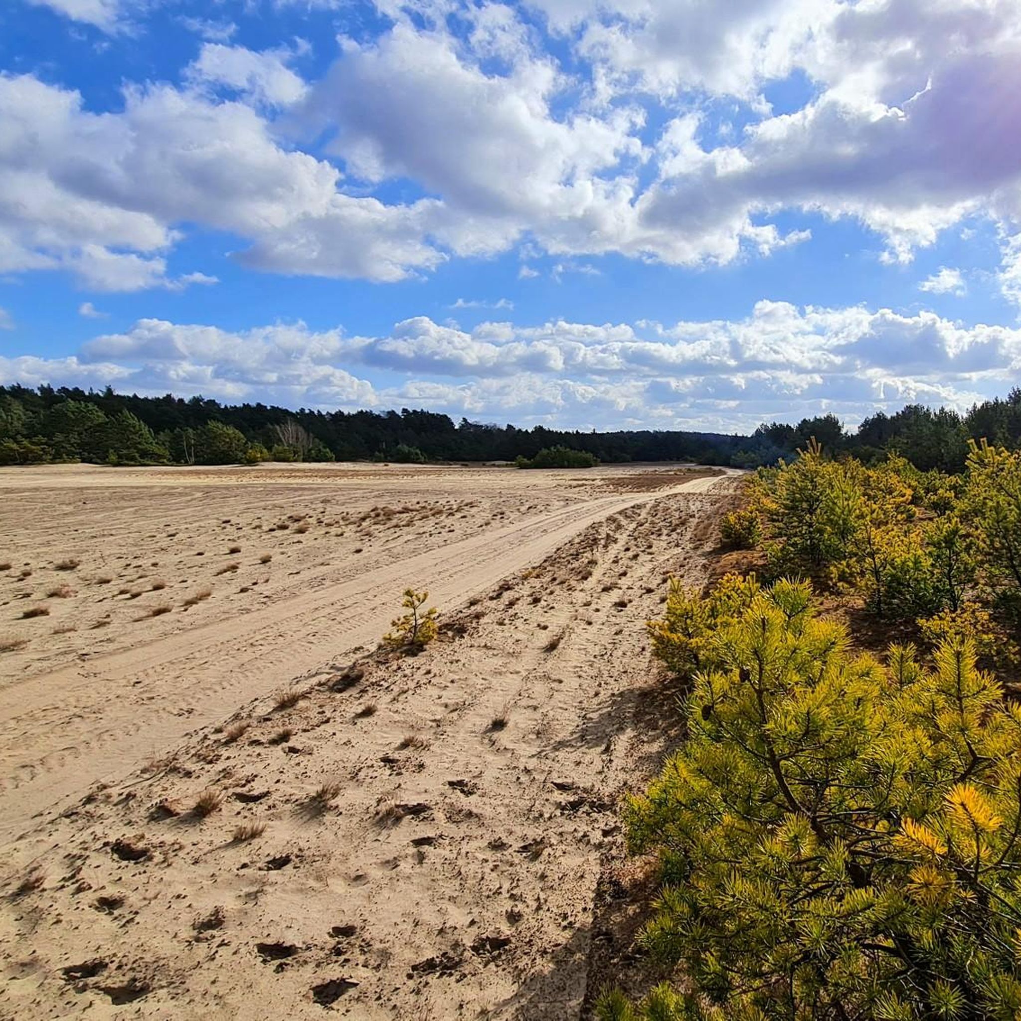
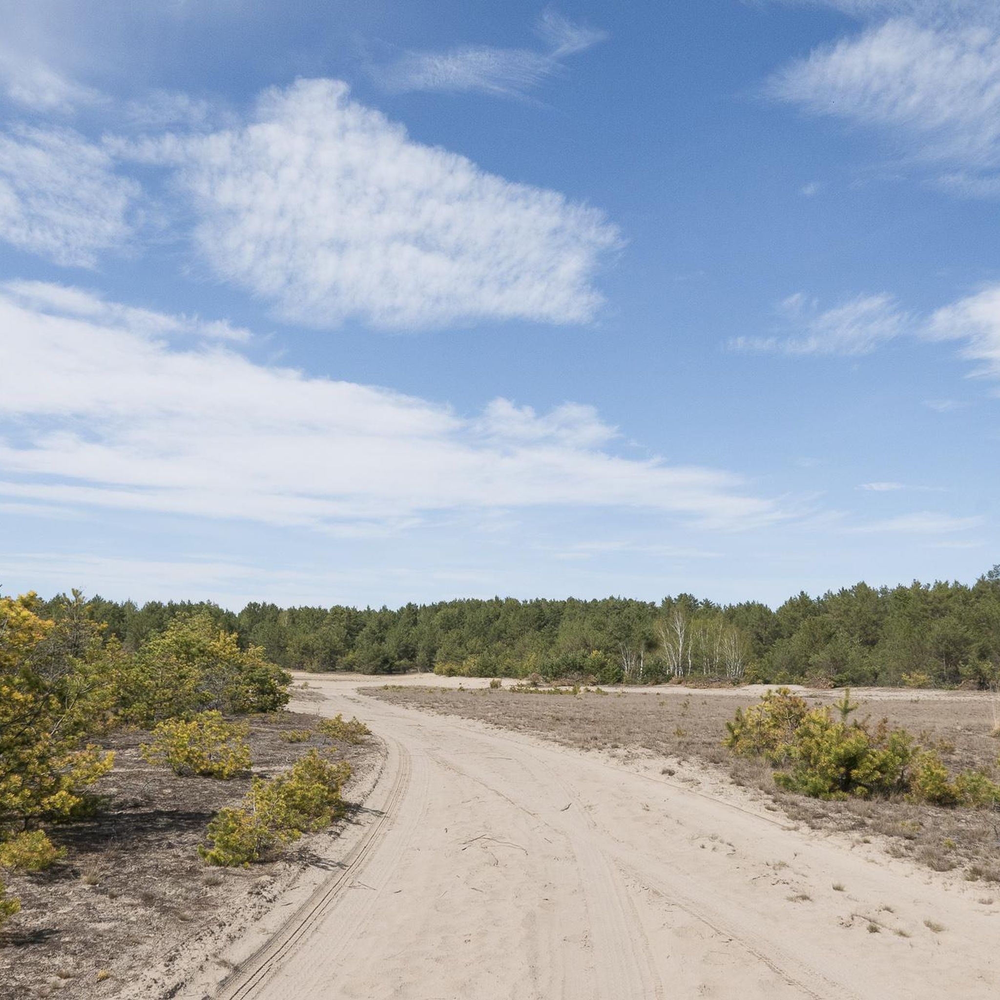
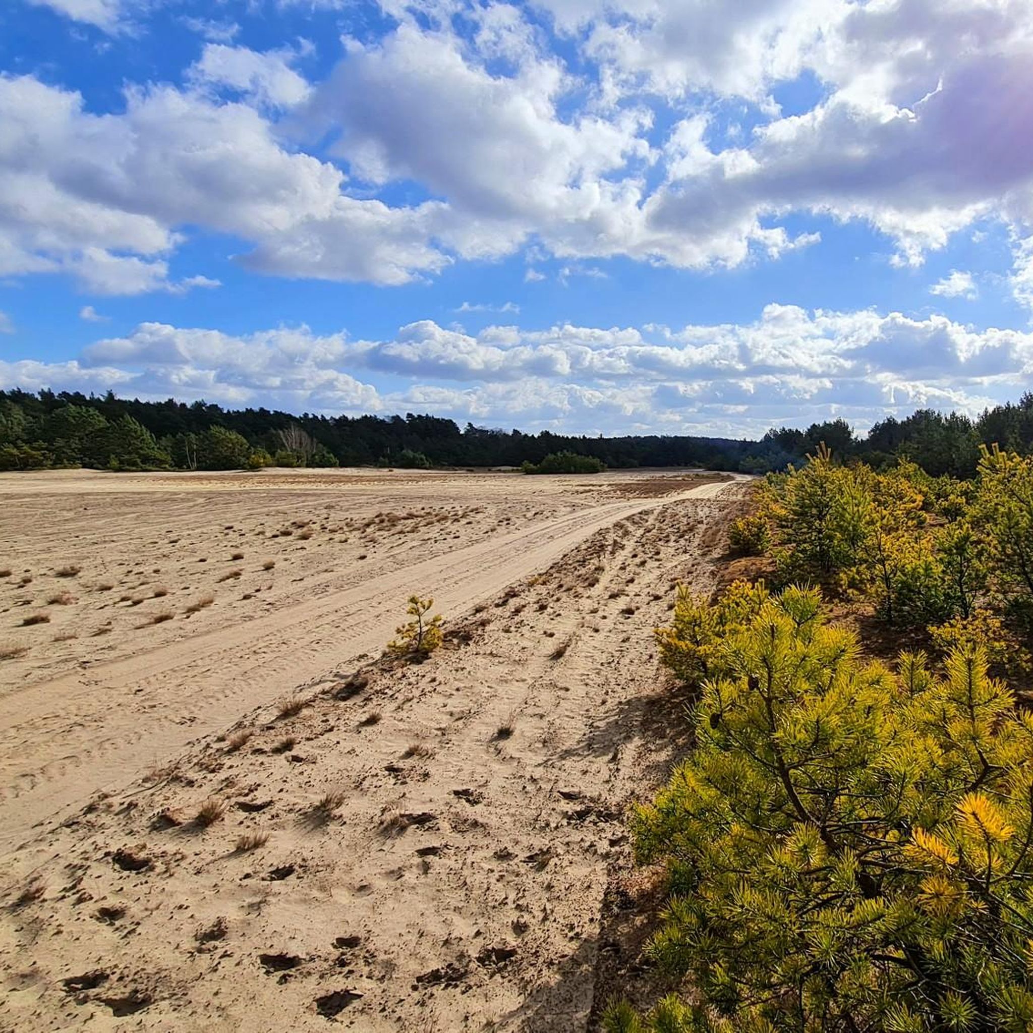
Hiking in Jägersberg-Schirknitzberg traverses a nature reserve shaped by the last Ice Age, offering diverse landscapes within the Teltow-Fläming district. The region features inland dunes, extensive dry sand grasslands, heathlands, and varied forests including pine, oak, and alder carr. As a designated nature reserve and FFH area, it supports rare species. Hikers can also explore historical remnants from its past as a military training ground.
Best hiking trails in Jägersberg-Schirknitzberg
- The most popular hiking route is Abandoned Tank Training Basin…
Last updated: June 26, 2026
4.8
(8)
29
hikers
Moderate hike. Good fitness required. Easily-accessible paths. Suitable for all skill levels.
2
hikers
Easy hike. Great for any fitness level. Easily-accessible paths. Suitable for all skill levels.

Sign up for free
4.0
(4)
15
hikers
Easy hike. Great for any fitness level. Easily-accessible paths. Suitable for all skill levels.
5.0
(3)
6
hikers
Moderate hike. Good fitness required. Easily-accessible paths. Suitable for all skill levels.
4.6
(5)
23
hikers
27.0km
06:56
120m
120m
Hard hike. Very good fitness required. Easily-accessible paths. Suitable for all skill levels.
Get access to more routes and recommendations from other explorers.
Sign up for free
Already have an account?
Our route recommendations are based on thousands of hikes, rides, and runs completed by other people on komoot.
Start today with a free account
Your next adventure awaits.
Login or Signup
Tips from the Community

Those were the Russians. Everything that was Wehrmacht had to go.
0
0


Be careful, everything is very rusty.
0
1

Although it is located on the path, the practice dancer is difficult to find, especially in summer, because it is hidden in the thicket
4
0

Nice tour but there are always sections that are very difficult to ride (sand)!!!
0
0

Very beautiful and lots of heather flowers. Easy to find, good paths. We were there on 7.9.24.
0
0
Very beautiful heathland, whole carpets everywhere, were there on 7.9.24. I don't necessarily have to go to the Lüneburg Heath
0
0
Frequently Asked Questions
How many hiking trails are available in Jägersberg-Schirknitzberg?
There are over 40 hiking routes available in Jägersberg-Schirknitzberg, catering to various fitness levels. You'll find a mix of easy, moderate, and difficult trails to explore the diverse landscape.
What kind of terrain can I expect on hikes in Jägersberg-Schirknitzberg?
The region, shaped by the last Ice Age, offers a varied landscape. You can expect to hike through inland dunes, extensive dry sand grasslands, heathlands, and diverse forests including pine, oak, and alder carr. The area's past as a military training ground also means you might encounter historical sites.
Are there easy hiking options for beginners or casual walkers?
Yes, Jägersberg-Schirknitzberg offers 22 easy hiking routes. An example is the Zehrensdorf Indian Cemetery – Sneaker Planter in Garden loop from Jägersberg-Schirknitzberg, which is 4.6 miles (7.4 km) long and takes about 1 hour 53 minutes to complete.
What historical sites or landmarks can I explore while hiking?
The area is rich in history. You can visit the significant Zehrensdorf Indian Cemetery, which is the final resting place for Indian soldiers from World War I. Hikers can also discover remnants of the region's military past, such as an abandoned tank training basin and bunker complexes on the Eichberg. The Abandoned Tank Training Basin – Zehrensdorf Indian Cemetery loop from Zehrensdorf Indian Cemetery is a moderate route that explores these historical sites.
Are there any lakes or natural viewpoints along the trails?
Yes, the region features natural highlights such as the Great Möggelin Lake. While not directly on all trails, the nearby Lake Motzen (Motzener See) in Kallinchen offers opportunities for a refreshing break and swimming during summer.
Can I bring my dog on the hiking trails in Jägersberg-Schirknitzberg?
Generally, dogs are welcome on trails in Jägersberg-Schirknitzberg, as it's a nature reserve. However, it's always recommended to keep them on a leash, especially to protect local wildlife and ground-nesting birds, and to respect other hikers.
Are there circular hiking routes in the area?
Many routes in Jägersberg-Schirknitzberg are designed as loops, offering convenient circular walks. For example, the Bunker Complex on Eichberg – Abandoned Tank Training Basin loop from Waldstadt is a moderate 6.6 miles (10.5 km) circular path.
What is the best time of year to go hiking in Jägersberg-Schirknitzberg?
The region offers beauty year-round. Spring and autumn provide pleasant temperatures and vibrant colors. May is particularly notable for the heathlands when sand soils showcase multi-colored ground plants. Summer is great for combining hikes with a dip in nearby lakes, while winter offers a serene, quiet experience.
What do other hikers say about the trails in Jägersberg-Schirknitzberg?
The routes in Jägersberg-Schirknitzberg are highly rated by the komoot community, with an average score of 4.5 stars from over 500 reviews. Hikers often praise the diverse terrain, the blend of natural beauty with historical elements, and the peaceful atmosphere of the nature reserve.
Are there any longer or more challenging hikes available?
Yes, for those seeking a longer challenge, there are routes like the Kleiner Zeschsee – Großer Wünsdorfer See Beach loop from Lindenbrück. This difficult trail covers 23.7 km (14.7 miles) and involves more elevation gain, typically taking over 6 hours to complete.
Are there any routes that focus on the military history of the area?
Yes, the region's past as a military training ground is a prominent feature. The Zehrensdorf Indian Cemetery – Old Tank Ramp loop from Jägersberg-Schirknitzberg is an easy 7.6 km (4.7 miles) route that allows you to explore some of these historical remnants.
Most popular routes in Jägersberg-Schirknitzberg
Most popular attractions in Jägersberg-Schirknitzberg

Get inspired with the komoot mobile app


Explore more
Browse the best Hikes in other regions.
