The best walks and hikes in Schöbendorfer Busch
4.5
(1572)
5,138
hikers
287
hikes
Hiking in Schöbendorfer Busch offers diverse natural environments within the Teltow-Fläming district of Brandenburg. This nature reserve features remnants of mixed deciduous forests, including alder swamp forests and oak-hornbeam sections, situated within the low-lying Baruth glacial valley. Waterways like the Mückendorfer Graben flow through the area, contributing to riparian habitats. To the south, the "Lange Horstberge" dune provides a distinct geological contrast.
Best hiking trails in Schöbendorfer Busch
- The most popular hiking route is Sonnenhof – Historic Horstmühle Monument loop…
Last updated: September 30, 2026
4.5
(4)
9
hikers
Moderate hike. Good fitness required. Easily-accessible paths. Suitable for all skill levels.
5.0
(2)
4
hikers
Easy hike. Great for any fitness level. Easily-accessible paths. Suitable for all skill levels.

5.0
(1)
5
hikers
Moderate hike. Good fitness required. Easily-accessible paths. Suitable for all skill levels.
1
hikers
Easy hike. Great for any fitness level. Easily-accessible paths. Suitable for all skill levels.
5.0
(2)
4
hikers
Moderate hike. Good fitness required. Easily-accessible paths. Suitable for all skill levels.
Get access to more routes and recommendations from other explorers.
Already have an account?
Our route recommendations are based on thousands of hikes, rides, and runs completed by other people on komoot.
Start today with a free account
Your next adventure awaits.
Tips from the Community

Many thanks to the installers - great idea and well done!!
1
0

Can you look around there?
0
0
Less suitable for racing bikes, but a fantastic connection through the forest.
0
1

Narrow traffic-calmed country road with a good surface! In Mückendorf this turns into rough cobblestones without a cycle path!
0
0

Here you can find all the information from the Friends of the Horstwalde Traffic Test Facility e. V. (FKVV) https://www.fkvv.de/
0
0
The residential area Horstmühle appeared for the first time in the Schmettauschen maps in the years 1778 and 1786 with a water mill that belonged to the Baruth estate. The local register from 1858 lists a residential building and two outbuildings for the dwelling place, including a water-powered flour mill. The name Horstmühle appeared for the first time in 1861. Ten years later it consisted of the mill establishment with a residential building. In the second half of the 18th century, a main building was built, which was equipped with several tiled stoves around 1850. Various doors and banisters were altered in the early 20th century. Around 1900, a farm building and an ice cellar were added. In 1929 the residential area came to the community of Lynow. The property was used until the 1980s. In 1950, the building housed a hiking and tourism station of the Committee for Tourism and Hiking, which was managed from Luckenwalde. The building has been derelict since the 1980s. The mill building no longer exists in the 21st century. The main house, a farm building and an ice cellar are listed buildings. A support association has been committed to its preservation since 2007 and the ensemble opens the building on selected days, for example on the day of the open monument. In 2009/2010, work was carried out to secure the stable roof, and in 2011 construction of a rest hut began, which was completed in 2012. A hiker's hut was built in 2015. Further renovation was hampered by legal disputes between the Solms-Baruth princely family and the city. Source https://de.wikipedia.org/wiki/Horstm%C3%BChle_(Baruth/Mark)
0
0
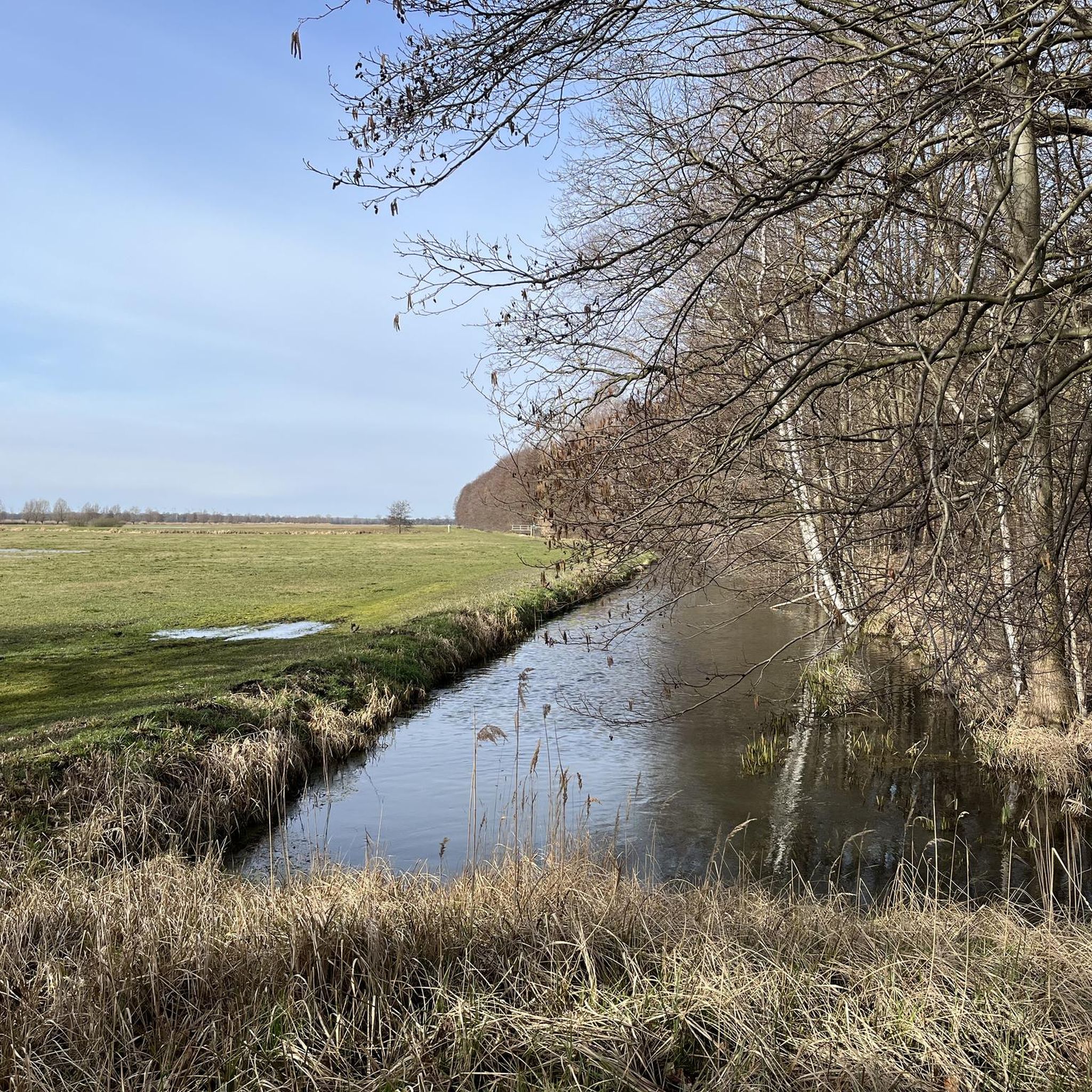
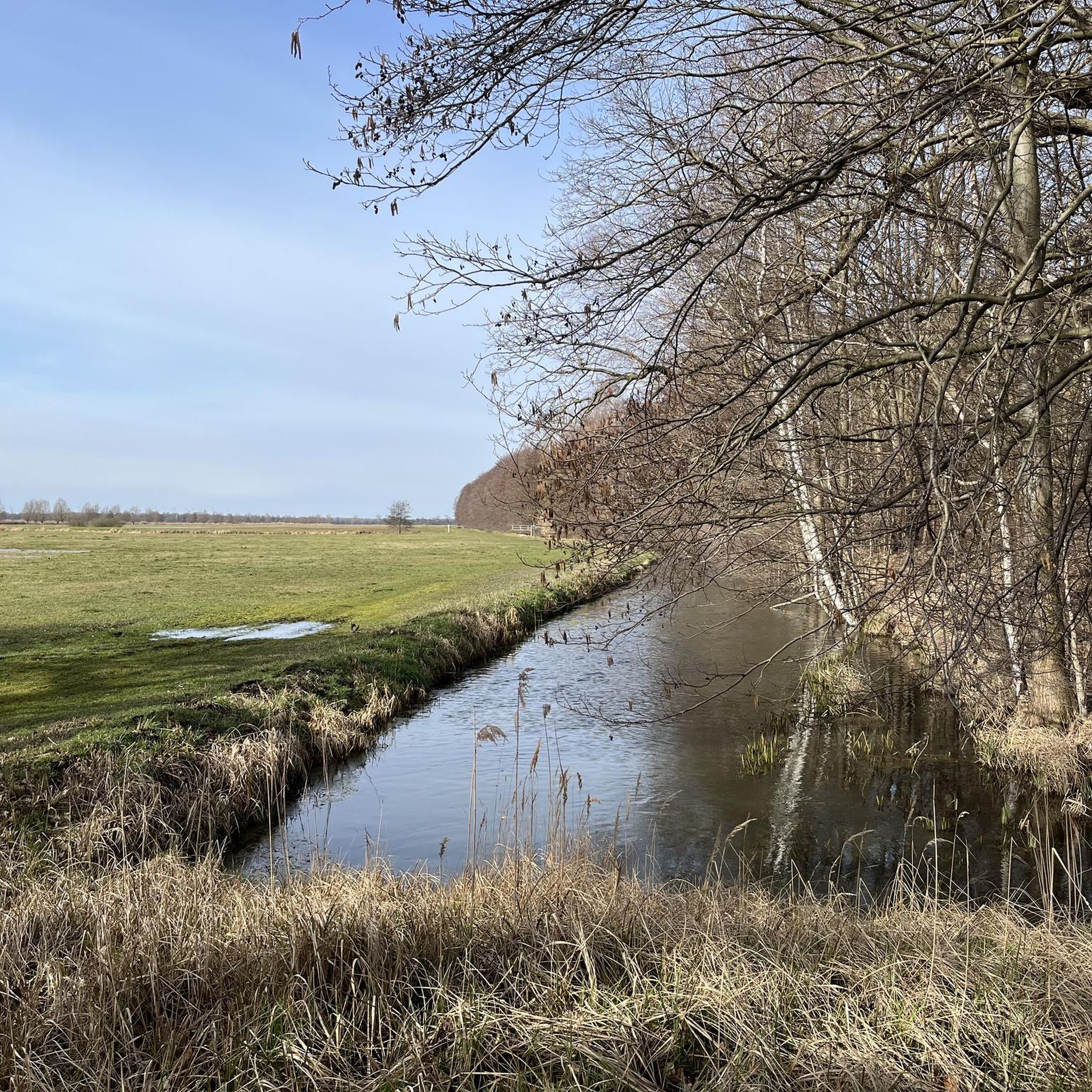
The residential area is located in the Baruth glacial valley to the west of the city center and north of the district of Schöbendorf. The Schöbendorfer Busch nature reserve borders to the north of the residential area, to the east of the other district of Paplitz and to the west of Lynow, a district of the municipality of Nuthe-Urstromtal. The Horstgraben, which drains agricultural areas, flows through the residential area in an east-west direction. To the east is the Paplitzer Müllergraben in a south-north direction, which drains into the Paplitzer Graben and finally into the Hammerfliess at the level of the residential area. The living space was created when the Baruth rulers of Solms had a house built for the forest workers on the site. In 1950 the residential area appeared to belong to the municipality of Schöbendorf. In 1983 the Bombachhaus base of the LPG Schöbendorf-Paplitz was located there. The place of residence was incorporated into Baruth/Mark along with Schöbendorf on December 31, 2001. The building is used by an architectural office in the 21st century. Source https://de.wikipedia.org/wiki/Bombachhaus
0
1
The Baruth line runs for kilometers through pure nature. The hiker in need of rest does not always find the opportunity to stop off at the right moment. Special seating has been set up for picnics and relaxation, which at the same time has a communicative character: seating arranged in the shape of a cross with a small table in the middle for the snack you have brought with you. The original design, which is individualized by a reproduction of the location along the route in the Rückenlehen, comes from unoMent GmbH in the nearby museum village of Glashütte. The locations of these rest areas are in Blankenfelde at the nature sports park, near the southern end of the Rangsdorfer See, between Am Mellensee and Wünsdorf and in the local situation of Paplitz. Source https://www.barutherlinie.de/
0
0
Frequently Asked Questions
How many hiking trails are available in Schöbendorfer Busch?
Schöbendorfer Busch offers a wide variety of hiking experiences, with over 290 trails to explore. These routes cater to different preferences, ranging from easy strolls to more challenging excursions through the diverse landscapes of the nature reserve.
What kind of terrain and natural features can I expect when hiking in Schöbendorfer Busch?
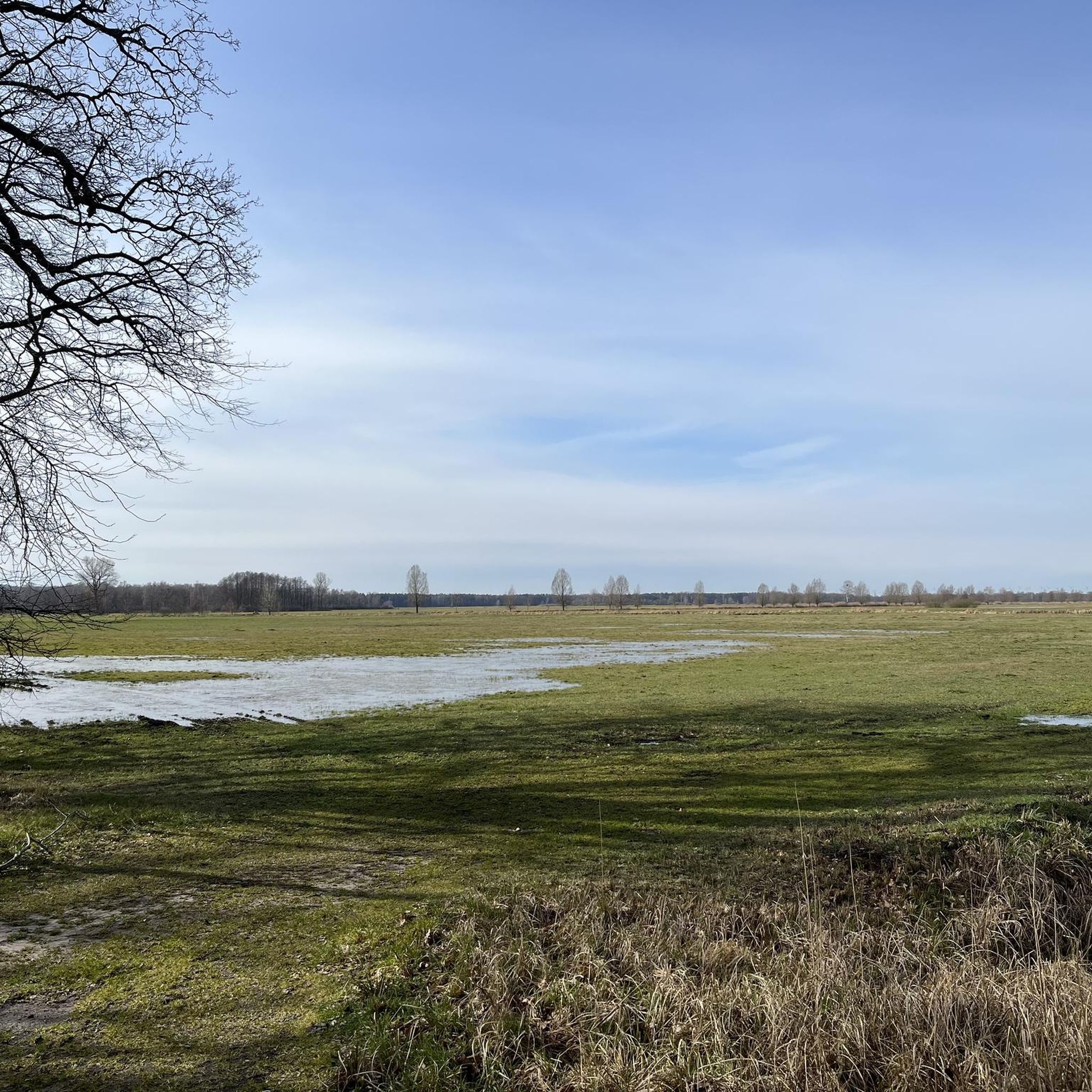
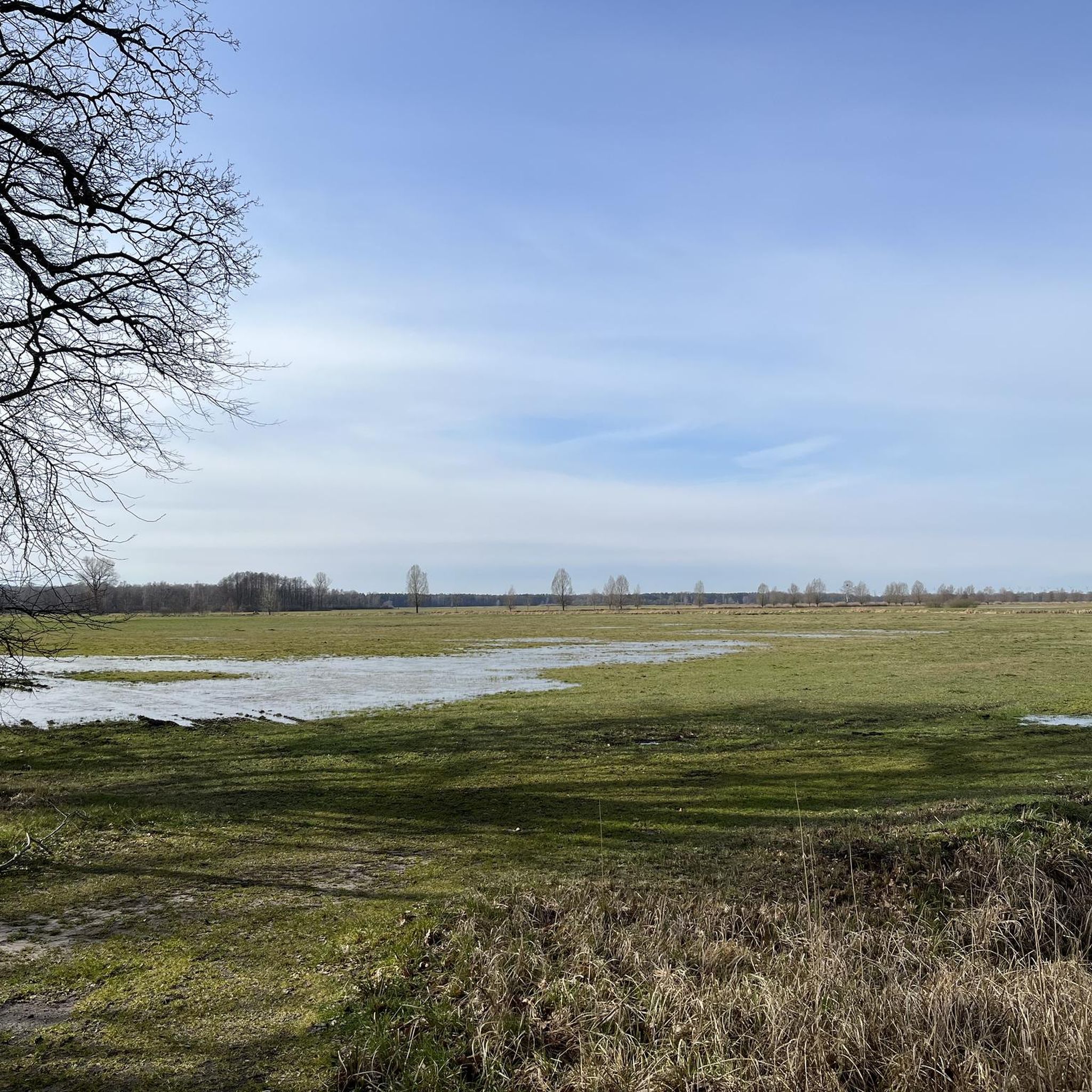
Hikers in Schöbendorfer Busch will encounter a diverse landscape. The area features remnants of original mixed deciduous forests, including alder swamp forests near the Hammerfließ and Mückendorfer Graben, and oak-hornbeam forests. You'll also find the low-lying Baruth glacial valley, waterways, and to the south, the distinct 'Lange Horstberge' dune, which reaches up to 8 meters high. The varied terrain includes sandy lowlands and areas with rich flora.
Are there easy hiking options for beginners or those looking for a relaxed walk?
Yes, Schöbendorfer Busch has plenty of easy options. Out of over 290 trails, more than 150 are classified as easy, making them suitable for beginners or those seeking a relaxed outdoor experience. An example of an easy path is the Incline Track, FKVV Horstwalde – Steep Hill Ramp loop from Schöbendorfer Busch, which is about 3.9 miles (6.3 km) long and explores varied terrain with gentle inclines.
What are some notable landmarks or points of interest to see along the trails?
Along the trails in Schöbendorfer Busch, you can discover several interesting points. These include the Historic Horstmühle Monument, the Schmelze Memorial Shelter (Horstwalde), and the Ancient Oak Grove Nature Monument. There's also the Bombachhaus, offering a glimpse into the area's history.
Is Schöbendorfer Busch suitable for family hikes with children?
Yes, Schöbendorfer Busch is well-suited for family hikes. With a significant number of easy trails and diverse natural features like forests and waterways, there are many routes that are manageable and engaging for children. The varied flora and fauna also provide educational opportunities for younger hikers.
Can I bring my dog on the hiking trails in Schöbendorfer Busch?
Generally, dogs are welcome on hiking trails in Schöbendorfer Busch. However, as it is a nature reserve, it's important to keep dogs on a leash to protect wildlife and ensure a pleasant experience for all visitors. Always check local signage for any specific restrictions in certain areas.
What is the best time of year to hike in Schöbendorfer Busch?
Schöbendorfer Busch offers unique beauty throughout the year. Spring is particularly vibrant, with the forest floor coming alive with demanding deciduous forest species like liverwort, wood anemone, and common toothwort. Summer provides lush greenery and shade, while autumn transforms the forests with rich colors. Even winter hiking can be a serene experience, though conditions may vary.
Are there any circular hiking routes available?
Yes, many of the hiking routes in Schöbendorfer Busch are designed as circular paths, allowing you to start and end at the same point without retracing your steps. An example is the Village Pond Mückendorf – Papitz–Mückendorf Country Road loop from Schöbendorfer Busch, which is about 9.2 miles (14.8 km) long and leads through riparian habitats and agricultural lands.
What do other hikers enjoy most about hiking in Schöbendorfer Busch?
The area is highly rated by the komoot community, with an average score of 4.5 stars from over 1,400 reviews. Hikers often praise the diverse forest ecosystems, the tranquil atmosphere of the low-lying glacial valley, and the well-maintained network of trails that offer options for various ability levels. The rich biodiversity, including rare insect species and ancient oaks, also adds to the appeal.
How can I access Schöbendorfer Busch by public transport?
While specific public transport connections can vary, the Schöbendorfer Busch nature reserve is located in the Teltow-Fläming district of Brandenburg. It's advisable to check regional bus or train schedules to nearby towns like Baruth/Mark or Luckenwalde, and then plan for local connections or a short walk/cycle to reach the trailheads. Information on local transport can usually be found on the regional transport authority's website.
Are there opportunities to observe wildlife in Schöbendorfer Busch?
Yes, Schöbendorfer Busch is known for its significant fauna, particularly its insect population. The core zone of the nature reserve, with its high proportion of deadwood, provides ideal conditions for rare species such as the hermit beetle, the great capricorn beetle, and the longhorn beetle. It boasts Germany's largest, and possibly Central Europe's largest, population of longhorn beetles. The Bechstein's bat has also been observed in the area, offering opportunities for wildlife spotting.
Most popular routes in Schöbendorfer Busch
Most popular attractions in Schöbendorfer Busch

Get inspired with the komoot mobile app


Explore more
Browse the best Hikes in other regions.
