The best MTB trails in Oberes Rhinluch
4.5
(62)
227
riders
55
rides
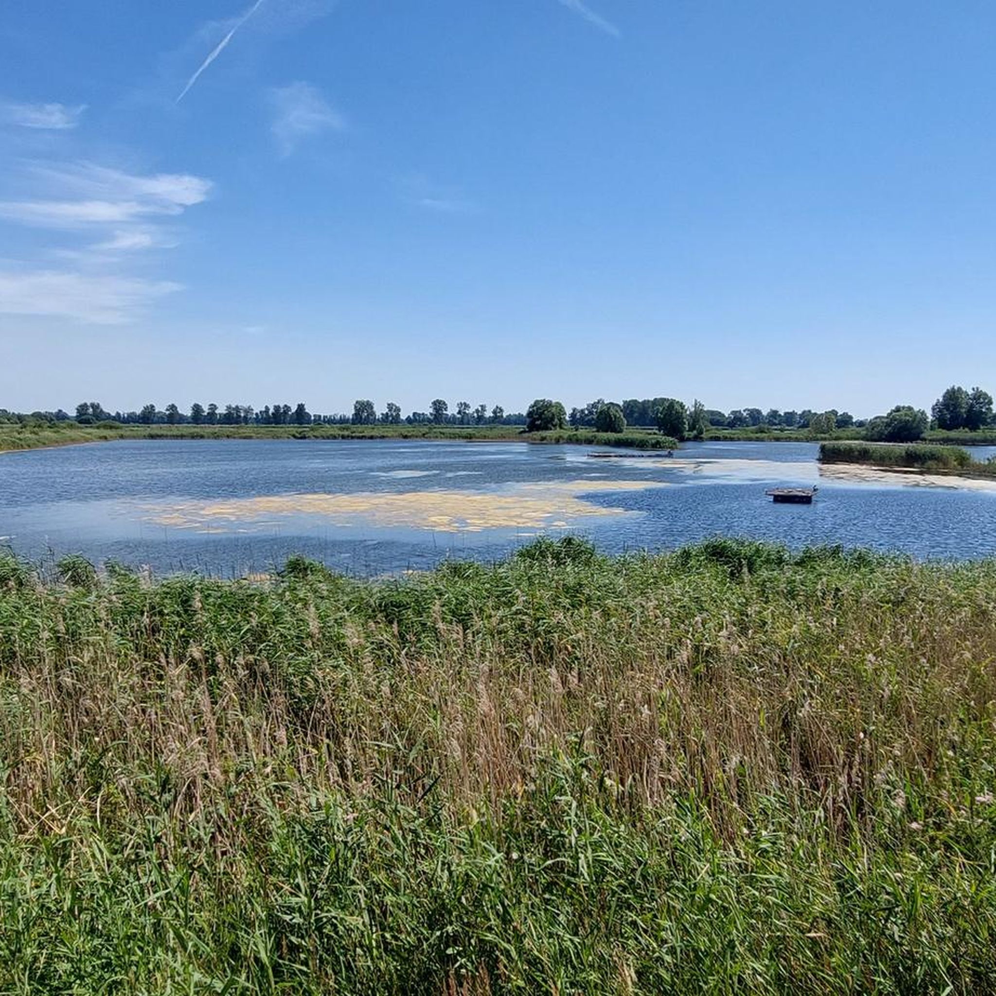
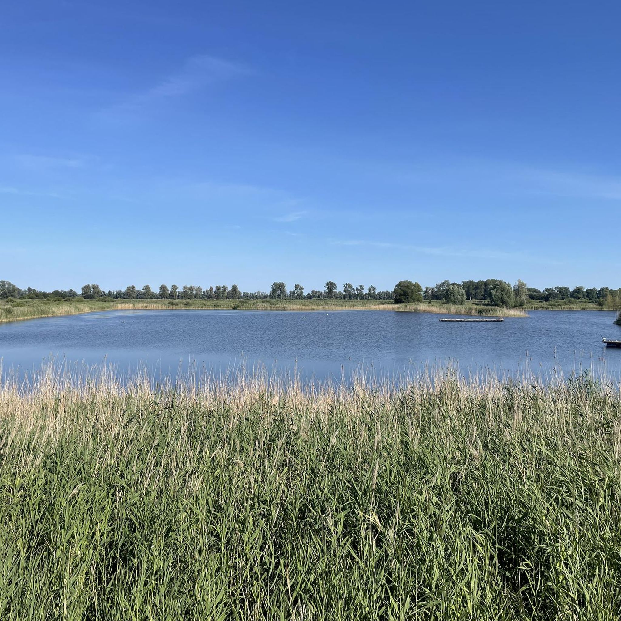
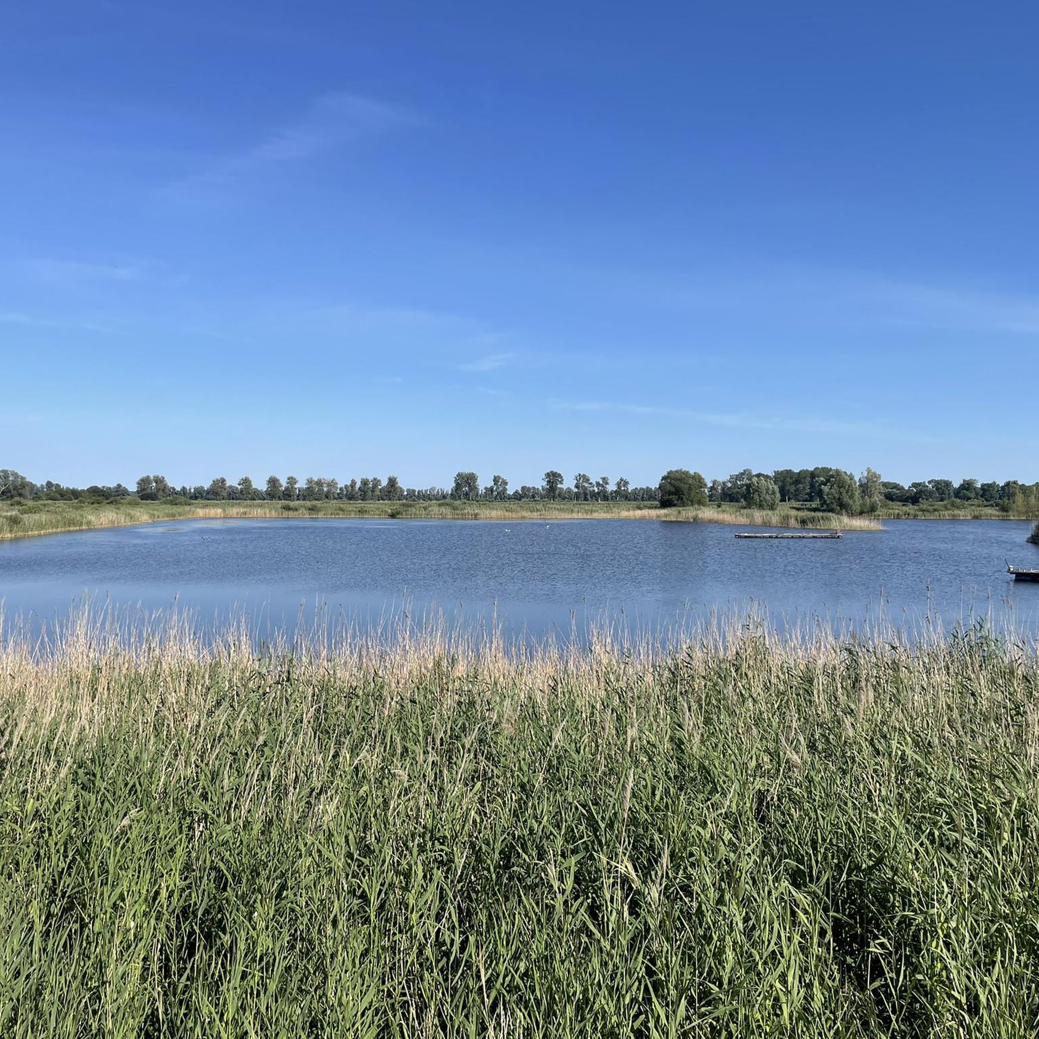
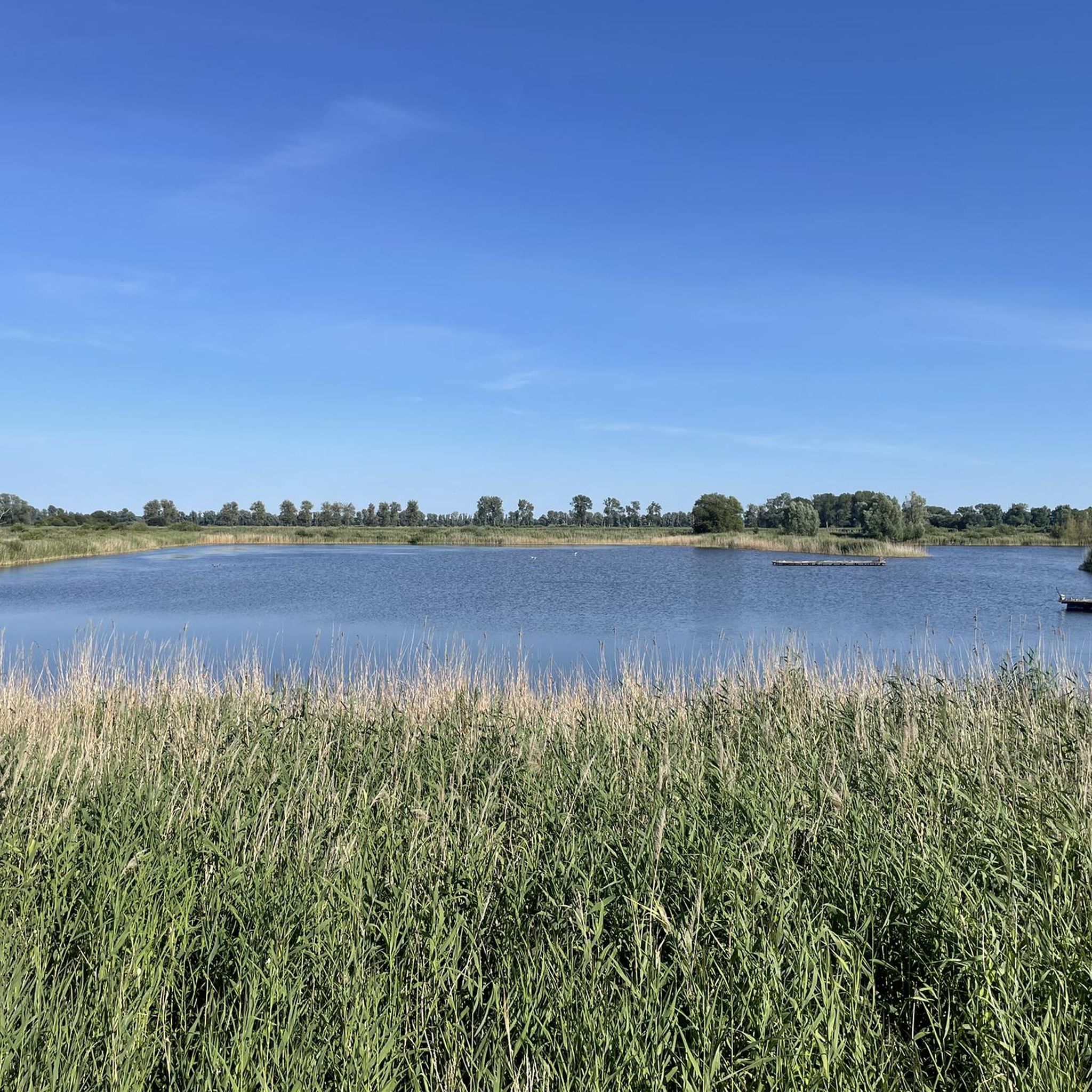
Mountain bike trails in Oberes Rhinluch traverse a vast low moor landscape in Brandenburg, Germany. This region is characterized by expansive, flat terrain, featuring wide meadows, pastures, and wetlands, interspersed with tree rows and marsh forests. The Rhin river system, including the Amtmannkanal and areas around the Alte Rhin, forms the core of this watery landscape. This flat topography provides accessible conditions for exploring the diverse ecosystems on a mountain bike.
Best mountain bike trails in Oberes Rhinluch
- The most…
Last updated: May 16, 2026
3.0
(1)
4
riders
39.0km
02:06
50m
50m
Moderate mountain bike ride. Good fitness required. Advanced riding skills necessary.
3
riders
Easy mountain bike ride. Great for any fitness level. Suitable for all skill levels.

Sign up for free
5.0
(1)
5
riders
52.6km
02:57
160m
160m
Moderate mountain bike ride. Good fitness required. Advanced riding skills necessary.
4.0
(2)
4
riders
42.7km
02:20
70m
70m
Moderate mountain bike ride. Good fitness required. Advanced riding skills necessary.
4.0
(2)
4
riders
32.7km
01:45
90m
90m
Easy mountain bike ride. Great for any fitness level. Suitable for all skill levels.
Get access to more routes and recommendations from other explorers.
Sign up for free
Already have an account?
Our route recommendations are based on thousands of hikes, rides, and runs completed by other people on komoot.
Start today with a free account
Your next adventure awaits.
Login or Signup
Tips from the Community

Two fires in the mid-18th century (including in 1746) destroyed the old fieldstone church and parts of the town. Under the supervision of the "Churmärkisches Amts-Kirchen-Revenuen-Direktorium" and with the support of the Prussian king and surrounding villages, the current building was erected from 1751 to 1755.
0
0

The Wichmann Linden tree in Neuruppin is a living natural monument – a tree that breathes history and enriches the city with its serene presence. This impressive winter linden stands near the city wall by the Neuruppin Monastery Church and is one of the oldest trees in the region. With an estimated age of over 700 years, it is not only a botanical highlight but also a symbol of both continuity and change. The tree is hollow after being struck by lightning, but this does not diminish its majestic appearance – on the contrary: it acts as a venerable guardian of the city's history. https://www.baumkunde.de/baumregister/3327-wichmannlinde_in_neuruppin/
2
0
Lake Ruppin covers an area of 8.25 km² and is 14 km long, making it the longest lake in Brandenburg. Its maximum depth is approximately 24 m. A roughly 25 km long circular path leads around the lake, inviting hikers and especially cyclists to explore. To the south of the lake lies Wustrau, a village of about 1,100 inhabitants, which is well worth a visit. The lake receives its water from the Rhin River via the Zermützelsee, the Tetzensee, and the Molchowsee at the Altruppin lock, and flows into the Bützsee via the Wustrauer Rhin. https://www.goruma.de/staedte/neuruppin/neuruppin-sehenswuerdigkeiten
2
0
The monumental stainless steel sculpture "Parzival am See" (Parzival by the Lake) on the shore of Lake Ruppin is far more than just a work of art; it is a powerful symbol of change and hope. Standing a proud 17 meters tall, Parzival, created by the artist Matthias Zágon Hohl-Stein, was unveiled in 1998 to mark the town's renaming as "Fontanestadt" (Fontane City). The symbolism is particularly striking: In one hand, Parzival holds a windmill, in the other an ark – symbols of progress and preservation. The sculpture represents a new Neuruppin without a garrison, a city on the move, confronting its history while simultaneously looking to the future. An inspiring place that invites reflection – and a fantastic photo opportunity right on the lakeshore. Anyone visiting Neuruppin should definitely take a look at this modern-day knight. https://tourismus-neuruppin.de/kultur-erleben-neuruppin/sehenswertes-neuruppin/119-parzival-am-see-neuruppin
2
0

Beautiful route with good surface and no traffic.
0
0

Frequently Asked Questions
How many mountain bike trails are available in Oberes Rhinluch?
There are over 50 mountain bike trails in Oberes Rhinluch, offering a range of easy to moderate routes suitable for exploring the unique low moor landscape. The majority are moderate, with a good selection of easy paths for a relaxed ride.
What is the general difficulty level of mountain bike trails in Oberes Rhinluch?
The trails in Oberes Rhinluch are predominantly easy to moderate, reflecting the region's flat low moor landscape. You'll find 10 easy routes and 44 moderate routes, making it ideal for relaxed cycling and nature observation rather than technical challenges. There are also 2 difficult routes for those seeking a bit more challenge.
Are there any circular mountain bike routes in Oberes Rhinluch?
Yes, many routes in Oberes Rhinluch are designed as loops, allowing you to start and end in the same location. An example is the Lake Ruppin – Parzival at the Lake Sculpture loop from Wustrau-Radensleben, which is an easy 18.9-mile (30.4 km) ride.
What kind of natural attractions can I see along the mountain bike trails?
Oberes Rhinluch is rich in natural beauty. You can cycle past the Linum Ponds, a vital habitat for birds, or visit the Oberes Rhinluch Nature Reserve itself. The region is characterized by extensive low moor landscapes, wetlands, and the Rhin river system, offering picturesque views of meadows, pastures, and marsh forests.
Are there any viewpoints or observation towers accessible by bike?
Yes, you can cycle to the Crane Observation Tower Oberes Rhinluch or the Kranich-Schlafplatz Linum Observation Tower. These towers provide excellent vantage points for birdwatching, especially during the crane migration season, and offer panoramic views of the low moor landscape.
Is Oberes Rhinluch suitable for family-friendly mountain biking?
Absolutely. The predominantly flat terrain and numerous easy to moderate routes make Oberes Rhinluch very suitable for family cycling. The focus on nature observation and tranquil paths provides a relaxed experience for all ages. Consider routes like the Kremmen Barn Quarter – Neogothic village church in Linum loop from Linum, an easy 21.1-mile (33.9 km) path.
What is the best time of year to go mountain biking in Oberes Rhinluch?
The region is beautiful year-round, but autumn is particularly spectacular due to the crane migration at the Linum Ponds. Spring and summer offer lush green landscapes and abundant wildlife. The flat terrain makes it accessible in most conditions, but always check local weather before heading out.
What do other mountain bikers enjoy most about mountain biking in Oberes Rhinluch?
The area is highly rated by the komoot community, with an average score of 4.5 stars from over 50 reviews. Reviewers often praise the tranquil atmosphere, the unique low moor landscape, and the excellent opportunities for birdwatching and nature photography along the well-maintained paths.
Are there any routes that follow waterways or canals?
Yes, the Rhin river system is central to the region. A popular route is the Alter Rhin Canal – Fischerei Pfefferkorn Karwe loop from Linum, a moderate 24.4-mile (39.3 km) trail that follows the Alter Rhin Canal through the low moor landscape, offering scenic views of the waterways.
Where can I find parking for mountain biking in Oberes Rhinluch?
Parking is generally available in the villages and towns surrounding the nature reserve, such as Linum or Wustrau-Radensleben, which serve as common starting points for many routes. Specific parking information can often be found on the individual tour pages on komoot.
Can I reach mountain bike trails in Oberes Rhinluch using public transport?
While specific public transport options vary, the region is generally accessible via regional train and bus services to nearby towns like Linum or Wustrau-Radensleben. From these points, you can often connect directly to the cycling network. It's advisable to check current schedules and bike transport policies with local public transport providers.
Are there any longer mountain bike routes for experienced riders?
For those looking for a longer ride, the Drawbridge – Trail around Lake Ruppin loop from Wustrau-Radensleben offers a moderate 32.6-mile (52.5 km) journey, typically completed in about 2 hours 56 minutes. This route explores the area around Lake Ruppin, providing a more extensive experience of the region.
What kind of wildlife can I expect to see while mountain biking?
Oberes Rhinluch is a designated nature reserve and FFH-area, home to rich biodiversity. You might spot the Elbe beaver, otter, pond bat, kingfisher, and white stork. The Linum Ponds are particularly famous for tens of thousands of cranes during their autumn migration, making it a prime spot for birdwatching.
Most popular routes in Oberes Rhinluch
Most popular attractions in Oberes Rhinluch

Get inspired with the komoot mobile app


Explore more
Browse the best MTB trails in other regions.
