The best running trails in Gehlsbachtal
4.2
(8)
45
runners
12
runs
Jogging in Gehlsbachtal offers routes through a serene and diverse landscape shaped by the Weichselian Ice Age. The region is characterized by the Gehlsbach river, a protected trout water, and features unique heather landscapes and dry grasslands. Runners can explore varied terrain, including areas of moorland and sandy paths, providing a natural setting for outdoor exercise.
Best jogging routes in Gehlsbachtal
- The most popular jogging route is Running loop from Camping am Blanksee, a 4.0 miles (6.5 km) trail…
Last updated: July 11, 2026
5.0
(2)
6
runners
6.51km
00:41
20m
20m
Moderate run. Good fitness required. Mostly paved surfaces. Suitable for all skill levels.
3
runners
7.11km
00:45
30m
30m
Moderate run. Good fitness required. Mostly paved surfaces. Suitable for all skill levels.

Sign up for free
2
runners
7.50km
00:47
30m
30m
Moderate run. Good fitness required. Mostly paved surfaces. Suitable for all skill levels.
6
runners
Moderate run. Good fitness required. Mostly paved surfaces. Suitable for all skill levels.
3.7
(3)
6
runners
5.58km
00:35
20m
20m
Moderate run. Good fitness required. Mostly paved surfaces. Suitable for all skill levels.
Get access to more routes and recommendations from other explorers.
Sign up for free
Already have an account?
Our route recommendations are based on thousands of hikes, rides, and runs completed by other people on komoot.
Start today with a free account
Your next adventure awaits.
Login or Signup
Popular around Gehlsbachtal
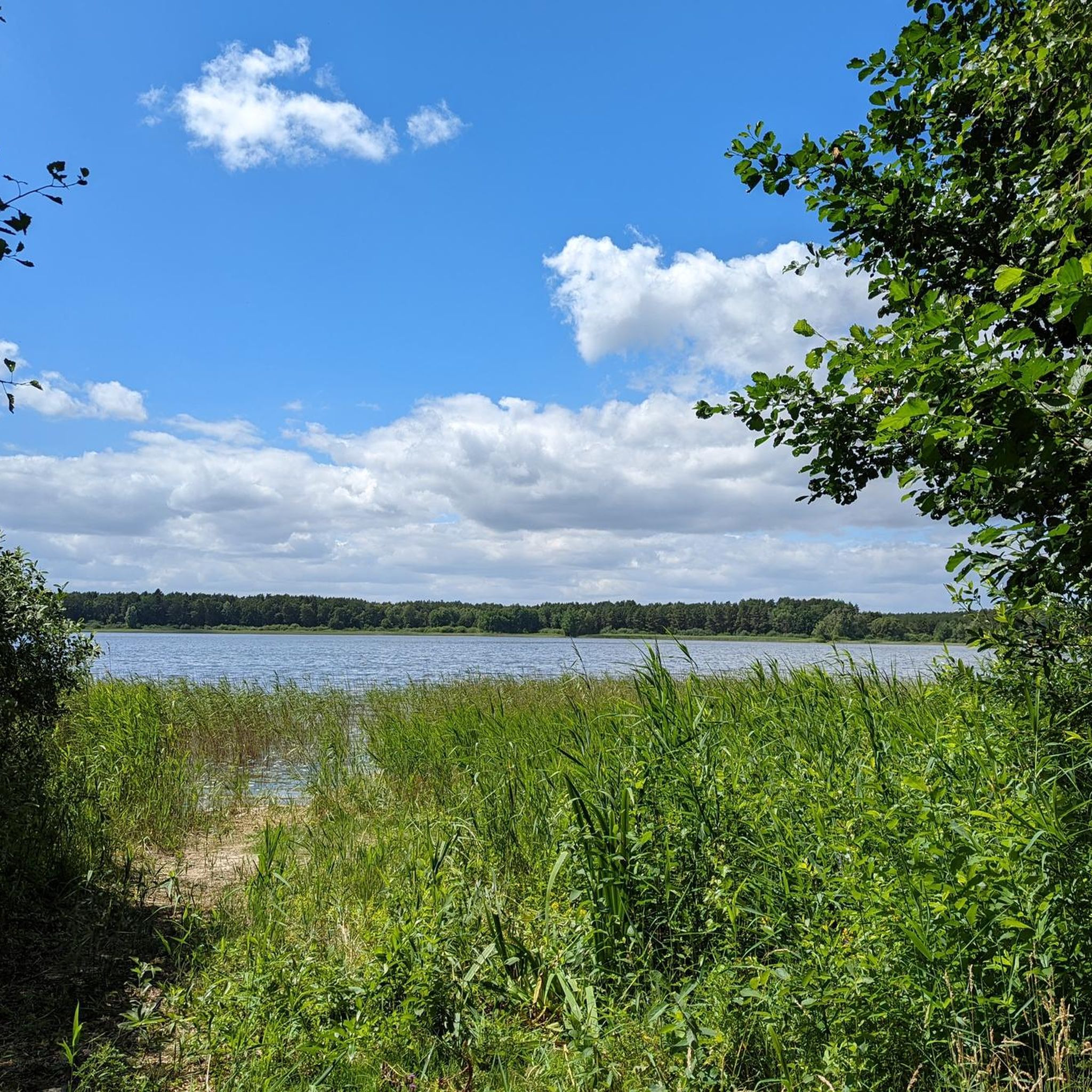
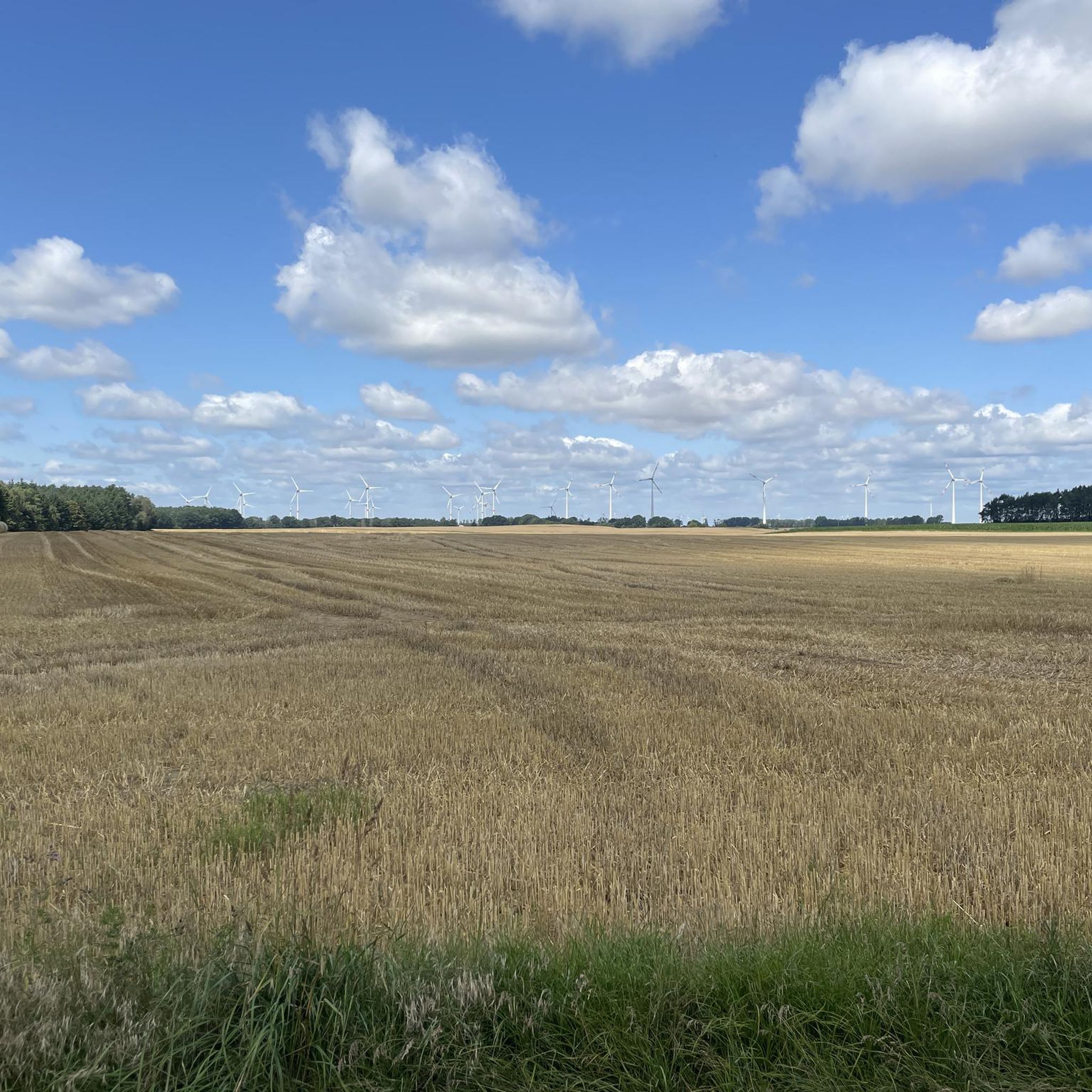
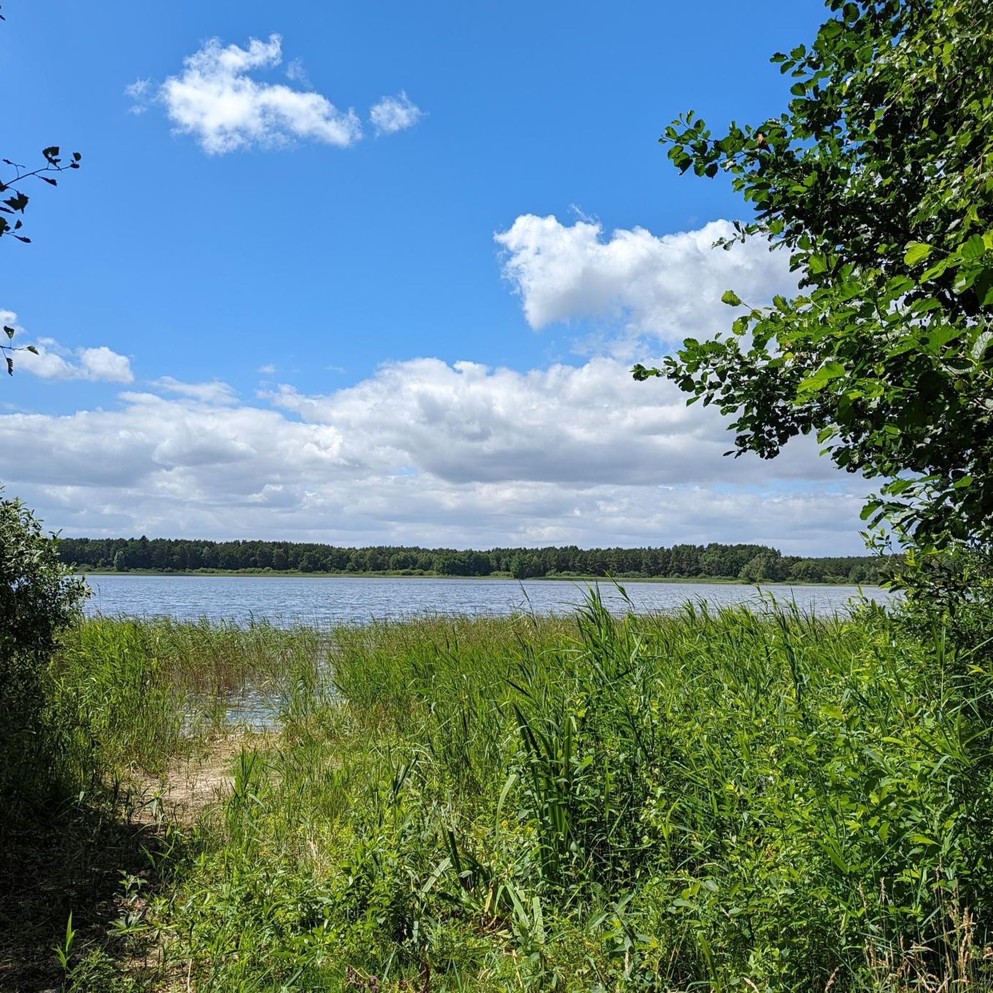
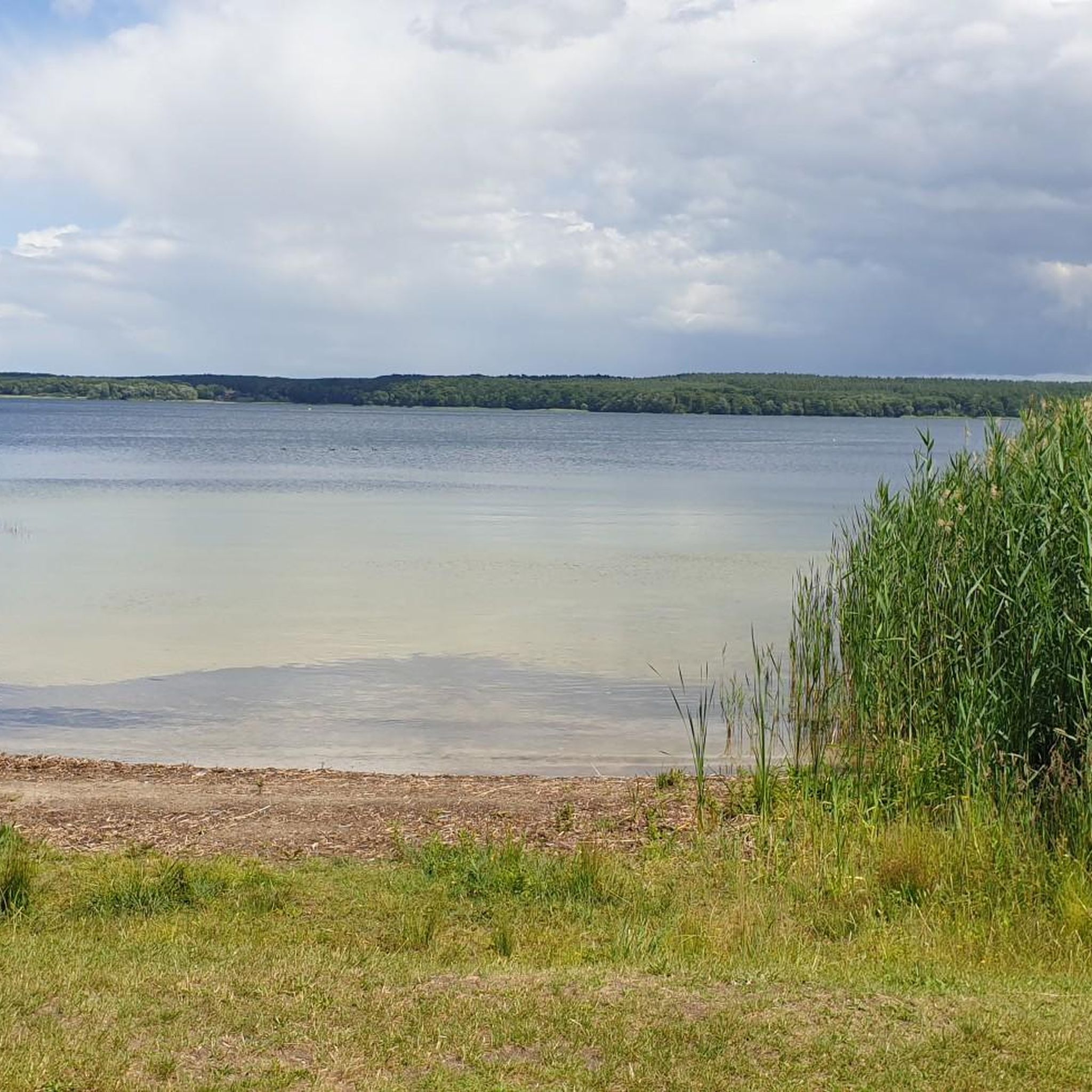
Tips from the Community


The water tower was built in 1913 and is 37 meters tall. The water reservoir, with a volume of 150 cubic meters, was located at a height of 25 meters. The water tower was decommissioned in 1978. It has been a listed technical monument since 1990. In 2006, it was converted into an observation tower. From May to October, visitors can admire the view of the Müritz-Elde waterway and the historic old town from a height of 26 meters.
1
0
Beautiful forest path. Ideal for jogging or hiking.
4
0
The water tower was built in 1913 and is 37 m high. At a height of 25 m there is a riveted iron collecting tank, which could store a water supply of 150 cbm.
5
0
Not just a small allotment garden.
4
0
Beautiful field at the edge of the forest
4
1
2 benches. time for a break
3
0
War Cemetery from World War I
3
0
Frequently Asked Questions
How many running routes are available in Gehlsbachtal?
Gehlsbachtal offers a network of over 10 running routes, catering to various fitness levels. The komoot community has explored 13 different trails in the area.
What kind of terrain can I expect on the jogging trails in Gehlsbachtal?
The terrain in Gehlsbachtal is diverse, shaped by its glacial history. You'll find a mix of sandy paths, sections through heather landscapes, and potentially moorland areas. The region is characterized by the Gehlsbach river, offering scenic routes alongside its banks.
Are there any easy running routes suitable for beginners in Gehlsbachtal?
Yes, Gehlsbachtal includes options for easy running. While many routes are moderate, there is at least one designated easy trail, making it accessible for beginners or those seeking a more relaxed run.
Are the running routes in Gehlsbachtal suitable for families?
The diverse landscape and varied trail network in Gehlsbachtal offer options that can be suitable for families. Look for shorter, easier routes with less elevation gain if running with children. The natural setting provides a great outdoor experience for all.
Can I bring my dog on the running trails in Gehlsbachtal?
The Gehlsbachtal nature reserve and its surrounding areas are generally welcoming to dogs, especially given the extensive network of natural trails. However, it's always recommended to keep dogs on a leash, particularly in nature reserve areas, to protect wildlife and ensure a pleasant experience for all users.
Are there any circular running routes in Gehlsbachtal?
Yes, many of the running paths in Gehlsbachtal are designed as loops, offering convenient circular routes. For example, the Running loop from Camping am Blanksee is a popular 4.0-mile (6.5 km) option, and the Running loop from Buchberg covers 4.7 miles (7.5 km).
What are some scenic points or natural features I might encounter while running?
While running in Gehlsbachtal, you'll experience the serene Gehlsbach River, a protected trout water, which often provides picturesque routes. The landscape also features unique heather landscapes, dry grasslands, and areas of moorland, all remnants of the Weichselian Ice Age, offering varied and interesting natural views.
What do other runners say about the trails in Gehlsbachtal?
The running routes in Gehlsbachtal are highly rated by the komoot community, with an average score of 4.2 stars from 8 reviews. Runners often praise the tranquil natural setting and the varied terrain that makes for an engaging outdoor experience.
Are there options for parking near the running trails?
Given the nature of the Gehlsbachtal region and its extensive trail network, parking is generally available at common access points or trailheads, especially near municipalities like Gehlsbach. It's advisable to check specific starting points for designated parking areas.
What is a good moderate running route in the area?
A great moderate option is the Wangeliner Garten loop from Buchberg. This 4.4-mile (7.1 km) path winds through the natural surroundings near the Wangeliner Garten, offering a pleasant and engaging run.
What is the best time of year to go running in Gehlsbachtal?
Gehlsbachtal offers a beautiful running experience throughout much of the year. Spring and autumn provide pleasant temperatures and vibrant scenery, especially when the heather is in bloom. Summer can be enjoyable, but consider early morning or late afternoon runs to avoid the midday heat. Winter runs are possible, but be prepared for potentially colder, wetter conditions on the trails.
Are there any longer running routes for experienced runners?
Yes, for those looking for a longer challenge, routes like the Viewing Tower Old Water Tower – World War I Soldiers' Cemetery loop from Lübz offer a more extended run. This route covers 8.1 miles (8.2 km) with moderate elevation changes, providing a good workout for experienced runners.
Most popular routes in Gehlsbachtal

Get inspired with the komoot mobile app


Explore more
Browse the best Running Trails & Routes in other regions.
