The best cycling routes in Gehlsbachtal
4.4
(390)
1,709
riders
121
rides
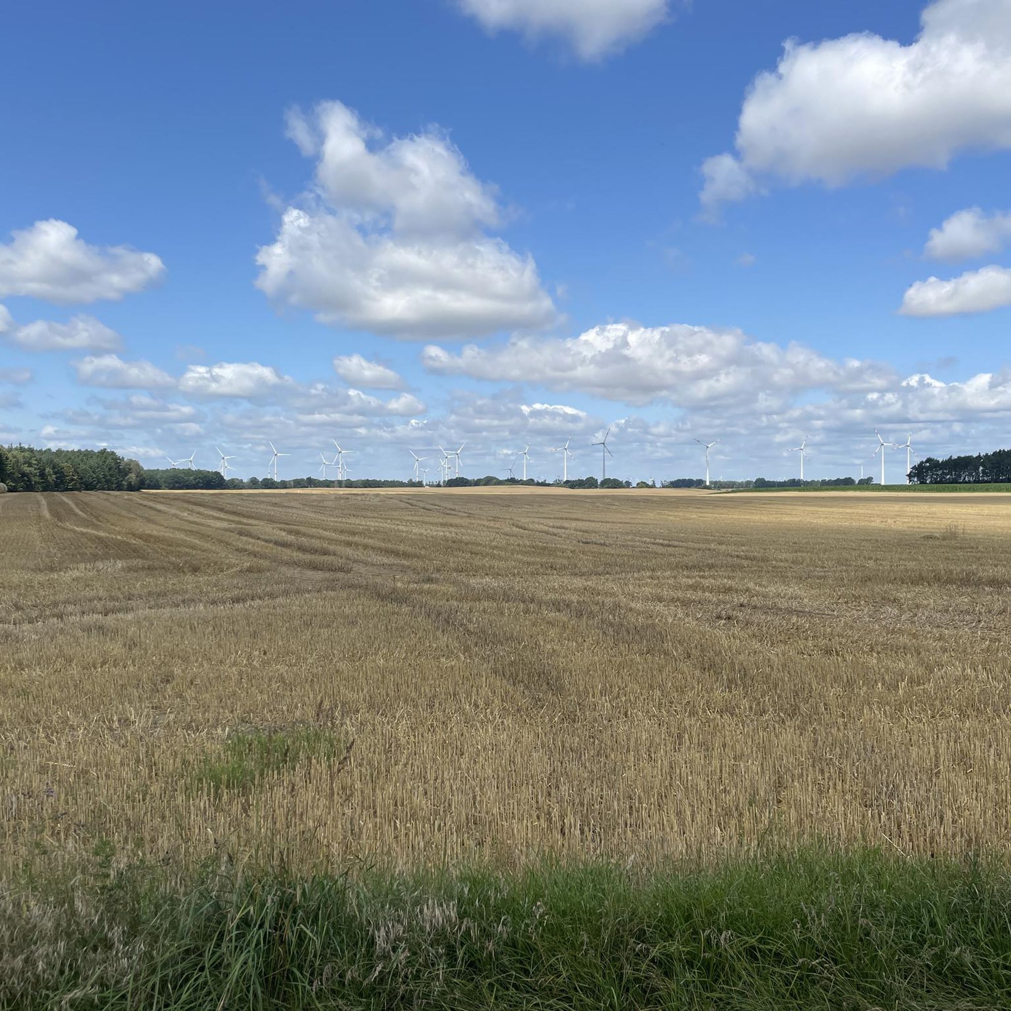
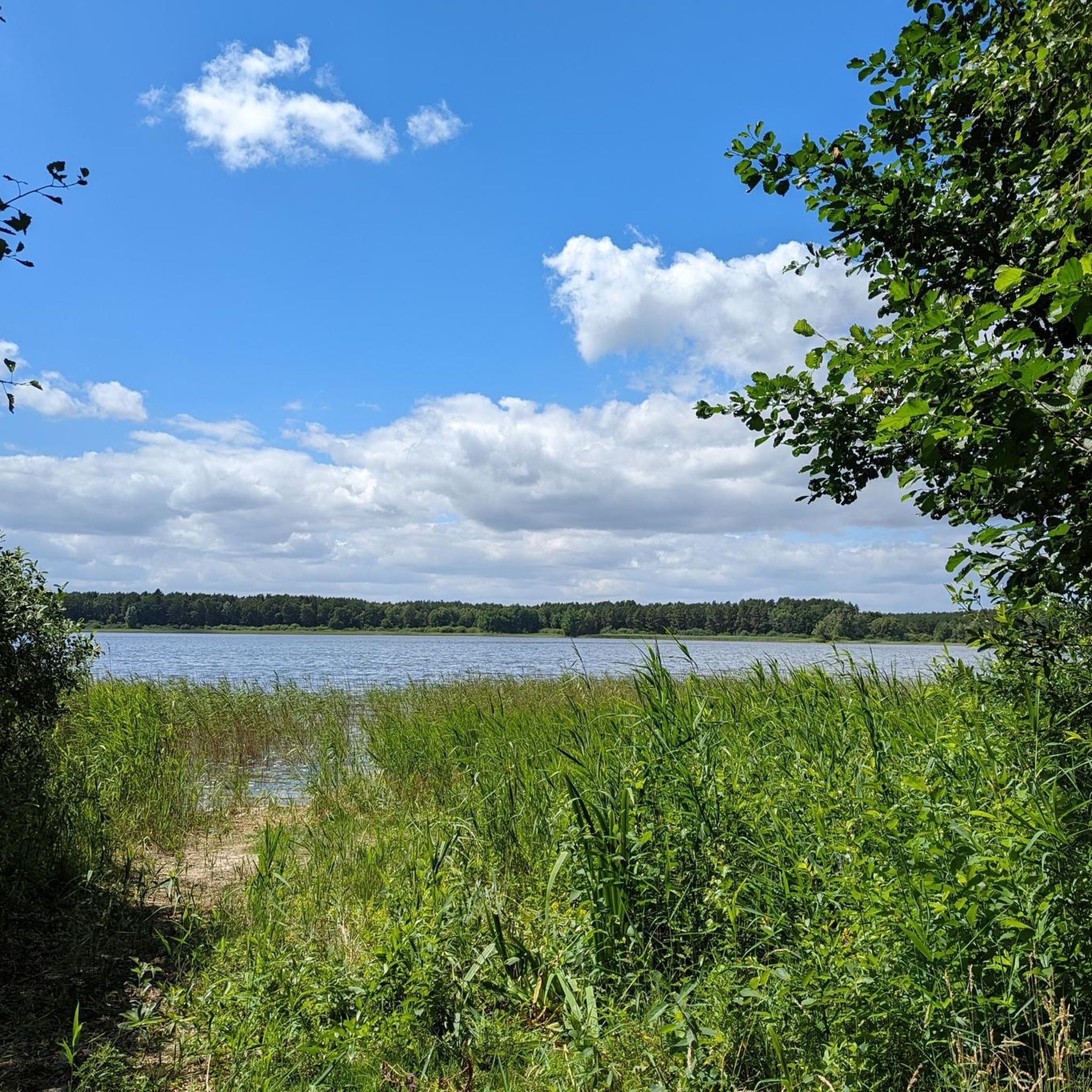
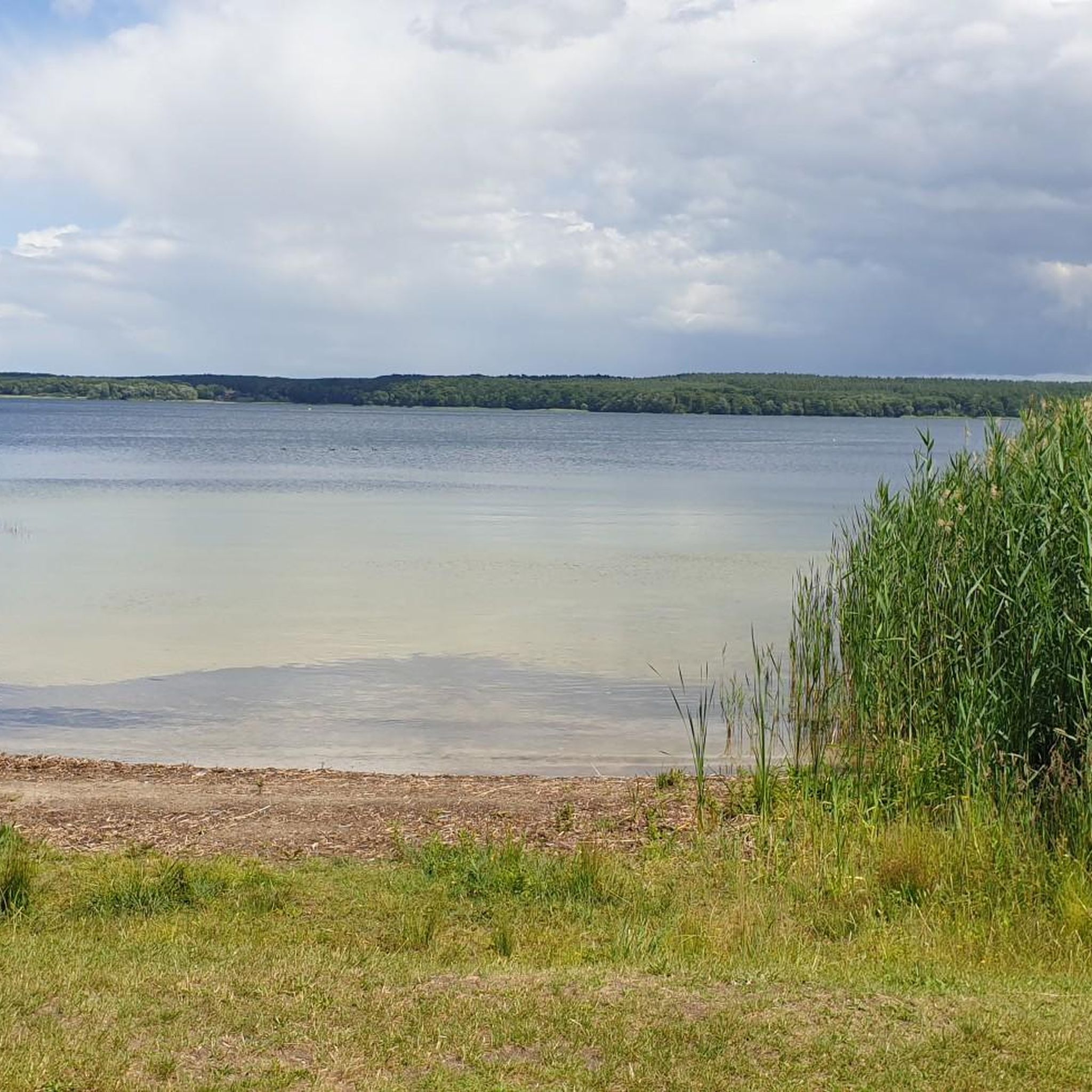
Touring cycling routes in Gehlsbachtal traverse a region characterized by a relatively flat topography, with elevations ranging from 47 to 59 meters above sea level. The area is known for its unspoiled river systems and numerous boggy river valleys. This landscape offers varied terrain for touring cyclists, often featuring natural and unbuilt environments.
Best touring cycling routes in Gehlsbachtal
- The most popular touring cycling route is Camping Blanksee – Gischow Village Church loop from Camping am Blanksee, a 12.7…
Last updated: May 16, 2026
4.2
(13)
32
riders
Easy bike ride. Great for any fitness level. Mostly paved surfaces. Suitable for all skill levels.
5.0
(2)
16
riders
45.1km
02:42
140m
140m
Moderate bike ride. Good fitness required. Mostly paved surfaces. Suitable for all skill levels.

Sign up for free
4.5
(2)
11
riders
31.8km
02:14
130m
130m
Moderate bike ride. Good fitness required. Mostly paved surfaces. Suitable for all skill levels.
5.0
(1)
9
riders
38.9km
02:12
80m
80m
Moderate bike ride. Good fitness required. Mostly paved surfaces. Suitable for all skill levels.
5.0
(1)
11
riders
Easy bike ride. Great for any fitness level. Mostly paved surfaces. Suitable for all skill levels.
Get access to more routes and recommendations from other explorers.
Sign up for free
Already have an account?
Our route recommendations are based on thousands of hikes, rides, and runs completed by other people on komoot.
Start today with a free account
Your next adventure awaits.
Login or Signup
Tips from the Community

The Bobzin hydroelectric power station near Lübz benefits from the steep gradient of the Elde River there: The adjacent lock, with a lift height of 6.80 meters, is considered the deepest in Mecklenburg. The Zieher family took over the power station and the farmstead of the caretakers' families in 1993. The house has since served as a guesthouse. A vertical water turbine installed in the power station in 1999 once again generates electricity. It also serves as an exhibition space for the Museum of Regional Electricity Supply. The coal shortage after the First World War, among other things, triggered the construction of these facilities. The hydroelectric power station of the Mecklenburg-Schwerin State Electricity Works and the Bobzin lock were built between 1923 and 1925. To integrate this lock into the course of the Elde, a section of the river was straightened, and locks dating back to 1803 were decommissioned. Two of these can still be found in Fahrenhorst and Forsthof near Kuppentin. The power plant remained in operation until its Soviet dismantling in 1946 and, using new technology, began generating electricity again in 1954. Due to technical problems and water shortages (agriculture required a lot of water), the plant was shut down again in 1974.
0
0

We were lucky on our tour and were able to witness a lock. Highly recommended 👍.
1
0


Very beautiful brick church with a beautiful forecourt to linger and take a break
0
0
The umbrella children sponsored by the Lübzer Brewery
0
0
Frequently Asked Questions
Is cycling permitted within the Gehlsbachtal nature reserve?
No, cycling is explicitly forbidden within the boundaries of the Gehlsbachtal nature reserve. This measure is in place to protect its sensitive ecosystems, including its unspoiled river system, boggy valleys, and diverse wildlife such as otters and various bird species. Visitors are encouraged to explore the reserve on foot to respect these conservation efforts.
Where can I find touring cycling routes near the Gehlsbachtal nature reserve?
While cycling is not allowed within the nature reserve itself, the broader region around Gehlsbachtal offers numerous touring cycling opportunities. Komoot provides over 120 routes in the surrounding area, catering to various skill levels. These routes often feature the region's characteristic flat topography, rural landscapes, and views of nearby lakes and villages.
What kind of terrain can I expect on touring cycling routes in the Gehlsbachtal region?
The touring cycling routes in the Gehlsbachtal region are generally characterized by a relatively flat topography, with elevations ranging from 47 to 59 meters above sea level. You can expect to cycle through rural landscapes, past agricultural fields, and alongside some of the region's many lakes and smaller rivers. The terrain is well-suited for touring cyclists looking for less strenuous rides.
Are there any easy or family-friendly cycling routes in the area?
Yes, the Gehlsbachtal region offers many easy routes suitable for families and beginners. For instance, the Camping Blanksee – Gischow Village Church loop from Camping am Blanksee is an easy 12.7-mile (20.4 km) trail that takes about 1 hour 33 minutes to complete, offering a scenic loop around the Blanksee area. Overall, 80 of the 122 routes available are rated as easy.
What are some popular circular cycling routes near Gehlsbachtal?
Many routes in the region are designed as loops, perfect for circular tours. A popular option is the Camping Blanksee – Gischow Village Church loop from Camping am Blanksee. Another well-liked route is the Bobziner Lock – Bobzin Hydroelectric Power Plant loop from Burow, a moderate 19.7-mile (31.8 km) trail that takes about 2 hours 14 minutes.
How long are the typical touring cycling routes in this region?
The routes in the Gehlsbachtal region vary in length. For example, the easy Camping Blanksee – Gischow Village Church loop from Camping am Blanksee is 12.7 miles (20.4 km). A more moderate option like the Plau Lift Bridge – Old Town, Plau am See loop from Burow covers 28.0 miles (45.0 km). You'll find a good mix of shorter and longer rides to suit your preference.
What do other cyclists say about touring in the Gehlsbachtal region?
The touring cycling routes in the Gehlsbachtal region are highly rated by the komoot community, with an average score of 4.4 stars from over 380 reviews. Cyclists often praise the quiet rural roads, the relatively flat terrain, and the scenic views of lakes and charming villages. Over 1600 touring cyclists have used komoot to explore this varied terrain.
Are there any routes that pass by interesting landmarks or points of interest?
Yes, several routes offer views of local landmarks. For instance, the Plau Lift Bridge – Old Town, Plau am See loop from Burow features views of the historic Plau Lift Bridge and the Old Town of Plau am See. Other routes might pass by village churches or hydroelectric power plants, offering glimpses into the region's history and infrastructure.
Can I bring my dog on the cycling routes in the Gehlsbachtal region?
While the Gehlsbachtal nature reserve itself has strict rules, many cycling paths in the surrounding region are generally dog-friendly, especially if your dog is accustomed to cycling alongside you or in a trailer. Always ensure your dog is on a leash where required and respect local regulations, particularly in populated areas or near livestock. It's advisable to check specific route details for any restrictions.
What is the best time of year for touring cycling in the Gehlsbachtal region?
The best time for touring cycling in the Gehlsbachtal region is typically from spring through early autumn (April to October). During these months, the weather is generally mild and pleasant, with less rainfall and comfortable temperatures for cycling. Spring brings blooming landscapes, while autumn offers beautiful foliage. Summer is also popular, but can be warmer.
Are there options for more challenging touring cycling routes?
While the region is known for its relatively flat terrain, there are some moderate routes for those seeking a bit more distance. For example, the Plau Lift Bridge – Old Town, Plau am See loop from Burow is a moderate 28.0-mile (45.0 km) path. Out of the 122 routes, 36 are rated as moderate, and 6 are considered difficult, offering options for varying fitness levels.
How many touring cycling routes are available in the Gehlsbachtal region?
There are over 120 touring cycling routes available in the broader Gehlsbachtal region on komoot. These routes offer a diverse range of experiences, from easy loops suitable for families to more challenging distances, all while respecting the nature reserve's cycling restrictions.
Most popular routes in Gehlsbachtal

Get inspired with the komoot mobile app


Explore more
Browse the best Cycling routes in other regions.
