The best cycling routes around Hochneukirchen-Gschaidt
4.8
(39)
261
riders
36
rides
Touring cycling routes around Hochneukirchen-Gschaidt traverse the gently undulating hilly landscape of the "Bucklige Welt" in Lower Austria. This region features elevations ranging from 500 to 900 meters, offering panoramic views over rolling hills, green fields, and mixed forests. The terrain is characterized by a constant "up and down" over the hills, providing varied cycling experiences. Orchards, particularly with apple and pear trees, are also a common feature of the landscape.
Best touring cycling routes around Hochneukirchen-Gschaidt
- The most popular…
Last updated: October 11, 2026
5.0
(3)
22
riders
Hard bike ride. Very good fitness required. Mostly paved surfaces. Suitable for all skill levels.
5.0
(4)
22
riders
31.7km
02:14
620m
620m
Hard bike ride. Very good fitness required. Mostly paved surfaces. Suitable for all skill levels.

5.0
(2)
18
riders
Hard bike ride. Very good fitness required. You may need to push your bike for some segments of this route.
5.0
(3)
19
riders
24.1km
01:46
510m
510m
Hard bike ride. Very good fitness required. Mostly paved surfaces. Suitable for all skill levels.
3.0
(2)
12
riders
19.7km
01:24
360m
360m
Moderate bike ride. Good fitness required. Mostly paved surfaces. Suitable for all skill levels.
Get access to more routes and recommendations from other explorers.
Already have an account?
Our route recommendations are based on thousands of hikes, rides, and runs completed by other people on komoot.
Start today with a free account
Your next adventure awaits.
Popular around Hochneukirchen-Gschaidt

Viennese Alpenbogen – Lower Austria's most beautiful peaks
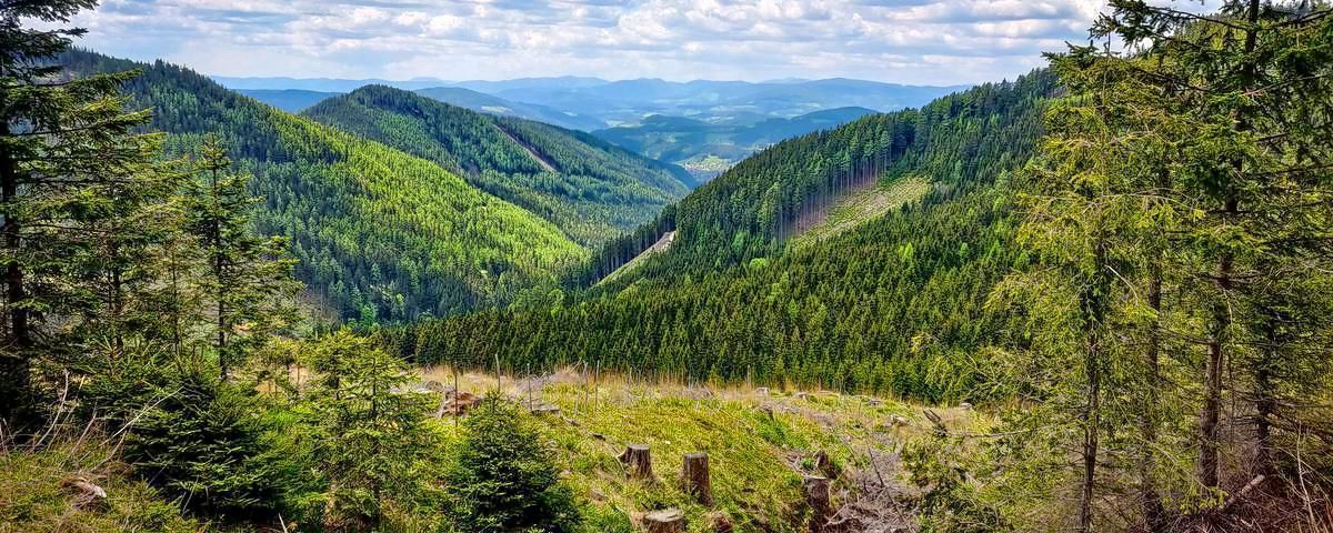
Alpannonia – Crossing borders from Austria to Hungary
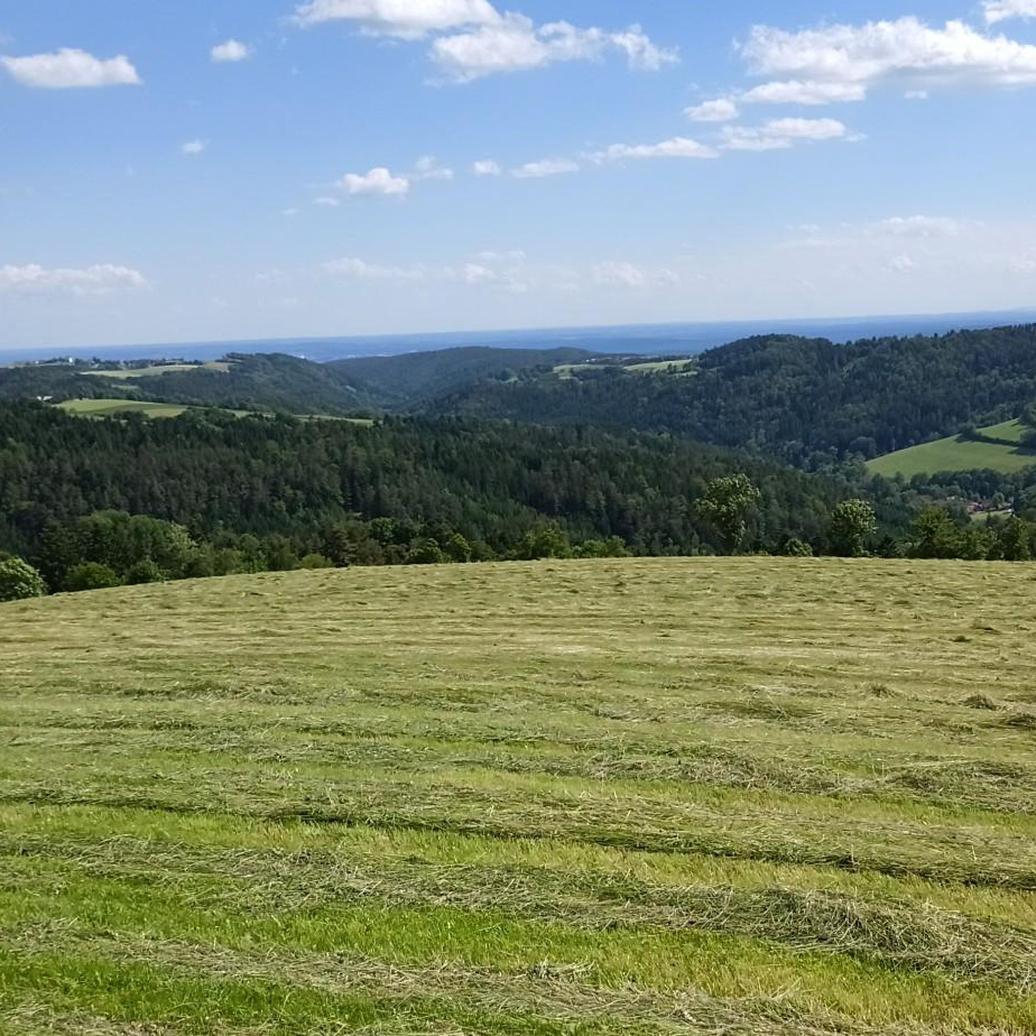
Hiking around Hochneukirchen-Gschaidt
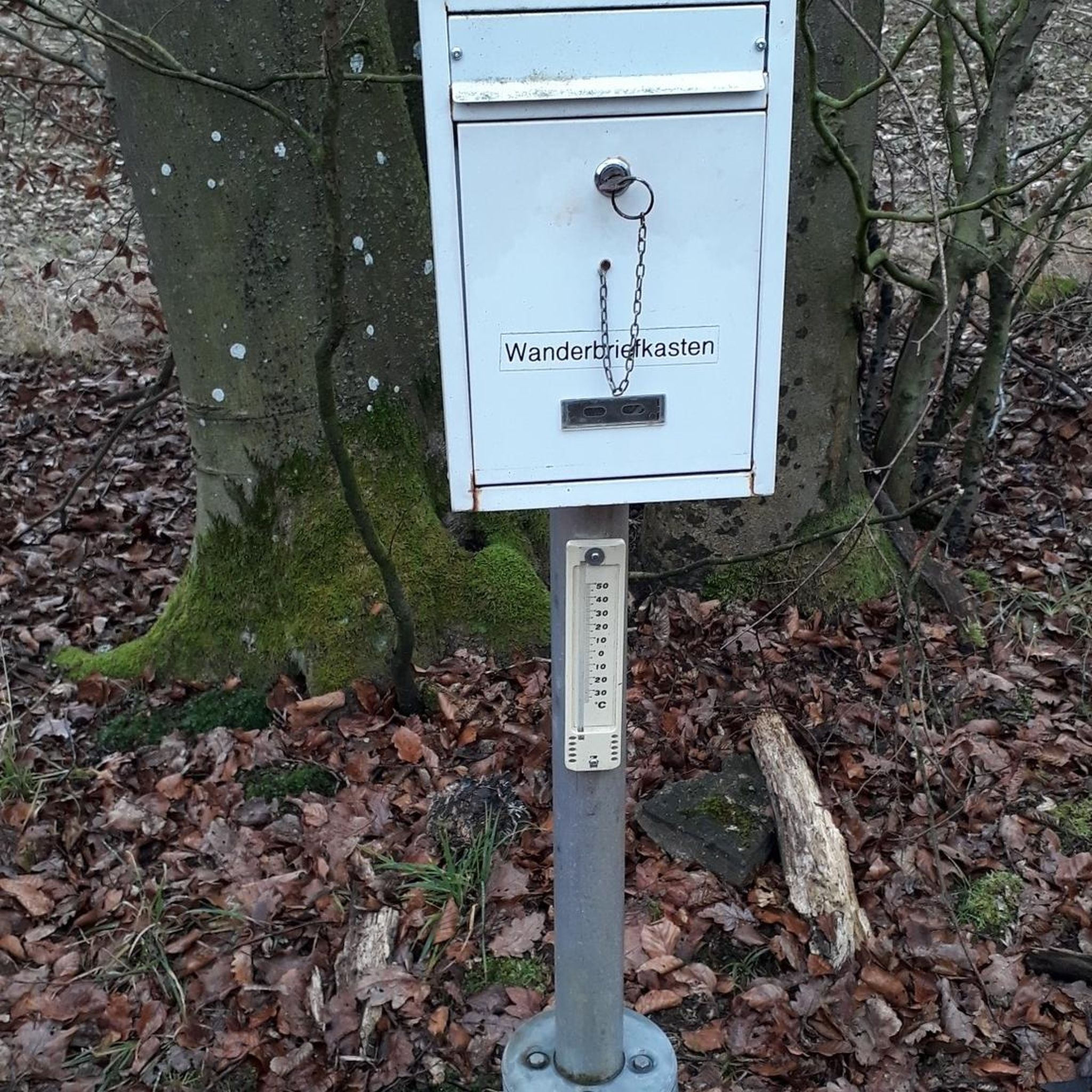
Gravel biking around Hochneukirchen-Gschaidt
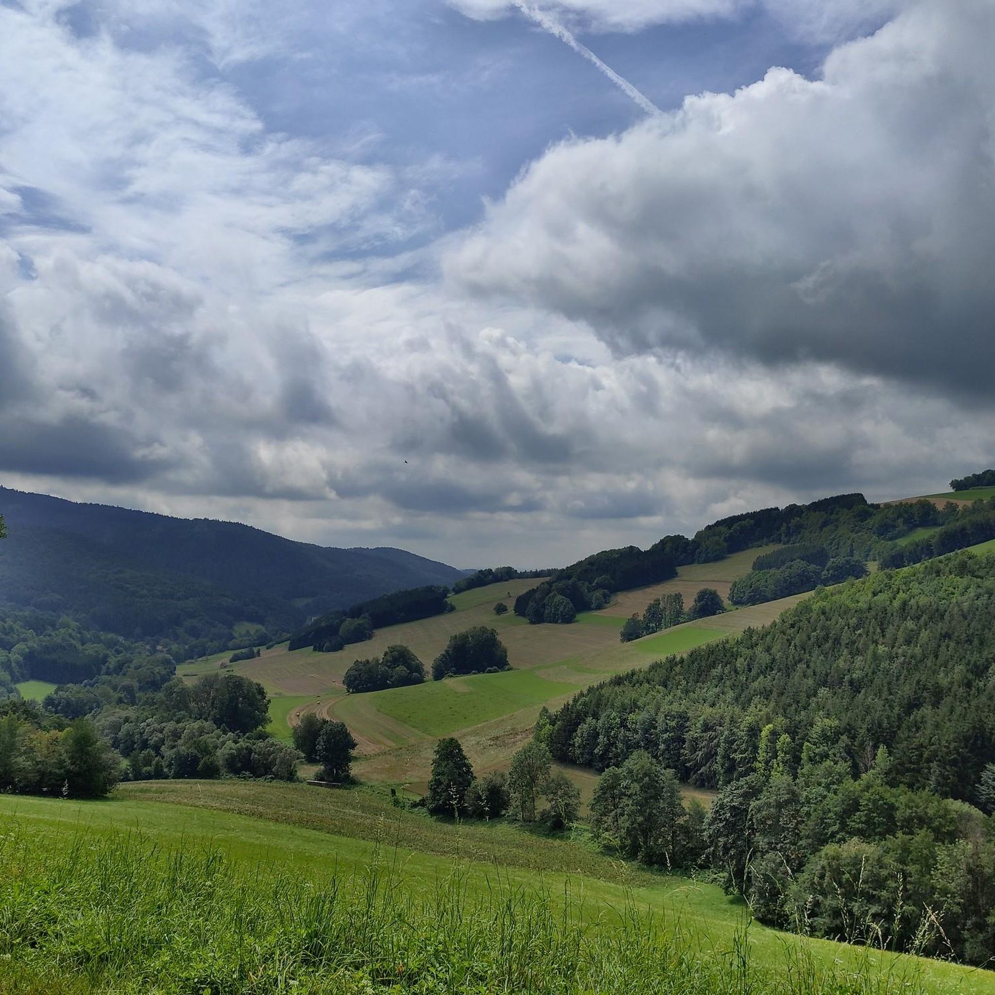
Running Trails around Hochneukirchen-Gschaidt
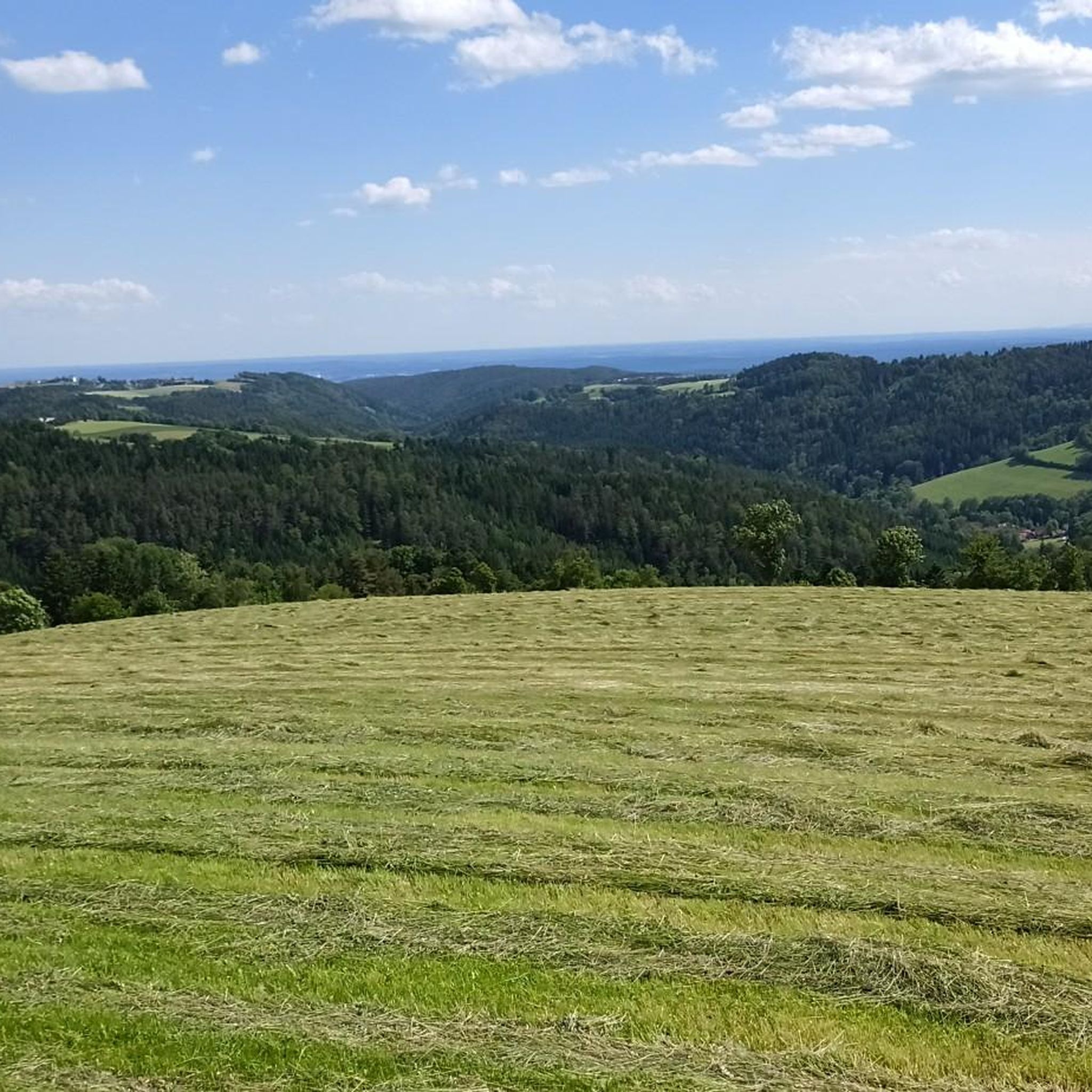
Road Cycling Routes around Hochneukirchen-Gschaidt
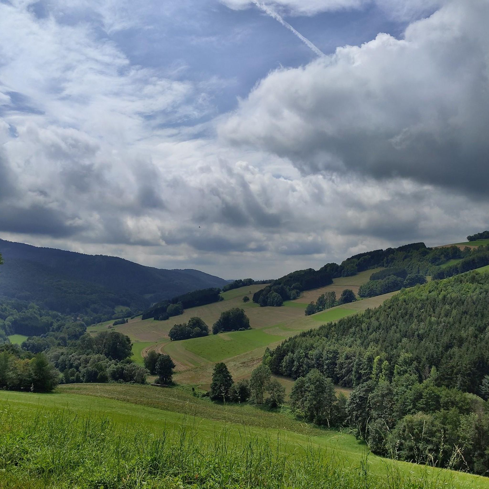
MTB Trails around Hochneukirchen-Gschaidt
Other adventures around Hochneukirchen-Gschaidt


Tips from the Community

A very beautiful view all around into the beautiful landscape
0
0

The boundary stone marks the borders of the cadastral communities of Gschaidt in the north, Hochneukirchen in the east, Schmiedrait in the south, and Götzendorf in the west, and thus the borders of the political communities of Hochneukirchen-Gschaidt, Oberschützen, and Schäffern, the political districts of Wiener Neustadt, Oberwart, and Hartberg-Fürstenfeld, the regions of Industrieviertel, Südburgenland, and Oststeiermark, as well as the states of Lower Austria, Burgenland, and Styria.
1
0

A main square of the prettier kind. Have been here several times. In addition to the sights, some gastronomic establishments also invite you to stop by. Especially worth a visit in summer, because of the floral decorations.
0
0
Great viewpoint! Of course, also perfect for photos!
0
0
The city museum is located north of the church. It looks a bit unassuming from the outside and is easy to miss. A special feature is the knight embedded in the facade. More information on opening hours and exhibitions can be found here: https://www.pinkafeld.gv.at/lieben/geschichte-tradition/stadtmuseum/
0
0
A beautiful church with a small, shady park next to it. You will also find some sculptures here, as well as the war memorial. We liked it here.
0
0
A really nice, lively place. Lots of floral decorations, fountains, church, town hall, monuments, statues... and some places to eat. Worth stopping by.
0
0

High tower, lots of steps, great view.
2
0
Frequently Asked Questions
What kind of terrain can I expect on touring cycling routes around Hochneukirchen-Gschaidt?
The region, part of the "Bucklige Welt" (Land of a Thousand Hills), is characterized by a gently undulating hilly landscape. You'll experience a constant "up and down" over hills ranging from 500 to 900 meters above sea level. Routes often feature green fields, forests, and charming orchards, providing varied and picturesque scenery. Most routes are on mostly paved, low-traffic side roads.
Are there touring cycling routes suitable for beginners or those seeking an easier ride?
While many routes in Hochneukirchen-Gschaidt feature significant elevation gains and are rated as difficult, there are also options for more leisurely tours. The region offers varied route options, and e-bike routes are available to make the hilly terrain more accessible to a wider audience, including beginners.
What are some notable landmarks or viewpoints I can visit while cycling in the area?
Several attractions enhance the touring cycling experience. You can visit the Hutwisch Observation Tower, which offers magnificent panoramic views extending to Schneeberg and Neusiedlersee. Another interesting stop is the Dreiländerstein, a historical landmark marking the borders of Lower Austria, Styria, and Burgenland. The region also features impressive fortified churches and idyllic villages.
Are there any circular touring cycling routes in Hochneukirchen-Gschaidt?
Yes, many of the touring cycling routes around Hochneukirchen-Gschaidt are designed as loops. For example, you can explore the Pinkafeld Main Square – View of Pinkafeld loop or the Aschau Observation Tower loop. These circular routes allow you to start and end your journey in the same location, making planning easier.
What is the best time of year for touring cycling in Hochneukirchen-Gschaidt?
The region is best enjoyed during the warmer months, typically from spring to autumn. During these seasons, the weather is generally pleasant, and the landscapes are vibrant with green fields and blossoming orchards. The fresh, clean air makes for an enjoyable outdoor experience. Winter cycling might be challenging due to the hilly terrain and potential for snow or ice.
Are there any family-friendly touring cycling options?
While many routes involve significant elevation changes, the region does offer varied route options, including some suitable for leisurely tours. For families, it's advisable to look for routes with less elevation gain or consider using e-bikes to make the hilly terrain more manageable. The interconnected paths also allow for combining shorter, easier sections.
Can I bring my dog on the touring cycling routes?
The touring cycling routes in Hochneukirchen-Gschaidt traverse natural landscapes, including fields and forests. While there are no specific restrictions against dogs on most public paths, it's always recommended to keep your dog on a leash, especially near livestock or in populated areas. Ensure your dog is fit enough for the hilly terrain and carry enough water for both of you.
Where can I find places to eat or stay along the routes?
The cycling routes often pass through quaint villages, providing opportunities to stop at charming inns and local eateries. The "Bucklige Welt" region is known for its hospitality, and you'll find places to refuel and rest. Some areas also offer cycling-friendly services like guesthouses with lockable bicycle garages and packed lunches.
How many touring cycling routes are available in the Hochneukirchen-Gschaidt area?
There are over 30 touring cycling routes available around Hochneukirchen-Gschaidt on komoot, offering a wide range of options for different skill levels and preferences. These routes are highly rated by the komoot community, with an average score of 4.8 stars from more than 30 reviews.
What is the typical length and duration of touring cycling routes here?
The routes vary in length and duration. For instance, the Hösten Rural Road – Grabben 17 loop is about 24.7 km (15.3 miles) and takes around 1 hour 53 minutes. Longer routes like the Hutwisch lookout tower – Dreiländerstein loop cover about 32.7 km (20.3 miles) and can take over 3 hours, depending on your pace and stops.
Are there options for parking or public transport access to the cycling routes?
The region is generally accessible by car, and you can often find parking in the villages or at designated trailheads. For public transport, connections might be more limited due to the rural nature of the area. It's advisable to check local public transport schedules in advance if you plan to use them to reach your starting point.
What makes the touring cycling experience in Hochneukirchen-Gschaidt unique?
The unique blend of Alpine foothills and low mountain ranges in the "Bucklige Welt" provides a constantly changing backdrop of rolling hills, forests, and orchards. The extensive network of 400 kilometers of signposted, low-traffic roads, combined with the fresh air and panoramic views, offers a rewarding and immersive cycling experience that stands out from flatter regions.
Most popular routes around Hochneukirchen-Gschaidt
Most popular attractions around Hochneukirchen-Gschaidt

Get inspired with the komoot mobile app


Explore more
Browse the best Cycling routes in other regions.
