The best MTB trails around Hochneukirchen-Gschaidt
4.7
(235)
982
riders
26
rides
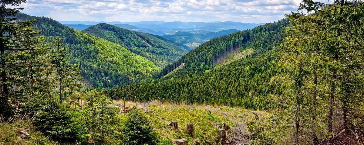
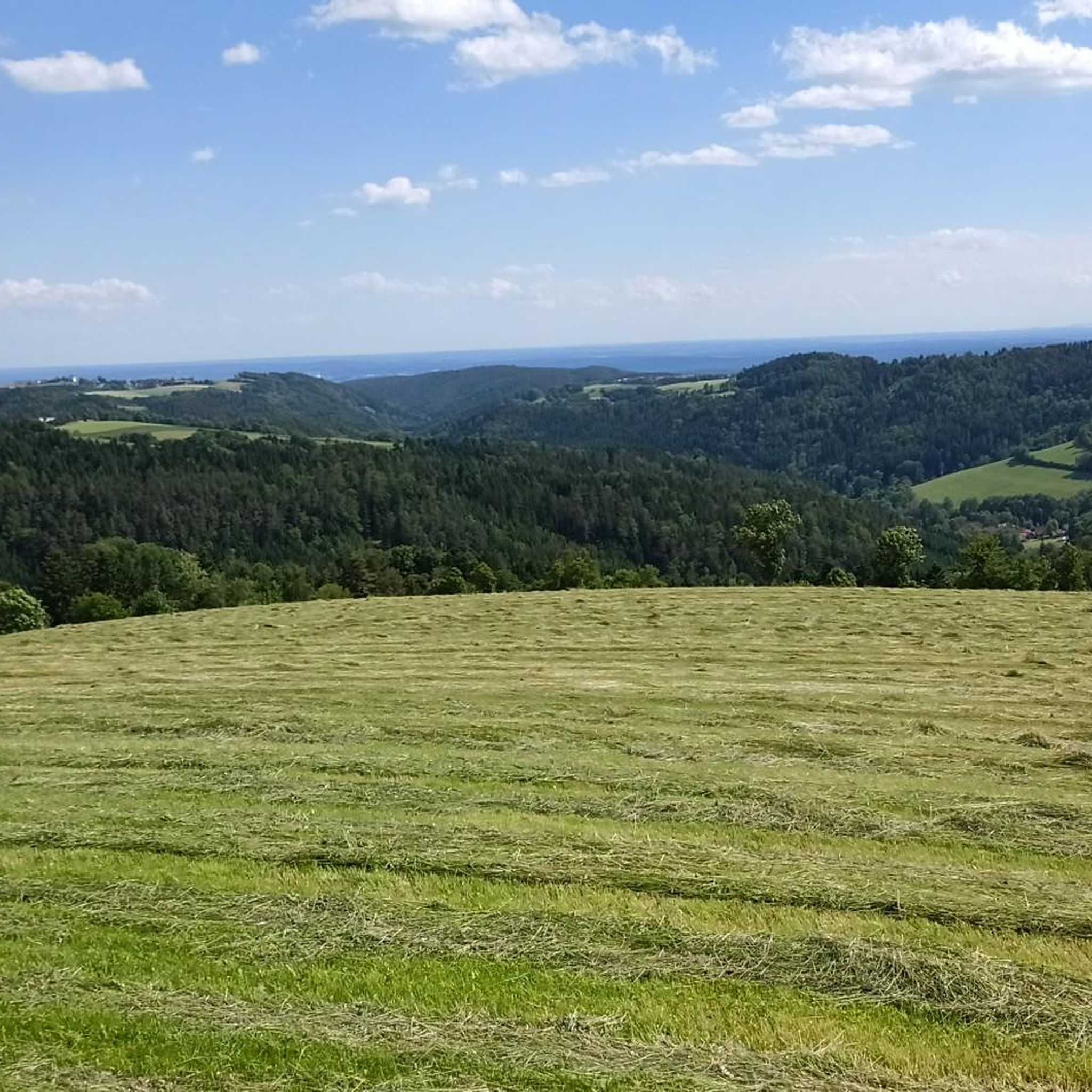
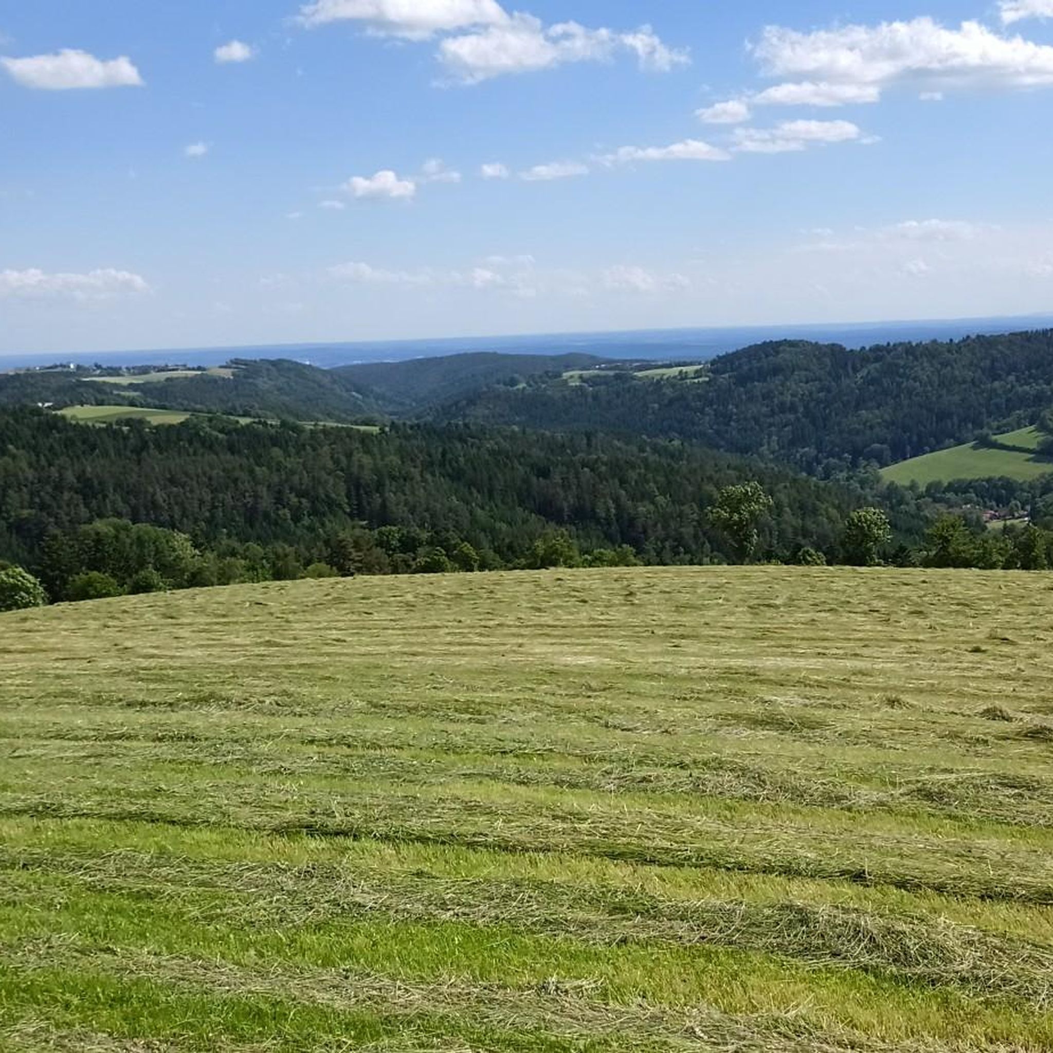
Mountain biking around Hochneukirchen-Gschaidt offers diverse terrain within the Bucklige Welt region of Lower Austria. The area features rolling hills, a mix of coniferous and deciduous forests, and elevations ranging from 500 to 900 meters. This landscape provides varied conditions for mountain bikers, from gentle paths to more challenging ascents. The region's natural features include expansive views and a serene environment.
Best mountain bike trails around Hochneukirchen-Gschaidt
- The most popular mountain bike trail is Hutwisch Root Trail – Hutwisch Observation Tower loop from Hochneukirchen-Gschaidt, a 15.7 miles (25.3 km) trail that takes 2 hours 20 minutes to complete. This route features significant elevation gain and leads towards the Hutwisch observation tower.
- Another top favourite among local mountain bikers is Church in Hochneukirchen – Schwarzer Graben loop from Hochneukirchen, a moderate 11.5 miles (18.5 km) path. This trail navigates through the local landscape, offering a mix of forest sections and open views.
- Local mountain bikers also love the Hutwisch Root Trail – Church in Hochneukirchen loop from Hattmannsdorf, a 13.4 miles (21.5 km) trail leading through varied terrain, often completed in about 2 hours 15 minutes.
- Mountain biking around Hochneukirchen-Gschaidt is defined by rolling hills, dense forests, and panoramic views from elevated points. The network offers options for different ability levels, from moderate rides to more difficult challenges.
- The routes in Hochneukirchen-Gschaidt are highly rated by the komoot community with an average score of 4.7 stars from over 200 reviews. More than 900 mountain bikers have used komoot to explore Hochneukirchen-Gschaidt's varied terrain.
Last updated: September 29, 2026
5.0
(4)
13
riders
Moderate mountain bike ride. Good fitness required. Advanced riding skills necessary.
4.9
(7)
18
riders
Moderate mountain bike ride. Good fitness required. Advanced riding skills necessary.

5.0
(1)
6
riders
38.8km
03:30
1,030m
1,030m
Hard mountain bike ride. Very good fitness required. Advanced riding skills necessary.
8
riders
Moderate mountain bike ride. Good fitness required. Suitable for all skill levels.
2
riders
Moderate mountain bike ride. Great for any fitness level. Advanced riding skills necessary.
Get access to more routes and recommendations from other explorers.
Already have an account?
Our route recommendations are based on thousands of hikes, rides, and runs completed by other people on komoot.
Start today with a free account
Your next adventure awaits.
Popular around Hochneukirchen-Gschaidt

Viennese Alpenbogen – Lower Austria's most beautiful peaks
Alpannonia – Crossing borders from Austria to Hungary
Hiking around Hochneukirchen-Gschaidt
Gravel biking around Hochneukirchen-Gschaidt
Running Trails around Hochneukirchen-Gschaidt
Cycling around Hochneukirchen-Gschaidt
Road Cycling Routes around Hochneukirchen-Gschaidt
Other adventures around Hochneukirchen-Gschaidt


Tips from the Community

A beautiful, new pumptrack located at the edge of the village, after the playground, at the edge of the forest.
1
0
Large wooden cross along the official mountain bike route.
1
0

High tower, lots of steps, great view.
2
0
Wind-prone rest area above Zöbersdorf.
0
0
The water tastes a bit strange, especially in the drinking bottle.
0
0


There is an observation tower on the 896-meter-high Hutwisch. From there you are another 22 meters higher and have a wonderful view over the hilly landscape of the Bucklige Welt.
1
0
Frequently Asked Questions
How many mountain bike trails are there around Hochneukirchen-Gschaidt?
There are over 25 mountain bike routes around Hochneukirchen-Gschaidt, offering a variety of experiences. These include 23 moderate trails and 5 difficult trails, catering to different skill levels.
What kind of terrain can I expect on mountain bike trails in Hochneukirchen-Gschaidt?
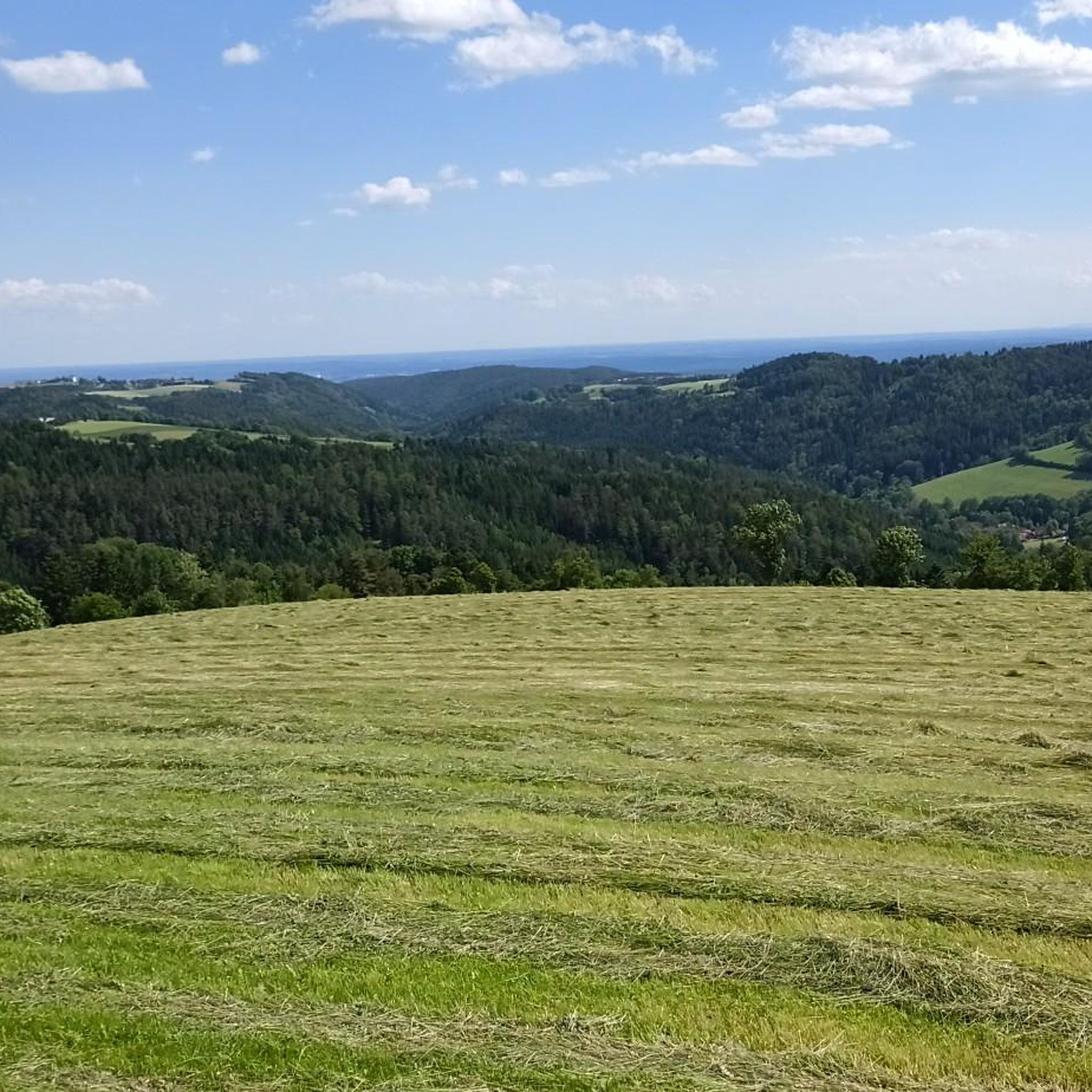
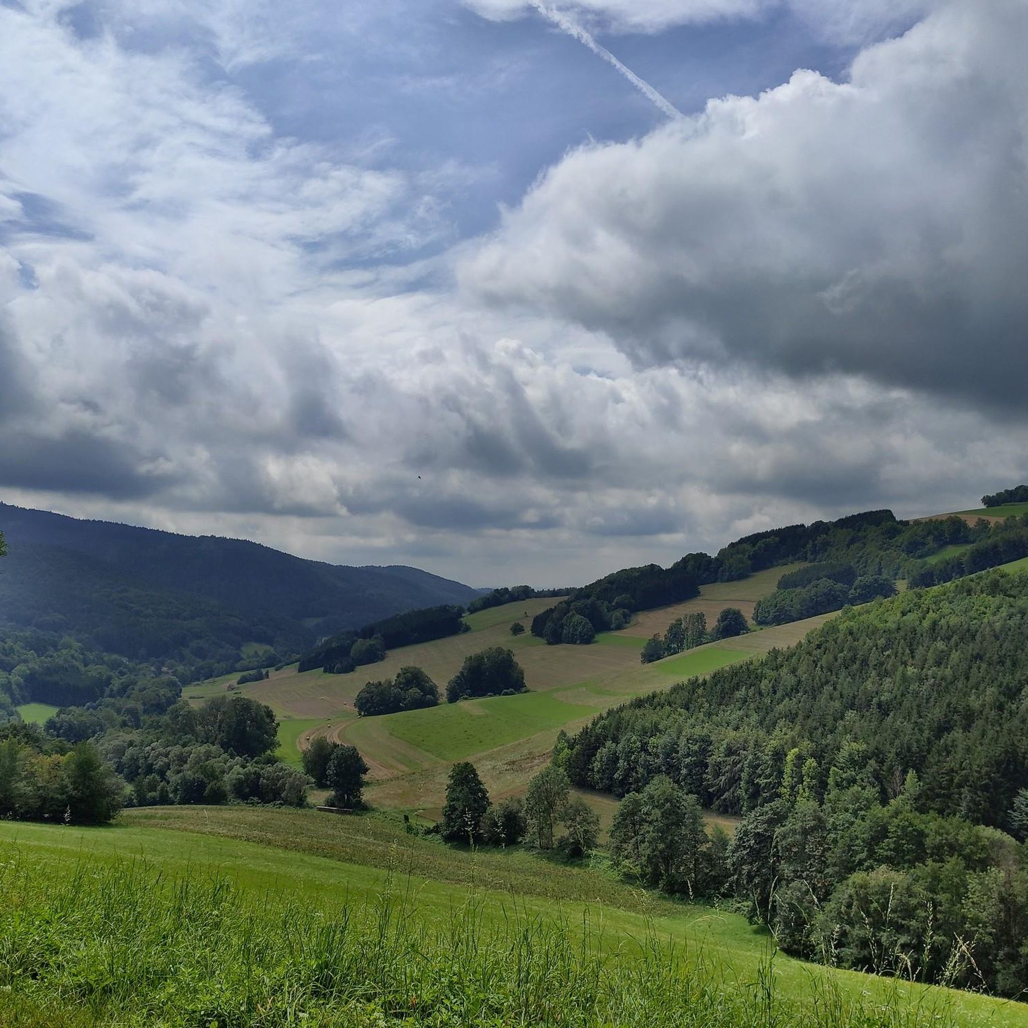
The region, part of the Bucklige Welt, features gently rolling hills, lush fields, and a mix of coniferous and deciduous forests. Trails range from moderate paths to more challenging sections with significant elevation changes, some even weaving through the Hohe Wand Nature Park with technical, rocky paths.
What is the best time of year for mountain biking in Hochneukirchen-Gschaidt?
The optimal time for mountain biking in Hochneukirchen-Gschaidt is from spring to autumn. During these seasons, the trails are most accessible, and the natural environment is in full bloom, offering pleasant weather and scenic views.
Are there any mountain bike trails with good viewpoints in Hochneukirchen-Gschaidt?
Yes, many trails offer panoramic views. A notable highlight is the Hutwisch Root Trail – Hutwisch Observation Tower loop from Hochneukirchen-Gschaidt, which leads towards the Hutwisch observation tower. From its summit, you can enjoy magnificent 360-degree views that can extend to Schneeberg and Neusiedlersee.
What do other mountain bikers enjoy most about the trails in Hochneukirchen-Gschaidt?
The mountain bike routes in Hochneukirchen-Gschaidt are highly rated by the komoot community, with an average score of 4.7 stars from over 200 reviews. Riders often praise the varied terrain, the mix of forest sections and open views, and the well-maintained paths that cater to different ability levels.
Are there any family-friendly mountain bike options or adventure trails nearby?
While the mountain bike trails themselves are generally moderate to difficult, the region offers other family-friendly outdoor activities. The Walderlebnisweg Gschaidt is a forest adventure trail with 20 themed areas designed for all ages to explore nature. There's also an adventure hiking trail for children leading to the Hutwischwarte.
Are there dedicated bike parks or technical sections for advanced riders?
Yes, for those seeking an adrenaline rush, the region features dedicated bike parks equipped with jumps, drops, and challenging technical elements. You can find options like Maltern Downhill and Wexl Trails Bugles, which allow riders to hone their skills.
Are there any circular mountain bike routes in Hochneukirchen-Gschaidt?
Yes, many of the trails are designed as loops. For example, the Church in Hochneukirchen – Schwarzer Graben loop from Hochneukirchen is a moderate 18.5 km path, and the Hutwisch Root Trail – Church in Hochneukirchen loop from Hattmannsdorf covers 21.5 km through varied terrain.
What natural features or landmarks can I see while mountain biking in the area?
Beyond the rolling hills and forests, you can encounter unique natural features. The historic Dreiländereck monument marks the meeting point of Lower Austria, Styria, and Burgenland. You might also pass by natural monuments such as Kurpark Bad Schönau or the Anna Spring Maltern.
Are there any longer, more challenging mountain bike routes for experienced riders?
Yes, for experienced riders looking for a challenge, there are more demanding routes. The Church in Hochneukirchen – View of Mönichkirchen loop from Hochneukirchen-Gschaidt is a difficult 38.8 km trail with over 1000 meters of elevation gain, offering a significant workout and expansive views.
Is it possible to mountain bike in Hochneukirchen-Gschaidt during winter?
While the optimal season is spring to autumn, winter mountain biking can be possible depending on snow conditions. However, trails may be less accessible or require specialized equipment. It's advisable to check local conditions before planning a winter ride.
Where can I find parking for mountain bike trails in Hochneukirchen-Gschaidt?
Parking is generally available in and around the market town of Hochneukirchen-Gschaidt, which serves as a common starting point for many trails. Specific parking information for individual trailheads may be found on the respective route pages.
Most popular routes around Hochneukirchen-Gschaidt
Most popular attractions around Hochneukirchen-Gschaidt

Get inspired with the komoot mobile app


Explore more
Browse the best MTB trails in other regions.
