The best walks and hikes in Teichgebiet Biehla-Weißig - Hatowa Krajina Běła-Wysoka
4.7
(1755)
6,451
hikers
576
hikes
Hiking in Teichgebiet Biehla-Weißig - Hatowa Krajina Běła-Wysoka offers a diverse lowland landscape characterized by extensive pond areas, forests, and wetlands. This region, part of the UNESCO Biosphere Reserve Upper Lusatian Heath and Pond Landscape, features key ponds like Weißiger Großteich and Biehlaer Großteich. The terrain includes alder and birch swamp forests, pine-spruce forests, and remnants of ancient oak forests, providing varied environments for outdoor activities. Geological features such as the Teufelsstein (Devil's Stone) and Teufelsberg (Devil's Mountain) also contribute…
Last updated: July 10, 2026
4.8
(73)
224
hikers
Moderate hike. Good fitness required. Easily-accessible paths. Suitable for all skill levels.
4.8
(4)
19
hikers
Easy hike. Great for any fitness level. Easily-accessible paths. Suitable for all skill levels.

Sign up for free
4.9
(24)
65
hikers
Easy hike. Great for any fitness level. Easily-accessible paths. Suitable for all skill levels.
5.0
(1)
5
hikers
Easy hike. Great for any fitness level. Easily-accessible paths. Suitable for all skill levels.
5
hikers
Easy hike. Great for any fitness level. Easily-accessible paths. Suitable for all skill levels.
Get access to more routes and recommendations from other explorers.
Sign up for free
Already have an account?
Our route recommendations are based on thousands of hikes, rides, and runs completed by other people on komoot.
Start today with a free account
Your next adventure awaits.
Login or Signup
Popular around Teichgebiet Biehla-Weißig - Hatowa Krajina Běła-Wysoka
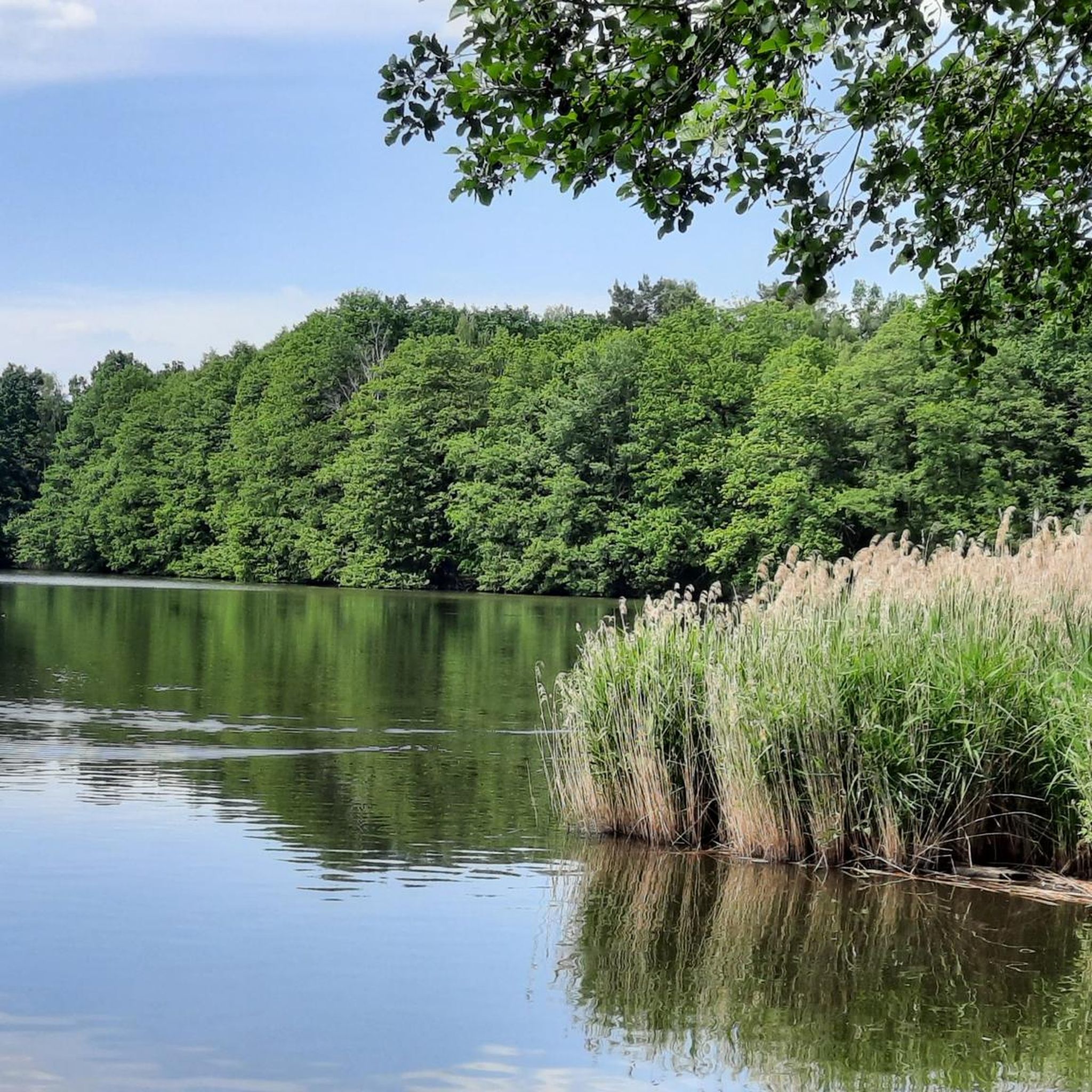
Cycling in Teichgebiet Biehla-Weißig - Hatowa Krajina Běła-Wysoka
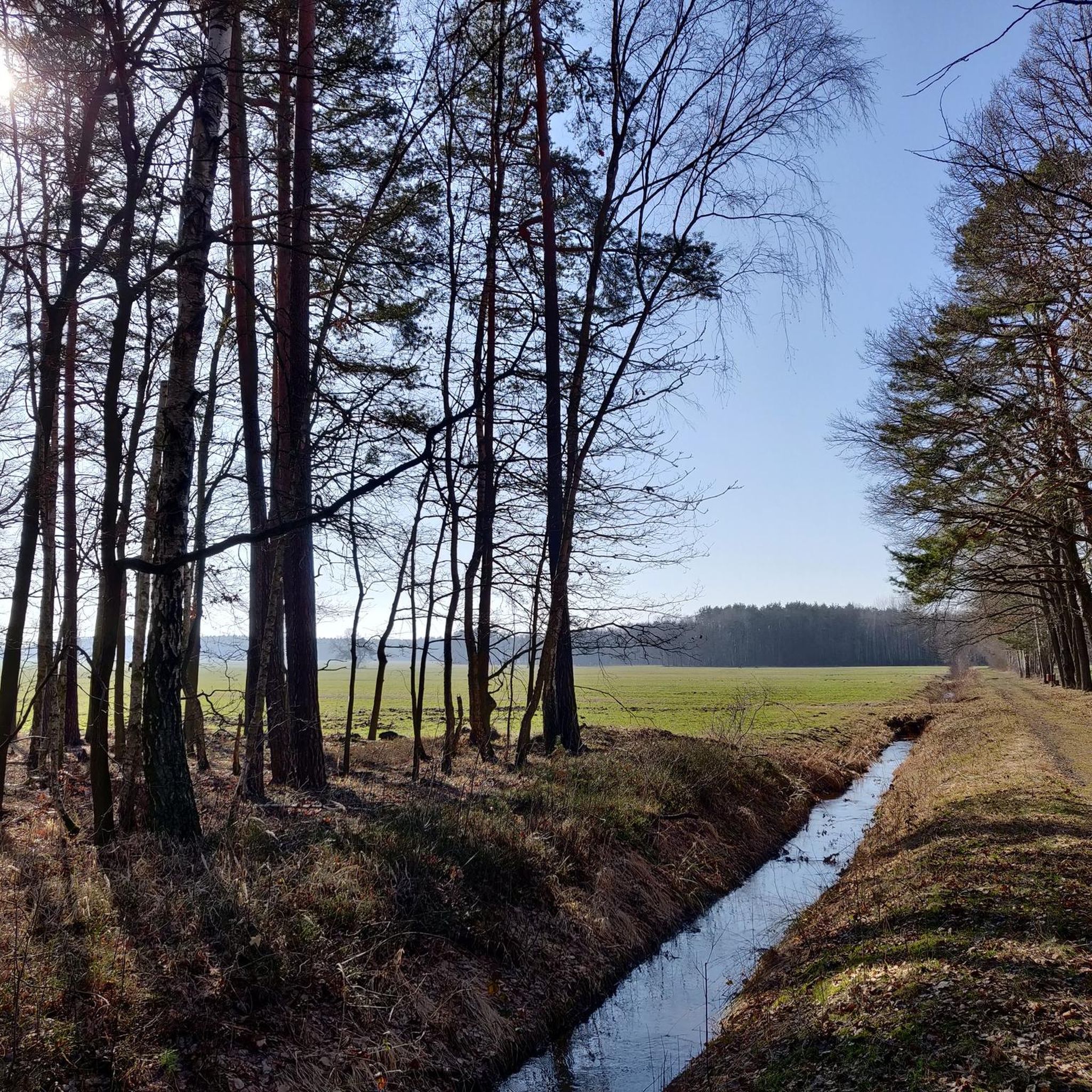
Running Trails in Teichgebiet Biehla-Weißig - Hatowa Krajina Běła-Wysoka
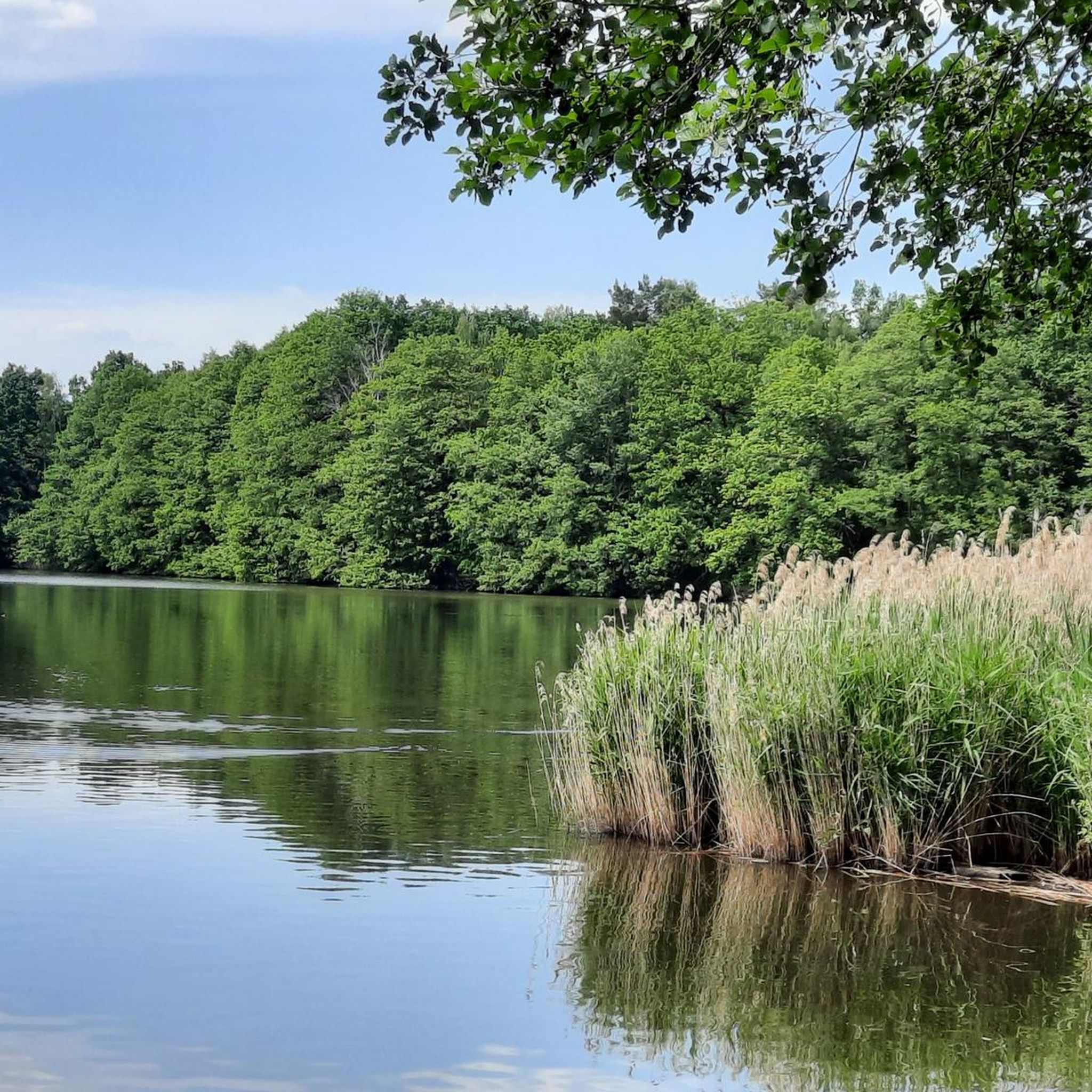
MTB Trails in Teichgebiet Biehla-Weißig - Hatowa Krajina Běła-Wysoka
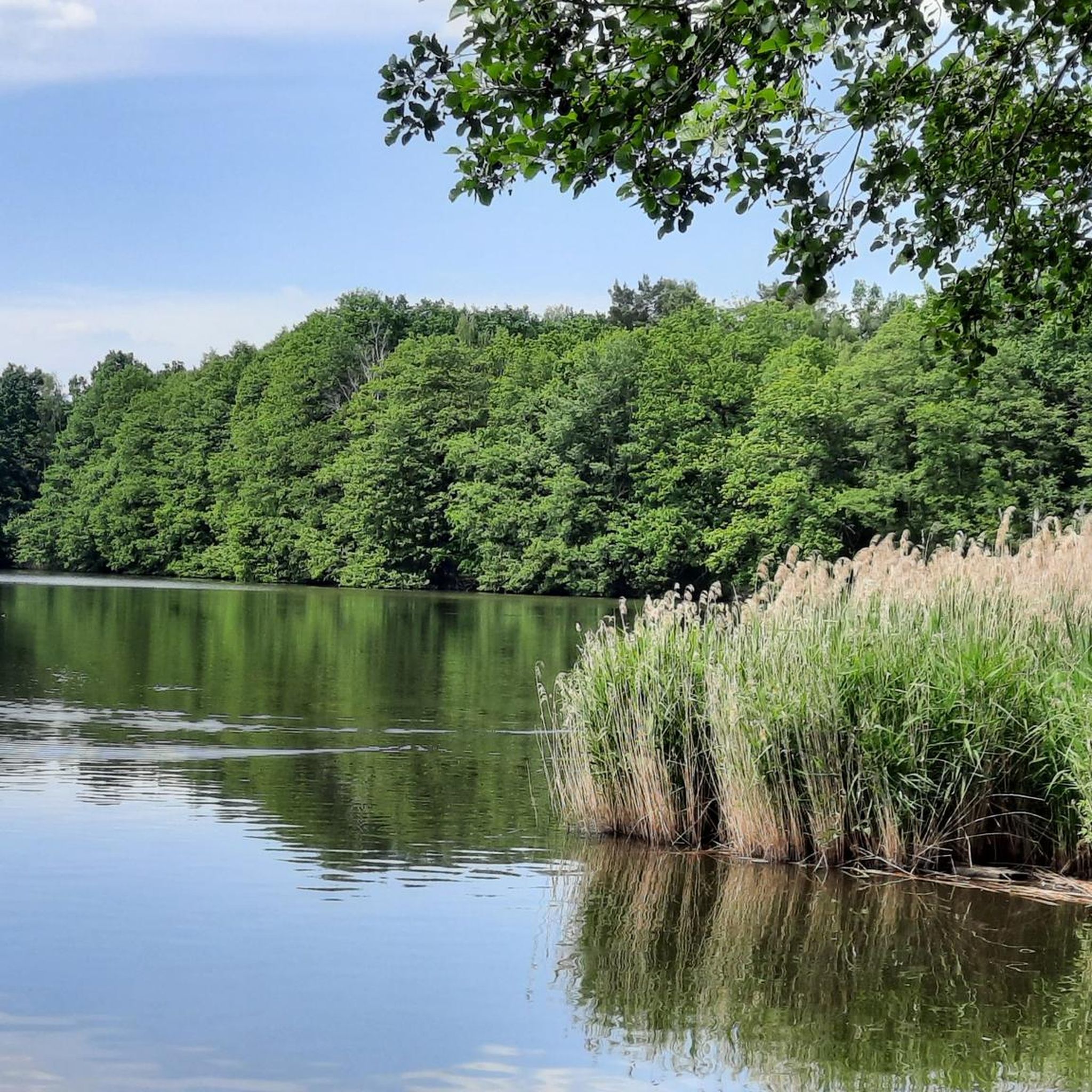
Road Cycling Routes in Teichgebiet Biehla-Weißig - Hatowa Krajina Běła-Wysoka

Gravel biking in Teichgebiet Biehla-Weißig - Hatowa Krajina Běła-Wysoka
Tips from the Community

A small, sometimes steep climb. Since cars rarely travel here, the small climb is easy to ride.
0
0

Especially in the warm season, this is a great opportunity 👕🩲👙 to shed old beliefs and wander through woods and fields in a light dress, a balm for body & soul. The Juraforum provides interesting background information on naturism: https://www.juraforum.de/lexikon/naturismus
0
0

A green hedge surrounds the gravel-covered area, creating a small, enclosed area at the center of which stands the War Memorial. The older section, constructed of light-colored stone, contains a plaque with the names of the fallen soldiers from the First World War, with a reclining figure above it. The more recent additions on either side, containing the list of victims of the Second World War, are clearly contrasted in design. Evergreen thujas (arborvitae) form the background.
2
0

Very nice, wonderfully located here, a great place to rest.
0
0

Short, crisp climb. Very nice views.
1
0

The name is right as it is really a large pond.
0
2

Please keep the area clean 👍🏻
0
0

You can take very nice reflections of trees, clouds and etc. The place is very nice for hobby photographers but also for normal photographers. You can take a lot of photos of the beautiful nature.
0
0
Frequently Asked Questions
How many hiking trails are available in Teichgebiet Biehla-Weißig - Hatowa Krajina Běła-Wysoka?
There are over 600 hiking routes available in Teichgebiet Biehla-Weißig - Hatowa Krajina Běła-Wysoka. These range from easy strolls around the ponds to more challenging paths through forests and wetlands.
What is the general difficulty level of hiking trails in this region?
The trails in Teichgebiet Biehla-Weißig cater to various fitness levels. You'll find a wide selection of easy routes, with over 350 options, perfect for relaxed walks. There are also more than 220 moderate trails and about 20 difficult routes for those seeking a greater challenge.
What natural features and landmarks can I expect to see while hiking?
The region is characterized by its extensive pond areas, including Weißiger Großteich and Biehlaer Großteich. You can also discover geological curiosities like the Teufelsstein (Devil's Stone) and the Teufelsberg (Devil's Mountain) with its flooded quarry. Historical sites such as Biehla Swamp Ringwork and Schloss Weißig are also notable points of interest.
Are there good opportunities for birdwatching in Teichgebiet Biehla-Weißig?
Yes, Teichgebiet Biehla-Weißig is a significant bird sanctuary and a haven for birdwatchers. It is home to 120 bird species, including grey herons, silver herons, cranes, white-tailed eagles, kingfishers, and reed warblers, especially around the numerous ponds.
Are there family-friendly hiking options in Teichgebiet Biehla-Weißig?
Absolutely. Many of the trails are suitable for families, offering easy walks with minimal elevation gain. Routes like the Biehla-Weißig Pond Area – Weißig Castle loop, which is 3.4 miles (5.5 km) long, are perfect for a family outing.
Are dogs allowed on the hiking trails?
The Teichgebiet Biehla-Weißig is generally dog-friendly, with many trails suitable for walks with your canine companion. However, as it is a nature reserve, always keep your dog on a leash, especially near wildlife and nesting areas, and respect local signage.
Are there circular hiking routes available?
Yes, the region offers numerous circular hiking routes, allowing you to start and end at the same point. Examples include the Biehla-Weißig Pond Area – Boathouse on the Great Pond, Biehla loop or the Biehla-Weißig Pond Area – Bench With a View of the Lake loop.
What is the best time of year to go hiking in Teichgebiet Biehla-Weißig?
The Teichgebiet Biehla-Weißig is beautiful year-round. Spring and autumn offer vibrant colors and active wildlife, while summer provides pleasant conditions for longer walks. Even in winter, the frozen ponds and snowy landscapes offer a unique hiking experience, though some paths might require more sure-footedness.
Is public transport available to reach the hiking areas?
While specific public transport connections directly to all trailheads might be limited, the region is accessible via local bus services to nearby villages like Weißig or Biehla. It's advisable to check local transport schedules for the most up-to-date information.
Where can I park my car when visiting the hiking trails?
Designated parking areas are typically available near popular starting points for trails, especially in or near the villages of Biehla and Weißig. Look for signs indicating hiker parking or use local maps to find suitable spots.
What do other hikers enjoy most about the trails here?
The area is highly rated by the komoot community, with an average score of 4.6 stars from over 1,600 reviews. Hikers often praise the tranquil pond landscapes, the rich biodiversity, and the well-maintained paths that offer a peaceful escape into nature.
Are there any specific viewpoints or scenic spots worth visiting?
Yes, the region offers several scenic spots. The Teufelsberg (Devil's Mountain) provides unique views over its flooded quarry. Additionally, you can find charming spots like the Picnic bench with a view of Bielaer Großteich, perfect for a break with a scenic outlook.
Most popular routes in Teichgebiet Biehla-Weißig - Hatowa Krajina Běła-Wysoka
Most popular attractions in Teichgebiet Biehla-Weißig - Hatowa Krajina Běła-Wysoka

Get inspired with the komoot mobile app


Explore more
Browse the best Hikes in other regions.
