The best road cycling routes in Uhlstädter Heide
4.8
(255)
3,250
riders
227
rides
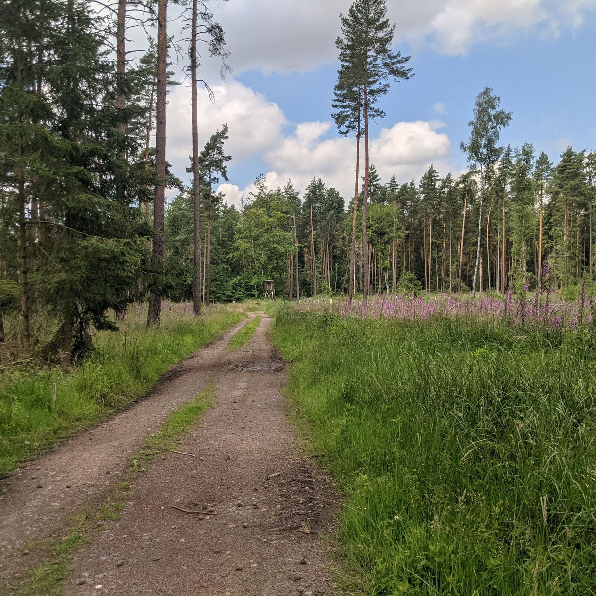
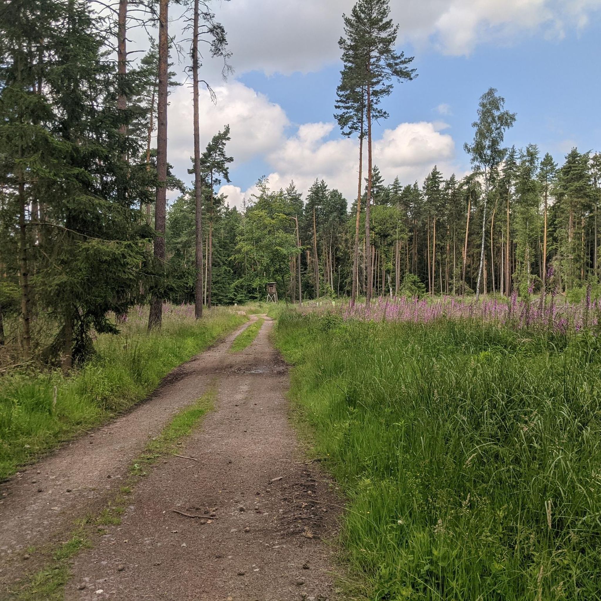
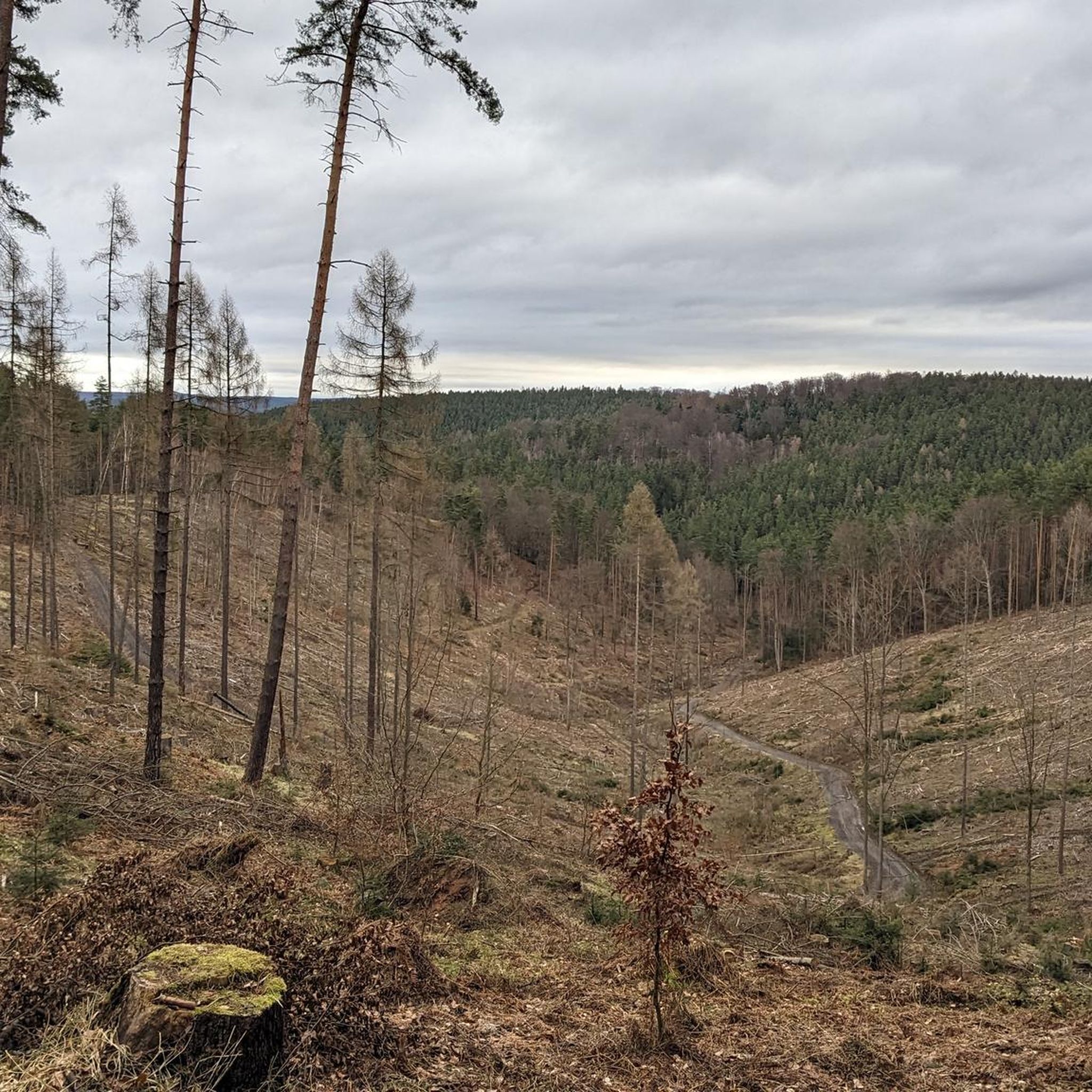
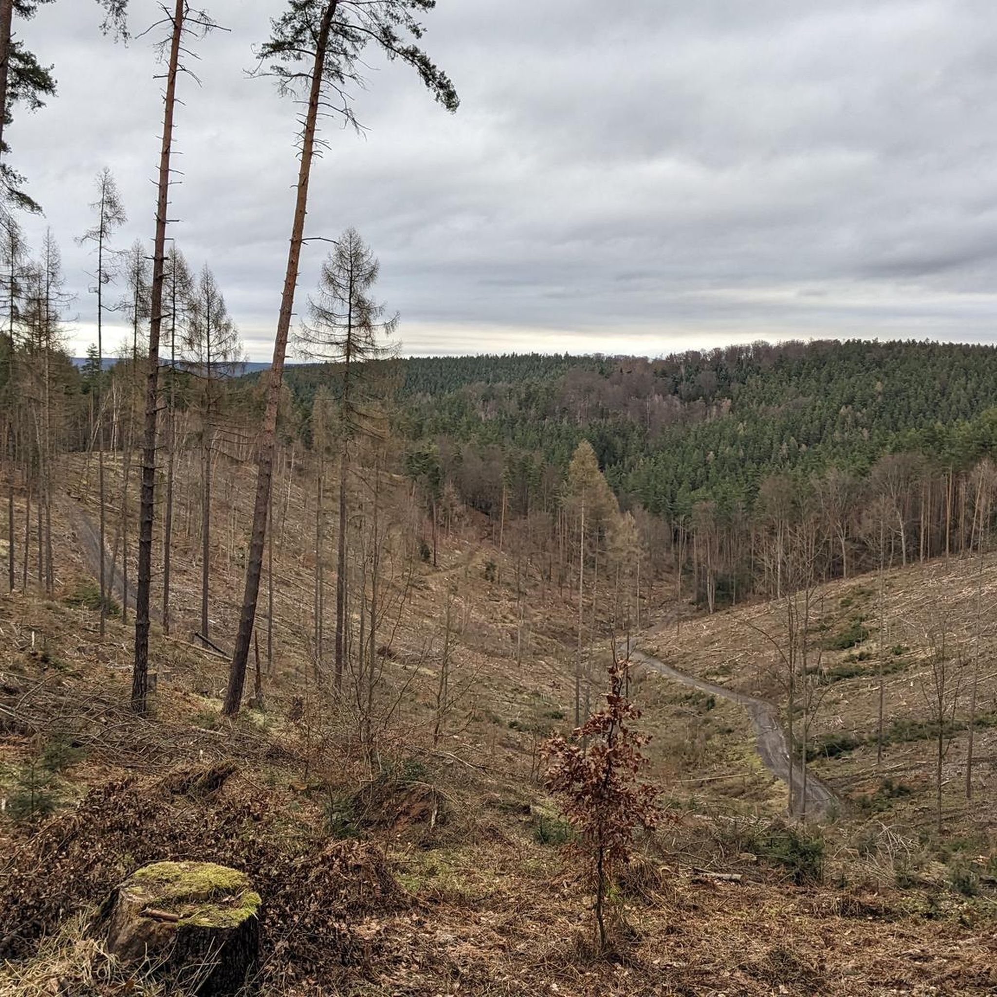
Road cycling routes in Uhlstädter Heide traverse a diverse landscape characterized by its connection to the Saale valley. The region features floodplain landscapes, wooded hills, and extensive forest areas within its 1082-hectare nature reserve. Cyclists encounter gentle, rural terrain with fields, meadows, and smaller woodlands, offering varied road cycling experiences.
Best road cycling routes in Uhlstädter Heide
- The most popular road cycling route is View of Weißenburg Castle – Weißenburg Castle loop from Weißbach, a 9.1 miles (14.6 km) trail that takes 42 minutes to complete. This easy route offers views of historical castle sites.
- Another top favourite among local road cyclists is View of Weißenburg Castle – Weißenburg Castle loop from Uhlstädt, an easy 14.1 miles (22.7 km) path. This route provides scenic views through the local landscape.
- Local road cyclists also love the Pößneck Market Square – View of the Orla River loop from Könitz (Thür), a 26.9 miles (43.4 km) trail leading through rural areas and past the Orla River, often completed in about 1 hour 58 minutes.
- Road cycling in Uhlstädter Heide is defined by the Saale valley, wooded hills, and extensive forest areas. The network offers options for easy, moderate, and difficult routes, catering to different ability levels.
- The routes in Uhlstädter Heide are highly rated by the komoot community with an average score of 4.8 stars from over 200 reviews. More than 3000 road cyclists have used komoot to explore Uhlstädter Heide's varied terrain.
Last updated: June 26, 2026
7
riders
14.6km
00:42
140m
140m
Easy road ride. Great for any fitness level. Mostly well-paved surfaces and easy to ride.
5.0
(3)
31
riders
22.5km
01:00
140m
140m
Easy road ride. Great for any fitness level. Mostly well-paved surfaces and easy to ride.

Sign up for free
26
riders
52.8km
02:23
480m
480m
Moderate road ride. Good fitness required. Mostly well-paved surfaces and easy to ride.
5.0
(2)
27
riders
43.2km
01:57
400m
400m
Moderate road ride. Good fitness required. Mostly well-paved surfaces and easy to ride.
5.0
(2)
27
riders
Moderate road ride. Good fitness required. Some segments of this route may be unpaved and difficult to ride.
Get access to more routes and recommendations from other explorers.
Sign up for free
Already have an account?
Our route recommendations are based on thousands of hikes, rides, and runs completed by other people on komoot.
Start today with a free account
Your next adventure awaits.
Login or Signup
Tips from the Community

Kulturpalast Unterwellenborn Memories of Old Times. A shame that it is visibly deteriorating more and more.
0
0

This route is recommended for cyclists and hikers. 🙋♂️
1
0

A beautifully restored castle complex, towering high above the town. Unfortunately, it's not accessible.
2
0


The Thuringian industrial pioneer Franz Itting, who had already built a power plant in Probstzella in 1909, commissioned the "Haus des Volkes" (People's House) in 1925. The socially minded entrepreneur wanted to create a cultural center for the region and enable "ordinary people" to enjoy high-quality cultural offerings. The building was constructed by the architects Alfred Arndt and Ernst Gebhardt as a hotel and multi-purpose hall by 1927. The interior was designed entirely by artists from the Bauhaus Dessau. After the Second World War, the building was used by the GDR as a customs office, and the event hall hosted various performances and celebrations. In 1970/1971, the building was expanded to include a restaurant, which reopened after renovation in 2005. In addition to the hotel, the building houses a theater and concert hall, as well as the central exhibition on the origins of the German Green Belt. A Franz Itting Museum has also been located here since 2014.
19
0

Lonely, quiet, beautiful place in the valley.
0
0

The banks of the Saale near Remschütz offer idyllic spots right by the water and invite you to take a relaxing break. A lovely place to take a break during a hike or bike ride. There is also a cosy artist café nearby.
1
0

Frequently Asked Questions
What kind of terrain can I expect when road cycling in Uhlstädter Heide?
Uhlstädter Heide offers a diverse landscape for road cyclists. You'll find routes traversing floodplain landscapes along the Saale valley, wooded hills, and extensive forest areas within the 1082-hectare nature reserve. The terrain generally features gentle, rural landscapes with fields, meadows, and smaller woodlands, providing varied experiences from largely flat to gently hilly, with some routes offering significant climbs for those seeking more demanding rides.
Are there road cycling routes suitable for beginners in Uhlstädter Heide?
Yes, Uhlstädter Heide has routes suitable for beginners. Out of over 230 road cycling routes, 35 are classified as easy. An example of an easy route is the View of Weißenburg Castle – Weißenburg Castle loop from Weißbach, which is 9.1 miles (14.6 km) long and offers scenic views of historical castle sites.
What are some challenging road cycling routes in the region?
For those seeking a challenge, Uhlstädter Heide offers 61 difficult road cycling routes. A notable challenging option is the Hohenwarte Dam – Hohenwarte Dam loop from Könitz (Thür), which covers 48.3 miles (77.7 km) and features significant elevation changes, including over 900 meters of ascent.
What attractions or landmarks can I see along the road cycling routes?
Many road cycling routes in Uhlstädter Heide pass by interesting attractions and natural features. You can explore historical sites like the Hangeiche (Gallows Oak), or enjoy the tranquility of the Krötenpfütze Pond. The region also features the Forest of the Wild Grazing Animals within the nature reserve, offering unique natural experiences.
Are there any circular road cycling routes in Uhlstädter Heide?
Yes, many road cycling routes in Uhlstädter Heide are designed as loops, allowing you to start and end at the same point. Examples include the View of Weißenburg Castle – Weißenburg Castle loop from Uhlstädt, an easy 14.1-mile (22.7 km) path, and the more moderate Pößneck Market Square – View of the Orla River loop from Könitz (Thür), which is 26.9 miles (43.4 km) long.
What is the best time of year to go road cycling in Uhlstädter Heide?
The Uhlstädter Heide is particularly appealing in spring and late summer when the heath is in vibrant bloom. These seasons offer pleasant weather conditions for cycling and allow you to experience the region's natural beauty at its peak. The well-developed bicycle tracks are accessible throughout much of the year, but spring and summer provide the most comfortable riding conditions.
Where can I find parking for road cycling routes in Uhlstädter Heide?
Many routes in Uhlstädter Heide are accessible from various towns and villages, offering potential parking options. For instance, the "Bike route around the Uhlstädter Heath" often starts from the Carl-Zeiss-Bridge in Saalfeld, a larger town where parking facilities are typically available. It's advisable to check specific starting points of your chosen route for detailed parking information.
Can I use public transport to access road cycling routes in Uhlstädter Heide?
Yes, public transport can be a convenient option for accessing and even shortening road cycling tours in Uhlstädter Heide. The region's routes, such as the "Bike route around the Uhlstädter Heath," are designed with flexibility in mind, featuring numerous train stations along the way. This allows cyclists to easily start, end, or adjust their tour using local train services.
What do other road cyclists say about the routes in Uhlstädter Heide?
The road cycling routes in Uhlstädter Heide are highly rated by the komoot community, with an average score of 4.8 stars from over 200 reviews. Cyclists often praise the diverse landscape, ranging from the scenic Saale valley to wooded hills, and the well-developed bicycle tracks that cater to various ability levels.
Are there any viewpoints offering panoramic views along the road cycling routes?
Yes, for impressive panoramic views, the Kulm lookout tower provides expansive vistas over the Saale and Schwarza valleys. While not directly on every road cycling route, it's a significant landmark in the region that can be incorporated into or visited near your cycling tour for breathtaking scenery.
What is the highest elevation I might encounter on a road cycling route in Uhlstädter Heide?
While many routes feature minimal elevation changes, some offer significant climbs. The highest elevation in the Uhlstädt-Kirchhasel municipality is "Die Wache" near Großkochberg, standing at 526 meters above sea level. Routes like the Hohenwarte Dam – Hohenwarte Dam loop from Könitz (Thür) feature over 900 meters of ascent, providing a substantial climbing experience.
Are there any specific towns or villages worth exploring while cycling in Uhlstädter Heide?
Absolutely. The region is dotted with charming towns and villages that enhance any cycling tour. You can cycle through Rudolstadt, a Baroque town home to Heidecksburg castle, or explore the historic old town of Pößneck. Uhlstädt, a former rafting town, also offers insights into timber rafting history at its museum.
Most popular routes in Uhlstädter Heide
Most popular attractions in Uhlstädter Heide

Get inspired with the komoot mobile app


Explore more
Browse the best Road cycling routes in other regions.
