Tschirner Und Nordhalbener Ködeltal Mit Mäusbeutel
Tschirner Und Nordhalbener Ködeltal Mit Mäusbeutel
Attractions and Places To See in Tschirner Und Nordhalbener Ködeltal Mit Mäusbeutel - Top 8
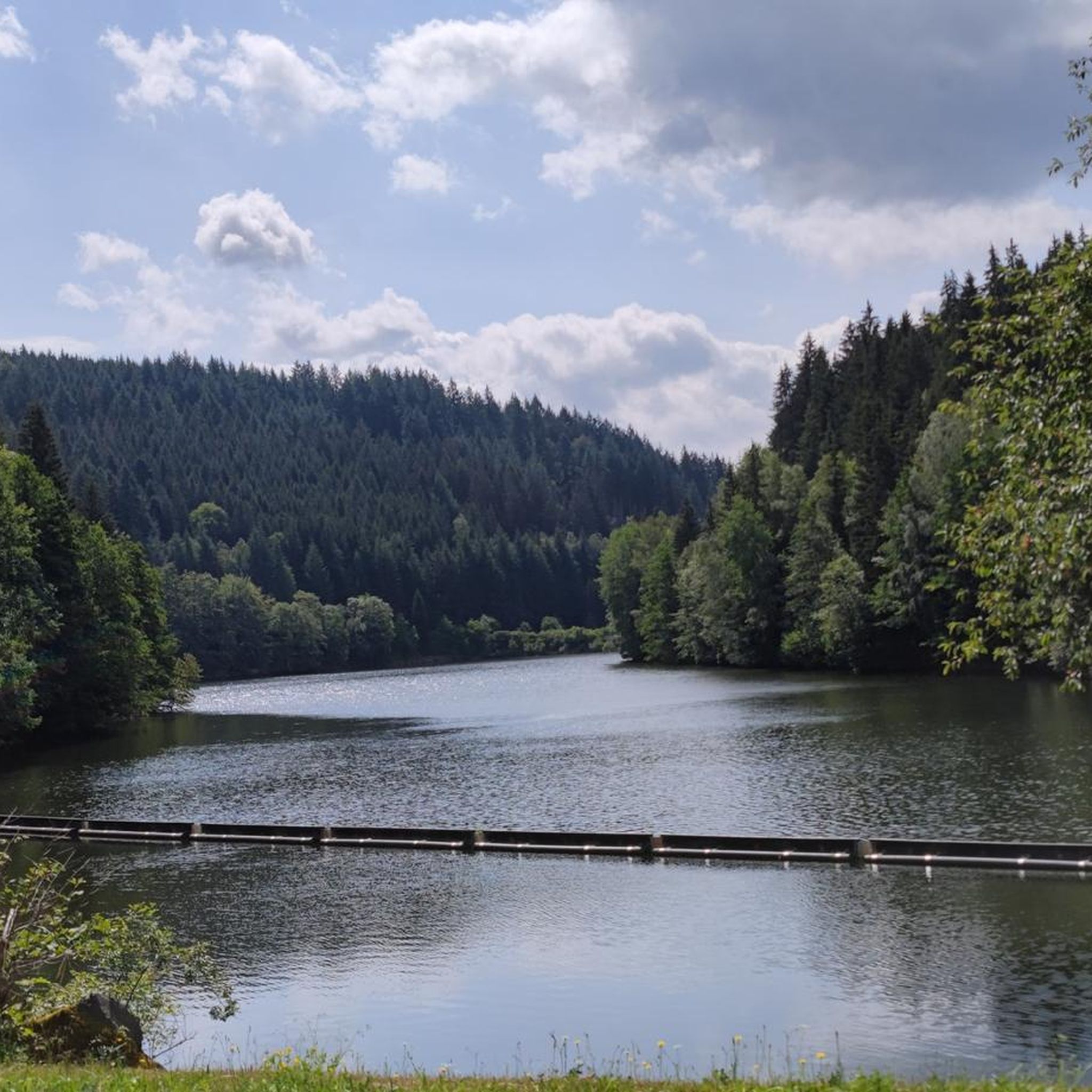
Best attractions and places to see in Tschirner Und Nordhalbener Ködeltal Mit Mäusbeutel include a significant nature reserve within the Frankenwald, known for its natural features and outdoor activities. The region is defined by the valleys of the Tschirner and Nordhalbener Ködel rivers, the Mäusbeutel forest district, and the Ködeltalsperre, a large drinking water dam. Historical raft ponds, such as the Alter Tschirner Pond, provide insight into past timber rafting practices. This area offers diverse natural habitats and opportunities for…
Last updated: July 5, 2026
Tschirner Ködel Ford
Highlight • River
Translated by Google •
Tip by

Alter Tschirner Pond
Highlight • Lake
Translated by Google •
Tip by

Sign up now to discover places like this
Get recommendations on the best single tracks, peaks, & plenty of other exciting outdoor places.
Sign up for free
Site of the Fichta Mill
Highlight • Historical Site
Translated by Google •
Tip by

Bergloch Nordhalben
Highlight • Cave
Translated by Google •
Tip by

Rest shelter at the Tschirner Ködel Reservoir
Highlight • Mountain Hut
Translated by Google •
Tip by

Sign up for free to discover even more attractions in Tschirner Und Nordhalbener Ködeltal Mit Mäusbeutel.
Sign up for free
Already have an account?
Start today with a free account
Your next adventure awaits.
Login or Signup
Popular around Tschirner Und Nordhalbener Ködeltal Mit Mäusbeutel
Hiking in Tschirner Und Nordhalbener Ködeltal Mit Mäusbeutel
Cycling in Tschirner Und Nordhalbener Ködeltal Mit Mäusbeutel
Running Trails in Tschirner Und Nordhalbener Ködeltal Mit Mäusbeutel
MTB Trails in Tschirner Und Nordhalbener Ködeltal Mit Mäusbeutel
Road Cycling Routes in Tschirner Und Nordhalbener Ködeltal Mit Mäusbeutel
Tips from the Community

MTB moderate descent to the ford 👍🚵🙂
0
0
Be careful when driving through the stones, they are very slippery 😲
0
0

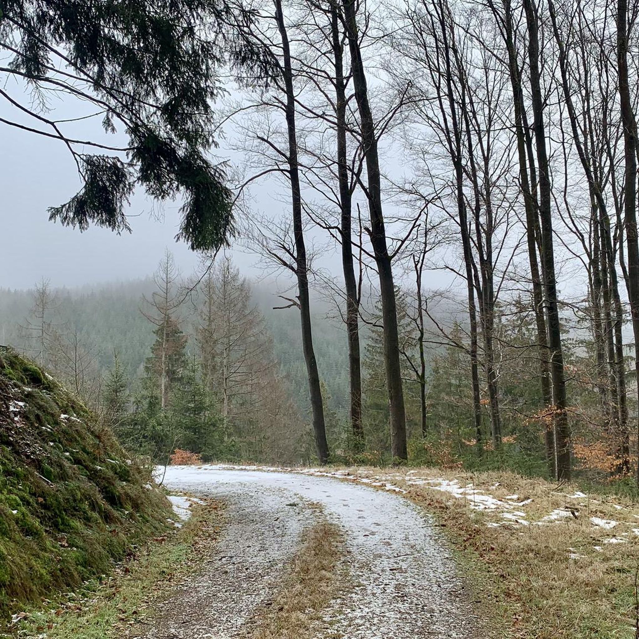
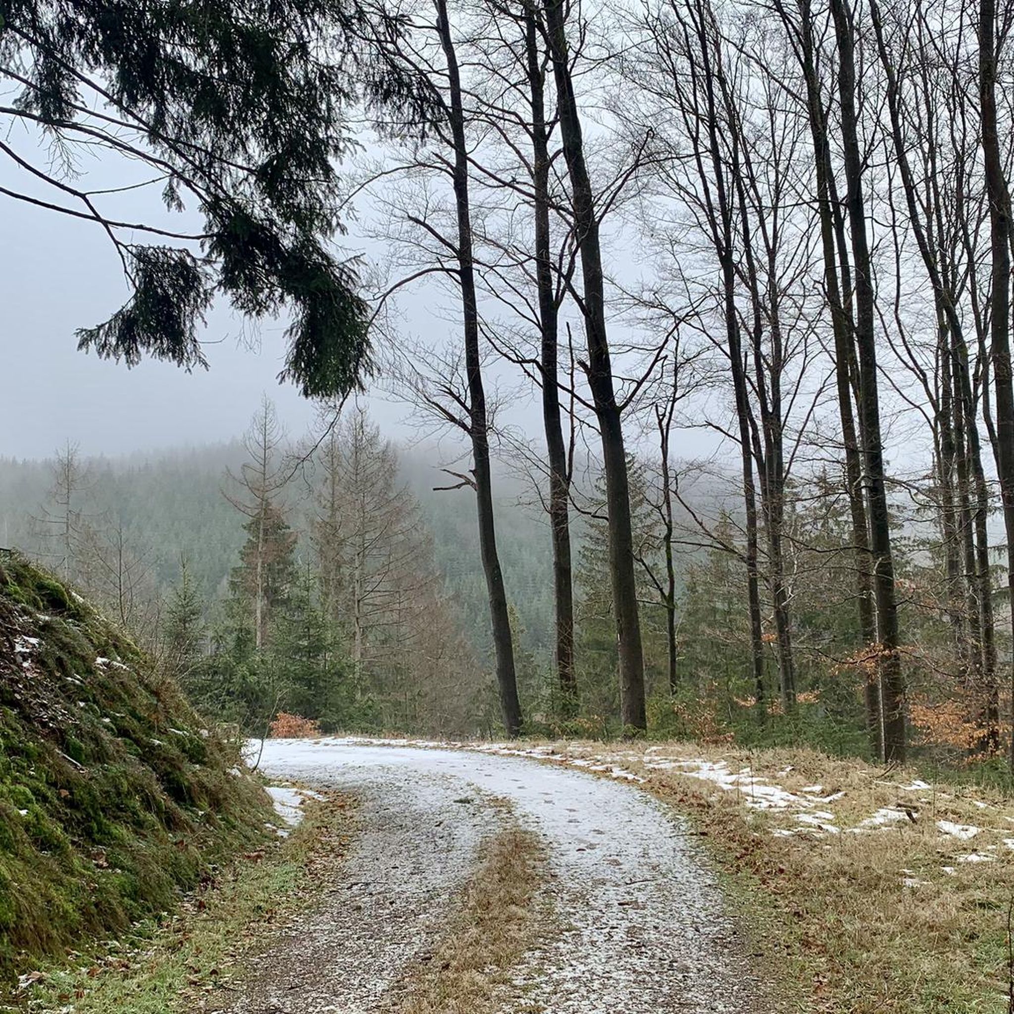
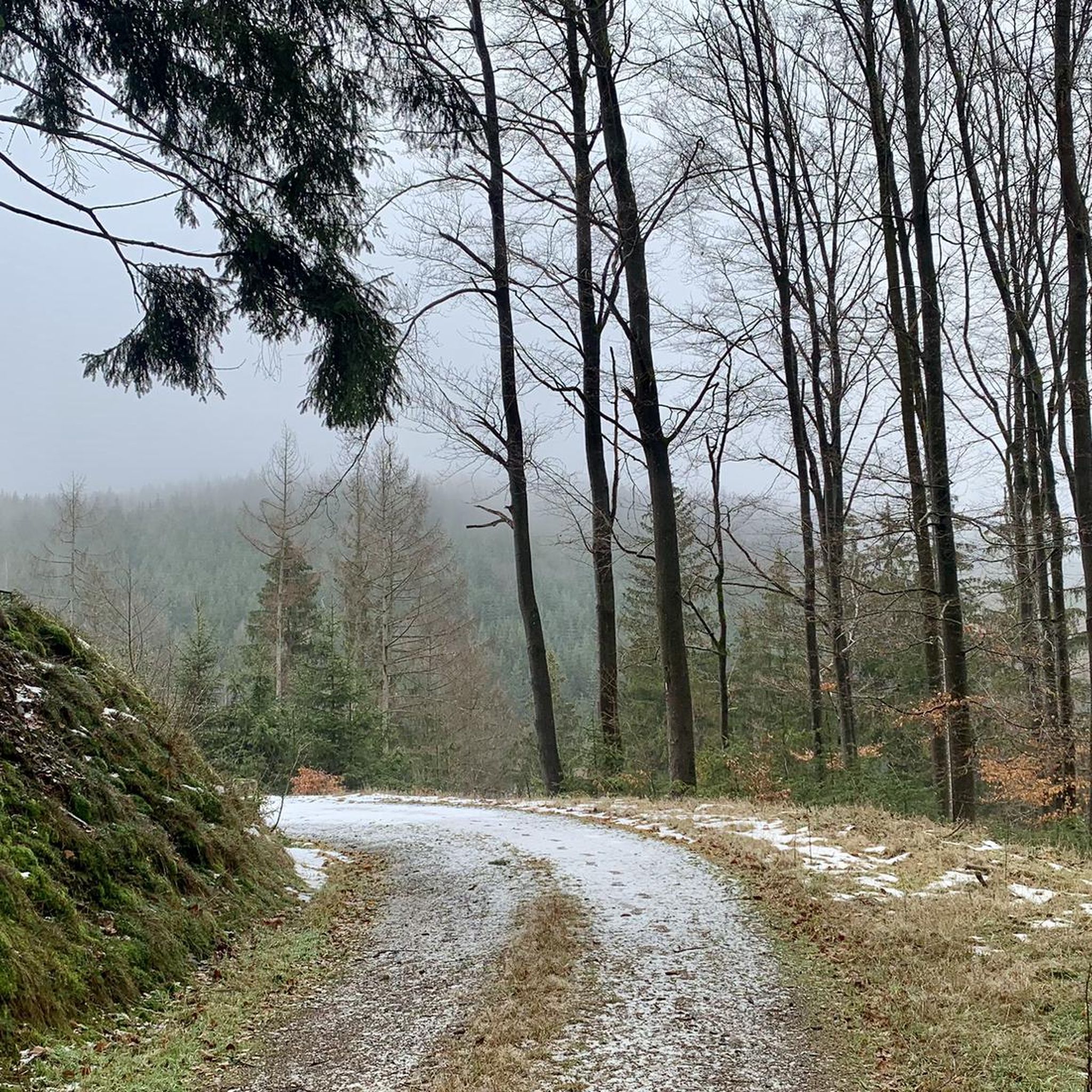
Great. A small frozen idyll in winter. Located near the former inner-German border.
1
0

If the water level is too high, the jetty remains. After the rains of the last few days, there was plenty of water again, but it was still fine to ride the bike.
0
0
Once one of the most remote hydropower cutting mills in the North Halben area. The property could only be reached by carts via a service road along the Ködel to Mauthaus. Broken down after a fire in 1971, it was no longer allowed to be rebuilt due to water protection regulations. In the meantime, an ecologically important and beautiful alluvial forest is growing at this point.
1
0

There is also a way over it if you don't want to drive through the river. A steel bridge leads on.
1
0

There is a solid bridge for hikers.
0
0
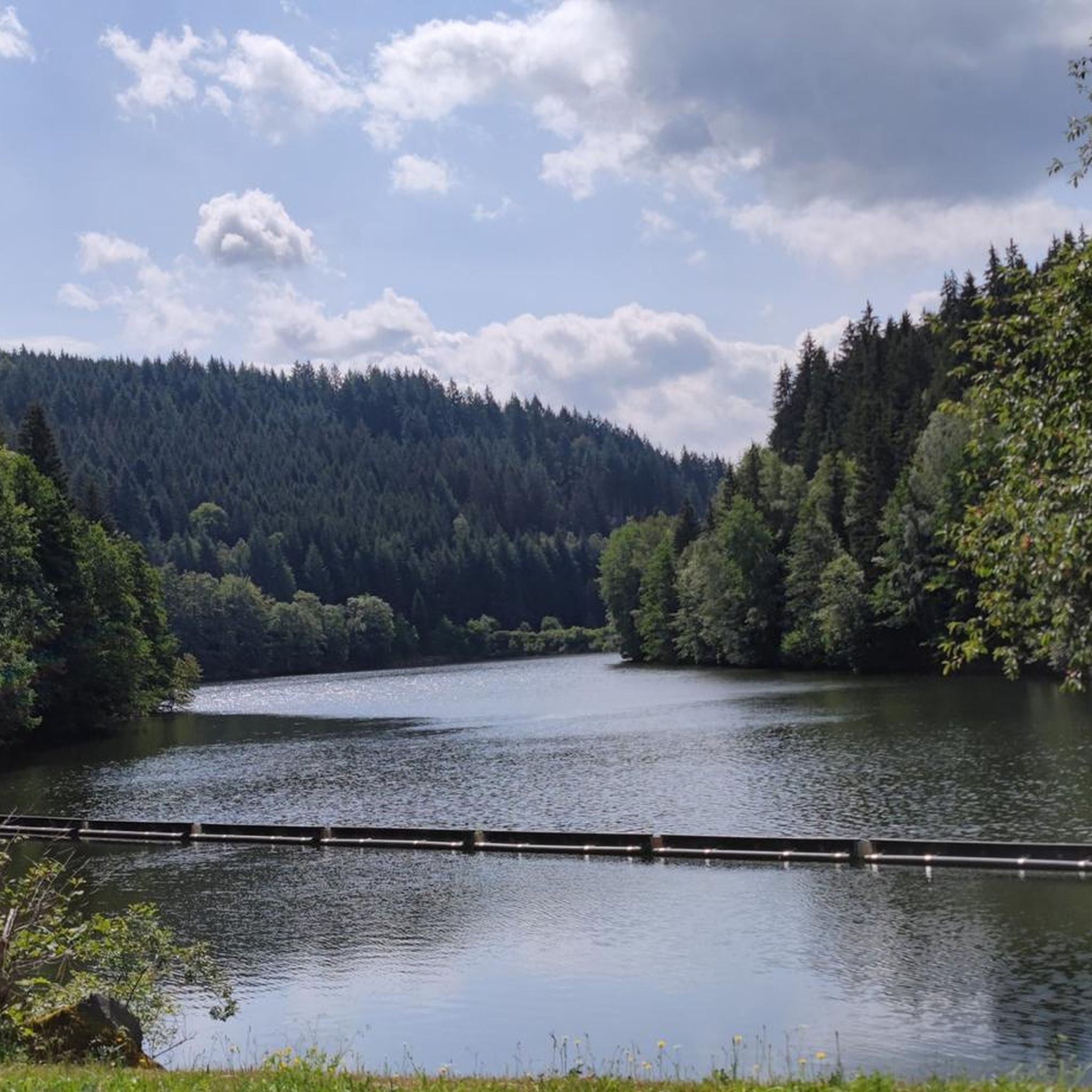
Small but very solid and dry rest hut with bench and table at the upper end of the Ködeltalsperre in the Tschirner Ködel area. From here a forest path leads up to Hubertushöhe and another along the Tschirner Ködel to the Rennsteig. Coordinates 50.35904, 11.48357 Height 464 m
1
0
Frequently Asked Questions
What natural features can I explore in Tschirner Und Nordhalbener Ködeltal Mit Mäusbeutel?
The region is a significant nature reserve within the Frankenwald, offering a wealth of natural attractions. You can explore the valleys of the Tschirner and Nordhalbener Ködel rivers, the extensive Mäusbeutel forest district, and the impressive Ködeltalsperre (Mauthaus Dam), often called the "Frankenwaldfjord." The area also features diverse habitats like flat moors, borst grass lawns, and wet grasslands.
What is the Ködeltalsperre (Mauthaus Dam) and what activities can I do there?
The Ködeltalsperre is Bavaria's first and highest drinking water dam, constructed between 1968 and 1972. It's a major highlight, offering a scenic 11.5 km asphalt path that encircles the reservoir, perfect for hiking, cycling, or inline skating. You can also enjoy views of the dam's impressive 60-meter high wall from the "Aussichtspunkt Ködelblick."
Are there hiking trails suitable for different fitness levels in the region?
Yes, the region is a paradise for hikers with numerous well-maintained trails. You can find routes ranging from easy to difficult. For example, the "Dead end – Reußenhieb Junction loop from Tschirn" is an easy 4.9 km hike, while the "Gareis Chapel – Grümpel rafting pond loop from Birnbaum" is a moderate 15.3 km trail. Explore more options on our Hiking in Tschirner Und Nordhalbener Ködeltal Mit Mäusbeutel guide.
Can I cycle around the Ködeltalsperre?
Absolutely! A scenic 11.5 km asphalt path encircles the Ködeltalsperre reservoir, making it ideal for cycling. It's a popular route for enjoying the beautiful "Frankenwaldfjord" landscape.
Are there any historical sites to visit in Tschirner Und Nordhalbener Ködeltal Mit Mäusbeutel?
Yes, the region has historical significance. The Alter Tschirner Pond is a historical lake and natural monument, representing relics of 16th-century timber rafting. You can also visit the Site of the Fichta Mill, a former hydropower cutting mill, and the Bergloch Nordhalben, a large cave with a mysterious past.
Are there family-friendly attractions or activities in the area?
Yes, the region offers options for families. The Alter Tschirner Pond is considered family-friendly and provides a glimpse into historical timber rafting. The Rest shelter at the Tschirner Ködel Reservoir is also a good spot for families to pause and enjoy the surroundings.
What is the best time to visit Tschirner Und Nordhalbener Ködeltal Mit Mäusbeutel?
The region is excellent for outdoor activities throughout the warmer months, making spring, summer, and autumn ideal for hiking and cycling. In winter, the Alter Tschirner Pond can transform into a frozen idyll, offering a unique experience for winter walks.
How long does it take to walk around the Ködeltalsperre?
The path encircling the Ködeltalsperre is 11.5 km long. Depending on your pace, a full walk around the reservoir can take approximately 2.5 to 3.5 hours.
Where can I find a place to rest or shelter during my visit?
You can find a small but solid Rest shelter at the Tschirner Ködel Reservoir. It provides a dry spot with a bench and table at the upper end of the Ködeltalsperre, perfect for a break.
What is the Tschirner Ködel Ford?
The Tschirner Ködel Ford is a notable river crossing. While it offers a cool water passage, it can be slippery. For those who prefer to stay dry, a steel bridge is conveniently located nearby for an alternative crossing.
Are the trails in Tschirner Und Nordhalbener Ködeltal Mit Mäusbeutel dog-friendly?
Generally, nature reserves like Tschirner Und Nordhalbener Ködeltal Mit Mäusbeutel welcome dogs on trails, especially when kept on a leash. It's always a good idea to check local signage for specific regulations regarding pets in certain areas or protected habitats.
Are there opportunities for running in the area?
Yes, the region offers several running trails. You can find routes like the "Ködel Reservoir – Trail junction loop from Nordhalben" (9.2 km, moderate) or the "Ködel Dam – Ködeltalsperre — Southern End loop from Nurn" (6.1 km, moderate). More options are available in our Running Trails in Tschirner Und Nordhalbener Ködeltal Mit Mäusbeutel guide.
Most popular routes in Tschirner Und Nordhalbener Ködeltal Mit Mäusbeutel

Get inspired with the komoot mobile app


Explore more
Still not found the Highlight you’re looking for? See guides of the top attractions in other regions:
