The best running trails in Fürstenauer Heide Und Grenzwiesen
4.8
(90)
1,295
runners
119
runs
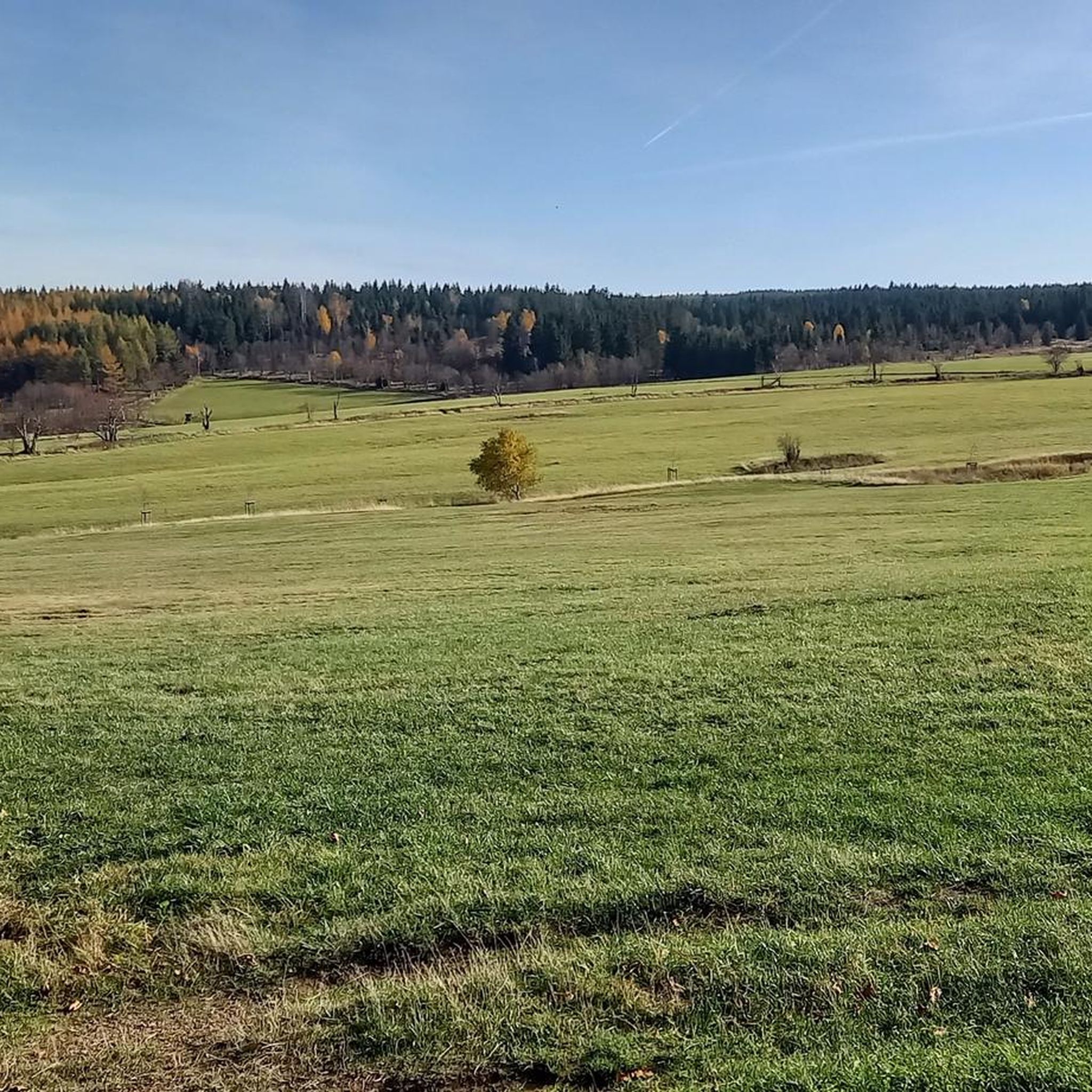
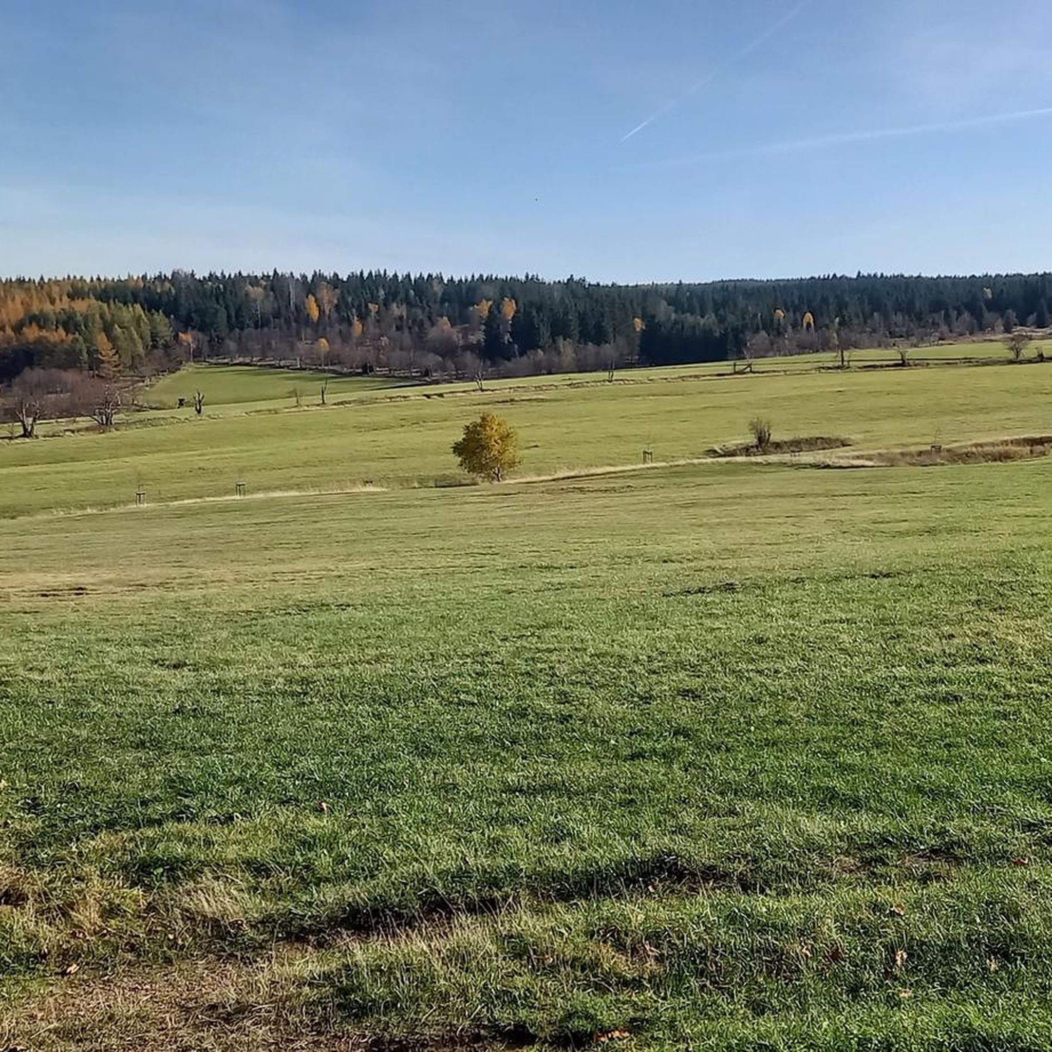
Jogging routes in Fürstenauer Heide Und Grenzwiesen traverse a diverse landscape characterized by expansive grasslands, high-plateau stone ridges of the Eastern Ore Mountains, and unique moor areas. Natural stream valleys and wet grasslands, such as those around the Kalter Brunnen, contribute to the varied terrain. The region offers a mix of flat and undulating paths, with some routes featuring significant elevation gains. This designated nature reserve provides a well-preserved environment for outdoor activities.
Best jogging routes in Fürstenauer Heide Und…
Last updated: May 28, 2026
6
runners
7.92km
00:52
150m
150m
Moderate run. Good fitness required. Mostly paved surfaces. Suitable for all skill levels.
5.0
(3)
18
runners
6.96km
00:50
190m
190m
Moderate run. Good fitness required. Mostly paved surfaces. Suitable for all skill levels.

Sign up for free
5.0
(2)
10
runners
9.98km
01:07
190m
190m
Moderate run. Good fitness required. Mostly paved surfaces. Suitable for all skill levels.
5.0
(2)
8
runners
6.27km
00:41
70m
70m
Moderate run. Good fitness required. Mostly paved surfaces. Suitable for all skill levels.
4
runners
14.7km
01:39
320m
320m
Hard run. Very good fitness required. Mostly paved surfaces. Suitable for all skill levels.
Get access to more routes and recommendations from other explorers.
Sign up for free
Already have an account?
Our route recommendations are based on thousands of hikes, rides, and runs completed by other people on komoot.
Start today with a free account
Your next adventure awaits.
Login or Signup
Tips from the Community


The highest café in the Eastern Ore Mountains – beautifully decorated and lovingly furnished, and of course delicious. A visit is well worth it.
0
0
old bobsleigh track through the middle of the forest - walls still recognizable.
0
0
Very cute, you sit nicely protected
0
0

Opens at 11am
0
0

This is a checkpoint on the Stoneman Miriquidi Road circuit.
0
0

Unfortunately, the beautiful little chapel was closed. But directly opposite is a great rest area as you can see in the photo with a view of the little chapel.
0
0

Comfortable hike along the pastures at an altitude of about 700 m.
0
0
Frequently Asked Questions
How many running routes are available in Fürstenauer Heide Und Grenzwiesen?
There are over 120 running routes in Fürstenauer Heide Und Grenzwiesen, offering a wide variety of options for different fitness levels and preferences.
What kind of terrain can I expect when running in Fürstenauer Heide Und Grenzwiesen?
The region features diverse terrain, including expansive grasslands, high-plateau stone ridges of the Eastern Ore Mountains, unique moor areas, and natural stream valleys. You'll find a mix of flat paths and undulating sections, with some routes offering significant elevation gains for a more challenging run.
Are there running routes suitable for beginners or those seeking an easier run?
Yes, Fürstenauer Heide Und Grenzwiesen offers several easy running routes. Approximately 7 routes are categorized as easy, providing gentle paths through the scenic landscape.
What are the difficulty levels of the running routes in this area?
The running routes in Fürstenauer Heide Und Grenzwiesen range from easy to difficult. You'll find about 7 easy routes, 81 moderate routes, and 37 more challenging routes, ensuring options for all experience levels.
What do other runners say about the trails in Fürstenauer Heide Und Grenzwiesen?
The running routes in Fürstenauer Heide Und Grenzwiesen are highly rated by the komoot community, with an average score of 4.7 stars from over 80 reviews. More than 1300 runners have explored the varied terrain, often praising the well-maintained paths and the natural beauty of the moor and meadow ecosystems.
Are there any circular running routes in Fürstenauer Heide Und Grenzwiesen?
Many of the running routes in the area are circular, allowing you to start and finish at the same point. For example, the Traugott Hill loop from Fürstenau is a popular moderate circular path.
What natural features or landmarks can I see along the running routes?
While running, you can enjoy wildflower meadows, unique moor landscapes with plants like sundew and cotton grass, and natural stream valleys. Notable points include Traugott Hill, which offers varied terrain, and the Mückentürmchen (Komáří Vížka) – St. Wolfgang Chapel loop from Fürstenau, known for panoramic views of the Eastern Ore Mountains.
Are there any routes that offer panoramic views?
Yes, several routes provide beautiful panoramic views. The Mückentürmchen (Komáří Vížka) – St. Wolfgang Chapel loop from Fürstenau is particularly noted for its vistas of the Eastern Ore Mountains. Elevated ridges and picnic spots throughout the area also offer inspiring backdrops.
Are the running trails in Fürstenauer Heide Und Grenzwiesen suitable for families?
The region offers trails with varying difficulty levels, including easy and moderate options, making it accessible for families. The diverse landscapes and natural features provide an engaging environment for all ages to enjoy outdoor activity.
Can I bring my dog on the running routes?
Fürstenauer Heide Und Grenzwiesen is a nature reserve, and generally, dogs are welcome on trails when kept on a leash. It's always advisable to check local signage for specific regulations in certain protected areas or during nesting seasons.
Are there any routes that pass by water features?
Yes, the landscape is enriched by natural streams and wet grasslands, such as those around the Kalter Brunnen, Hüttenbach, and Erdbach. These features structure a varied environment and can be enjoyed along many running paths.
Is there a route that includes historical or cultural points of interest?
The Anton Günther Monument – Rest area below the summit loop from Geising passes by the Anton Günther Monument, which serves as a resting point and a cultural landmark. The area also has a history of tin mining, adding a cultural layer to the natural exploration.
What is the best time of year to go running in Fürstenauer Heide Und Grenzwiesen?
The diverse landscapes, including wildflower meadows and moor areas, offer beauty throughout the year. Spring and summer showcase vibrant flora, while autumn brings colorful foliage. Winter running is also possible, but be prepared for colder conditions and potentially snowy or icy paths.
Most popular routes in Fürstenauer Heide Und Grenzwiesen
Most popular attractions in Fürstenauer Heide Und Grenzwiesen

Get inspired with the komoot mobile app


Explore more
Browse the best Running Trails & Routes in other regions.
