The best walks and hikes in Fürstenauer Heide Und Grenzwiesen
4.6
(7087)
26,692
hikers
23
hikes
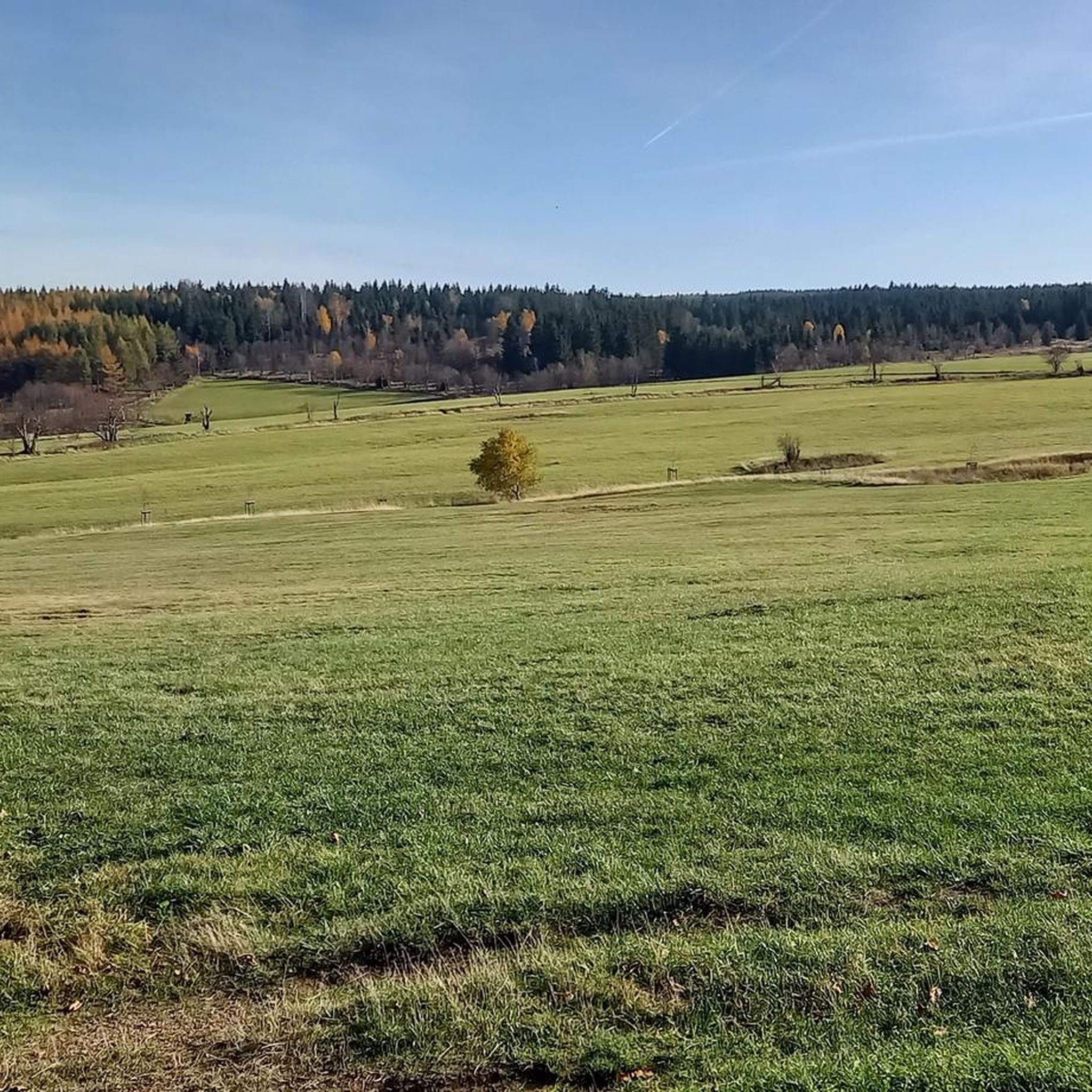
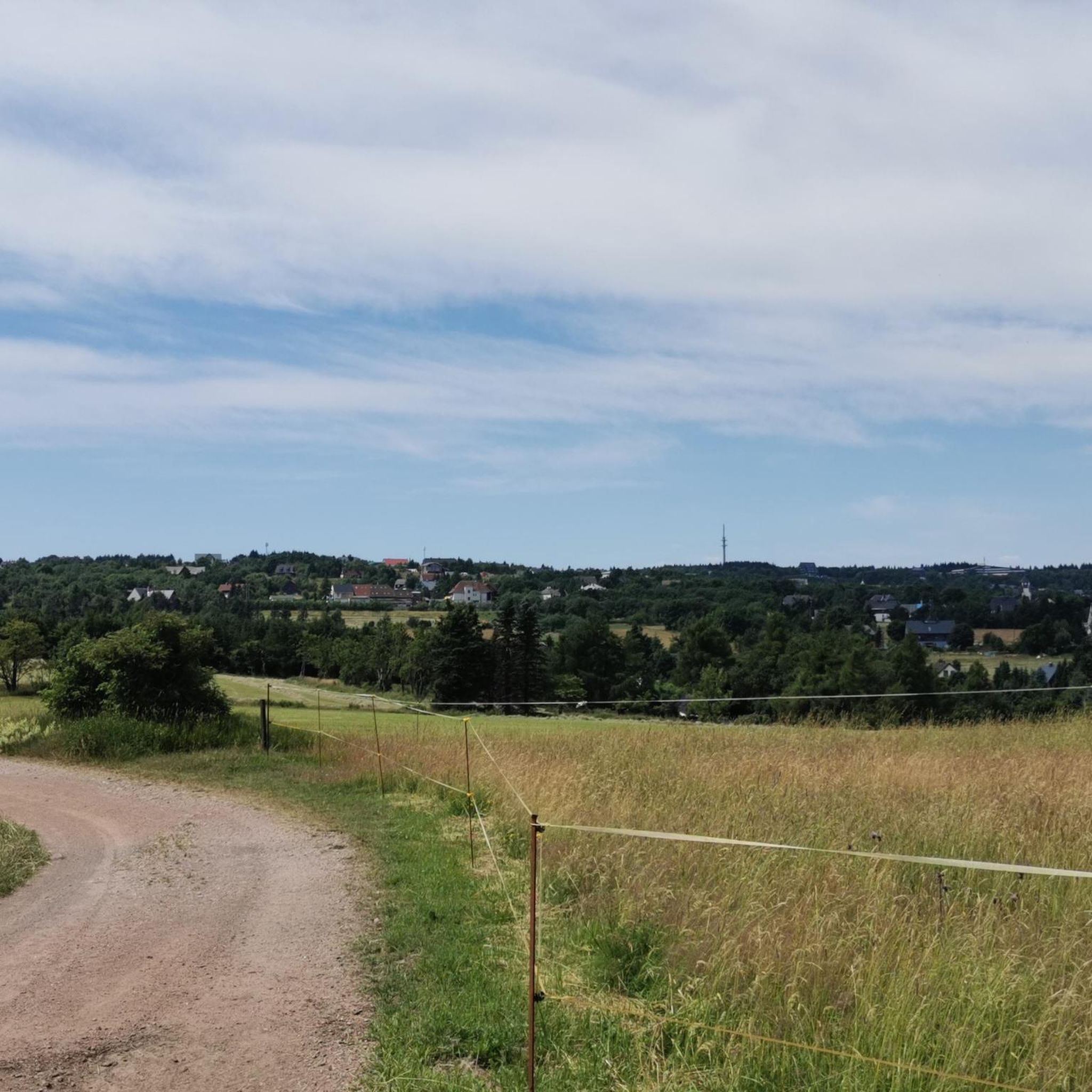
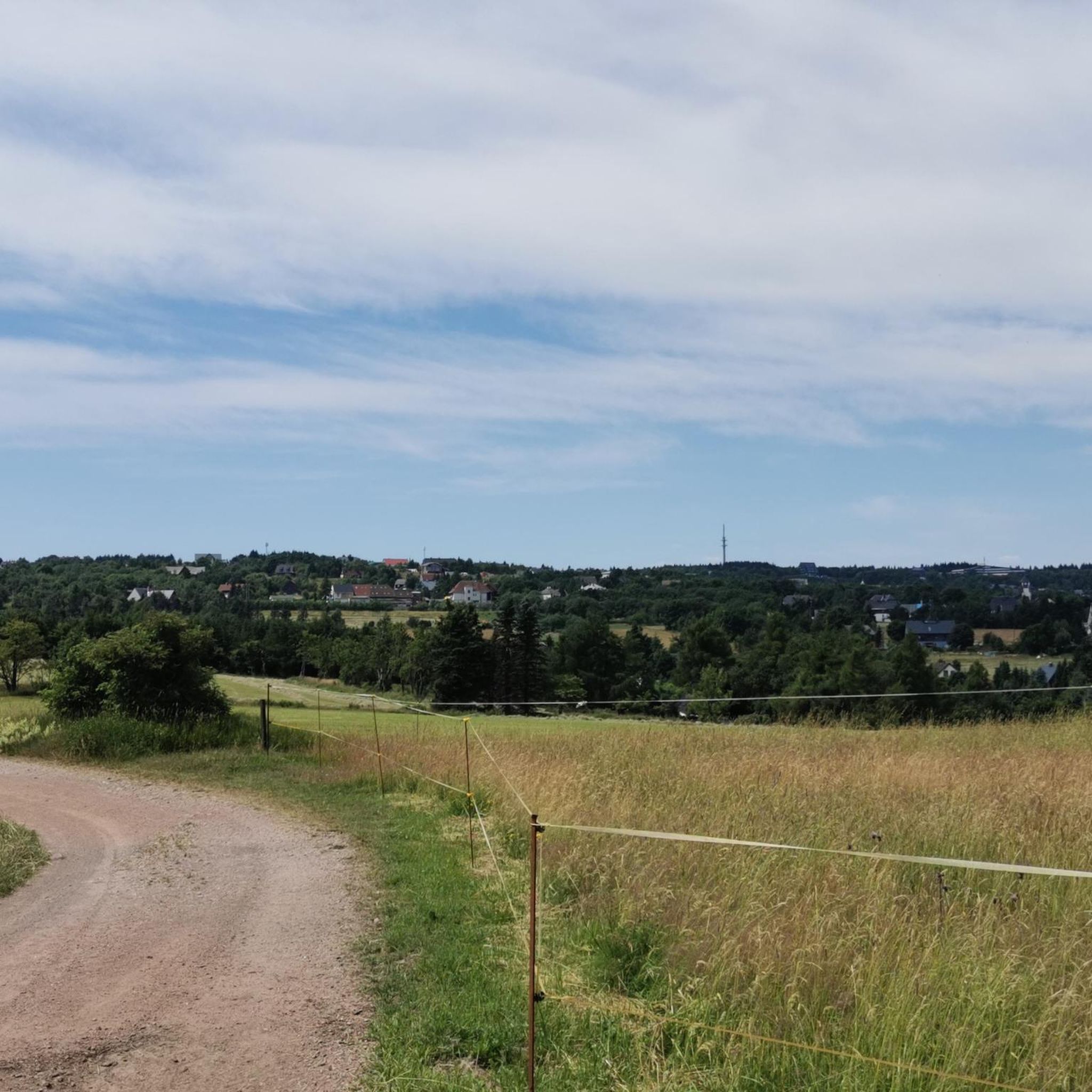
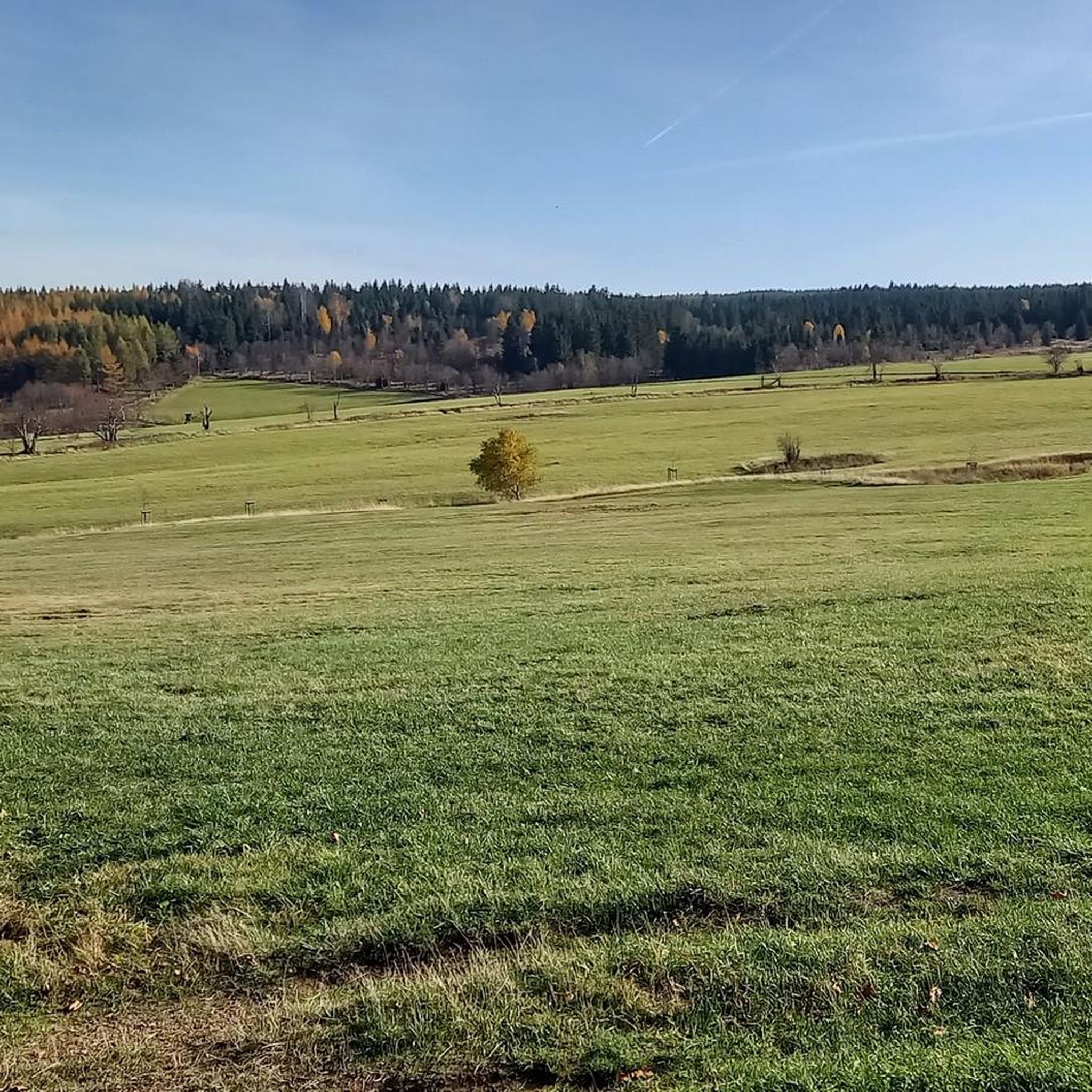
Hiking trails in Fürstenauer Heide Und Grenzwiesen traverse a diverse landscape within the Saxon Switzerland-East Ore Mountains region. The area features expansive wildflower meadows, significant moor remnants, and dense forests. Rocky ridges and valleys shaped by clear streams contribute to the varied terrain, offering panoramic views of the Eastern Ore Mountains.
Best hiking trails in Fürstenauer Heide Und Grenzwiesen
- The most popular hiking route is Anton Günther Monument – Rest area below the summit loop from Geising, a 3.1…
Last updated: July 12, 2026
4.6
(26)
118
hikers
5.00km
01:31
160m
160m
Easy hike. Great for any fitness level. Easily-accessible paths. Suitable for all skill levels.
4.6
(26)
88
hikers
11.3km
03:12
240m
240m
Moderate hike. Good fitness required. Easily-accessible paths. Suitable for all skill levels.

Sign up for free
4.8
(10)
57
hikers
5.26km
01:27
90m
90m
Easy hike. Great for any fitness level. Easily-accessible paths. Suitable for all skill levels.
4.7
(7)
48
hikers
6.96km
02:09
260m
260m
Moderate hike. Good fitness required. Easily-accessible paths. Suitable for all skill levels.
4.4
(7)
23
hikers
18.7km
05:49
640m
640m
Hard hike. Very good fitness required. Mostly accessible paths. Sure-footedness required.
Get access to more routes and recommendations from other explorers.
Sign up for free
Already have an account?
Our route recommendations are based on thousands of hikes, rides, and runs completed by other people on komoot.
Start today with a free account
Your next adventure awaits.
Login or Signup
Tips from the Community


Here you really get the feeling that the world is still in order...
0
0
A local and culinary highlight, unless you don't like garlic...
0
0
EasyPark -App is accepted here! The setup in the hut is exceptionally inviting and interesting *****!
0
0


Very cute, you sit nicely protected
0
0
A nice resting place shortly before the steep ascent to the Kohlhaukuppe.
1
0
Frequently Asked Questions
How many hiking trails are available in Fürstenauer Heide Und Grenzwiesen?
There are over 20 hiking trails in Fürstenauer Heide Und Grenzwiesen, offering a range of options from easy strolls to more challenging treks. The komoot community has rated these routes highly, with an average score of 4.6 stars.
What kind of terrain can I expect on hikes in Fürstenauer Heide Und Grenzwiesen?
The terrain in Fürstenauer Heide Und Grenzwiesen is diverse, featuring expansive wildflower meadows, significant moor remnants, and dense forests. You'll also encounter rocky ridges and beautiful valleys shaped by clear streams, providing varied landscapes and panoramic views of the Eastern Ore Mountains.
Are there any easy hikes suitable for beginners or families in Fürstenauer Heide Und Grenzwiesen?
Yes, Fürstenauer Heide Und Grenzwiesen offers several easy hikes perfect for beginners or families. An excellent option is the Anton Günther Monument – Rest area below the summit loop from Geising, which is 3.1 miles (5.0 km) long and takes about 1 hour 31 minutes to complete. Another easy route is the View of Mückentürmchen – Traugott Hill loop from Fürstenau, covering 3.3 miles (5.3 km).
What are some notable landmarks or viewpoints I can discover while hiking?
Hikers can explore several interesting landmarks and enjoy panoramic views. The Traugott Hill offers great vistas, and the Anton Günther Monument serves as a point of interest and rest area. The Mückentürmchen is another significant landmark, with routes like the View of Mückentürmchen – Village Church of Fürstenau loop from Fürstenau offering views of it.
Are dogs allowed on the hiking trails in Fürstenauer Heide Und Grenzwiesen?
Generally, dogs are welcome on hiking trails in Fürstenauer Heide Und Grenzwiesen. It's always recommended to keep them on a leash, especially in areas with wildlife or near livestock, and to follow local regulations. Ensure you carry water for your dog and clean up after them.
What is the best time of year to go hiking in Fürstenauer Heide Und Grenzwiesen?
The best time to visit Fürstenauer Heide Und Grenzwiesen for hiking is typically from spring to autumn. During these seasons, the wildflower meadows are vibrant, and the weather is generally pleasant. Autumn offers beautiful fall foliage, while spring brings fresh greenery and blooming flowers. Winter hiking is possible, but trails may be snowy or icy, requiring appropriate gear.
Are there any circular hiking routes in the area?
Yes, many routes in Fürstenauer Heide Und Grenzwiesen are circular, allowing you to start and end at the same point. Examples include the Anton Günther Monument – Rest area below the summit loop from Geising and the View of Mückentürmchen – Village Church of Fürstenau loop from Fürstenau, which offer convenient round trips.
Where can I find parking for hiking trails in Fürstenauer Heide Und Grenzwiesen?
Parking is generally available at trailheads and popular starting points for hikes within Fürstenauer Heide Und Grenzwiesen. Specific parking information can often be found on local signage or within the komoot tour details for individual routes. Many routes start from villages like Geising or Fürstenau, which typically have designated parking areas.
Is public transport available to reach the hiking areas?
Public transport options may be available to reach the villages surrounding Fürstenauer Heide Und Grenzwiesen, such as Geising or Fürstenau, which serve as starting points for many trails. It's advisable to check local bus or train schedules for the most up-to-date information on connections to the region.
Are there any places to eat or refresh near the hiking routes?
Yes, you can find places to eat and refresh in the nearby villages. The region has a history of mining, and some historical sites might have small eateries. The Hüttenteich lodge and natural swimming pool near Geising is a notable spot that offers a refreshing stop for visitors.
What kind of wildlife might I encounter while hiking?
Fürstenauer Heide Und Grenzwiesen is home to diverse wildlife, particularly due to its moor remnants and dense forests. You might spot various bird species, small mammals, and insects. The unique flora of the moors, such as round-leaved sundew and cranberry, also adds to the natural appeal.
Are there any historical sites or remnants of past activities in the area?
Yes, the region has a rich history, particularly related to tin and iron ore mining dating back to the 13th century. You can find remnants like the 'Silberstolln' (now a show mine) in the Erdbachtal and the 'Kratzhammer' in Fürstenwalde. The ancient Aschergraben, a ditch built in the mid-15th century for ore processing, is another historical feature to explore.
Most popular routes in Fürstenauer Heide Und Grenzwiesen
Most popular attractions in Fürstenauer Heide Und Grenzwiesen

Get inspired with the komoot mobile app


Explore more
Browse the best Hikes in other regions.
