The best running trails in Wildschutzgebiet Riedlhäng
4.6
(104)
1,357
runners
97
runs
Jogging in Wildschutzgebiet Riedlhäng offers a diverse range of running routes through a protected natural area. The region is characterized by its natural landscapes, including forests and varied terrain, providing a tranquil setting for outdoor activity. Runners can expect paths that wind through the sanctuary, offering opportunities to experience the local environment. The area's topography includes gentle ascents and descents, suitable for different fitness levels.
Best jogging routes in Wildschutzgebiet Riedlhäng
- The most popular jogging route is Almberg – Almberg…
Last updated: July 6, 2026
4.8
(17)
138
runners
16.4km
02:05
600m
600m
Hard run. Very good fitness required. Mostly paved surfaces. Suitable for all skill levels.
19
runners
11.1km
01:10
120m
120m
Moderate run. Good fitness required. Mostly paved surfaces. Suitable for all skill levels.

Sign up for free
5.0
(2)
22
runners
7.26km
00:48
130m
130m
Moderate run. Good fitness required. Mostly paved surfaces. Suitable for all skill levels.
5.0
(1)
8
runners
6.95km
00:44
90m
90m
Moderate run. Good fitness required. Mostly paved surfaces. Suitable for all skill levels.
7
runners
12.0km
01:44
460m
460m
Hard run. Very good fitness required. Sure-footedness, sturdy shoes and alpine experience required.
Get access to more routes and recommendations from other explorers.
Sign up for free
Already have an account?
Our route recommendations are based on thousands of hikes, rides, and runs completed by other people on komoot.
Start today with a free account
Your next adventure awaits.
Login or Signup

Tips from the Community

https://www.mitterdorf.info/ The longest Flyline in the world With the Flyline at Almberg, you'll experience summer from a new perspective: At almost 2,000 meters long, you'll glide gently and almost silently through the forest. A centrifugal brake trolley, which glides along a stainless steel tube support system between the trees, allows for a safe and controlled descent. With a speed of up to 12 km/h and a ride time of around 15 minutes, the focus is on enjoying nature, not on thrills. The facility is completely barrier-free and therefore ideally suited for people with disabilities and, of course, for children. For better planning and organization, we ask wheelchair users to register one day in advance. As part of the new summer offering at Almberg, it makes Mitterdorf an attractive year-round destination. Terms of use: Minimum height: 1.20 | Weight range: 20 kg – 120 kg
0
0

The Alpe is your perfect cycling stop on the Almberg – quiet, cozy, with good food and drink. Take a short break, breathe deeply – and experience the feeling of your tour even more intensely. More information: www.gasthof-pension-alpe.de.
0
0

In winter, Bavarian Forest trail
0
0
In winter, Bavarian Forest trail
0
0

Great swimming lake and in winter start of the 3 Königsloipe
0
0

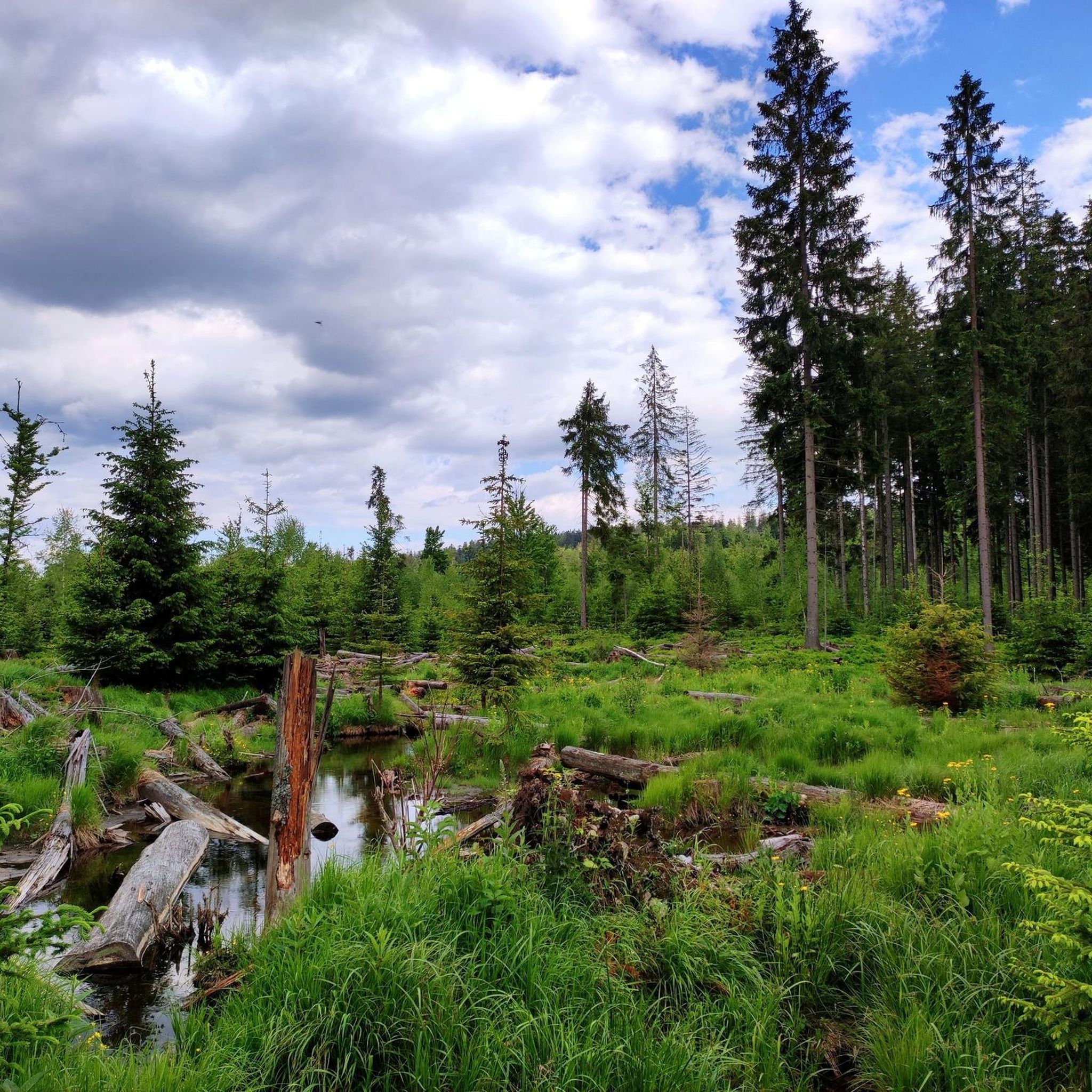
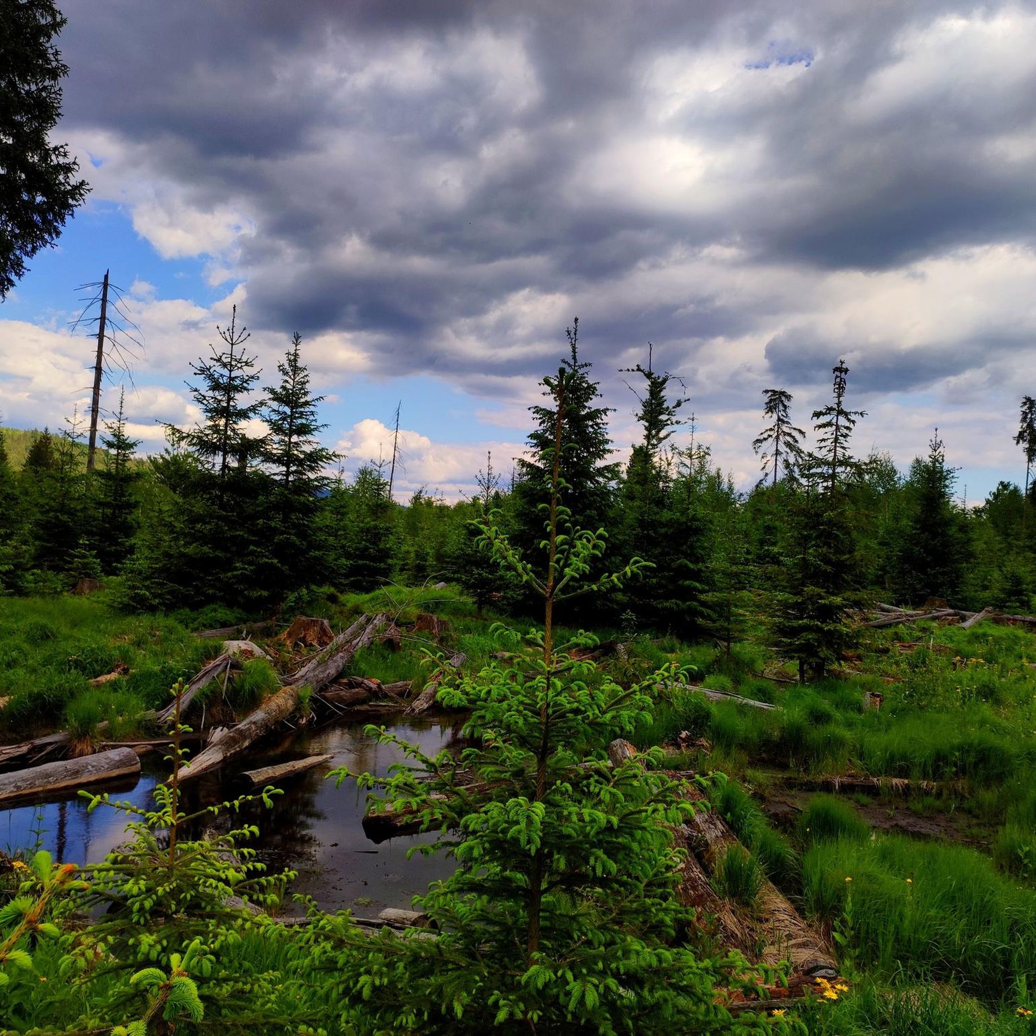
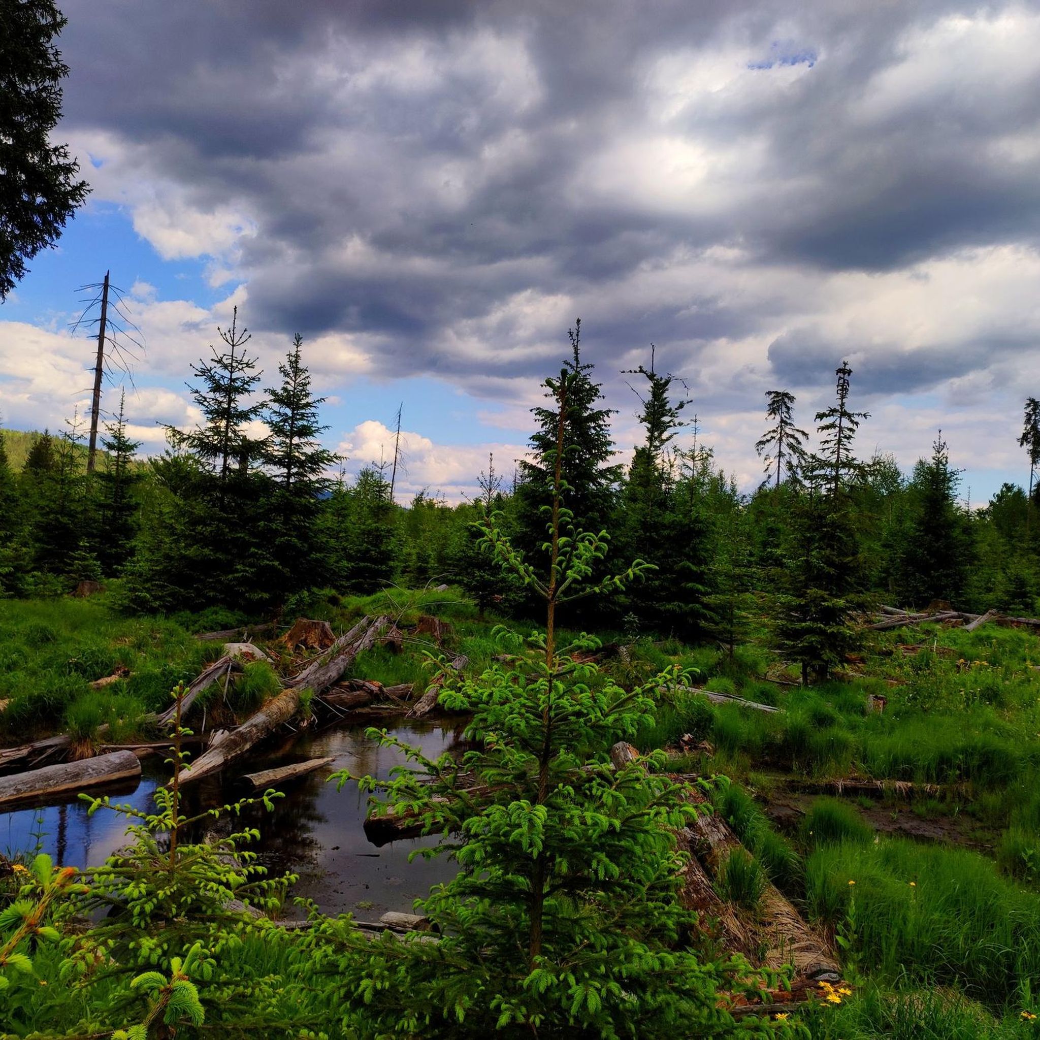
Green area in the middle of the Bavarian Forest, formerly used for livestock farming
0
0
Frequently Asked Questions
How many running routes are available in Wildschutzgebiet Riedlhäng?
Wildschutzgebiet Riedlhäng offers a wide selection of running routes, with over 90 different trails to explore. These range from easy paths to more challenging runs, catering to various fitness levels.
Are there easy running routes suitable for beginners in Wildschutzgebiet Riedlhäng?
Yes, Wildschutzgebiet Riedlhäng features several easy running routes perfect for beginners or those looking for a relaxed jog. There are 6 designated easy tours, offering gentle terrain through the natural surroundings.
What are the typical lengths of running trails in Wildschutzgebiet Riedlhäng?
The running trails in Wildschutzgebiet Riedlhäng vary significantly in length. For instance, the Running loop from Mauth is a moderate 4.5 miles (7.3 km) path, while the Almberg – Almberg Summit Cross loop from Mauth is a more demanding 10.2 miles (16.4 km) trail.
Can I bring my dog on the running trails in Wildschutzgebiet Riedlhäng?
Generally, dogs are welcome on trails in natural areas like Wildschutzgebiet Riedlhäng. However, as it is a protected area, it's advisable to keep your dog on a leash to protect wildlife and ensure a pleasant experience for all runners. Always clean up after your pet.
What is the best season for running in Wildschutzgebiet Riedlhäng?
The natural forest paths and varied terrain of Wildschutzgebiet Riedlhäng are enjoyable throughout much of the year. Spring and autumn offer pleasant temperatures and beautiful scenery, while summer provides lush green landscapes. Winter running is also possible, but conditions may require appropriate gear due to snow or ice.
Are there any circular running paths in Wildschutzgebiet Riedlhäng?
Yes, many of the running routes in Wildschutzgebiet Riedlhäng are designed as circular loops. For example, the Running loop from Finsterau is a popular 4.3 miles (7.0 km) circular trail through natural forest paths.
What kind of terrain can I expect on the running routes?
The routes in Wildschutzgebiet Riedlhäng are characterized by natural forest trails and varied terrain. You can expect a mix of gentle ascents and descents, providing a dynamic running experience suitable for different fitness levels.
What do other runners enjoy most about jogging in Wildschutzgebiet Riedlhäng?
The area is highly rated by the komoot community, with an average score of 4.6 stars from over 90 reviews. Reviewers often praise the tranquil setting, natural forest paths, and the opportunity to experience the local environment away from urban noise.
Are there any interesting sights or landmarks along the running routes?
Yes, Wildschutzgebiet Riedlhäng offers several points of interest. You might encounter natural features like the Steinbachklause Pond and Shelter or the Steinbachtal Wetlands and Beaver Dams. The Steinbachtal Boardwalk also offers a unique experience.
Where can I find parking for the running trails in Wildschutzgebiet Riedlhäng?
Many running routes in Wildschutzgebiet Riedlhäng start from villages like Mauth or Finsterau, where you can typically find parking facilities. It's recommended to check the specific route details on komoot for designated parking areas near your chosen starting point.
Are there any challenging running trails for experienced runners?
Absolutely. For experienced runners seeking a challenge, Wildschutzgebiet Riedlhäng offers several difficult routes. An example is the Plöchinger Säge Cabin – Schwarzbachklause loop from Mauther Forst, which features significant elevation changes over its 7.5 miles (12 km) distance.
Most popular routes in Wildschutzgebiet Riedlhäng
Most popular attractions in Wildschutzgebiet Riedlhäng

Get inspired with the komoot mobile app


Explore more
Browse the best Running Trails & Routes in other regions.
