The best walks and hikes in Wildschutzgebiet Riedlhäng
4.6
(10518)
42,610
hikers
657
hikes
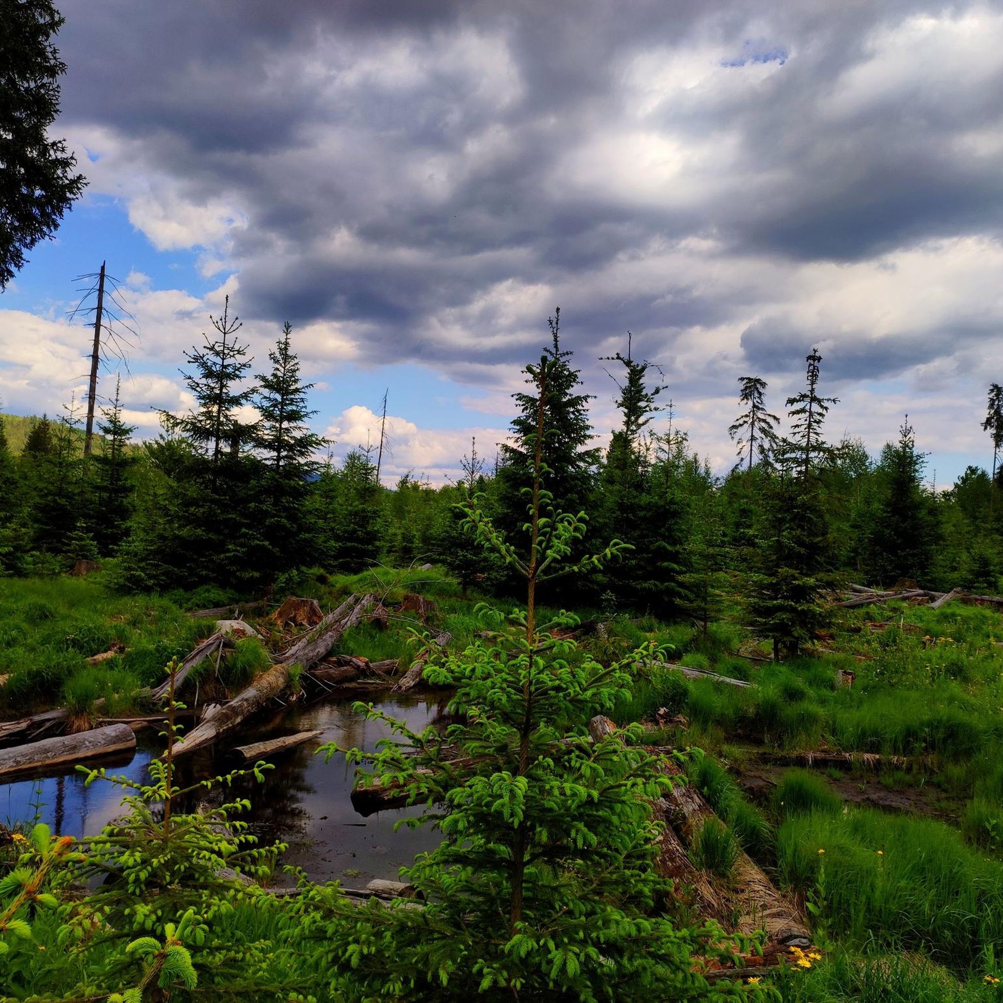
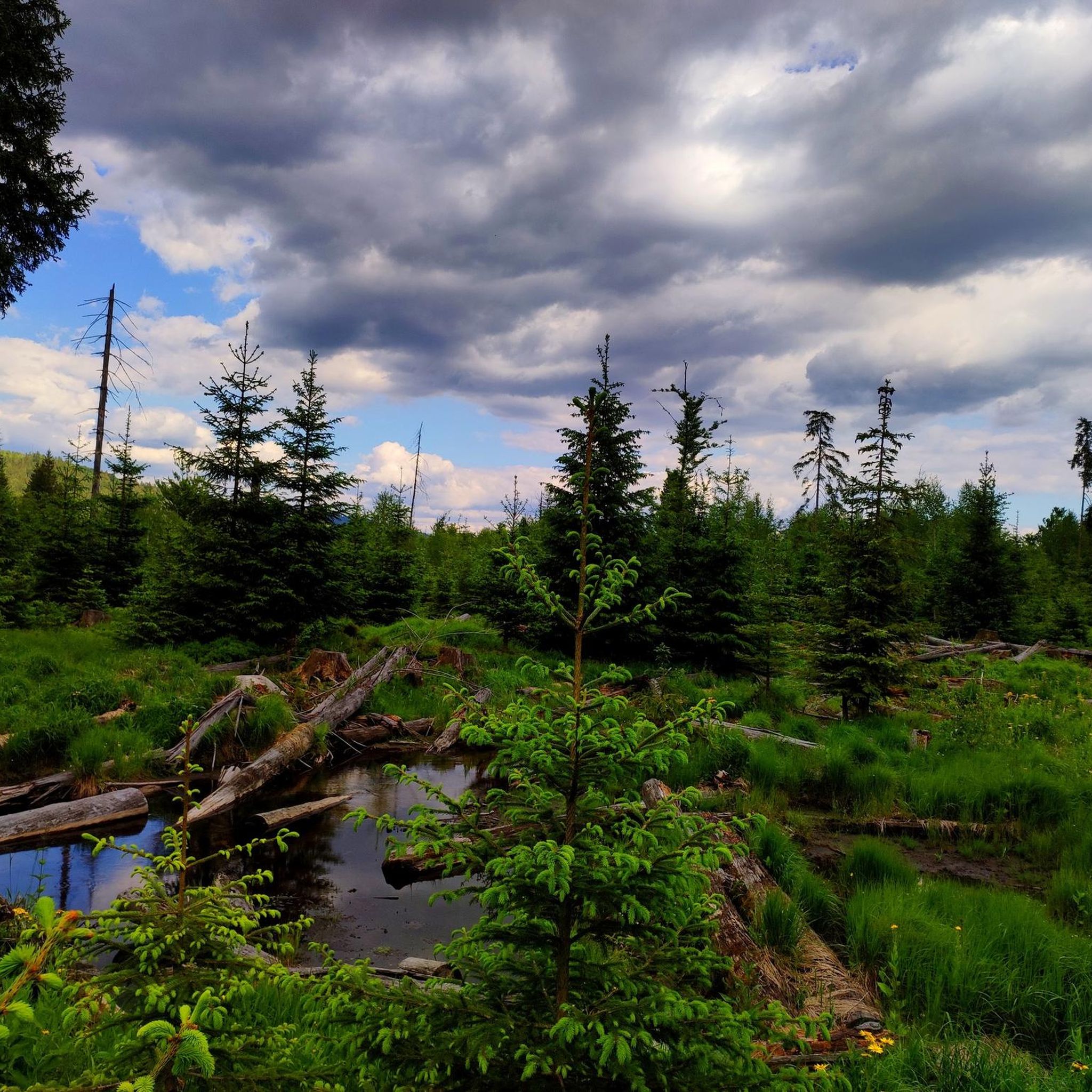
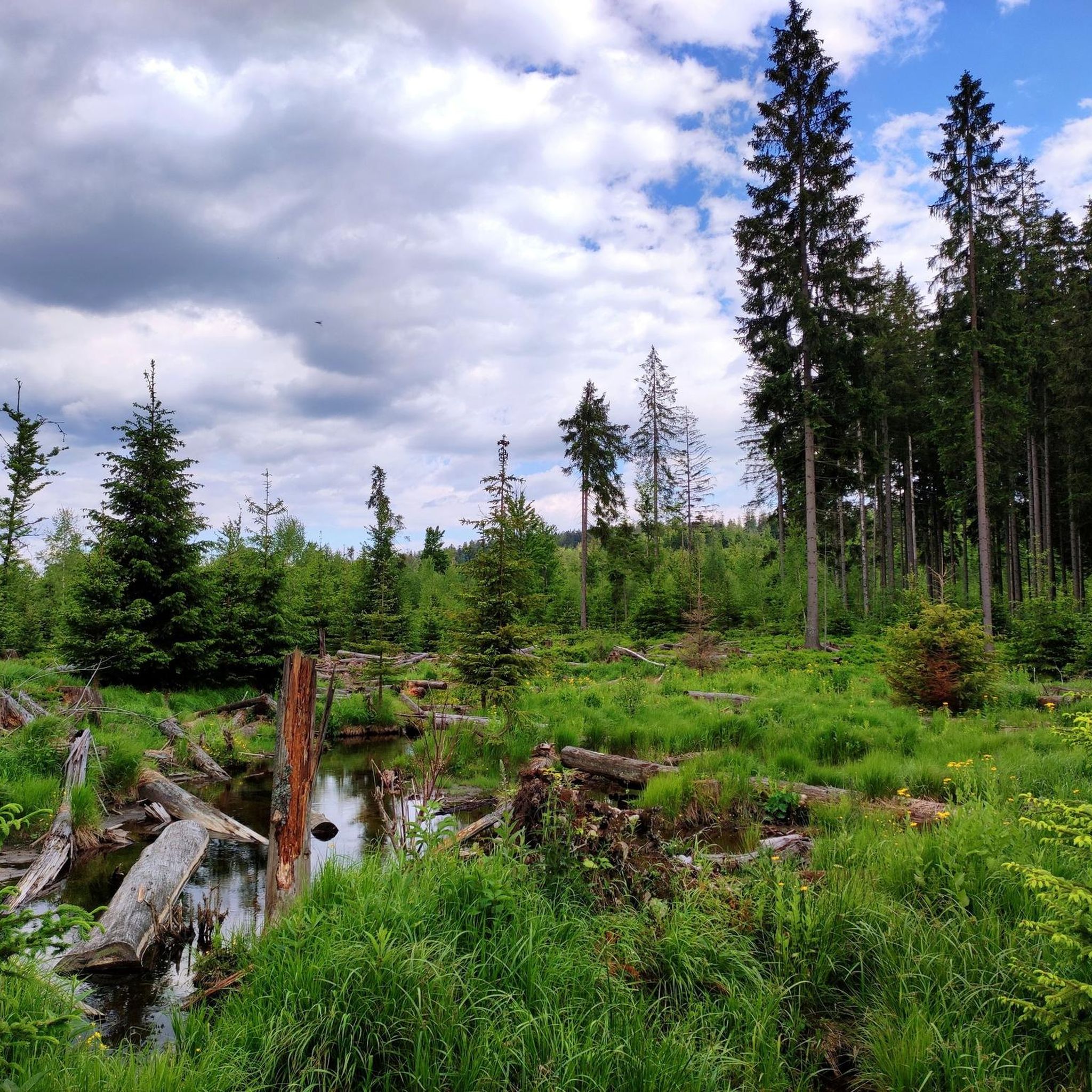
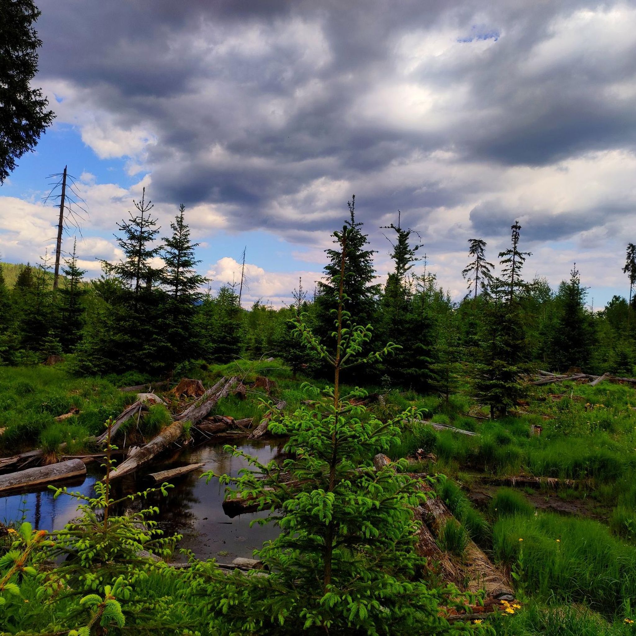
Hiking in Wildschutzgebiet Riedlhäng, located within the Bavarian Forest National Park, offers diverse landscapes for outdoor activities. The region is characterized by extensive forest trails, picturesque waterways, and varied elevation. Hikers can explore areas featuring dense woodlands, flowing streams, and sections of mountainous terrain. This varied topography provides a dynamic hiking experience.
Best hiking trails in Wildschutzgebiet Riedlhäng
- The most popular hiking route is Stone Staircase – Great Kanzel Summit loop from Mauth, a 4.0 miles (6.4 km) trail…
Last updated: June 27, 2026
4.8
(45)
169
hikers
16.3km
05:02
600m
600m
Hard hike. Very good fitness required. Easily-accessible paths. Suitable for all skill levels.
4.5
(11)
56
hikers
7.22km
01:58
80m
80m
Moderate hike. Great for any fitness level. Mostly accessible paths. Sure-footedness required.

Sign up for free
4.8
(13)
67
hikers
17.7km
05:50
640m
640m
Hard hike. Very good fitness required. Sure-footedness, sturdy shoes and alpine experience required.
4.5
(6)
25
hikers
10.5km
03:15
220m
220m
Moderate hike. Good fitness required. Mostly accessible paths. Sure-footedness required.
4.6
(9)
21
hikers
Moderate hike. Good fitness required. Mostly accessible paths. Sure-footedness required.
Get access to more routes and recommendations from other explorers.
Sign up for free
Already have an account?
Our route recommendations are based on thousands of hikes, rides, and runs completed by other people on komoot.
Start today with a free account
Your next adventure awaits.
Login or Signup

Tips from the Community

The Alpe is your perfect cycling stop on the Almberg – quiet, cozy, with good food and drink. Take a short break, breathe deeply – and experience the feeling of your tour even more intensely. More information: www.gasthof-pension-alpe.de.
0
0

In winter, Bavarian Forest trail
0
0
In winter, Bavarian Forest trail
0
0
In winter on the cross-country ski trail
0
0

very nice place for a short break
0
0
very nice shelter in the forest
0
0

A beautiful natural swimming lake with a lawn, benches, and even a small white beach. A lovely long wooden jetty leads directly into the water. The perfect way to cool off after a hike!
0
0
Frequently Asked Questions
How many hiking trails are there in Wildschutzgebiet Riedlhäng?
Wildschutzgebiet Riedlhäng offers over 10 hiking trails, providing diverse options for exploring the Bavarian Forest National Park. These routes range from moderate to difficult, catering to various experience levels.
What kind of terrain can I expect on the trails in Wildschutzgebiet Riedlhäng?
The terrain in Wildschutzgebiet Riedlhäng is varied, featuring extensive forest trails, picturesque waterways, and sections of mountainous terrain. You'll encounter dense woodlands, flowing streams, and unique areas like the Steinbachtal Wetlands and Beaver Dams.
Are there any easy or beginner-friendly hikes in Wildschutzgebiet Riedlhäng?
While the guide primarily features moderate to difficult routes, the region does offer softer hiking trails suitable for those seeking a less strenuous experience. For a moderate option, consider the Jagerstraßl Fountain – Rock Hiking Trail Jägerstraße loop from Mauth, which is 7.7 miles (12.4 km) long.
What natural attractions or landmarks can I see along the hiking trails?
Hikers can discover several natural highlights. The Steinbachklause Pond and Shelter offers a picturesque resting spot. You can also explore the Steinbachtal Wetlands and Beaver Dams, a significant wildlife sanctuary accessible seasonally. Some trails also feature impressive peaks and flowing streams, offering opportunities for 'waterfall hikes'.
Are there any circular hiking routes available?
Yes, Wildschutzgebiet Riedlhäng features several circular routes. A popular difficult option is the Great Kanzel Summit – Stone Staircase loop from Mauth, a 11.0 miles (17.7 km) trail. For a moderate circular hike, try the Sandriegel Rest Area – Bridge Over the Schwarzbach loop from Mauth.
What is the best time of year to go hiking in Wildschutzgebiet Riedlhäng?
The Steinbachtal Wetlands and Beaver Dams, a significant natural highlight, are accessible seasonally from April 1st to November 30th. This period generally offers favorable conditions for hiking, allowing you to experience the full beauty of the region's diverse landscapes.
Is Wildschutzgebiet Riedlhäng suitable for dog owners?
The Bavarian Forest National Park, where Wildschutzgebiet Riedlhäng is located, generally welcomes dogs on trails, provided they are kept on a leash. Always check local signage for specific restrictions, especially in sensitive wildlife areas like the Steinbachtal Wetlands.
Where can I park when visiting Wildschutzgebiet Riedlhäng for a hike?
Hikers can utilize facilities like the Sandriegel Rest Area, which serves as a hiking car park and provides access to various trails. Many routes, such as those starting from Mauth, also have designated parking areas.
Can I reach the hiking trails using public transport?
While specific public transport details for every trailhead are not provided, the region is part of the Bavarian Forest National Park, which often has public transport options connecting to key access points. It's advisable to check local bus schedules to Mauth or other starting points.
Are there any long-distance hiking trails that pass through Wildschutzgebiet Riedlhäng?
Yes, the area is integrated into major long-distance routes. Sections of the Goldsteig long-distance trail, such as the N17 and N18 routes, traverse impressive peaks like the Lusen and lead through the Bavarian Forest National Park. The European long-distance path E6 also offers routes through the region.
What do other hikers say about their experience in Wildschutzgebiet Riedlhäng?
The hiking routes in Wildschutzgebiet Riedlhäng are highly rated by the komoot community, with an average score of 4.6 stars from over 1,600 reviews. Hikers often praise the extensive forest trails, the quiet natural experience, and the varied terrain that offers both moderate and challenging options.
Are there any particularly challenging hikes in the area?
Yes, Wildschutzgebiet Riedlhäng offers several challenging routes. The Tummelplatz Forest Service Hut – Lusen Hut loop from Mauth is a difficult 13.4 miles (21.6 km) path traversing forest landscapes and connecting two notable huts. The Great Kanzel Summit – Stone Staircase loop from Mauth is another difficult 11.0 miles (17.7 km) trail leading to a summit.
Most popular routes in Wildschutzgebiet Riedlhäng
Most popular attractions in Wildschutzgebiet Riedlhäng

Get inspired with the komoot mobile app


Explore more
Browse the best Hikes in other regions.
