Ehemaliger Standortübungsplatz Landshut Mit Isarleite
Ehemaliger Standortübungsplatz Landshut Mit Isarleite
The best road cycling routes in Ehemaliger Standortübungsplatz Landshut Mit Isarleite
4.5
(818)
9,437
riders
595
rides
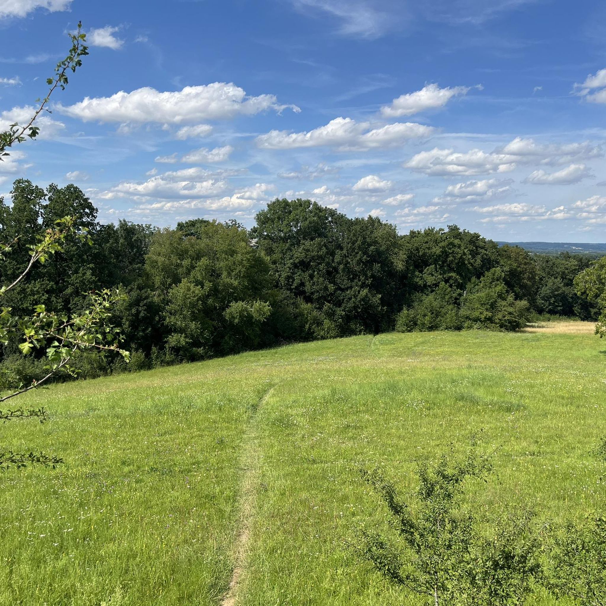
Road cycling in Ehemaliger Standortübungsplatz Landshut Mit Isarleite features varied terrain, including the prominent Isarleite (Isar slope) with elevation changes up to 110 meters. The region encompasses natural forests, the Tertiary Hill Country, and parts of the Isar valley, offering diverse landscapes for cyclists. While the immediate nature reserve has varied surfaces, the broader Landkreis Landshut region provides extensive paved routes suitable for road cycling. This natural reserve offers a comprehensive network of paths for road cycling.
Best road cycling routes in Ehemaliger Standortübungsplatz Landshut Mit Isarleite
- The most popular road cycling route is Pesenlern Turbo Route – Landshut Town Square loop from Hochschule für angewandte Wissenschaften Landshut, a 49.0 miles (78.9 km) trail that takes 3 hours 10 minutes to complete. This moderate route offers a comprehensive loop that includes the Landshut Town Square.
- Another top favourite among local road cyclists is Loiching–Weigendorf Cycle Path – Beautiful Old Farmhouse loop from Hochschule für angewandte Wissenschaften Landshut, a moderate 31.4 miles (50.6 km) path. This route winds through rural landscapes, passing by old farmhouses and utilizing dedicated cycle paths.
- Local road cyclists also love the Roadbike loop from Hochschule für angewandte Wissenschaften Landshut, a 30.2 miles (48.6 km) trail leading through the local area, often completed in about 2 hours 3 minutes.
- Road cycling in Ehemaliger Standortübungsplatz Landshut Mit Isarleite is defined by the Isarleite slopes, natural forests, and the Isar valley. The network offers options for different ability levels, from easy loops to more challenging routes with significant elevation gain.
- The routes in Ehemaliger Standortübungsplatz Landshut Mit Isarleite are highly rated by the komoot community with an average score of 4.5 stars from over 600 reviews. More than 8000 road cyclists have used komoot to explore Ehemaliger Standortübungsplatz Landshut Mit Isarleite's varied terrain.
Last updated: July 10, 2026
4.2
(21)
137
riders
32.2km
01:19
120m
120m
Moderate road ride. Great for any fitness level. Some segments of this route may be unpaved and difficult to ride.
4.0
(1)
26
riders
Moderate road ride. Good fitness required. Mostly well-paved surfaces and easy to ride.

Sign up for free
5.0
(2)
27
riders
Moderate road ride. Good fitness required. Some segments of this route may be unpaved and difficult to ride.
1.0
(1)
21
riders
15.7km
00:43
180m
180m
Easy road ride. Great for any fitness level. Mostly well-paved surfaces and easy to ride.
14
riders
Moderate road ride. Good fitness required. Some segments of this route may be unpaved and difficult to ride.
Get access to more routes and recommendations from other explorers.
Sign up for free
Already have an account?
Our route recommendations are based on thousands of hikes, rides, and runs completed by other people on komoot.
Start today with a free account
Your next adventure awaits.
Login or Signup
Popular around Ehemaliger Standortübungsplatz Landshut Mit Isarleite
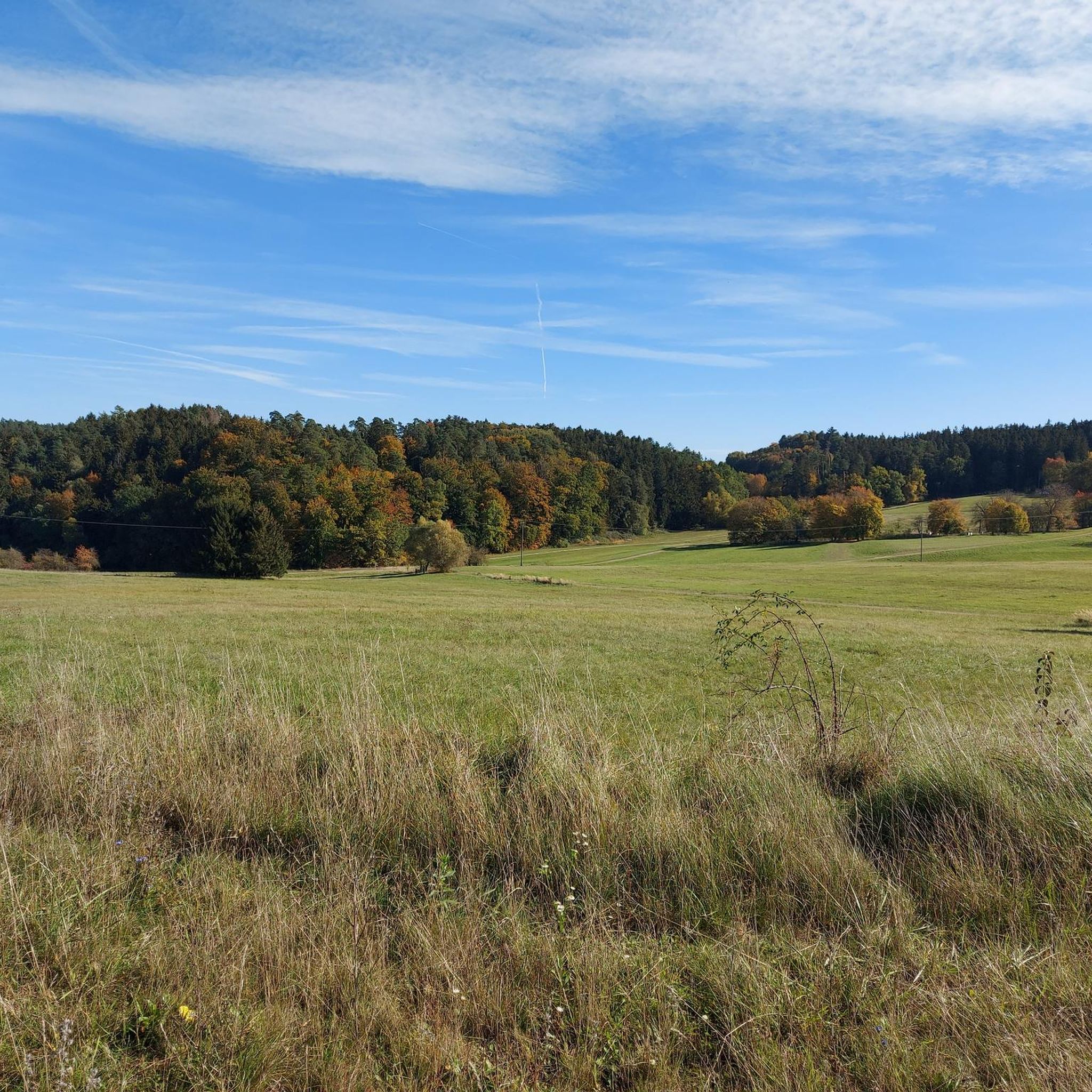
Hiking in Ehemaliger Standortübungsplatz Landshut Mit Isarleite
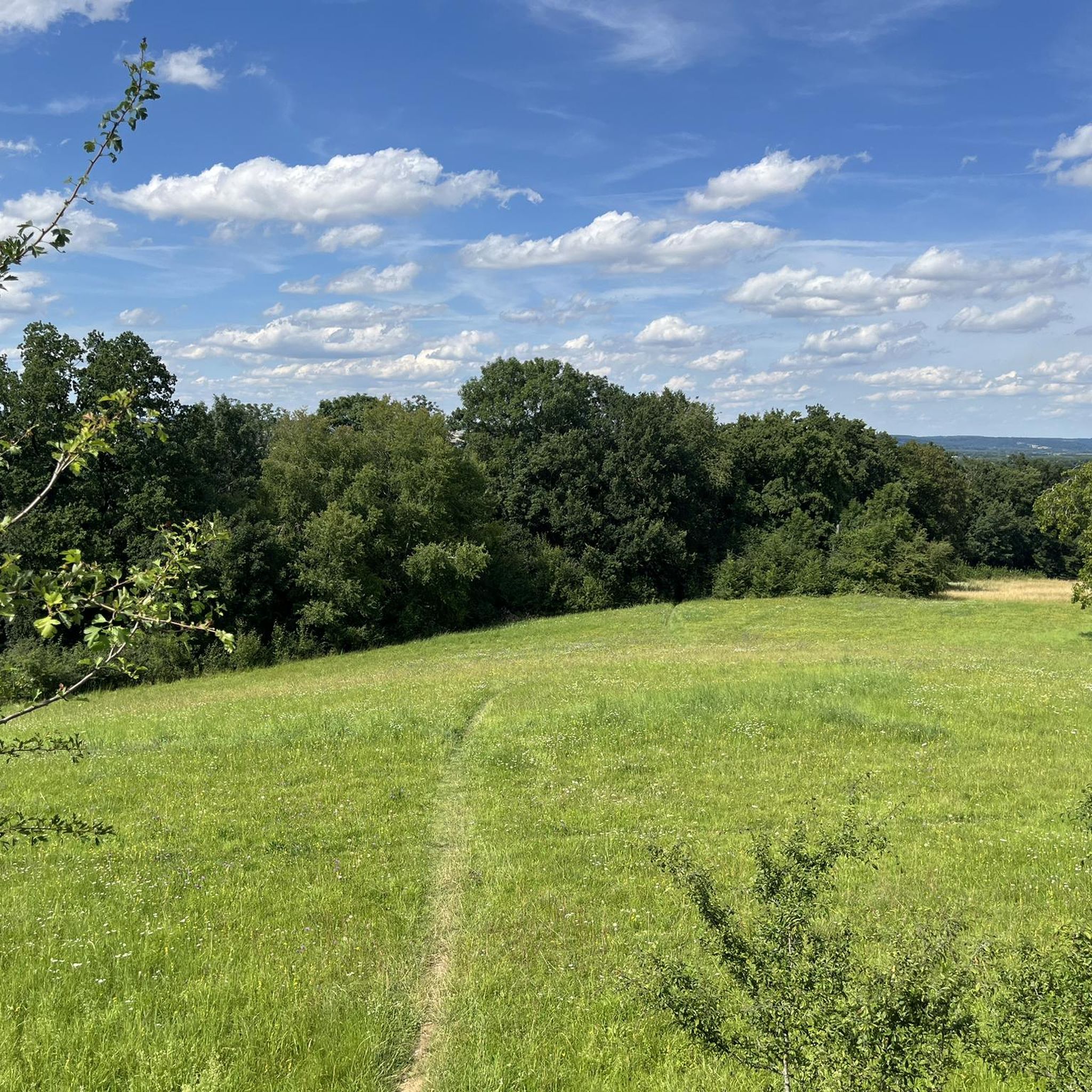
Cycling in Ehemaliger Standortübungsplatz Landshut Mit Isarleite
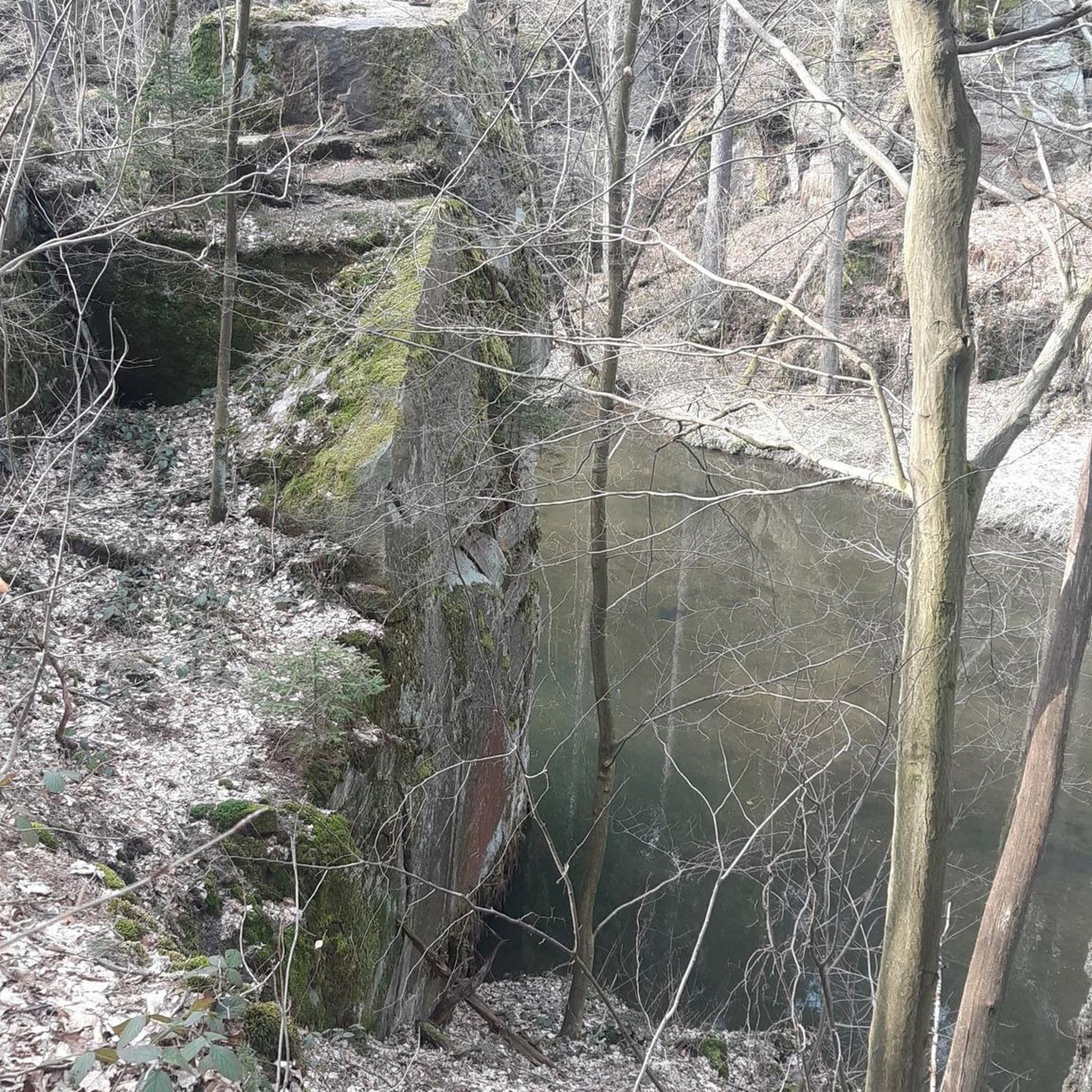
Gravel biking in Ehemaliger Standortübungsplatz Landshut Mit Isarleite
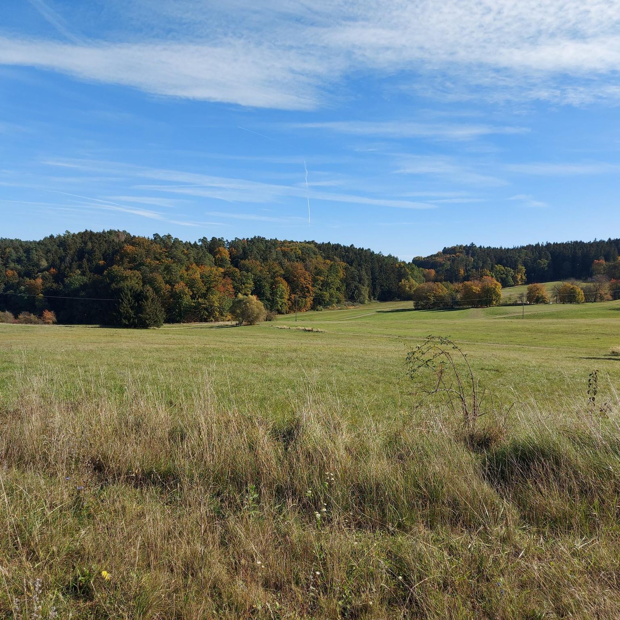
Running Trails in Ehemaliger Standortübungsplatz Landshut Mit Isarleite
MTB Trails in Ehemaliger Standortübungsplatz Landshut Mit Isarleite
Tips from the Community

Great city with many beautiful little pubs on the Isar.
0
0

Between Landshut and Ergolding you cross the bridge over the Pfeddrach.
1
0

You can take a quick look from the Isarweg to the Ländtor
1
1
There is something for everyone on the town square.
1
1

Interesting exhibitions often take place in the Holy Spirit Church; otherwise the church is a beautiful space.
0
0

the cycle path runs off the road and winds along the edge of the forest. Unfortunately it's not very long, so if you want to make progress you should stay on the road. If you have time and want to enjoy the landscape, we recommend the detour. As of March 24 - brand new asphalt
0
0

Perfect for a break.
1
0
Don't know if this is a "highlight"...
0
0
Frequently Asked Questions
What kind of terrain can I expect for road cycling in Ehemaliger Standortübungsplatz Landshut Mit Isarleite?
The region offers highly varied terrain, characterized by the prominent Isarleite (Isar slope) with elevation changes up to 110 meters, providing engaging ascents and descents. You'll also find routes through natural forests, the Tertiary Hill Country, and parts of the Isar valley, including extensive lean pastures and flower meadows. This diversity ensures options for all skill levels, from gentle rides to more challenging climbs.
Are there road cycling routes suitable for beginners or families?
Yes, the area provides a range of routes for different abilities. For an easier option, consider the Roadbike loop from Hochschule für angewandte Wissenschaften Landshut, which is an easy 9.4-mile (15.1 km) trail. Overall, there are 85 easy road cycling routes available, making it suitable for those new to road cycling or looking for a more relaxed ride.
What are some scenic viewpoints or natural features to look out for while cycling?
While cycling, you can enjoy panoramic views of the Isar valley from the Plaikaturm, a 6-meter-high observation tower. The routes also pass through diverse natural landscapes, including natural forests, vibrant flower meadows, and traditional orchard meadows. The area is a significant nature reserve, so you'll be cycling amidst rich biodiversity.
Are there any historical landmarks or attractions along the road cycling routes?
Beyond its natural beauty, the area has a unique history as a former military training ground, with hints of past historical military installations still present. For a route that includes a castle, you might explore options like the Gerzen Castle – Niederaichbach Castle loop from Ehemaliger Standortübungsplatz Landshut mit Isarleite, which covers 58.1 miles (93.5 km).
What is the best time of year for road cycling in this region?
Given the diverse natural landscapes and open pastures, spring and autumn are generally ideal for road cycling. These seasons offer pleasant temperatures and vibrant scenery, from blooming flowers in spring to colorful foliage in autumn. Summer can also be enjoyable, especially during cooler mornings or evenings.
How many road cycling routes are available in Ehemaliger Standortübungsplatz Landshut Mit Isarleite?
There are over 500 road cycling routes available in Ehemaliger Standortübungsplatz Landshut Mit Isarleite. This includes 85 easy routes, 447 moderate routes, and 30 difficult routes, ensuring a wide selection for all experience levels.
What do other road cyclists enjoy most about this area?
The area is highly rated by the komoot community, with an average score of 4.5 stars from over 600 reviews. Cyclists often praise the varied terrain, the comprehensive network of paths, and the stunning vistas, particularly the challenging ascents and descents of the Isarleite.
Are there any circular road cycling routes available?
Yes, many routes in the region are designed as loops. For example, the popular Pesenlern Turbo Route – Landshut Town Square loop from Hochschule für angewandte Wissenschaften Landshut is a 49.0-mile (78.9 km) moderate loop. Another option is the Dicke Fische Lake loop from Ehemaliger Standortübungsplatz Landshut mit Isarleite, a 30.3-mile (48.8 km) moderate route.
What are the rules regarding dogs in the nature reserve while cycling?
As Ehemaliger Standortübungsplatz Landshut Mit Isarleite is a significant nature reserve, it's crucial to respect local regulations to protect its rich biodiversity. Generally, dogs must be kept on a leash in nature reserves to prevent disturbance to wildlife and grazing animals. Always check specific signage at entry points for the most current rules.
Are there any facilities like cafes or restaurants near the cycling routes?
While the nature reserve itself is primarily natural, the broader area around Landshut offers various amenities. Many routes start or pass near urban areas or villages where you can find cafes, pubs, and accommodation options. It's advisable to plan your route and check for facilities in nearby towns like Landshut before you set off.
What is the typical elevation gain on road cycling routes in the region?
The elevation gain varies significantly depending on the route. The prominent Isarleite (Isar slope) features elevation changes of up to 110 meters on its own. For example, the Loiching–Weigendorf Cycle Path – Beautiful Old Farmhouse loop from Auloh, a moderate 31.3-mile route, involves an elevation gain of approximately 571 meters.
Most popular routes in Ehemaliger Standortübungsplatz Landshut Mit Isarleite
Most popular attractions in Ehemaliger Standortübungsplatz Landshut Mit Isarleite

Get inspired with the komoot mobile app


Explore more
Browse the best Road cycling routes in other regions.
