Ehemaliger Standortübungsplatz Landshut Mit Isarleite
Ehemaliger Standortübungsplatz Landshut Mit Isarleite
The best walks and hikes in Ehemaliger Standortübungsplatz Landshut Mit Isarleite
4.6
(2105)
10,400
hikers
719
hikes
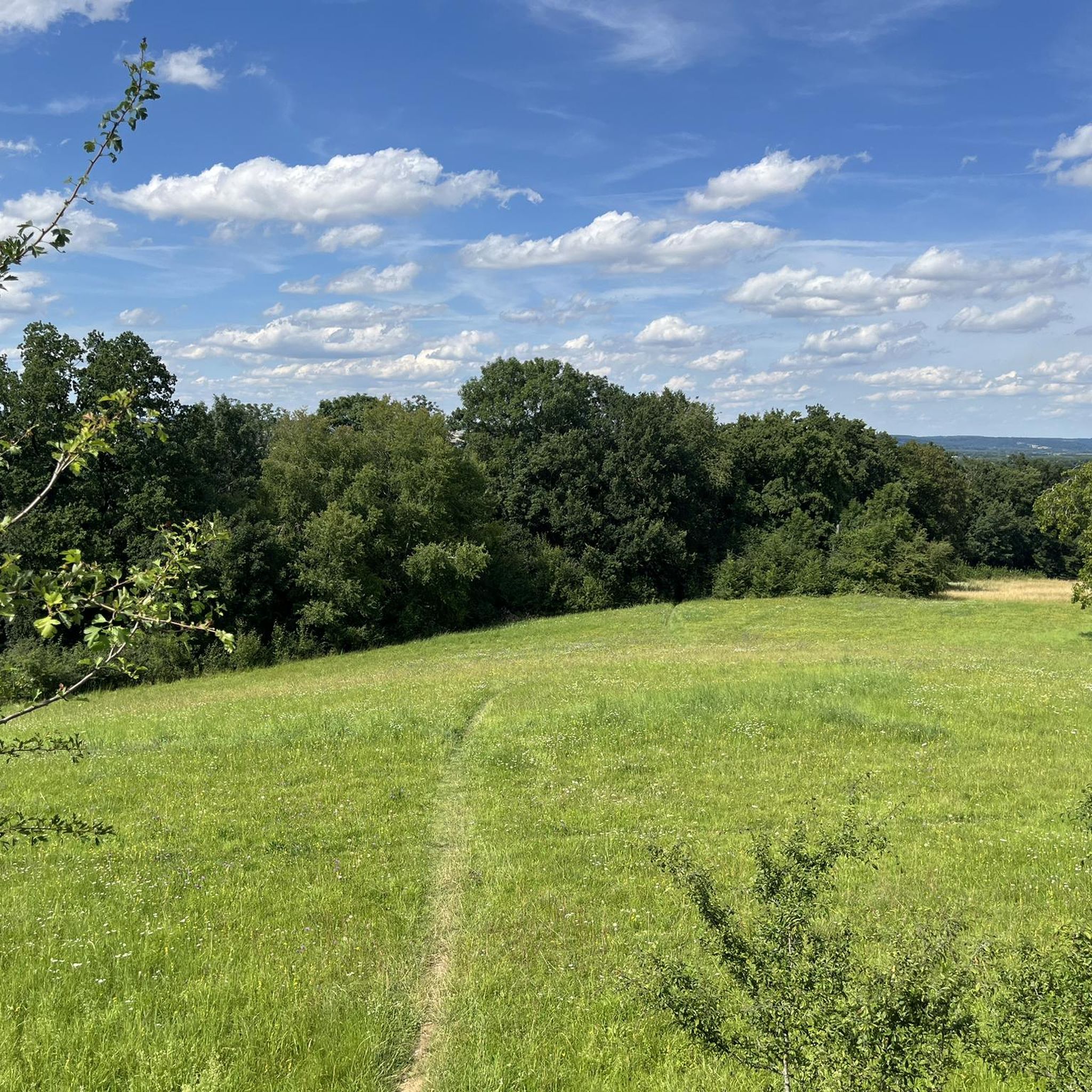
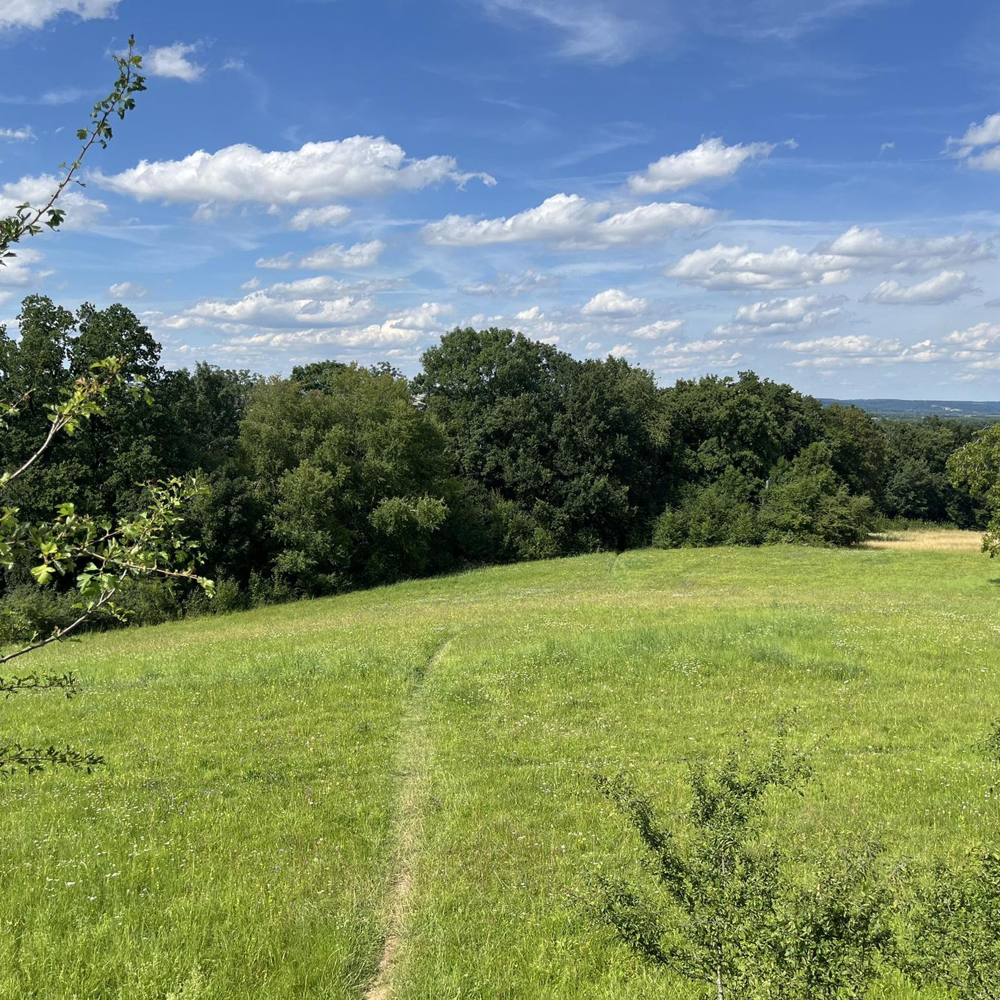
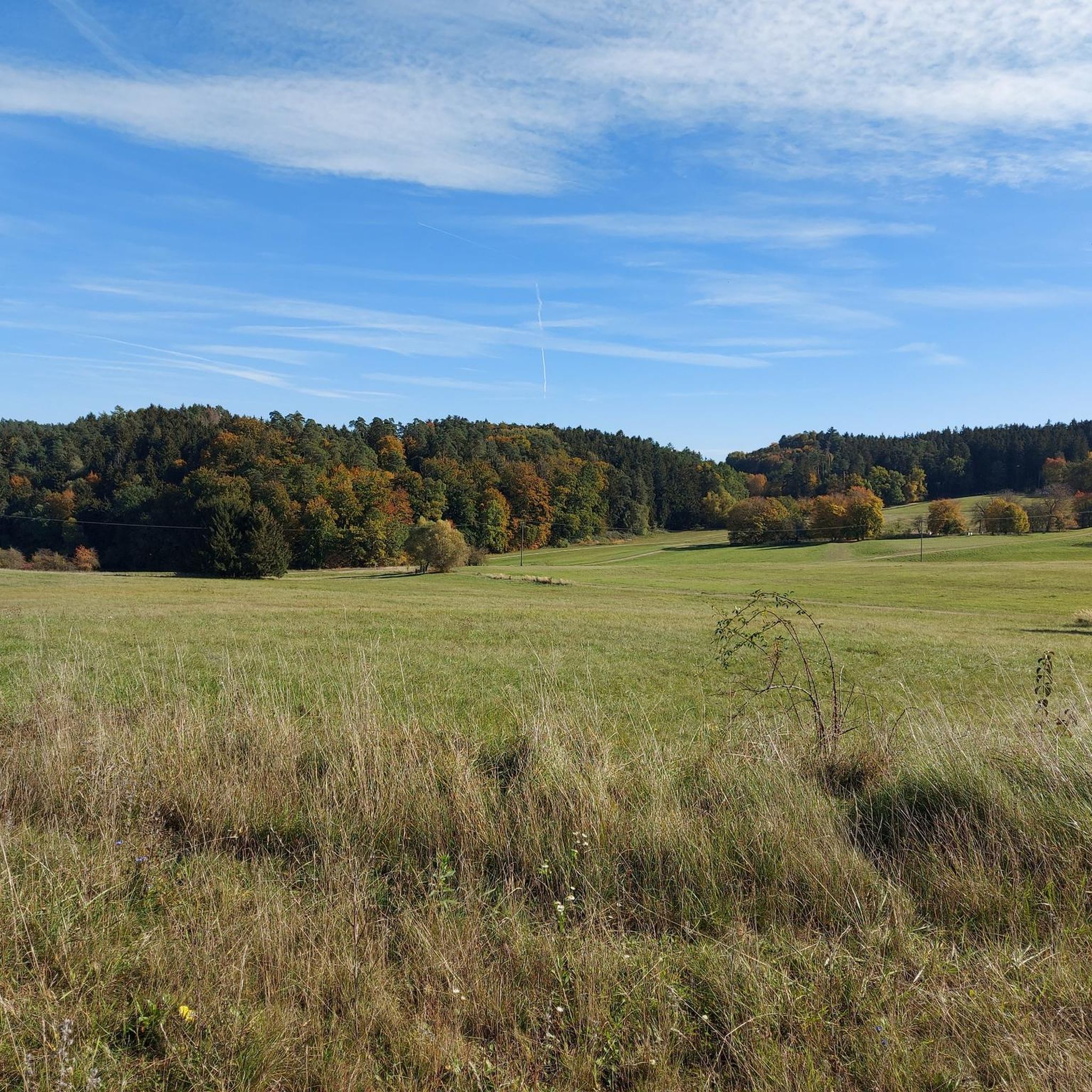
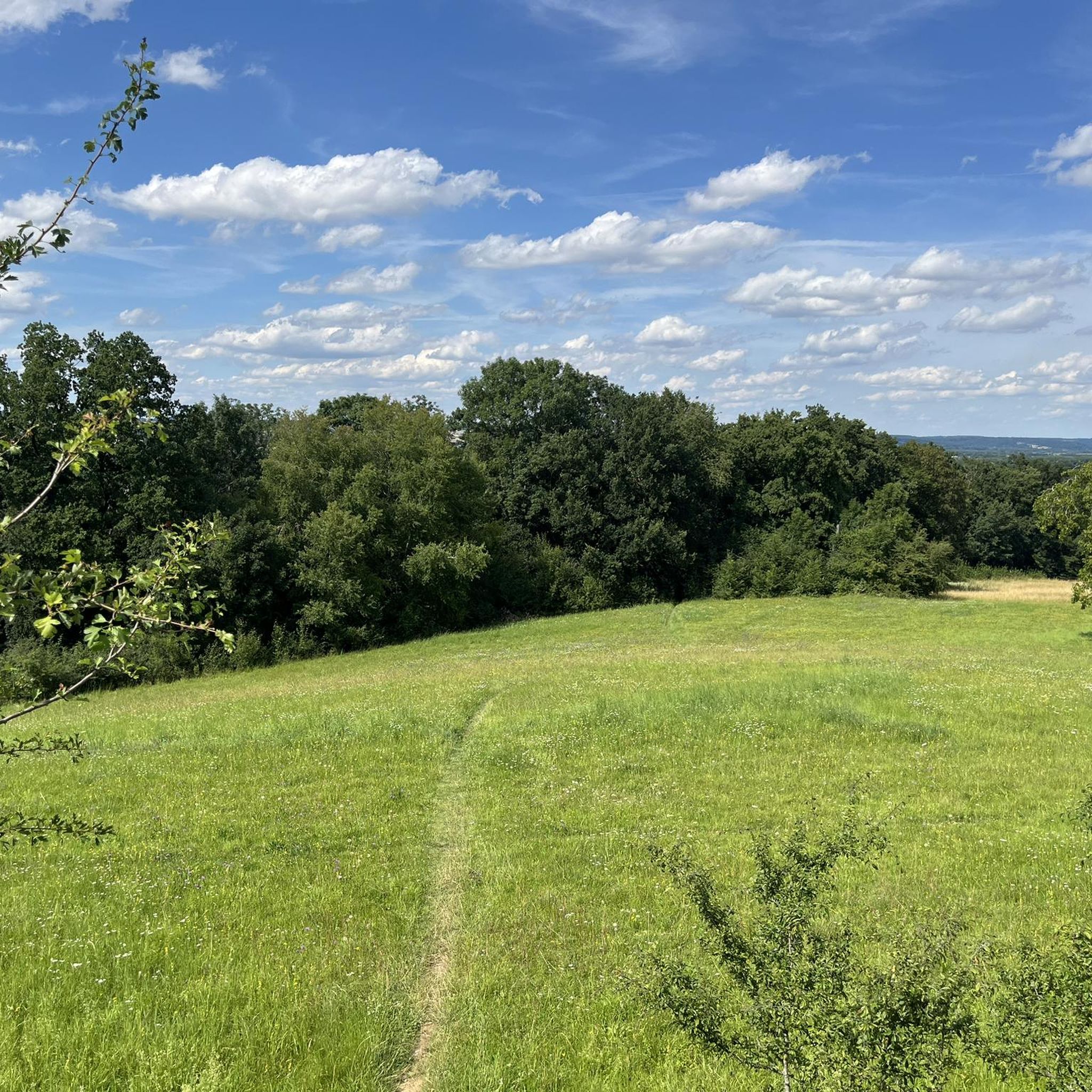
Hiking trails in Ehemaliger Standortübungsplatz Landshut Mit Isarleite traverse a diverse landscape on the eastern side of Landshut, along the Isar valley. This former military training ground, now a nature reserve, features wooded slopes known as the "Isarleite" with elevation changes up to 110 meters. Hikers can explore a high plateau offering views, alongside natural forests of sycamore, ash, and beech, flower meadows, and ancient orchards. The area provides a varied terrain for outdoor activities.
Best hiking trails in Ehemaliger…
Last updated: July 5, 2026
4.6
(119)
451
hikers
Moderate hike. Good fitness required. Easily-accessible paths. Suitable for all skill levels.
4.7
(43)
143
hikers
Moderate hike. Good fitness required. Easily-accessible paths. Suitable for all skill levels.

Sign up for free
4.7
(14)
54
hikers
Moderate hike. Good fitness required. Easily-accessible paths. Suitable for all skill levels.
4.4
(21)
124
hikers
Easy hike. Great for any fitness level. Easily-accessible paths. Suitable for all skill levels.
4.5
(21)
72
hikers
Moderate hike. Good fitness required. Easily-accessible paths. Suitable for all skill levels.
Get access to more routes and recommendations from other explorers.
Sign up for free
Already have an account?
Our route recommendations are based on thousands of hikes, rides, and runs completed by other people on komoot.
Start today with a free account
Your next adventure awaits.
Login or Signup
Popular around Ehemaliger Standortübungsplatz Landshut Mit Isarleite
Cycling in Ehemaliger Standortübungsplatz Landshut Mit Isarleite
Road Cycling Routes in Ehemaliger Standortübungsplatz Landshut Mit Isarleite
Gravel biking in Ehemaliger Standortübungsplatz Landshut Mit Isarleite
Running Trails in Ehemaliger Standortübungsplatz Landshut Mit Isarleite
MTB Trails in Ehemaliger Standortübungsplatz Landshut Mit Isarleite
Tips from the Community

Training areas have a special flora and fauna.
3
0

Great view down to Auloh and the Altheim reservoir.
0
0

The former training area developed into a wonderful biotope with many rare plants.
1
0

nature reserve. Very spacious with the best view of the Landshut area
0
0
Extensive nature and forests. Nice view of Landshut.
0
0
Located on the outskirts of Landshut near the Sparkassen Arena. Beautiful nature and forest area with various routes for hiking. best view
0
0

Beautiful, wide, fixed hiking trails on the former site training area, Landshut. Easy hiking trails!
2
0

Frequently Asked Questions
How many hiking trails are available in Ehemaliger Standortübungsplatz Landshut Mit Isarleite?
There are over 700 hiking routes recorded in Ehemaliger Standortübungsplatz Landshut Mit Isarleite, offering a wide range of options for all skill levels. You'll find everything from easy strolls to more challenging moderate hikes.
What kind of terrain can I expect when hiking in Ehemaliger Standortübungsplatz Landshut Mit Isarleite?
The area features diverse terrain, including wooded slopes known as the "Isarleite" with elevation changes up to 110 meters, especially near Burg Trausnitz. You'll also find a beautiful high plateau offering panoramic views, natural forests of sycamore, ash, and beech, as well as flower meadows and ancient orchards. Paths are generally well-maintained, catering to various fitness levels.
Are there any viewpoints or landmarks to discover along the trails?
Yes, a significant attraction is the 6-meter high, accessible Landshut Communication Tower (also known as Aussichtsturm or Plaikaturm), which provides expansive views of the surrounding natural beauty. You can also explore the Former Landshut Military Training Area with Isarleite itself, which is now a nature reserve.
Is Ehemaliger Standortübungsplatz Landshut Mit Isarleite suitable for families with children?
Yes, the area offers well-maintained paths suitable for various fitness levels, including easy family-friendly routes. The diverse landscape with forests, meadows, and the observation tower can make for an engaging experience for children.
Can I bring my dog on the hiking trails?
Yes, dogs are welcome on the hiking trails. However, to protect the sensitive ecosystems and their inhabitants within this nature reserve, visitors with dogs are advised to keep them on a leash year-round.
Are there options for easy or beginner-friendly hikes?
Absolutely. Out of the over 700 routes, more than 500 are classified as easy, making it an excellent destination for beginners or those looking for a relaxed walk. An example of an easy route is the Shepherd's station loop from Ehemaliger Standortübungsplatz Landshut mit Isarleite.
What is the best time of year to go hiking in this area?
The Ehemaliger Standortübungsplatz Landshut Mit Isarleite offers year-round experiences. Spring brings vibrant flower meadows, summer provides lush green forests, autumn showcases beautiful foliage, and even winter offers tranquil, sometimes mystical, walks through its forests and open spaces.
Are there circular hiking routes available?
Yes, many of the trails are designed as circular routes, allowing you to start and end at the same point. For instance, the Landshut Ridge Trail – Forest path near Landshut loop from Hochschule für angewandte Wissenschaften Landshut is a popular circular option.
What kind of wildlife might I encounter?
As a nature reserve, the area is rich in biodiversity. You might spot amphibians like the yellow-bellied toad and great crested newt, various bird species, butterflies, nearly 200 species of wild bees, and beetles like the German tiger beetle. The diverse habitats, including forests, meadows, and even small water holes, support this rich fauna.
How can I reach the hiking trails by public transport or car?
The area is located on the eastern side of Landshut. For public transport, you would typically aim for Landshut and then connect to local bus services that serve the eastern parts of the city near the Isarleite. If traveling by car, there are usually designated parking areas near popular trailheads, though specific parking information may vary by starting point.
What makes the "Isarleite" area unique?
The "Isarleite" refers to the wooded slopes along the right bank of the Isar valley, characterized by significant elevation changes and a mosaic of natural forests. This area, combined with the high plateau, flower meadows, and ancient orchards, creates a unique and ecologically diverse landscape that was designated as a nature reserve in 2001.
What do other hikers say about the trails in Ehemaliger Standortübungsplatz Landshut Mit Isarleite?
The routes in Ehemaliger Standortübungsplatz Landshut Mit Isarleite are highly rated by the komoot community, with an average score of 4.6 stars from nearly 2,000 reviews. Hikers often praise the varied forest scenery, the panoramic views from the high plateau, and the tranquil atmosphere of the nature reserve.
Are there any historical points of interest in the area?
Yes, the area's past as a military training ground adds a unique historical dimension. While no longer active, remnants such as the Former Tank Wash Facility, Landshut offer a glimpse into its former use. Interestingly, the dynamic activities of the past military operations inadvertently created conditions that benefited certain plant and animal species, contributing to the area's current biodiversity.
Most popular routes in Ehemaliger Standortübungsplatz Landshut Mit Isarleite
Most popular attractions in Ehemaliger Standortübungsplatz Landshut Mit Isarleite

Get inspired with the komoot mobile app


Explore more
Browse the best Hikes in other regions.
