The best mountain hikes in Naturschutzgebiet Steirisches Dachsteinplateau
4.7
(250)
2,986
hikers
79
hikes
Mountaineering routes in Naturschutzgebiet Steirisches Dachsteinplateau traverse an alpine landscape characterized by high plateaus and prominent limestone formations. The region features a mix of challenging ascents and varied terrain, offering extensive views across the Austrian Alps. Elevations typically exceed 200 meters, providing significant vertical gain for mountaineering activities.
Best mountaineering routes in Naturschutzgebiet Steirisches Dachsteinplateau
- The most popular mountaineering route is Stoderzinken Summit – Friedenskircherl Stoderzinken loop from Gradenbachfall, a 2.2 miles (3.6 km) trail that takes 1 hour…
Last updated: July 5, 2026
4.8
(25)
191
hikers
Hard mountaineering route. Good fitness required. Sure-footedness, sturdy shoes and alpine experience required.
4.8
(21)
163
hikers
Hard mountaineering route. Great for any fitness level. Sure-footedness, sturdy shoes and alpine experience required.

Sign up for free
4.6
(8)
59
hikers
Hard mountaineering route. Good fitness required. Sure-footedness, sturdy shoes and alpine experience required.
4.3
(3)
16
hikers
Hard mountaineering route. Good fitness required. Sure-footedness, sturdy shoes and alpine experience required.
5.0
(1)
5
hikers
Moderate mountaineering route. Good fitness required. Mostly accessible paths. Sure-footedness required.
Get access to more routes and recommendations from other explorers.
Sign up for free
Already have an account?
Our route recommendations are based on thousands of hikes, rides, and runs completed by other people on komoot.
Start today with a free account
Your next adventure awaits.
Login or Signup
Popular around Naturschutzgebiet Steirisches Dachsteinplateau
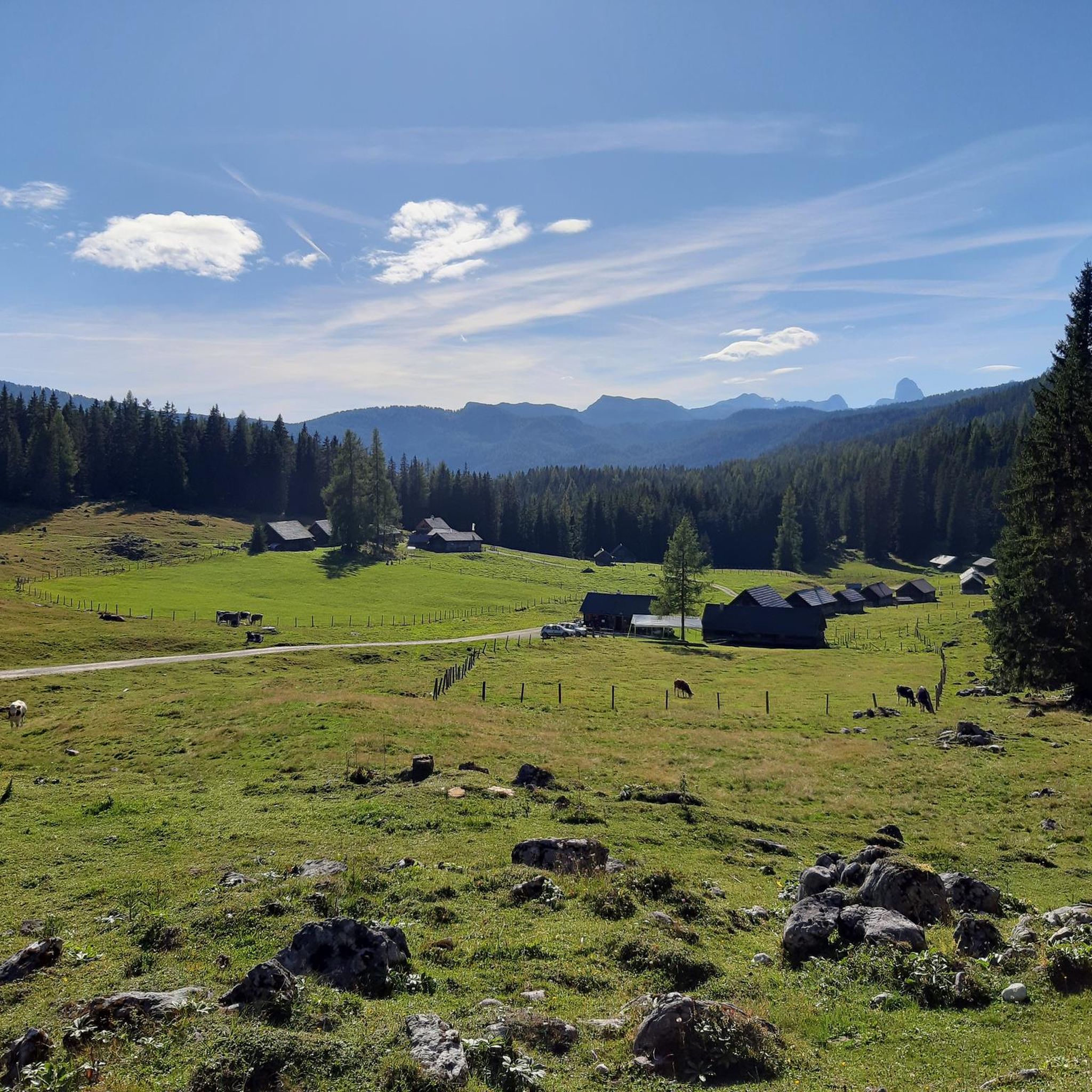
Hiking in Naturschutzgebiet Steirisches Dachsteinplateau
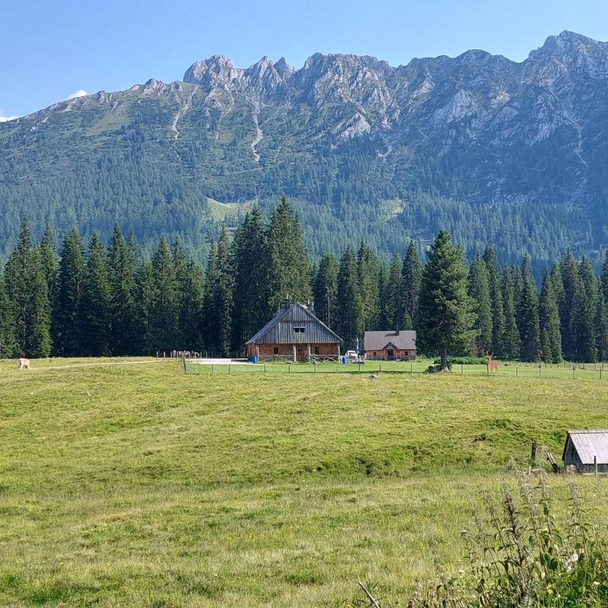
MTB Trails in Naturschutzgebiet Steirisches Dachsteinplateau
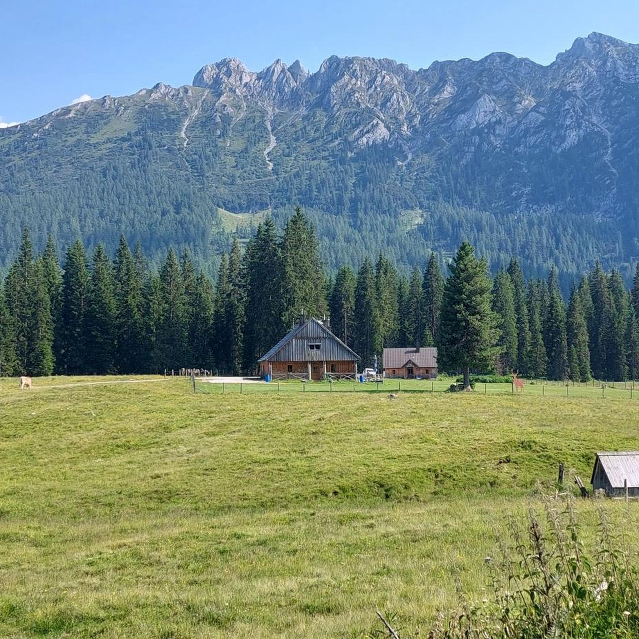
Cycling in Naturschutzgebiet Steirisches Dachsteinplateau
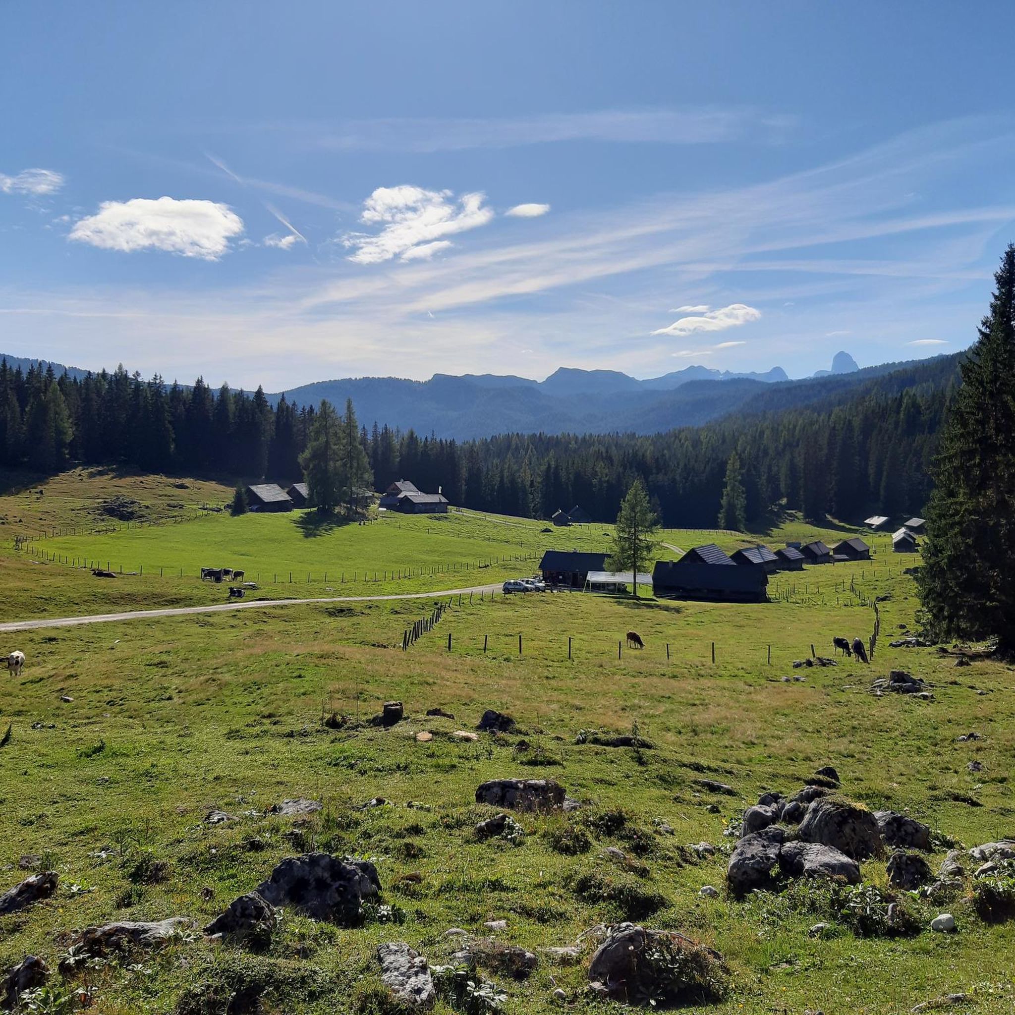
Running Trails in Naturschutzgebiet Steirisches Dachsteinplateau
Road Cycling Routes in Naturschutzgebiet Steirisches Dachsteinplateau
Gravel biking in Naturschutzgebiet Steirisches Dachsteinplateau
Tips from the Community

The Rossfeld parking area on the Stoderzinken mountain is a great starting point for your hikes, located directly on the toll road, the Stoderzinken Panorama Road. If you're coming from Gröbming, it's only about a 13-kilometer drive. The parking area is right next to the popular Rosemi Alm mountain hut, a perfect spot for a break. From here, you can immediately set off on the trail to the Stoderzinken summit, where a magnificent view awaits you! The Friedenskircherl (Peace Chapel) is also nearby and invites you to a moment of quiet reflection. The surrounding area is quite picturesque and full of beautiful hiking trails, ideal for all ages. Don't forget to pack plenty of provisions, as nature has a lot to offer! So, lace up your hiking boots and discover the stunning mountain scenery around the Stoderzinken!
1
0

When descending from the Stoderzinken you have a breathtaking view of the Dachstein Mountains.
0
0


Here you can find delicious apple strudel
0
0
Good starting point for hikes, but you have to use the toll road (20 euros).
0
0

you can park here ----- on the Stoderzinken you can enjoy a great view and often watch paragliders taking off
0
0

Only the Flora via ferrata can be done without via ferrata equipment, provided that you have sturdy shoes and are sure-footed. All others require the necessary equipment, but are also more fun 😉. Very nice views included👍. At the top, near the "normal" summit path, there is a suspension bridge that belongs to the climbing garden. This can be easily avoided and was often the location for the ZDF series “The Mountain Rescuers”.
0
0
The free use of the toll road with the DsC is only valid in the low season. In the high season, the bus shuttle to this parking lot is included in the card.
2
0
Frequently Asked Questions
What is the overall difficulty level of mountaineering routes in Naturschutzgebiet Steirisches Dachsteinplateau?
The region offers a wide range of difficulties, with the majority of routes being challenging. Out of 84 available mountaineering tours, 65 are classified as difficult, 18 as moderate, and 1 as easy. This indicates a landscape primarily suited for experienced mountaineers, though some accessible options exist.
Are there any beginner-friendly mountaineering routes in the area?
While most routes are challenging, there is at least one easy mountaineering route available. For those looking for a moderate introduction, consider routes like To the Friedenskircherl chapel – Peter Rosegger Monument loop from Gradenbachfall, which is 1.5 miles (2.4 km) long and explores the area around the Friedenskircherl chapel.
What are some of the longer or more challenging mountaineering routes in Naturschutzgebiet Steirisches Dachsteinplateau?
For experienced mountaineers seeking a significant challenge, the Ausseer Zinken Summit loop from Bad Aussee is a demanding option. This difficult route covers 7.7 miles (12.3 km) with over 1200 meters of elevation gain, typically requiring more than 7 hours to complete.
Are there any circular mountaineering trails in Naturschutzgebiet Steirisches Dachsteinplateau?
Yes, many routes in the region are designed as loops. For example, the Stoderzinken Summit – Friedenskircherl Stoderzinken loop from Gradenbachfall is a difficult 2.2-mile (3.6 km) circular route. Another option is the moderate Friedenskircherl Stoderzinken – Stoderzinken Summit loop from Gradenbachfall, which is 4.1 miles (6.6 km) long.
What kind of scenic viewpoints can I expect along the mountaineering routes?
Mountaineering in Naturschutzgebiet Steirisches Dachsteinplateau offers extensive views across the Austrian Alps. Many routes lead to prominent summits, such as the Hochmühleck Summit or the Ausseer Zinken Summit, providing panoramic vistas of the surrounding alpine landscape and limestone formations.
Are there mountain huts available for rest or overnight stays near the mountaineering routes?
Yes, there are mountain huts in the vicinity that can serve as resting points or for overnight stays. Notable options include Miesbodenalm and Brünner Hütte, which are popular stops for mountaineers exploring the Dachsteinplateau.
What is the best season for mountaineering in Naturschutzgebiet Steirisches Dachsteinplateau?
The prime season for mountaineering in Naturschutzgebiet Steirisches Dachsteinplateau is typically from late spring to early autumn (June to September), when trails are generally free of snow and weather conditions are most stable. However, always check local weather forecasts and trail conditions before heading out, as alpine weather can change rapidly.
What should I pack for a mountaineering trip in this region?
Given the alpine environment and potential for rapid weather changes, it's essential to pack layers of clothing, waterproof and windproof outer shells, sturdy mountaineering boots, sufficient water and food, a map and compass (or GPS device), sun protection, and a first-aid kit. For more challenging routes, consider bringing via ferrata equipment or crampons/ice axe depending on conditions.
What do other mountaineers enjoy most about the routes in Naturschutzgebiet Steirisches Dachsteinplateau?
The routes in Naturschutzgebiet Steirisches Dachsteinplateau are highly rated by the komoot community, with an average score of 4.7 stars from over 250 reviews. Mountaineers frequently praise the extensive views, the challenging yet rewarding ascents, and the unique alpine landscape characterized by prominent limestone formations.
Are there any interesting landmarks or points of interest to explore along the routes?
Beyond the natural beauty, you can discover unique landmarks. The Notgasse Rock Inscriptions offer a glimpse into ancient history, while the Friedenskircherl chapel, featured in routes like To the Friedenskircherl chapel – Peter Rosegger Monument loop from Gradenbachfall, provides a serene and picturesque stop.
How many mountaineering routes are available in Naturschutzgebiet Steirisches Dachsteinplateau?
There are over 80 mountaineering routes documented in Naturschutzgebiet Steirisches Dachsteinplateau, offering a wide variety of experiences for different skill levels, from moderate paths to advanced technical mountaineering.
Is public transport an option to reach trailheads in Naturschutzgebiet Steirisches Dachsteinplateau?
While specific public transport options vary by trailhead, the region is generally accessible. It's advisable to research local bus services or shuttle connections to specific starting points, especially for routes further into the nature reserve. Planning ahead is key for car-free access.
Are there any less crowded mountaineering routes for a more solitary experience?
While popular routes like those around Stoderzinken can see more visitors, the vastness of Naturschutzgebiet Steirisches Dachsteinplateau means many trails offer solitude. Exploring routes that are not explicitly mentioned as 'most popular' or venturing out during off-peak times (early mornings, weekdays) can lead to a more tranquil experience.
Most popular routes in Naturschutzgebiet Steirisches Dachsteinplateau
Most popular attractions in Naturschutzgebiet Steirisches Dachsteinplateau

Get inspired with the komoot mobile app


Explore more
Browse the best Mountain Hikes & Routes in other regions.
