The best walks and hikes in Naturschutzgebiet Steirisches Dachsteinplateau
4.5
(10602)
65,514
hikers
1,008
hikes
Hiking in Naturschutzgebiet Steirisches Dachsteinplateau offers diverse terrain characterized by a dramatic karst massif, including rare formations and extensive cave systems. The region features high-alpine landscapes with glaciers, particularly around the Hoher Dachstein, alongside ancient larch and Swiss stone pine forests. Hikers will encounter varied topography, from gentle alpine pastures to rugged limestone rock faces and U-shaped valleys.
Best hiking trails in Naturschutzgebiet Steirisches Dachsteinplateau
- The most popular hiking route is Peace Chapel Stoderzinken – Stoderzinken summit cross loop from…
Last updated: June 26, 2026
4.9
(360)
1,977
hikers
Moderate hike. Great for any fitness level. Mostly accessible paths. Sure-footedness required.
4.6
(18)
77
hikers
5.22km
01:43
220m
220m
Hike the moderate 3.2-mile Stoderalm circular route to the Gröbminger Blick for panoramic views of the Gröbminger basin and Dachstein mounta

Sign up for free
4.8
(11)
41
hikers
Hard hike. Very good fitness required. Mostly accessible paths. Sure-footedness required.
4.5
(14)
48
hikers
Hard hike. Very good fitness required. Mostly accessible paths. Sure-footedness required.
4.7
(7)
24
hikers
10.7km
04:02
530m
530m
Moderate hike. Good fitness required. Mostly accessible paths. Sure-footedness required.
Get access to more routes and recommendations from other explorers.
Sign up for free
Already have an account?
Our route recommendations are based on thousands of hikes, rides, and runs completed by other people on komoot.
Start today with a free account
Your next adventure awaits.
Login or Signup
Popular around Naturschutzgebiet Steirisches Dachsteinplateau
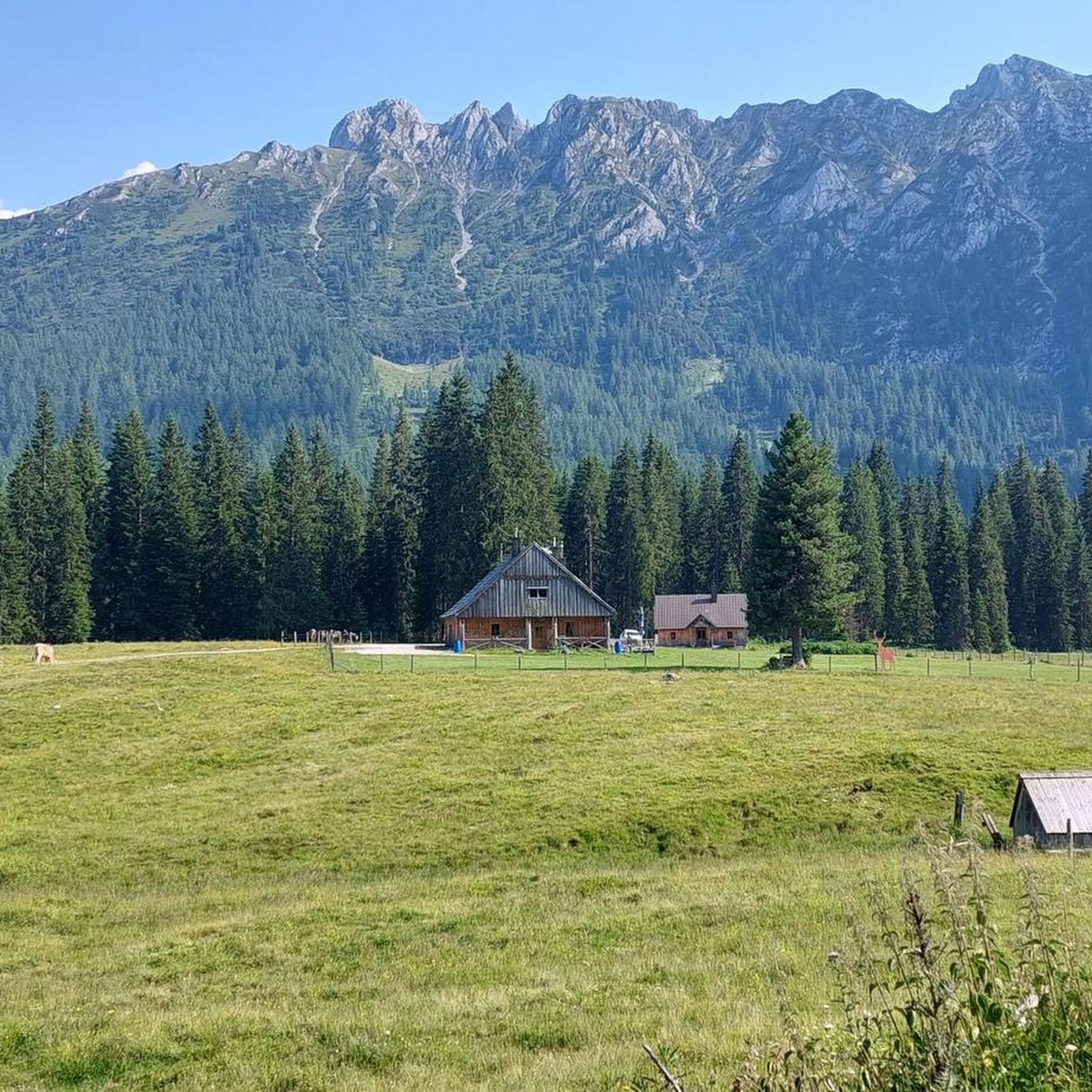
MTB Trails in Naturschutzgebiet Steirisches Dachsteinplateau
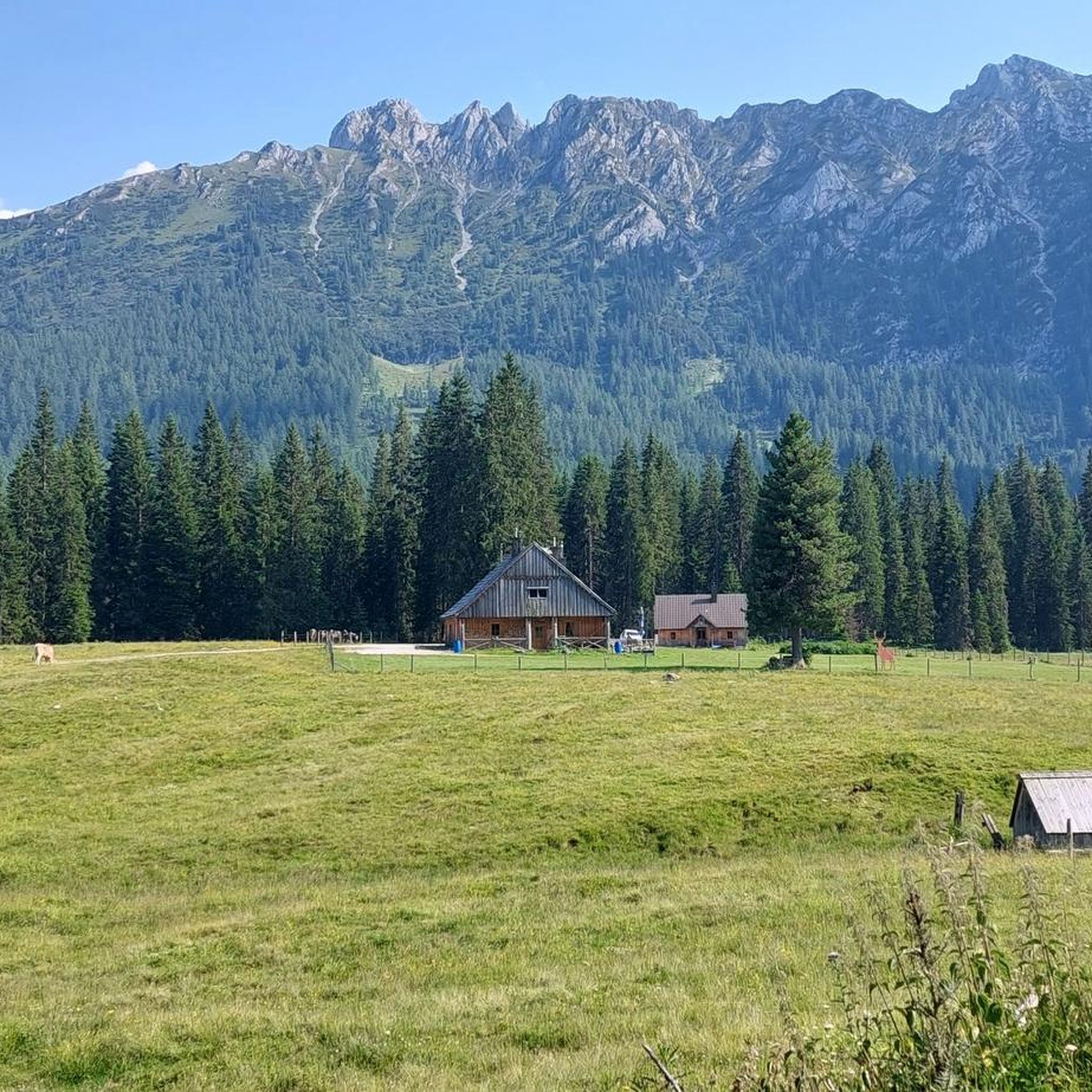
Cycling in Naturschutzgebiet Steirisches Dachsteinplateau
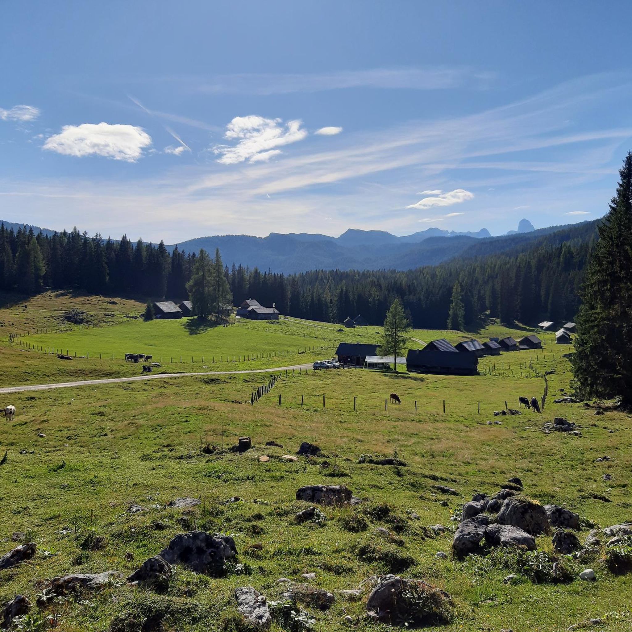
Running Trails in Naturschutzgebiet Steirisches Dachsteinplateau
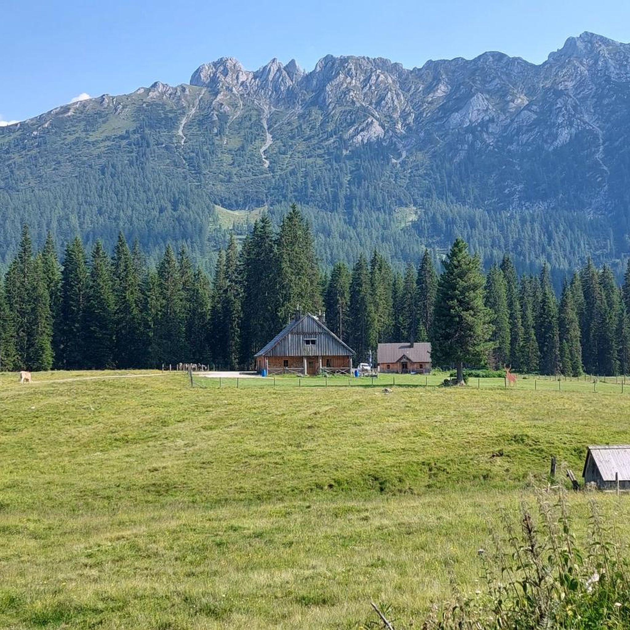
Road Cycling Routes in Naturschutzgebiet Steirisches Dachsteinplateau

Mountain Hikes in Naturschutzgebiet Steirisches Dachsteinplateau
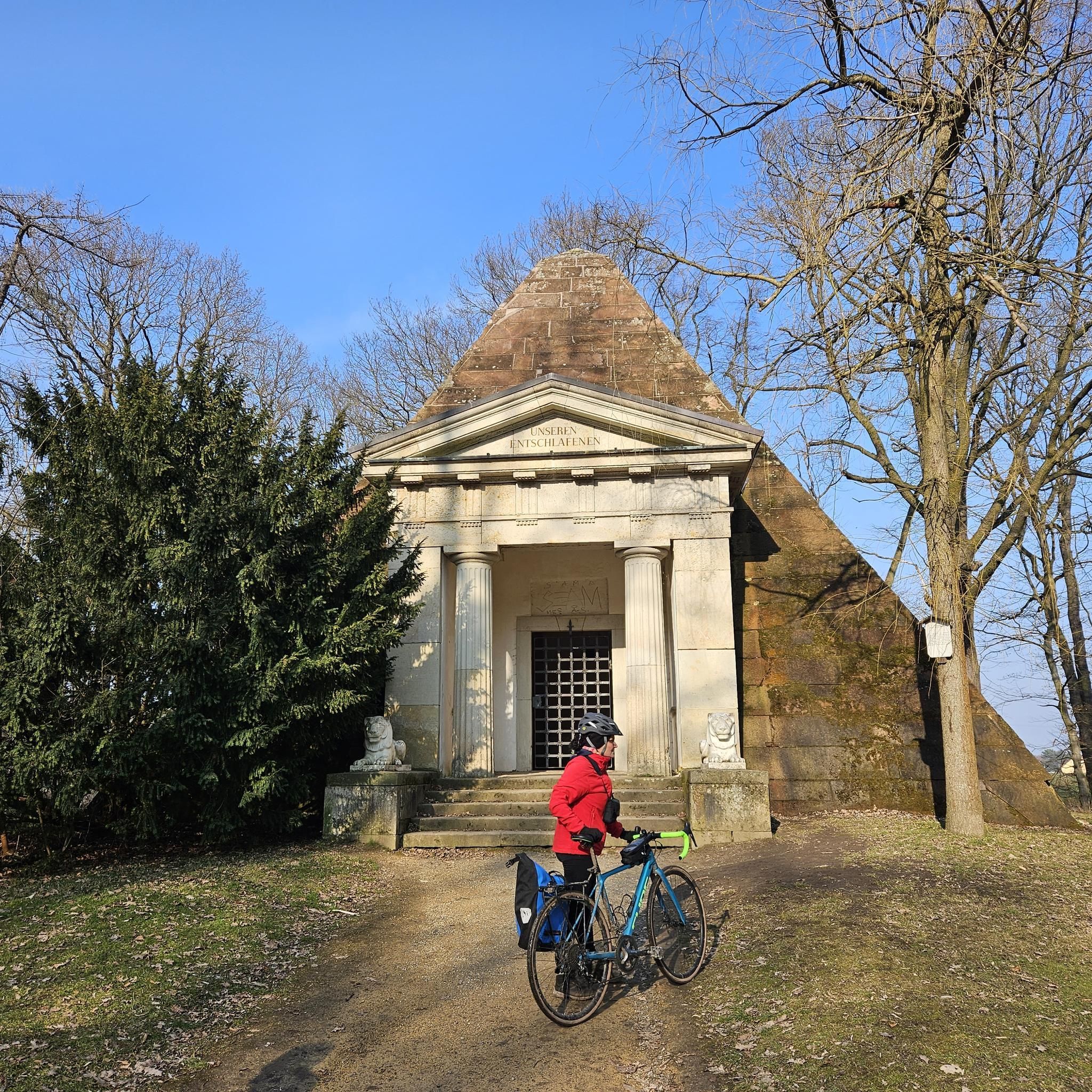
Gravel biking in Naturschutzgebiet Steirisches Dachsteinplateau
Tips from the Community

Cozy, light and beautiful
0
0

Some paths are very narrow and steep.
0
0
At the beginning there are only the stone towers for orientation.
0
0

A beautiful lake nestled in the forest. It can be reached in about 3 to 3.5 hours from the valley in Weissenbach (alternatively, via Kufstein, a 3.5-hour hike). If the weather is good, don't forget your swimsuit; the water is crystal clear and, for a mountain lake, pleasantly warm. A refreshing dip in the water is definitely worth it, and you'll almost always have the lake to yourself.
0
0

Very beautiful trail. You should be free from vertigo.
0
0

When descending from the Stoderzinken you have a breathtaking view of the Dachstein Mountains.
0
0

At the end you will be rewarded with a magnificent view.
1
0
This route is definitely worth it.
0
0
Frequently Asked Questions
What kind of terrain can I expect when hiking in Naturschutzgebiet Steirisches Dachsteinplateau?
The Naturschutzgebiet Steirisches Dachsteinplateau features incredibly diverse terrain. You'll encounter dramatic karst formations, including hollows and sinkholes, alongside high-alpine landscapes with glaciers, particularly around the Hoher Dachstein. The region also offers gentle alpine pastures, ancient larch and Swiss stone pine forests, wetlands, and towering limestone rock faces. U-shaped valleys, formed by glaciers, further shape the landscape.
Are there hiking trails suitable for families with children?
Yes, there are several family-friendly options. You can find accessible paths and nature trails, such as the Moosalm children's hiking trail, which offers interactive activities. Another option for outdoor fun is Gaudi Golf in Annaberg/Astauwinkel.
What are the best times of year to go hiking in the Naturschutzgebiet Steirisches Dachsteinplateau?
The ideal time for hiking in Naturschutzgebiet Steirisches Dachsteinplateau is generally from June to September. During these months, conditions are most favorable, though it's always wise to be prepared for rapid weather changes, especially in high-alpine areas.
What are some notable natural features or landmarks to look out for on the trails?
The region is rich in natural wonders and landmarks. You can explore unique karst formations and extensive cave systems like the Giant Ice Cave, Mammoth Cave, and Koppenbrüller Cave. The Hallstatt glacier is another significant feature. Along some trails, you might also encounter the Notgasse Rock Inscriptions, a fascinating historical site. The Dachstein Kircherl, a mountaineering memorial, is also a popular destination.
Are there any circular hiking routes in the area?
Yes, the Naturschutzgebiet Steirisches Dachsteinplateau offers several circular routes. For a challenging multi-day adventure, there's the Dachstein High Altitude Circular Trail. If you're looking for a shorter loop, consider the Stoderzinken Summit Loop Trail, which offers varied terrain around the summit.
What do other hikers enjoy most about hiking in Naturschutzgebiet Steirisches Dachsteinplateau?
The area is highly rated by the komoot community, with an average score of 4.5 stars from over 10,000 reviews. Hikers frequently praise the diverse terrain, from gentle alpine pastures to challenging high-alpine routes, and the stunning views of the dramatic karst landscapes and glaciers. Many appreciate the extensive network of well-marked trails and the unique natural features.
Are there any mountain huts or places to stay overnight along the trails?
Yes, numerous mountain huts are available to provide rest and shelter along the trails. Notable examples include the Guttenberghaus and Hofpürgl hut, which offer welcoming places to recharge, often with panoramic views, and provide options for cozy overnight stays.
What are some of the more challenging hiking options available?
For experienced and sure-footed hikers, the region offers difficult routes such as the Stoderzinken summit cross – View of the Dachstein loop from Gradenbachfall, which covers nearly 15 km with significant elevation gain. The multi-stage Dachstein High Altitude Circular Trail is another demanding alpine loop for those seeking a greater challenge.
Are there any themed trails that provide information about the region?
Yes, the Naturschutzgebiet features special thematic trails designed to offer insights into its natural wonders. These include the "Nature-Trail" from Gjaidalm to Wiesberghaus and Simonyhütte, the "Glacier-Study Trail" beneath the Hallstatt Glacier, and the "Karst Trail" from Krippenstein via Heilbronn Cross to Gjaidalm. Information boards along these paths describe alpine flora and natural phenomena.
How many hiking trails are available in Naturschutzgebiet Steirisches Dachsteinplateau?
The Naturschutzgebiet Steirisches Dachsteinplateau boasts an extensive network of over 1000 hiking trails, offering a wide array of experiences for various skill levels, from easy walks to challenging high-alpine routes.
What kind of wildlife might I encounter while hiking?
The region is known for its diverse flora and fauna. While hiking, you might spot rare species such as the brown bear and capercaillie, among other alpine wildlife. The varied habitats, including forests, alpine pastures, and wetlands, support a rich biodiversity.
Are there any specific viewpoints or summits that offer panoramic views?
Many trails lead to breathtaking viewpoints. The Peace Chapel Stoderzinken – Stoderzinken summit cross loop from Gradenbachfall leads to a summit cross with panoramic views. Other summits like Hochmühleck Summit and Ausseer Zinken Summit also offer expansive mountain vistas.
Most popular routes in Naturschutzgebiet Steirisches Dachsteinplateau
Most popular attractions in Naturschutzgebiet Steirisches Dachsteinplateau

Get inspired with the komoot mobile app


Explore more
Browse the best Hikes in other regions.
