Isarauen Zwischen Schäftlarn Und Bad Tölz
Isarauen Zwischen Schäftlarn Und Bad Tölz
The best running trails in Isarauen Zwischen Schäftlarn Und Bad Tölz
4.4
(968)
18,012
runners
874
runs
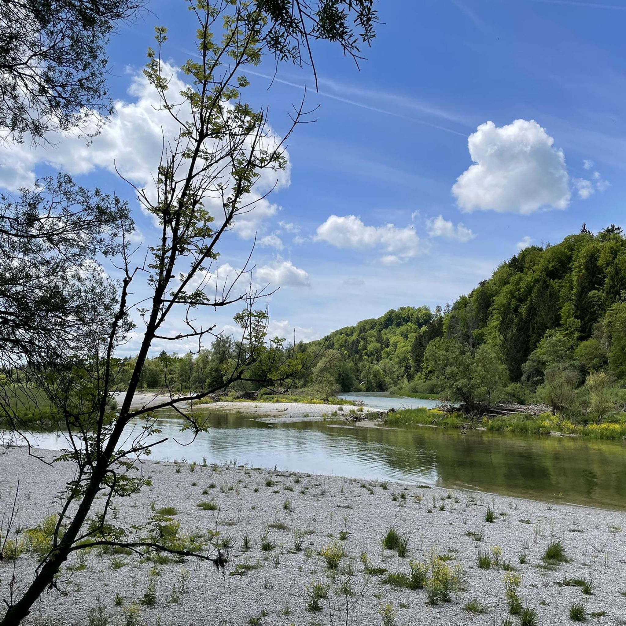
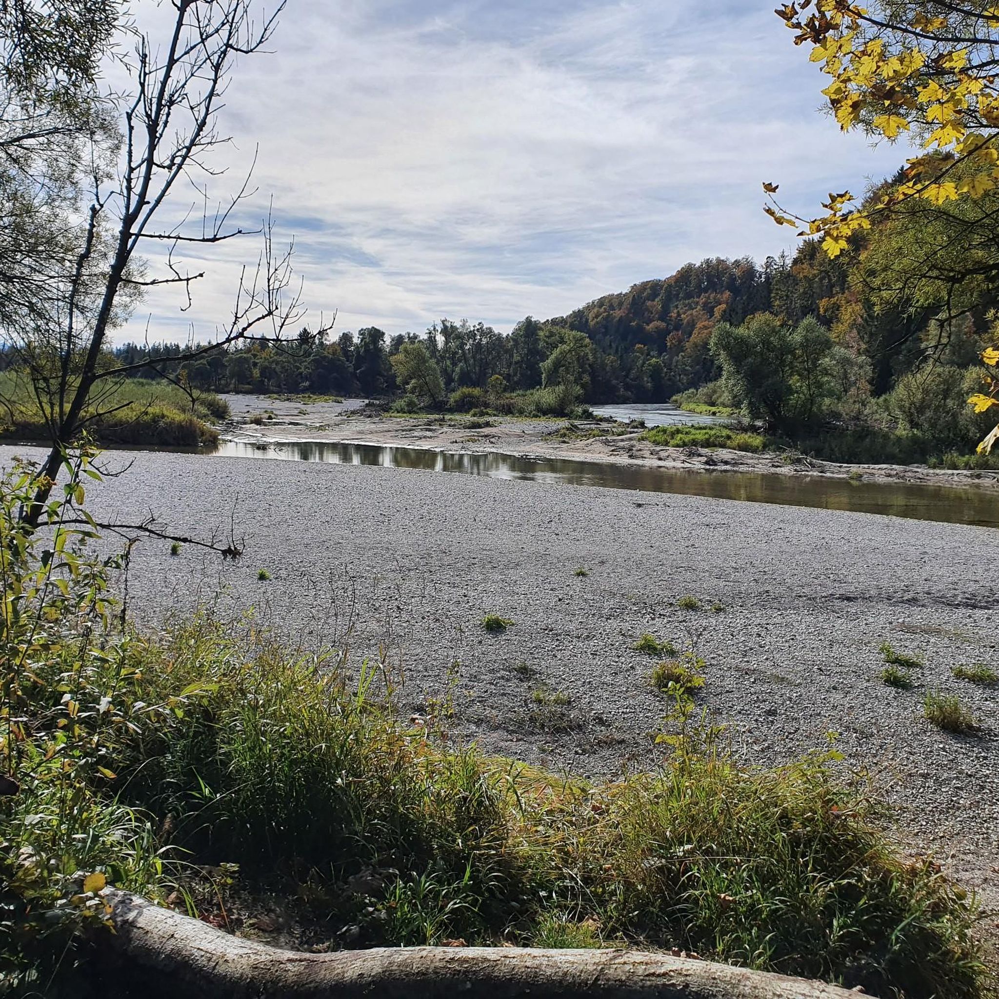
Jogging routes in Isarauen Zwischen Schäftlarn Und Bad Tölz traverse a near-natural wild river landscape, characterized by the untamed Isar river, extensive gravel banks, and diverse vegetation. The region features a network of paths through forests and meadows, offering varied terrain for runners. Parallel to the Isar, the Isarwerkkanal provides additional scenic routes, with the picturesque Ickinger Stausee nestled nearby. This area is a designated nature reserve, preserving a unique floodplain ecosystem.
Best jogging routes in Isarauen Zwischen Schäftlarn Und…
Last updated: July 10, 2026
4.8
(5)
124
runners
Moderate run. Good fitness required. Mostly paved surfaces. Suitable for all skill levels.
5.0
(1)
60
runners
Hard run. Very good fitness required. Mostly paved surfaces. Suitable for all skill levels.

Sign up for free
56
runners
Moderate run. Good fitness required. Mostly paved surfaces. Suitable for all skill levels.
5.0
(4)
45
runners
6.09km
00:43
50m
50m
Hard run. Good fitness required. Sure-footedness, sturdy shoes and alpine experience required.
4.1
(11)
97
runners
6.51km
00:41
20m
20m
Moderate run. Good fitness required. Mostly paved surfaces. Suitable for all skill levels.
Get access to more routes and recommendations from other explorers.
Sign up for free
Already have an account?
Our route recommendations are based on thousands of hikes, rides, and runs completed by other people on komoot.
Start today with a free account
Your next adventure awaits.
Login or Signup
Popular around Isarauen Zwischen Schäftlarn Und Bad Tölz
Cycling in Isarauen Zwischen Schäftlarn Und Bad Tölz
Road Cycling Routes in Isarauen Zwischen Schäftlarn Und Bad Tölz
Hiking in Isarauen Zwischen Schäftlarn Und Bad Tölz
MTB Trails in Isarauen Zwischen Schäftlarn Und Bad Tölz
Mountain Hikes in Isarauen Zwischen Schäftlarn Und Bad Tölz
Gravel biking in Isarauen Zwischen Schäftlarn Und Bad Tölz
Tips from the Community

Very smooth gravel path, ideal for walking, running and cycling
0
0


A very nice bike path
3
0
Very interesting
3
0
A very nice bike path
3
0
Frequently Asked Questions
How many running routes are available in the Isarauen between Schäftlarn and Bad Tölz?
The region offers a vast network of over 800 running routes. These include a variety of options, from easy riverside paths to more challenging trails through forests and meadows, catering to different fitness levels.
What makes the Isarauen a unique place for running?
The Isarauen are a designated nature reserve, preserving one of the last near-natural wild river landscapes in Central Europe. Runners can experience the untamed Isar river, extensive gravel banks, and diverse vegetation. The dynamic environment, shaped by natural processes, offers a truly immersive nature experience.
Are there running routes suitable for families or beginners?
Yes, the Isarauen offer many accessible options. There are over 130 easy routes, perfect for families or those new to running. These paths often feature minimal elevation gain and follow the river, providing a pleasant and gentle experience.
Can I bring my dog on the running trails in this area?
Many trails in the Isarauen are dog-friendly, allowing you to enjoy a run with your canine companion. However, as it's a nature reserve, it's crucial to keep dogs on a leash, especially during breeding season (March 15 to August 10), to protect endangered bird species on the gravel banks. Always respect local signage.
What kind of natural features or landmarks can I see while running?
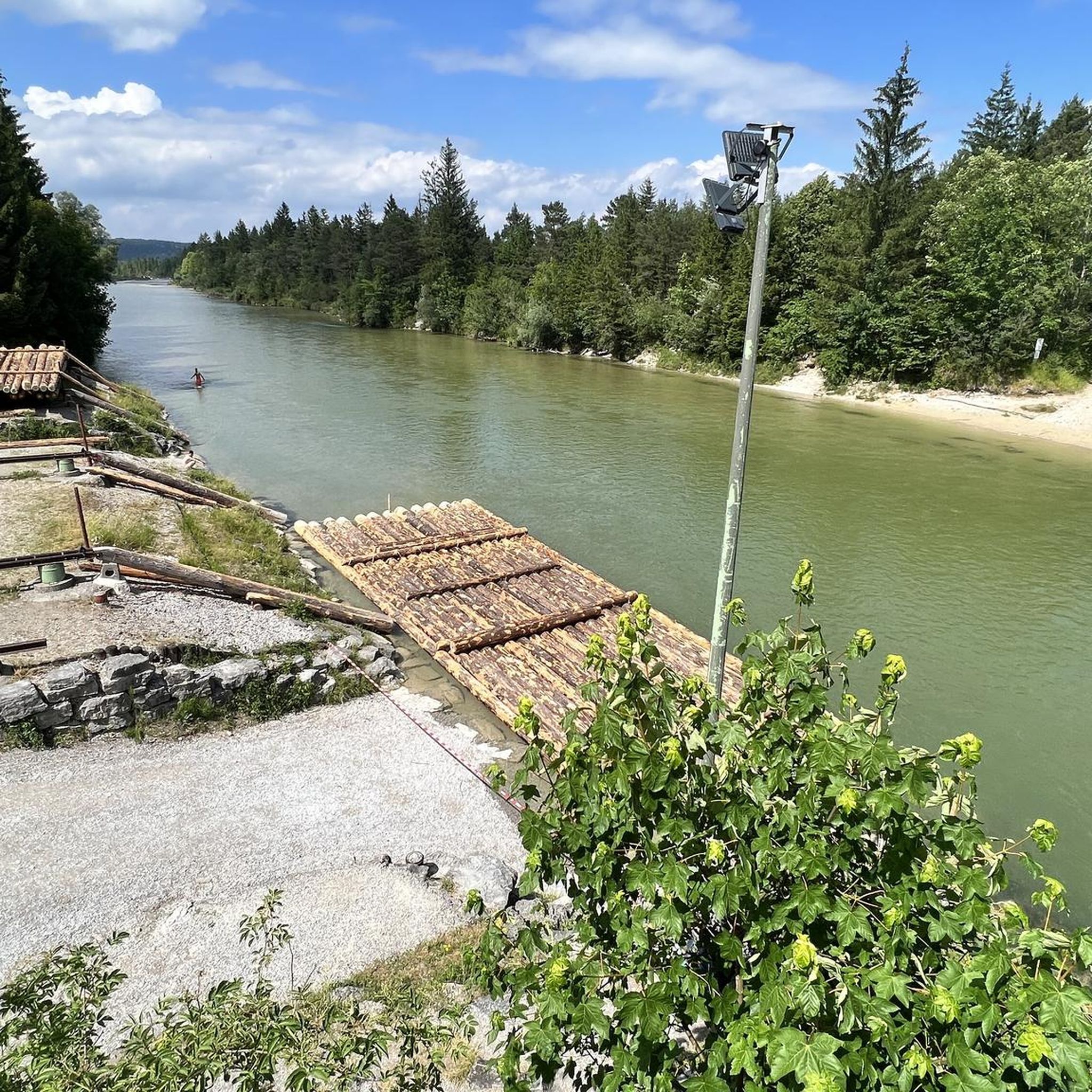
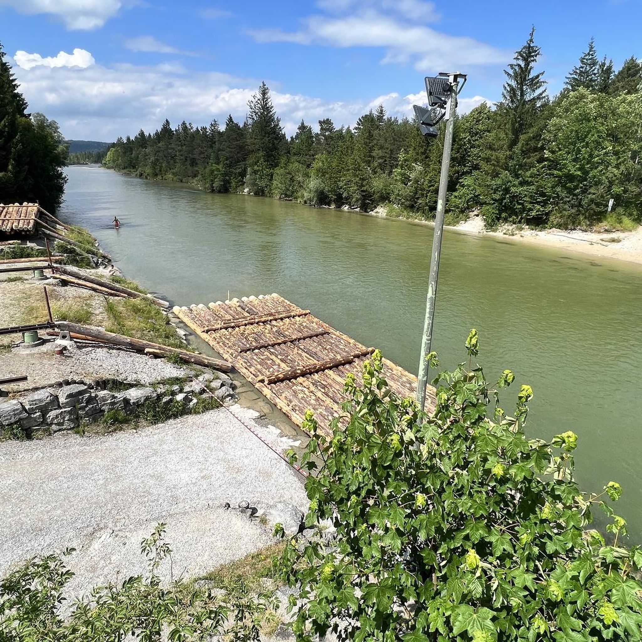
Runners can discover a variety of natural and historical points of interest. You might pass by the picturesque Isarwerk Canal at Icking Reservoir, the historic Icking Weir, or the expansive Isar Canal at Pupplinger Au. The region is also home to significant natural monuments like the Confluence of the Loisach and Isar rivers.
Are there any circular running routes in the Isarauen?
Absolutely. Many routes are designed as loops, allowing you to start and finish at the same point. For example, the Isar-Werkkanal – Icking Weir loop from Icking is a popular 6.1 km circular trail that takes you through scenic areas.
What do other runners enjoy most about the routes here?
The routes in the Isarauen are highly rated by the komoot community, with an average score of 4.4 stars from over 900 reviews. Runners frequently praise the beautiful wild river landscapes, the tranquility of the protected natural environment, and the varied terrain that includes both riverside paths and forest trails.
When is the best time of year to go running in the Isarauen?
The Isarauen are beautiful year-round. Spring and autumn offer pleasant temperatures and vibrant scenery. Summer is ideal for early morning or late afternoon runs to avoid the heat, while winter can provide a serene, snow-dusted landscape, though some paths might be icy. Always check local conditions before heading out.
Are there longer, more challenging running routes for experienced runners?
Yes, for those seeking a greater challenge, there are over 160 difficult routes available. An example is the Idyllic Isar – Forest path by the Isar loop from Geretsried, a demanding 15.5 km path that offers a longer running experience through the forest alongside the Isar.
How can I access the running routes, and is parking available?
The Isarauen are generally well-served for access. Many starting points for routes are near towns like Schäftlarn, Icking, or Geretsried, where public transport connections might be available. Parking is often found near popular trailheads or villages adjacent to the nature reserve. It's advisable to check specific route details for parking information.
Are there any less crowded running options in the Isarauen?
While popular, the extensive network of trails means you can often find quieter sections. Exploring routes slightly off the main river paths, or visiting during off-peak hours (early mornings or weekdays), can lead to a more solitary running experience amidst the natural beauty of the floodplain forests and meadows.
Most popular routes in Isarauen Zwischen Schäftlarn Und Bad Tölz
Most popular attractions in Isarauen Zwischen Schäftlarn Und Bad Tölz

Get inspired with the komoot mobile app


Explore more
Browse the best Running Trails & Routes in other regions.
