Isarauen Zwischen Schäftlarn Und Bad Tölz
Isarauen Zwischen Schäftlarn Und Bad Tölz
The best mountain hikes in Isarauen Zwischen Schäftlarn Und Bad Tölz
4.3
(297)
2,513
hikers
55
hikes
Mountaineering routes in Isarauen Zwischen Schäftlarn Und Bad Tölz traverse a landscape characterized by the Isar river valley, interspersed with forested hills and lower mountain ranges. The region features varied terrain, from riverside paths to ascents offering elevated views. Elevations in the area provide opportunities for significant climbs, particularly around the towns of Bad Tölz and Wolfratshausen.
Best mountaineering routes in Isarauen Zwischen Schäftlarn Und Bad Tölz
- The most popular mountaineering route is Marien Bridge – Icking Weir loop from…
Last updated: July 5, 2026
2
hikers
13.8km
03:38
120m
120m
Moderate mountaineering route. Good fitness required. Easily-accessible paths. Suitable for all skill levels.
4.3
(8)
59
hikers
14.9km
04:54
610m
610m
Moderate mountaineering route. Good fitness required. Mostly accessible paths. Sure-footedness required.

Sign up for free
4.6
(8)
58
hikers
16.8km
05:39
700m
700m
Hard mountaineering route. Very good fitness required. Mostly accessible paths. Sure-footedness required.
2
hikers
Easy mountaineering route. Great for any fitness level. Easily-accessible paths. Suitable for all skill levels.
11
hikers
17.9km
05:55
700m
700m
Hard mountaineering route. Very good fitness required. Mostly accessible paths. Sure-footedness required.
Get access to more routes and recommendations from other explorers.
Sign up for free
Already have an account?
Our route recommendations are based on thousands of hikes, rides, and runs completed by other people on komoot.
Start today with a free account
Your next adventure awaits.
Login or Signup
Popular around Isarauen Zwischen Schäftlarn Und Bad Tölz
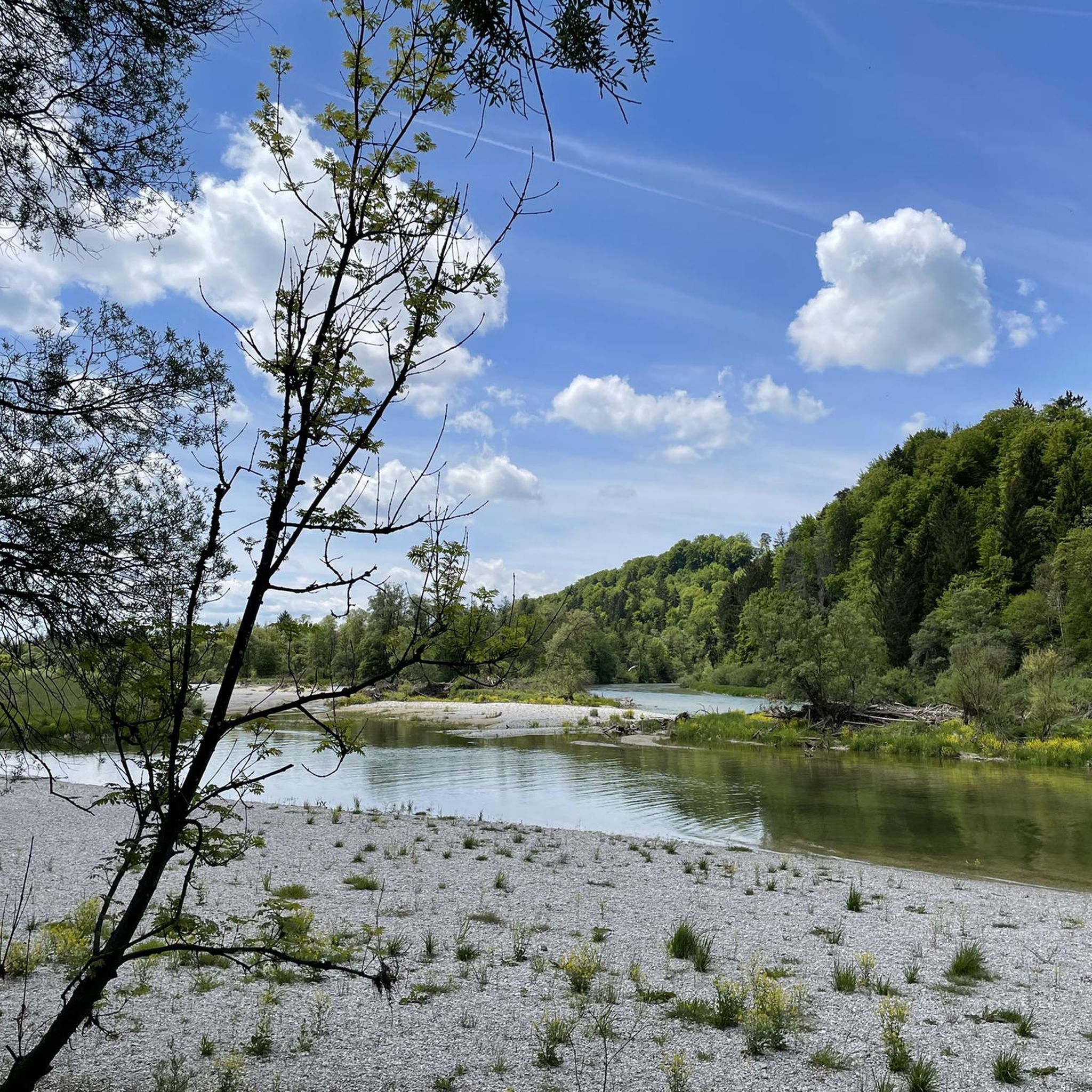
Cycling in Isarauen Zwischen Schäftlarn Und Bad Tölz
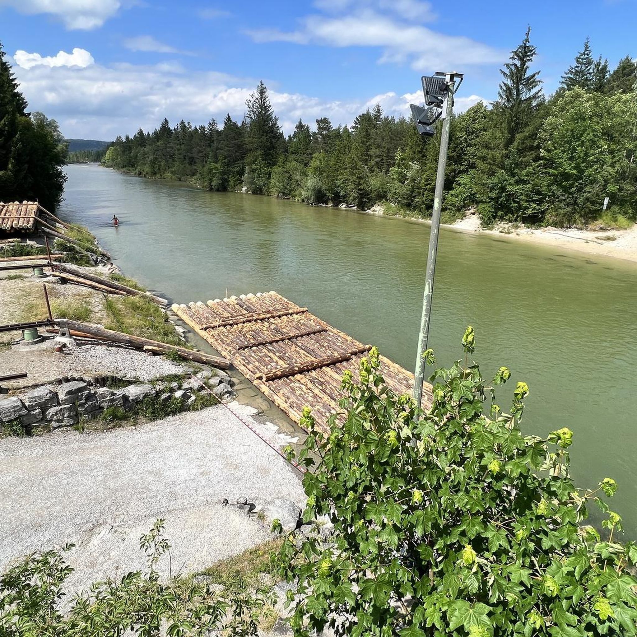
Road Cycling Routes in Isarauen Zwischen Schäftlarn Und Bad Tölz
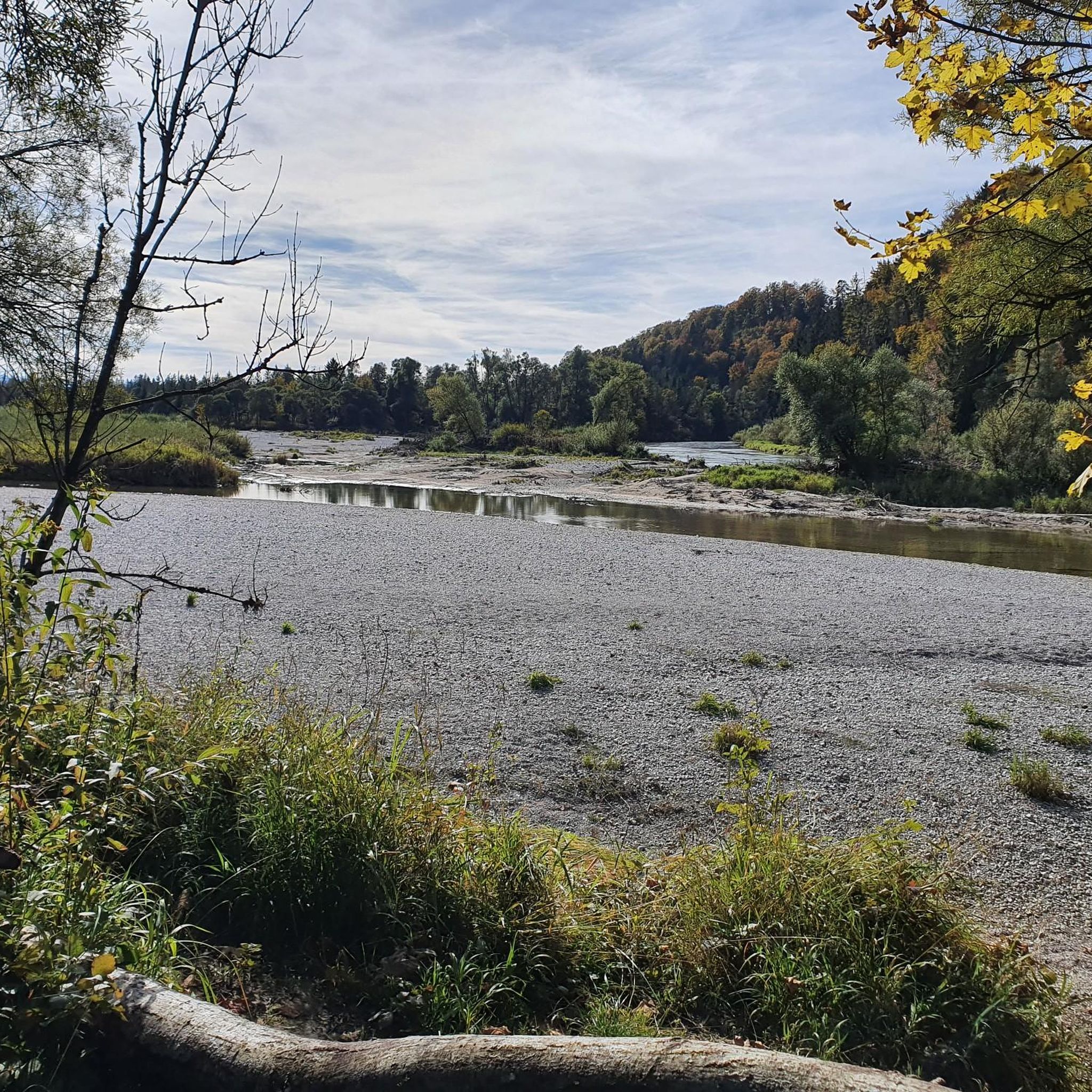
Hiking in Isarauen Zwischen Schäftlarn Und Bad Tölz
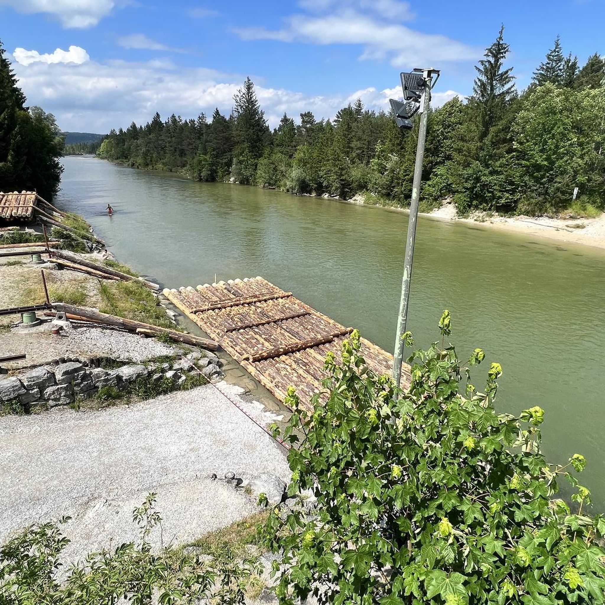
MTB Trails in Isarauen Zwischen Schäftlarn Und Bad Tölz
Running Trails in Isarauen Zwischen Schäftlarn Und Bad Tölz
Gravel biking in Isarauen Zwischen Schäftlarn Und Bad Tölz
Tips from the Community

Wolfratshausen S-Bahn station (S7) – a remix of an existing highlight. Same location, same station, but now with a parenthetical addition so it qualifies as "new" and gets another point added to the Komoot map. Actually impressive: Sometimes all it takes is "(S7)" to secure a second chance at likes.
0
0

Flag decorations for homeland identification
0
0
19th-century railway technology
0
0
Preferably take the route via Sulzkopf, if you are coming from Gaißach, as the standard route recommended by komoot is very muddy.
1
0

The "Bridge of Humanity" stands near the Blomberghaus. From the bridge, intended to connect people's hearts, softwood poles extend to all continents. Artist Marco Paulo (center, with hat) created the structure together with young asylum seekers (right and left). The hiking trail is maintained by the Tölzer Land Art Association, chaired by Patrizia Zewe (center, with umbrella). City Councilor Margot Kirste (center, black dress) is the patron.
0
0
The Zwiesel, also known as the Zwieselberg, is a 1,348 m above sea level mountain in the Bavarian Alps near Bad Tölz. The mountain can be reached via an easy hike with a 620 m ascent from the Waldherralm car park in Wackersberg. The Zwiesel is located in the immediate vicinity of the Blomberg.
0
0

The Ellbach and Kirchseemoors have been a nature reserve since 1940 and a FFH area since 1998. The municipalities of Dietramszell and Sachsenkam, the town of Bad Tölz, and the market town of Holzkirchen all have shares in this protected area.
0
0

You can take a wonderful break at the small, lovingly restored chapel or at the alpine building. Please always treat the area with care and never leave any trash behind.
0
0
Frequently Asked Questions
How many mountaineering routes are available in Isarauen Zwischen Schäftlarn Und Bad Tölz?
There are over 50 mountaineering routes in the Isarauen Zwischen Schäftlarn Und Bad Tölz region, offering a wide range of options for different skill levels and preferences.
Are there any easy mountaineering routes suitable for beginners or families?
Yes, the region offers several easier routes. For a gentle introduction, consider the Catholic branch church of St. Martin – Ellbacher Moor loop from Ellbach, which is an easy 5.7 km trail. This route is ideal for those looking for a less strenuous experience.
Where can I find challenging mountaineering routes in the area?
For more advanced mountaineers, routes around Bad Tölz offer significant ascents. The View of Bad Tölz – Zwiesel Summit loop from Bad Tölz is a challenging 16.8 km trail leading to a summit, while the Rechelkopf Summit – Schwaiger Alm loop from Bad Tölz is another demanding option, covering 17.7 km with considerable elevation gain.
What kind of views can I expect on the mountaineering routes?
Many routes offer elevated views of the Isar river valley and the surrounding forested hills. For panoramic vistas, consider routes that ascend to higher points, such as the Blomberg Cross – Blomberghaus Mountain Inn loop from Bad Tölz, which provides expansive views from the mountain inn.
Are there any circular mountaineering routes in Isarauen Zwischen Schäftlarn Und Bad Tölz?
Absolutely, many of the mountaineering routes in the region are designed as loops. Examples include the Marien Bridge – Icking Weir loop from Wolfratshausen, which follows the Isar river, and the Blomberg Cross – Blomberghaus Mountain Inn loop from Bad Tölz.
What are some interesting natural attractions or landmarks to see along the routes?
The region is rich in natural beauty. Along your routes, you might encounter highlights such as the Isar Canal at Pupplinger Au, the historic Marien Bridge, or the serene Isar Floodplains Nature Reserve. The confluence of the Loisach and Isar rivers is also a notable natural monument.
What do other mountaineers say about the routes in Isarauen Zwischen Schäftlarn Und Bad Tölz?
The mountaineering routes in this region are highly regarded by the komoot community, boasting an average rating of 4.3 stars from over 270 reviews. Users frequently praise the varied terrain, from riverside paths to challenging ascents, and the natural beauty of the Isar valley.
What is the best season for mountaineering in this area?
The Isarauen Zwischen Schäftlarn Und Bad Tölz region is generally enjoyable for mountaineering from spring through autumn. Spring brings lush greenery, while autumn offers vibrant foliage. Summer is popular, but be prepared for warmer temperatures. Winter mountaineering is possible, but conditions can vary, with snow and ice requiring appropriate gear and caution, especially on higher trails.
Are there cafes or places to rest near the mountaineering trails?
Yes, especially around towns like Bad Tölz and Wolfratshausen, you'll find various cafes and inns. Some routes, like the Blomberg Cross – Blomberghaus Mountain Inn loop from Bad Tölz, even lead directly to mountain inns where you can enjoy refreshments and a meal.
How accessible are the mountaineering routes by public transport?
Many starting points for routes in the Isarauen Zwischen Schäftlarn Und Bad Tölz region are accessible by public transport, particularly from larger towns like Bad Tölz and Wolfratshausen. It's advisable to check local bus and train schedules for specific trailheads before planning your trip.
Is parking available at the trailheads?
Parking is generally available near the starting points of many popular mountaineering routes, especially in and around the towns. However, during peak season or on weekends, parking lots can fill up quickly, so arriving early is recommended.
Most popular routes in Isarauen Zwischen Schäftlarn Und Bad Tölz
Most popular attractions in Isarauen Zwischen Schäftlarn Und Bad Tölz

Get inspired with the komoot mobile app


Explore more
Browse the best Mountain Hikes & Routes in other regions.
