The best road cycling routes in Naturschutzgebiet Valsertal
4.5
(97)
3,002
riders
17
rides
Road cycling routes in Naturschutzgebiet Valsertal traverse a mountainous region characterized by deep valleys and significant elevation changes. The area, situated around the Wipptal, features roads that wind through alpine landscapes, offering varied gradients suitable for road cyclists. Routes often involve sustained climbs and descents, with some sections passing through forested areas and open mountain terrain. The natural reserve environment ensures a focus on scenic, undeveloped roads.
Best road cycling routes in Naturschutzgebiet Valsertal
- The most popular road cycling route…
Last updated: July 6, 2026
5.0
(4)
267
riders
212km
10:23
2,700m
2,700m
Hard road ride. Very good fitness required. Some segments of this route may be unpaved and difficult to ride.
4.6
(5)
151
riders
69.8km
03:23
890m
890m
Moderate road ride. Good fitness required. Some segments of this route may be unpaved and difficult to ride.

Sign up for free
5.0
(2)
165
riders
45.6km
02:17
660m
660m
Moderate road ride. Good fitness required. Some segments of this route may be unpaved and difficult to ride.
4.5
(58)
1,412
riders
144km
07:09
2,040m
2,040m
Hard road ride. Very good fitness required. Some segments of this route may be unpaved and difficult to ride.
4.8
(13)
305
riders
43.3km
02:06
540m
540m
Moderate road ride. Good fitness required. Some segments of this route may be unpaved and difficult to ride.
Get access to more routes and recommendations from other explorers.
Sign up for free
Already have an account?
Our route recommendations are based on thousands of hikes, rides, and runs completed by other people on komoot.
Start today with a free account
Your next adventure awaits.
Login or Signup
Popular around Naturschutzgebiet Valsertal
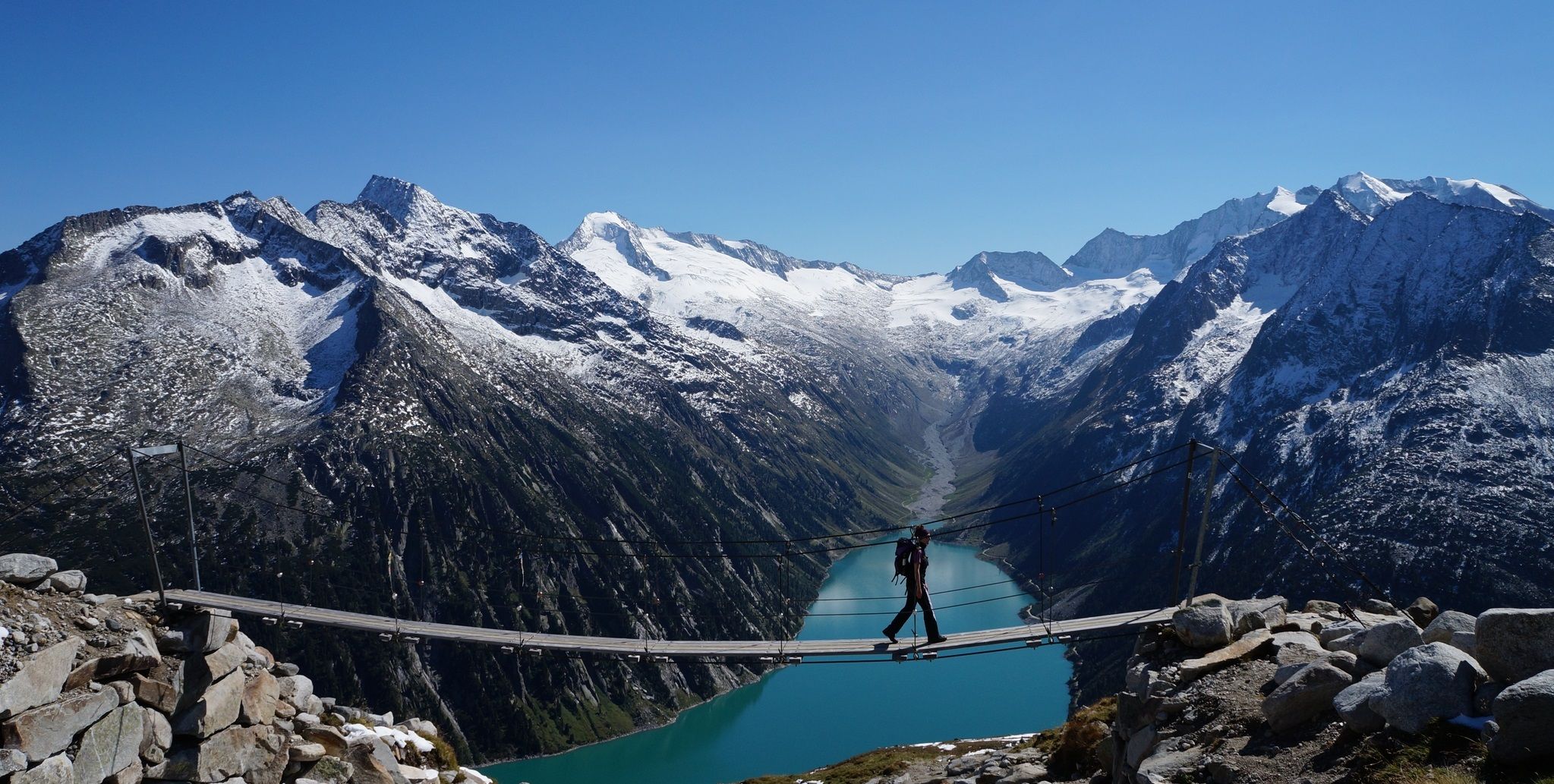
The Peter Habeler loop — an alpine trail around the Olperer
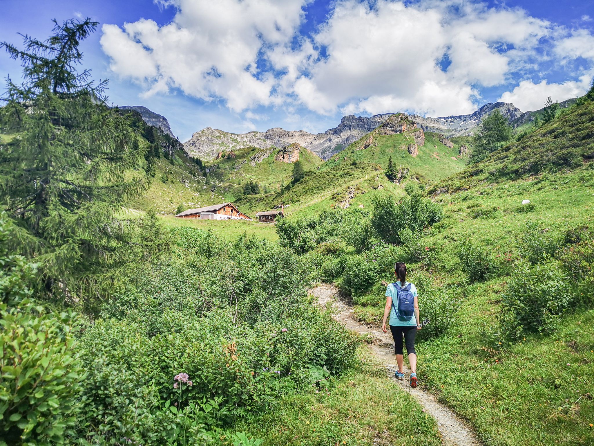
5 culinary alpine and hut hikes in Austria's Wipptal
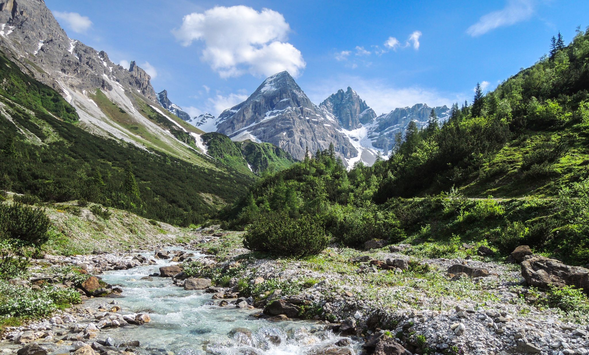
A journey of discovery in Tyrol – hidden places in the Wipptal Valley
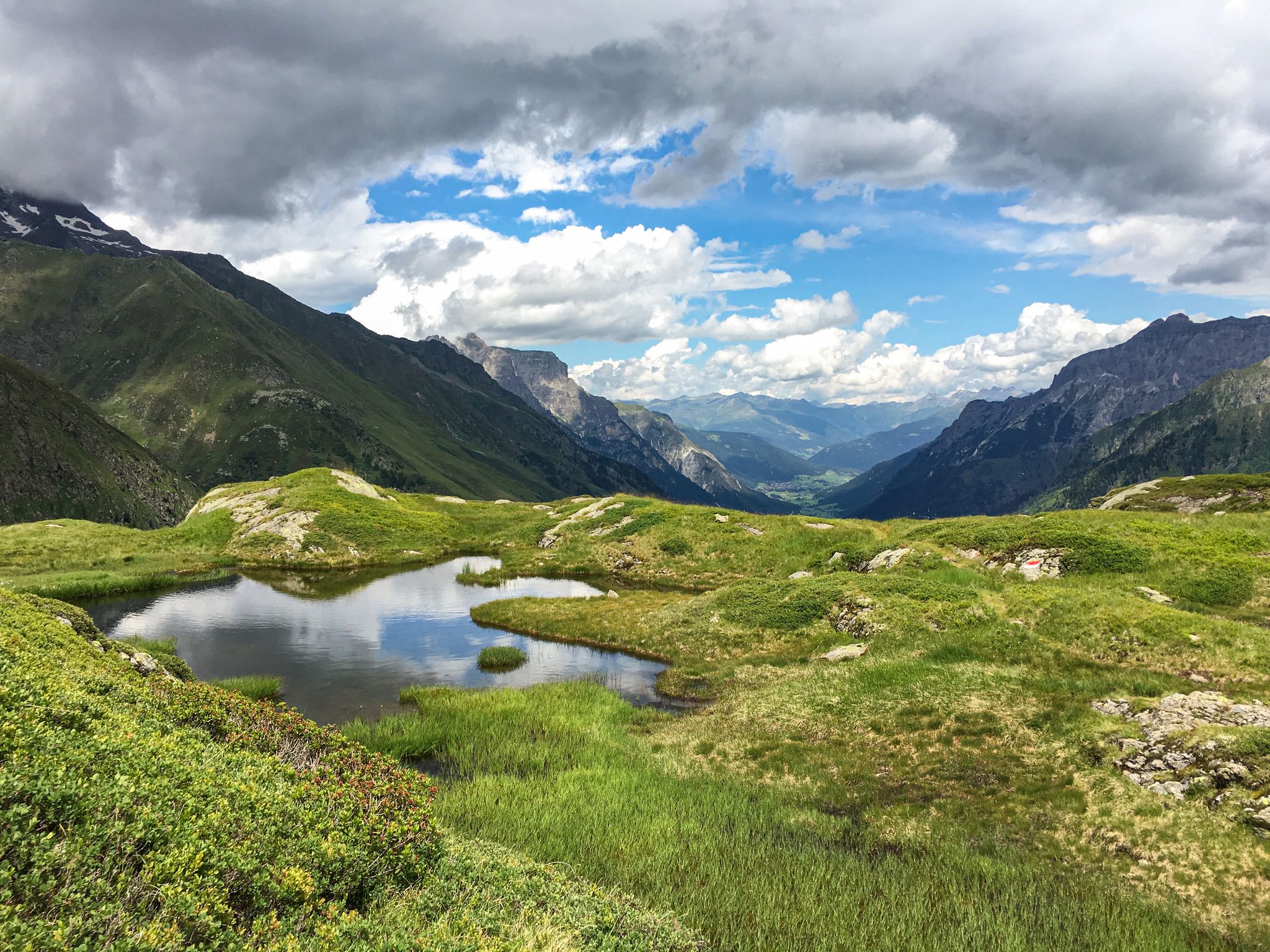
Lonely lakes and thundering waterfalls – magical places in the Wipp Valley
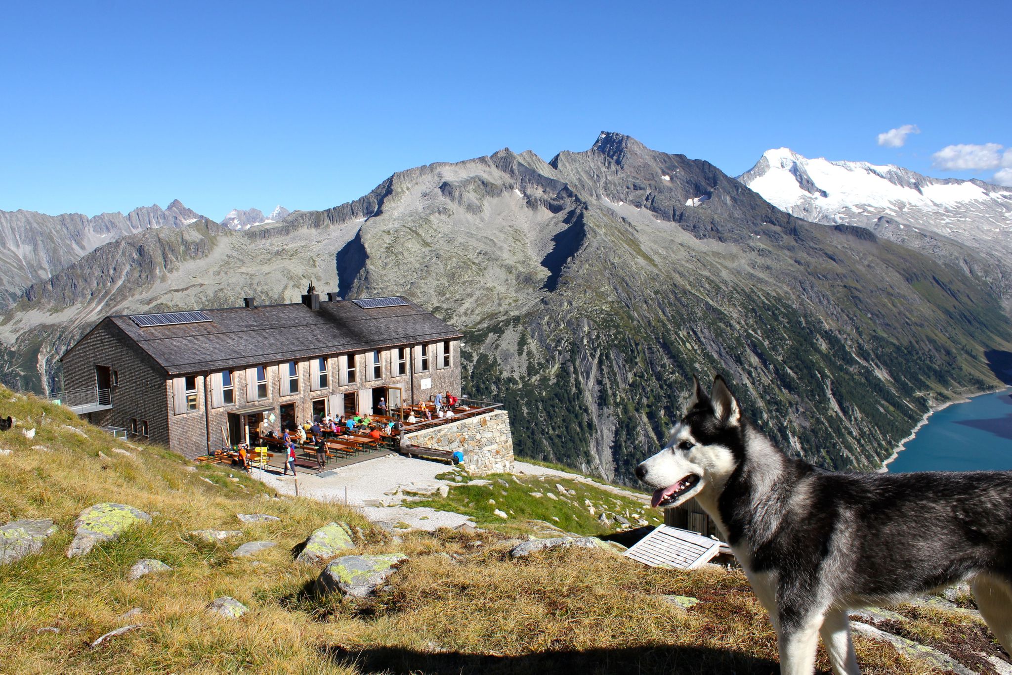
Alpine overnighters with kids
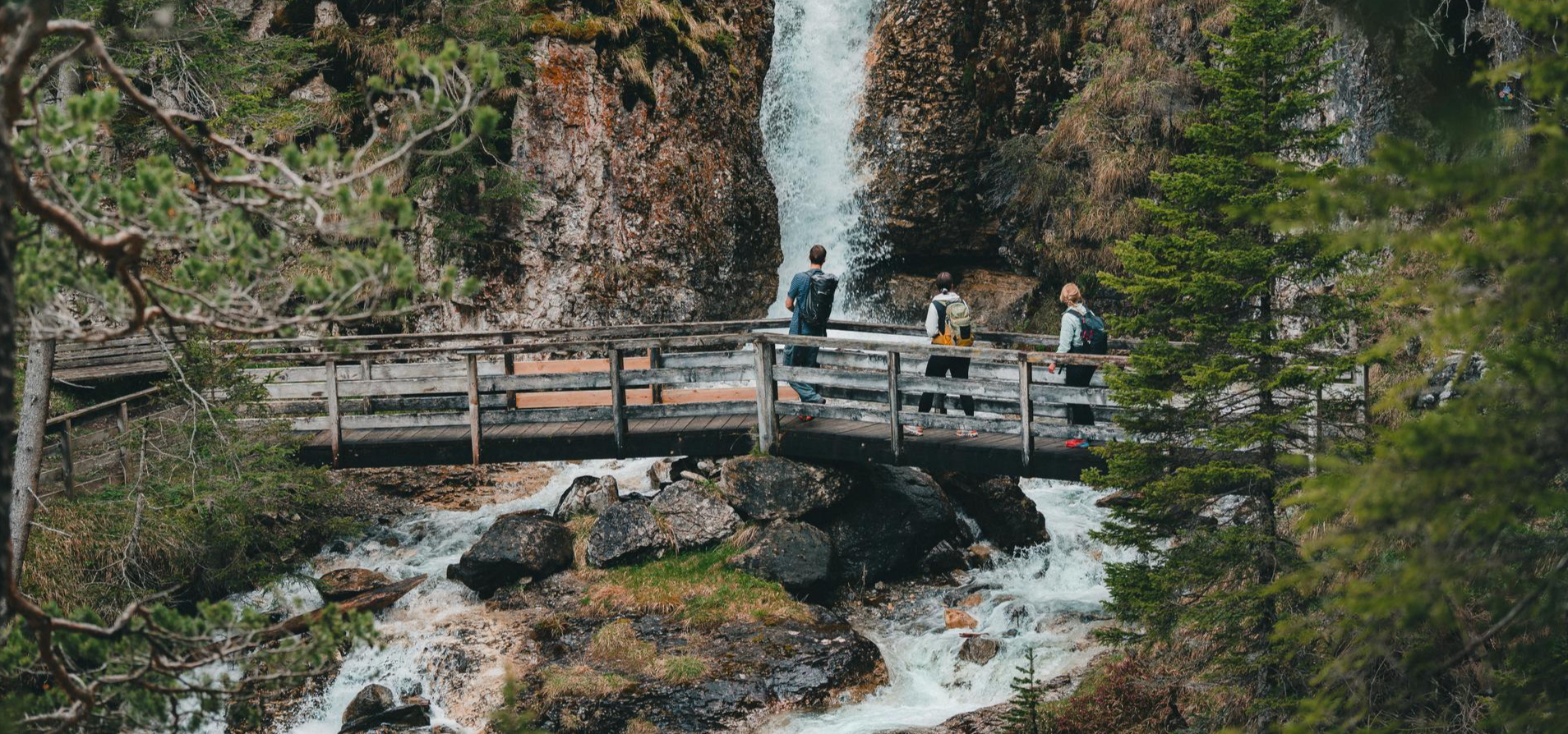
Idyllische Bergseen und rauschende Wasserfälle – Wandern im Wipptal
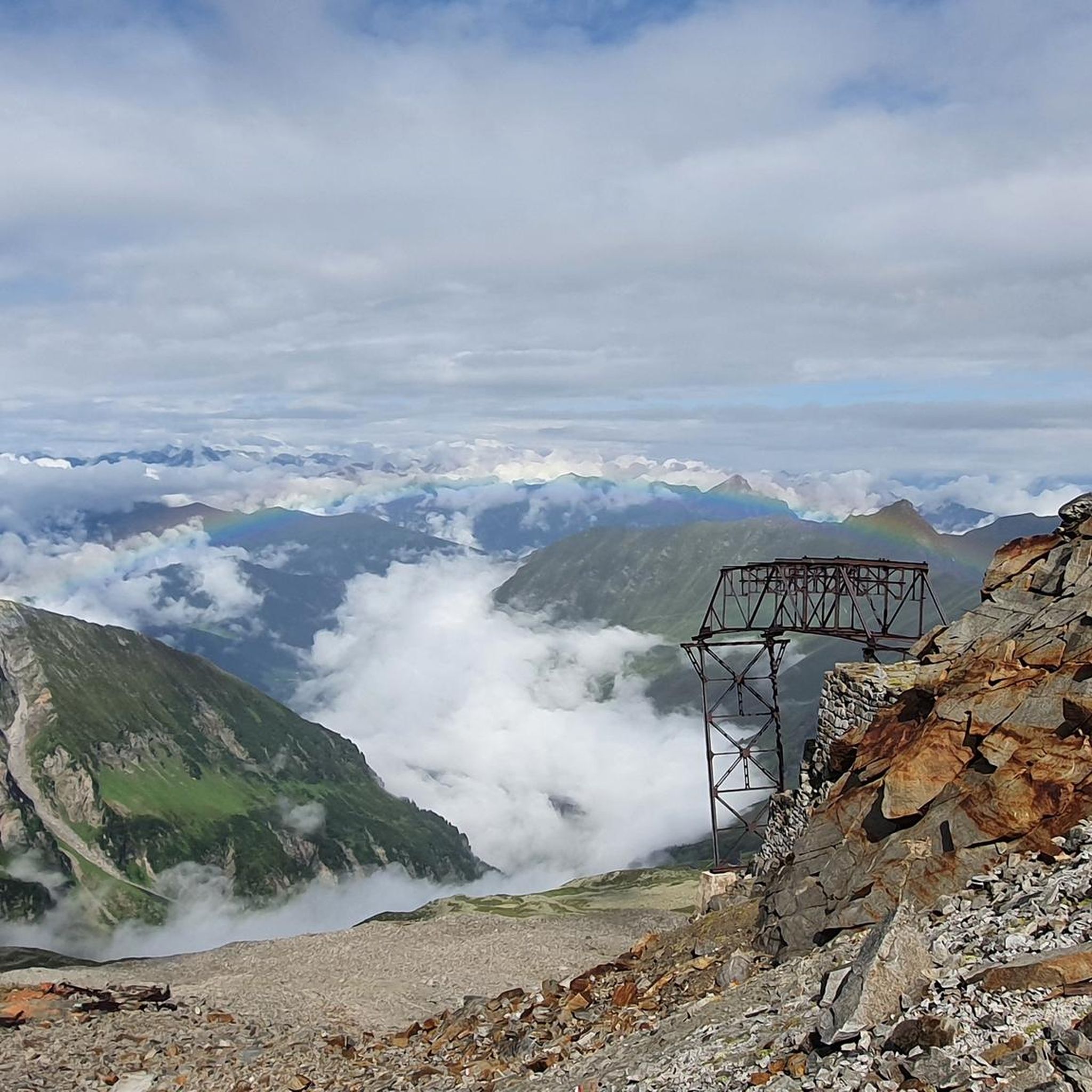
MTB Trails in Naturschutzgebiet Valsertal
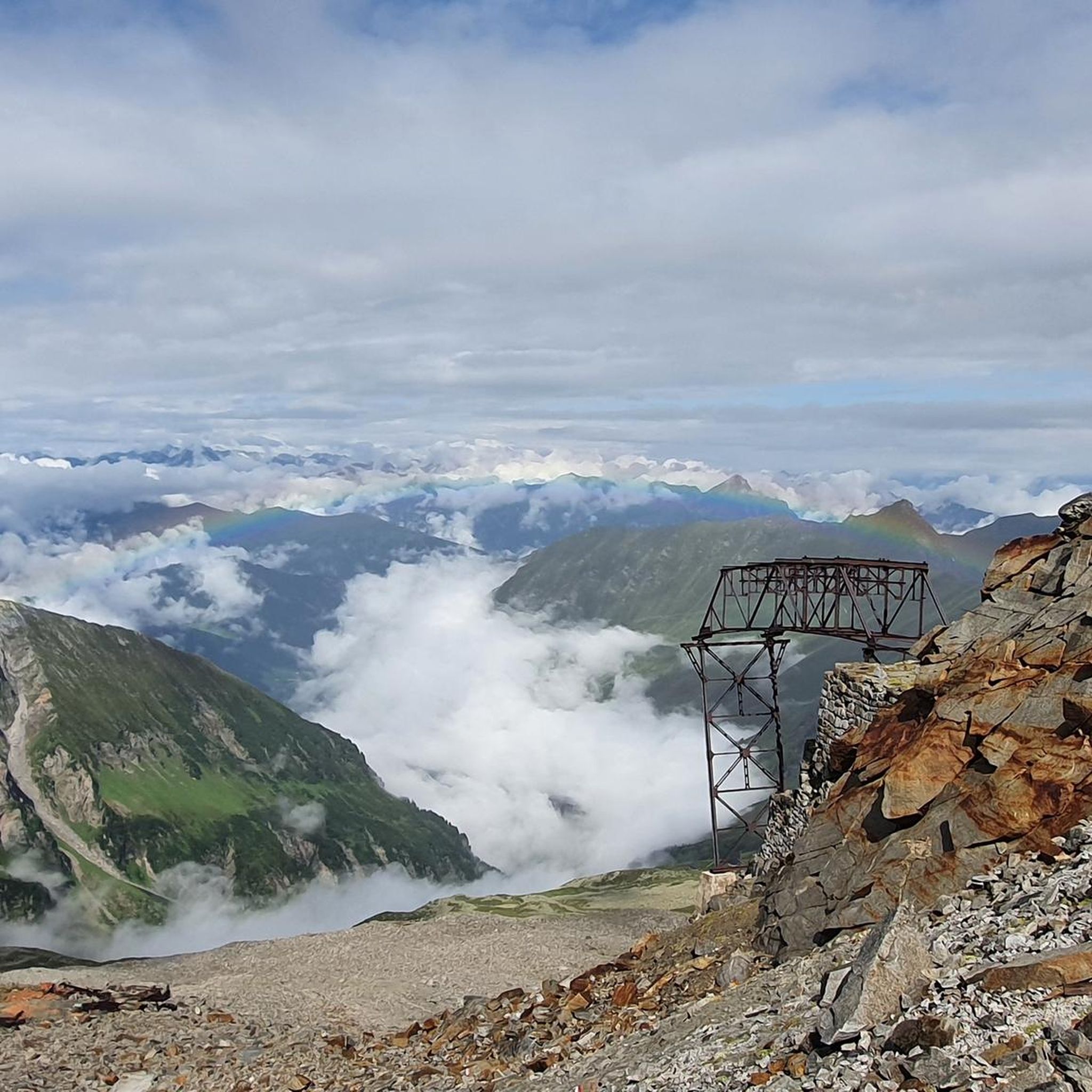
Cycling in Naturschutzgebiet Valsertal
Hiking in Naturschutzgebiet Valsertal

Mountain Hikes in Naturschutzgebiet Valsertal
Other adventures in Naturschutzgebiet Valsertal


Tips from the Community

Top cycle path through the Einsacktal
0
0
Top descent from the Brenner down to Sterzing
0
0

A very beautiful old town with ice cream parlors and restaurants, perfect for a short stop on the tour.
0
0

Available on Zwift - Lutscher route
0
0
Very nice cycle path with a great panorama of the mountains.
0
0

Beautiful cycle path with several tunnels
0
0

another interesting section
0
0

Beautiful cycle path along the old Brenner railway, also with a tunnel.
4
0
Frequently Asked Questions
What is the typical difficulty level of road cycling routes in Naturschutzgebiet Valsertal?
Road cycling in Naturschutzgebiet Valsertal offers a diverse range of routes. You'll find options from easy to difficult, with 5 easy, 8 moderate, and 5 difficult routes available. The region is characterized by mountainous terrain with varied gradients, including sustained climbs and descents through alpine landscapes.
Are there any circular road cycling routes in Naturschutzgebiet Valsertal?
Yes, many of the road cycling routes in Naturschutzgebiet Valsertal are designed as loops. For example, the challenging View of Stilves loop from Innervals covers 101.7 miles, or the moderate Mountain Guide Village Neustift – Wipptal loop from St. Jodok am Brenner is a 39.3-mile option.
What are some good starting points for road cycling in Naturschutzgebiet Valsertal?
Popular starting points often include villages within or bordering the Wipptal, such as Innervals or St. Jodok am Brenner. These locations provide access to various routes, including those that follow historic paths or lead through mountain valleys.
Are there any family-friendly road cycling routes in Naturschutzgebiet Valsertal?
While many routes feature significant elevation changes, there are easier options suitable for families or less experienced riders. For instance, the Old Railway Cycle Path – View of Colle Isarco loop from Brenner - Brennero is an easy 15.2-mile route with less demanding climbs, perfect for a more relaxed ride.
What is the best time of year for road cycling in Naturschutzgebiet Valsertal?
The best time for road cycling in Naturschutzgebiet Valsertal is typically from late spring to early autumn (May to October). During these months, mountain passes are usually clear of snow, and the weather is more stable, offering pleasant temperatures for riding through the alpine scenery.
What kind of weather conditions can I expect when road cycling in Valsertal?
Due to its mountainous nature, weather in Valsertal can change rapidly. Expect cooler temperatures at higher elevations, even in summer. Be prepared for sun, rain, and potentially strong winds. Always check the local forecast before heading out and pack layers.
What should I pack for a road cycling trip in Naturschutzgebiet Valsertal?
Given the varied terrain and potential for changing weather, it's advisable to pack layers of clothing, including a windproof and waterproof jacket. Essential items include a repair kit, spare inner tubes, sufficient water and snacks, and sun protection. A helmet is always recommended.
What can I see along the road cycling routes in Naturschutzgebiet Valsertal?
Road cycling routes often pass through scenic alpine valleys and offer views of the surrounding mountains. You might encounter traditional huts like Geraer Hut or Nocker Alm, and historical sites such as the Ruins of the Alpeiner Scharte Molybdenum Mine. Many routes provide expansive viewpoints of the Wipptal region.
Are there cafes or places to stop for refreshments near the road cycling routes?
Yes, you'll find opportunities for refreshments in the villages along the routes and at various mountain huts. These often provide a chance to refuel and enjoy local hospitality amidst the stunning scenery. Look for places like Valsertal Tourist Rest.
How long do road cycling routes in Naturschutzgebiet Valsertal typically take to complete?
The duration varies significantly depending on the route's length and difficulty. Shorter, easier routes like the Old Railway Cycle Path – View of Colle Isarco loop from Brenner - Brennero might take around 1 hour 7 minutes. Longer, more challenging routes, such as the Old Roman Road – View of Stilves loop from St. Jodok am Brenner, can take over 5 hours.
What do other road cyclists enjoy most about road cycling in Naturschutzgebiet Valsertal?
The area is highly rated by the komoot community, with an average score of 4.4 stars from over 50 reviews. Reviewers often praise the challenging alpine scenery, the winding roads through deep valleys, and the sense of adventure offered by the sustained climbs and descents.
How many road cycling routes are available in Naturschutzgebiet Valsertal?
There are 18 road cycling routes available in Naturschutzgebiet Valsertal, offering a wide variety of distances and elevation profiles to suit different preferences and fitness levels.
Most popular routes in Naturschutzgebiet Valsertal
Most popular attractions in Naturschutzgebiet Valsertal

Get inspired with the komoot mobile app


Explore more
Browse the best Road cycling routes in other regions.
