Naturschutzgebiet Wildnisgebiet Dürrenstein
Naturschutzgebiet Wildnisgebiet Dürrenstein
The best mountain hikes in Naturschutzgebiet Wildnisgebiet Dürrenstein
4.8
(33)
520
hikers
18
hikes
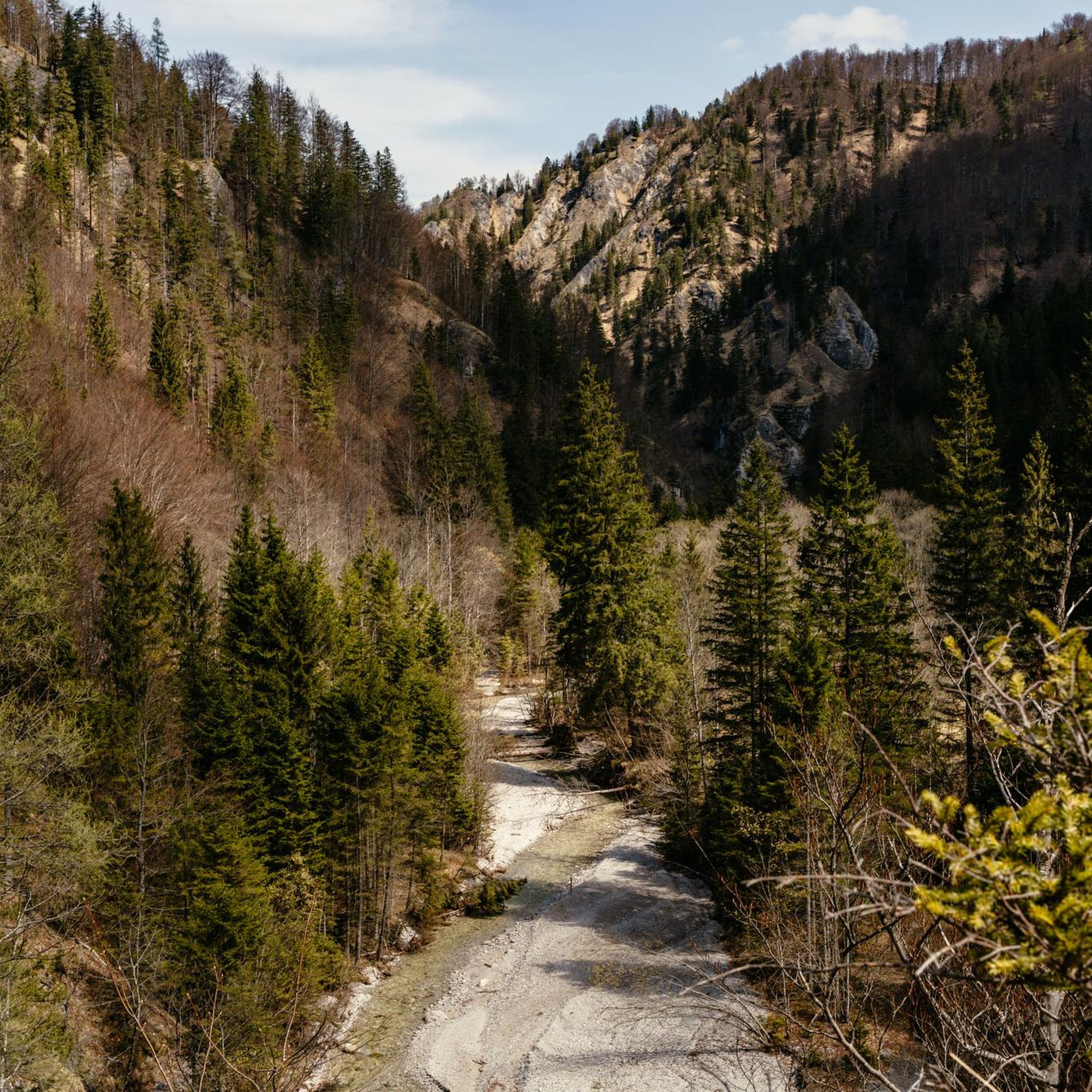
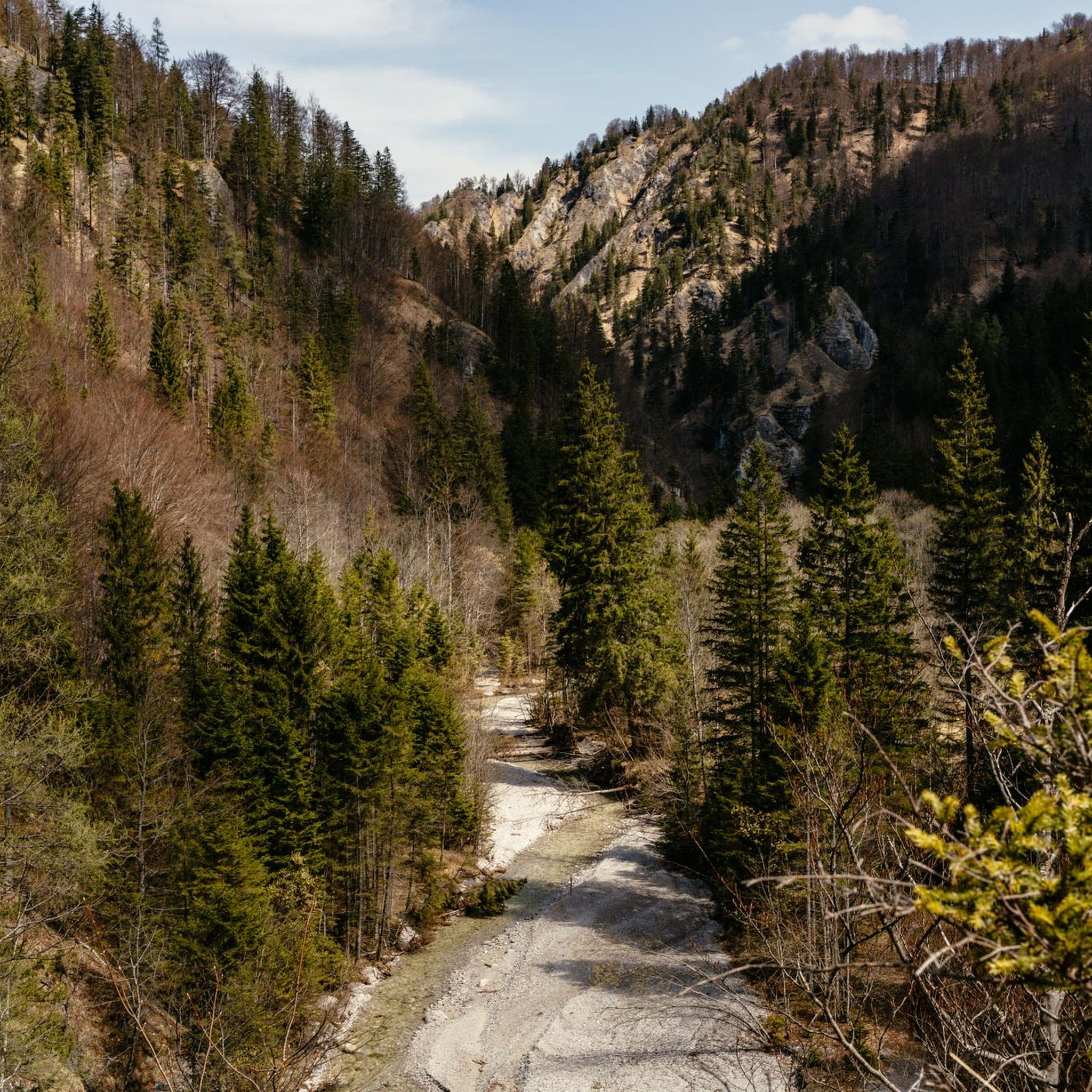
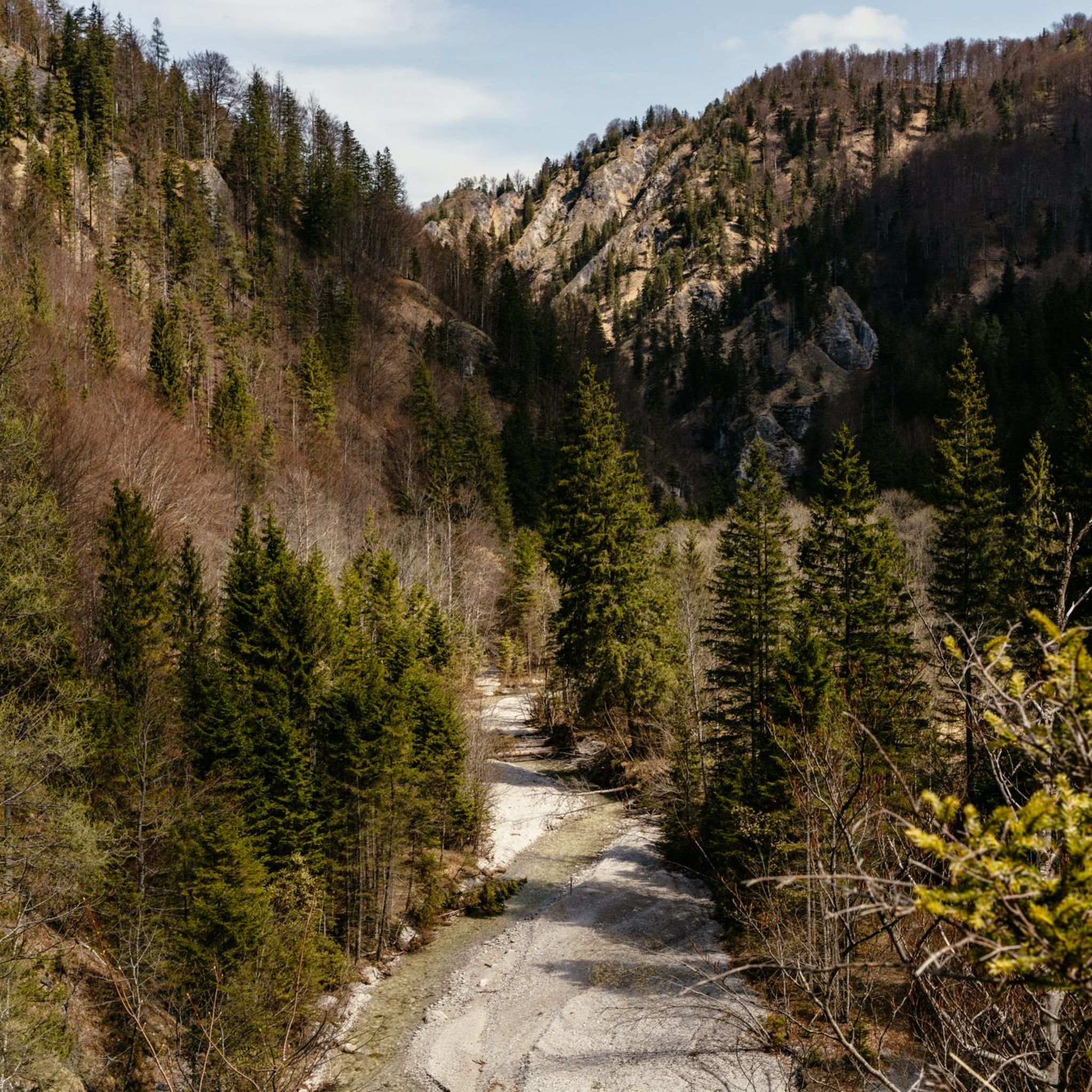
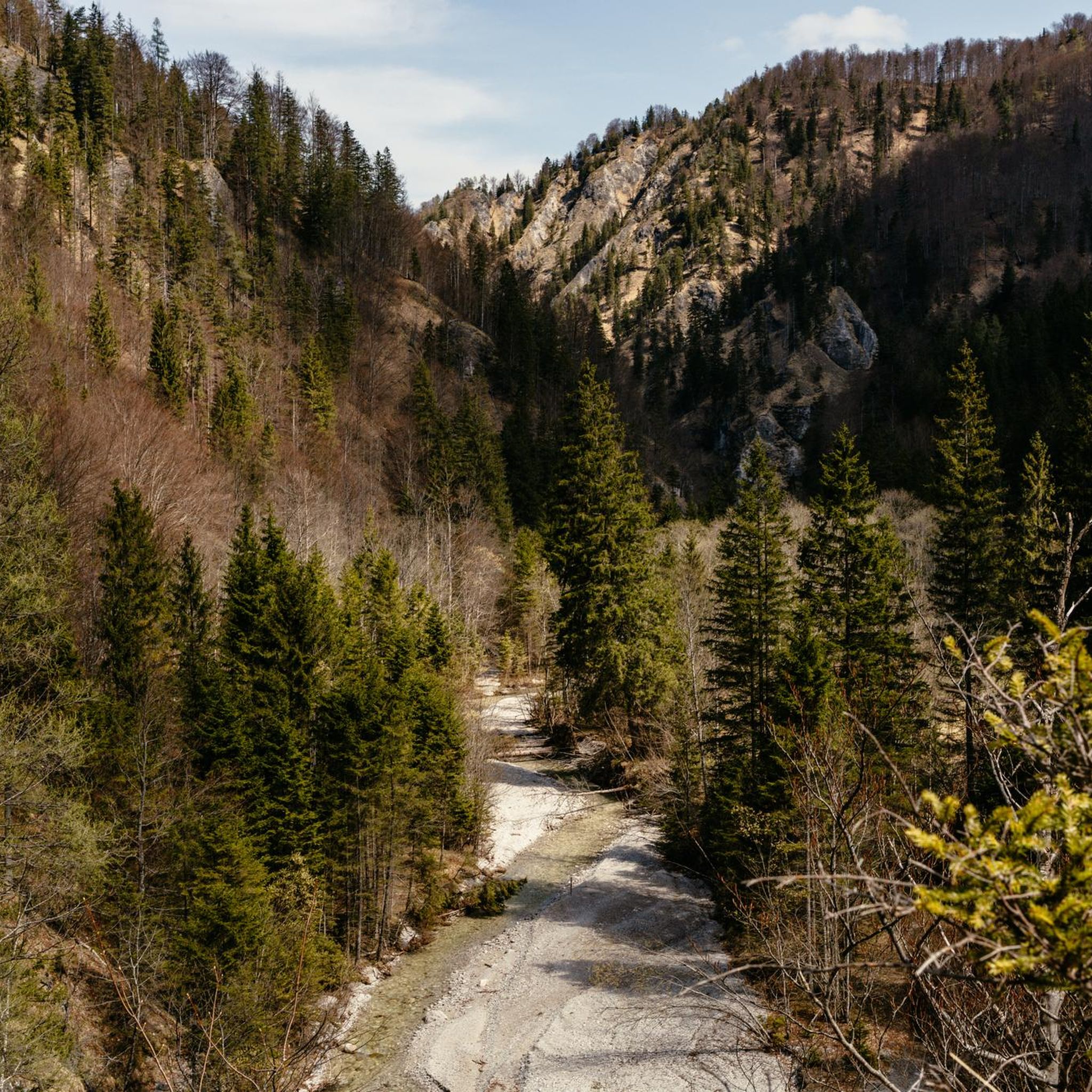
Mountaineering routes in Naturschutzgebiet Wildnisgebiet Dürrenstein traverse a landscape defined by untouched primeval forests, karstic alpine formations, and diverse ecosystems. The region features the ancient Rothwald forest, with trees up to 700 years old, alongside rocky alpine meadows and krummholz zones. Elevations range from approximately 600 meters to nearly 1,900 meters, with the Dürrenstein summit reaching 1,878 meters. This UNESCO World Heritage site offers varied terrain, including glacially formed features and meandering streams, providing a range of mountaineering challenges.
Best…
Last updated: July 1, 2026
5.0
(1)
11
hikers
14.2km
04:52
750m
750m
Moderate mountaineering route. Good fitness required. Mostly accessible paths. Sure-footedness required.
5.0
(1)
28
hikers
6.15km
04:15
840m
840m
Moderate mountaineering route. Good fitness required. Mostly accessible paths. Sure-footedness required.

Sign up for free
16
hikers
18.6km
07:29
1,140m
1,140m
Hard mountaineering route. Very good fitness required. Mostly accessible paths. Sure-footedness required.
5.0
(1)
13
hikers
14.0km
06:32
1,040m
1,040m
Hard mountaineering route. Very good fitness required. Mostly accessible paths. Sure-footedness required.
8
hikers
11.7km
03:40
440m
440m
Moderate mountaineering route. Good fitness required. Easily-accessible paths. Suitable for all skill levels.
Get access to more routes and recommendations from other explorers.
Sign up for free
Already have an account?
Our route recommendations are based on thousands of hikes, rides, and runs completed by other people on komoot.
Start today with a free account
Your next adventure awaits.
Login or Signup
Popular around Naturschutzgebiet Wildnisgebiet Dürrenstein
Tips from the Community

For the exciting – and for the vast majority of us, presumably caught unprepared at that moment – question from a third party about one's own faith, which such a small sacred monument as the LEONHARDIKREUZ could prompt, Christiane Völkel has set herself the task of "being better prepared for such questions and also being able to talk about my own experience. These are the moments of awe, in which heaven has allowed me to glimpse beyond the horizon of existence for a moment. Whoever has experienced this will not forget what they felt… Whoever has once in their life begun to suspect what it means to be touched by God, will not want to live without this longing to feel the divine again."
0
0


The history of the castle spans around 700 years. A "farm by the lake" was mentioned as early as 1367. The name "Seehof" first appeared in 1490, and probably served as the farm of the Gaming Charterhouse. Today the castle is privately owned and is run as a forestry business. You can take a break in the neighboring castle tavern and be enchanted by the beautiful surroundings.
1
0

The Dürrenstein, at 1878 m high, is located in the UESCO World Heritage Site of the Dürrenstein Wilderness Area. The 11th stage of the Luchstrail leads from Göstling over the Dürrenstein to Lunz/See. It is a lonely mountain with a very long climb. There is the possibility of spending the night at the Ybbstalhütte to split up the long climb.
0
0
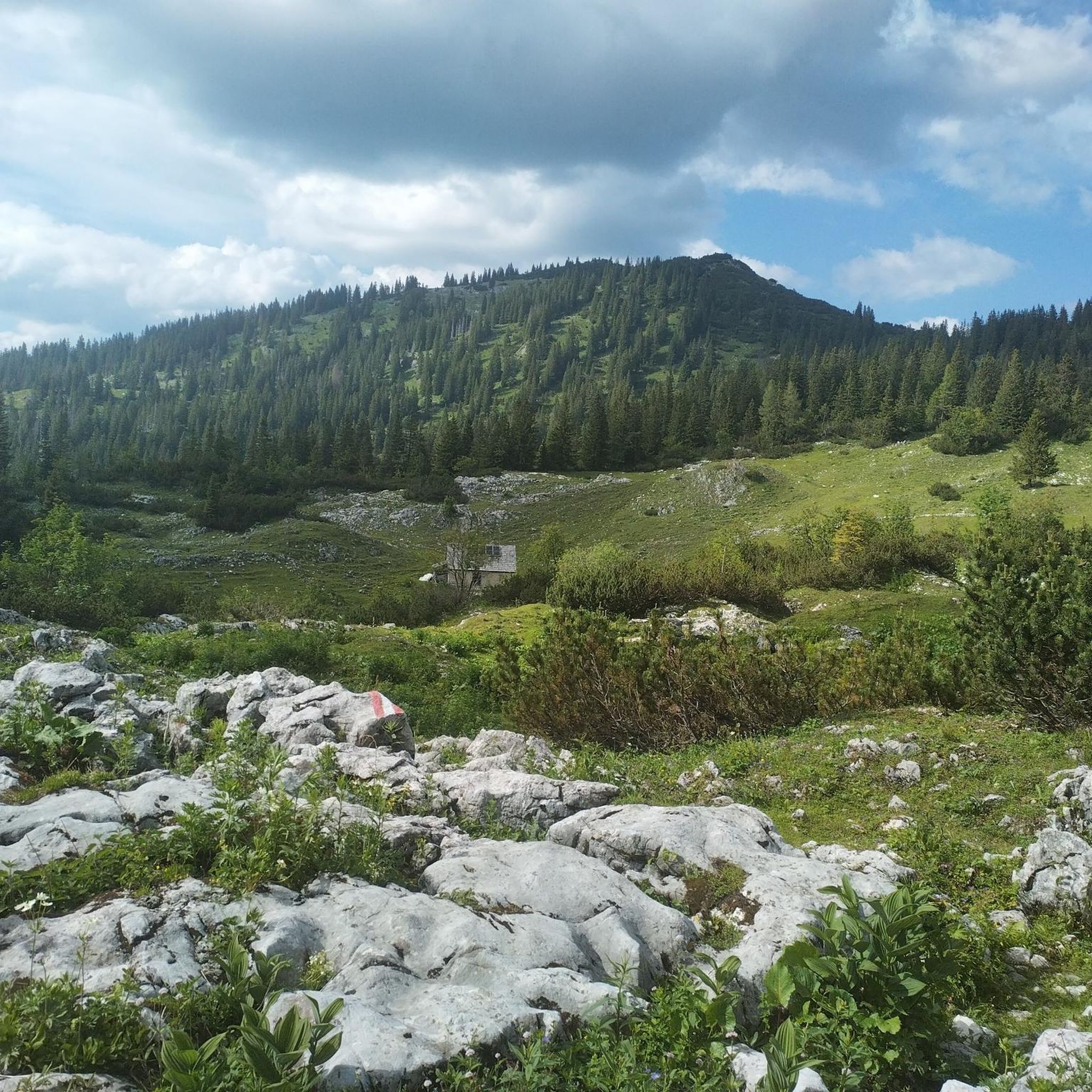
The stone alpine house dates back to the 15th/16th century. The alpine pasture is open to the public during the summer months. There is a drinks fountain and culinary delights. You can also spend the night here.
1
1

A nice “take-along summit” on the crossing from the Scheibe to Herrenalm.
5
0
A nice place to rest. Also the crossing point of the hiking trails to the Seetal, to the Scheibe, and to the Herrenalm.
5
0
The highest peak on the crossing from the Scheibe to the Herrenalm
4
0
Frequently Asked Questions
How many mountaineering routes are available in Naturschutzgebiet Wildnisgebiet Dürrenstein?
There are 18 mountaineering routes documented in Naturschutzgebiet Wildnisgebiet Dürrenstein. These routes range in difficulty from easy to difficult, offering diverse experiences across the region's primeval forests and karstic alpine landscapes.
Are there any easy mountaineering routes suitable for beginners?
Yes, there is one easy mountaineering route available. While the majority of routes are moderate or difficult, beginners can find suitable options to experience the unique nature of the Dürrenstein wilderness. Always check the route details for specific requirements.
What kind of natural features can I expect to see along the mountaineering routes?
Mountaineering routes in Naturschutzgebiet Wildnisgebiet Dürrenstein offer a chance to experience untouched primeval forests, including the ancient Rothwald, with trees up to 700 years old. You'll also traverse karstic alpine landscapes, krummholz zones, and glacially formed terrain. Keep an eye out for diverse ecosystems, meandering streams, and varied flora and fauna.
Are there any notable landmarks or viewpoints along the trails?
Absolutely. The region is home to prominent summits like Dürrenstein (1,878 meters), offering impressive 360-degree panoramic views. Another insider tip for excellent views is Ringkogel. You might also encounter the Owl Trail, which highlights the area's unique ecosystem.
Are there any circular mountaineering routes in the Dürrenstein Wilderness Area?
Yes, several routes are designed as loops. For instance, the moderate Ybbstaler Hut – Rothschild Pond loop from Rothschild-Teich is a popular choice, taking around 4 hours 52 minutes. Another option is the View of Lunzer See – Scheibe (1602 m) loop from Dagles, which offers significant elevation gain and panoramic views.
What is the best time of year for mountaineering in Naturschutzgebiet Wildnisgebiet Dürrenstein?
The best time for mountaineering is typically from late spring to early autumn (May to October) when trails are generally clear of snow and weather conditions are more stable. However, conditions can vary significantly with altitude, so always check local forecasts and trail status before heading out. Winter mountaineering requires specialized equipment and experience.
Can I bring my dog on the mountaineering trails?
While the Dürrenstein Wilderness Area is a protected natural space, specific regulations regarding dogs on trails can vary. It's always best to check with local authorities or park information centers for the most current rules on dog access to ensure a pleasant and compliant experience for both you and your pet.
Are there any family-friendly mountaineering options?
Given the challenging terrain and protected status of much of the area, many mountaineering routes require good fitness and alpine experience. However, some shorter, less strenuous sections or trails around the periphery might be suitable for families with older children who are accustomed to hiking. Always review the difficulty and duration of a route before setting out with family.
Where can I find parking for the mountaineering routes?
Parking availability varies depending on the specific trailhead. Many routes, especially those starting from villages like Dagles or Lunz am See, will have designated parking areas. It's advisable to research the starting point of your chosen route in advance to identify the nearest parking facilities.
Is public transport available to access the mountaineering routes?
Access to the Dürrenstein Wilderness Area via public transport can be limited, especially to more remote trailheads. Some larger towns or villages near the periphery, such as Lunz am See, may have bus connections. For detailed information on public transport options to specific starting points, it's recommended to consult local transport schedules or tourist information.
What do other mountaineers enjoy most about the Dürrenstein Wilderness Area?
The area is highly rated by the komoot community, with an average score of 4.75 stars from nearly 40 reviews. Mountaineers often praise the untouched primeval forests, the challenging yet rewarding ascents to summits like Dürrenstein, and the profound sense of wilderness and solitude found in this UNESCO World Heritage site.
Are there any huts or places to rest along the longer routes?
Yes, for longer hikes and mountaineering ascents, the Ybbstalerhütte offers accommodation and refreshments. This can be a welcome stop or an overnight option to break up more extensive tours, such as the Herrenalm (1327 m) – Leonhard Cross loop from Dagles.
Most popular routes in Naturschutzgebiet Wildnisgebiet Dürrenstein
Most popular attractions in Naturschutzgebiet Wildnisgebiet Dürrenstein

Get inspired with the komoot mobile app


Explore more
Browse the best Mountain Hikes & Routes in other regions.
