Naturschutzgebiet Wildnisgebiet Dürrenstein
Naturschutzgebiet Wildnisgebiet Dürrenstein
The best cycling routes in Naturschutzgebiet Wildnisgebiet Dürrenstein
4.7
(682)
5,072
riders
51
rides
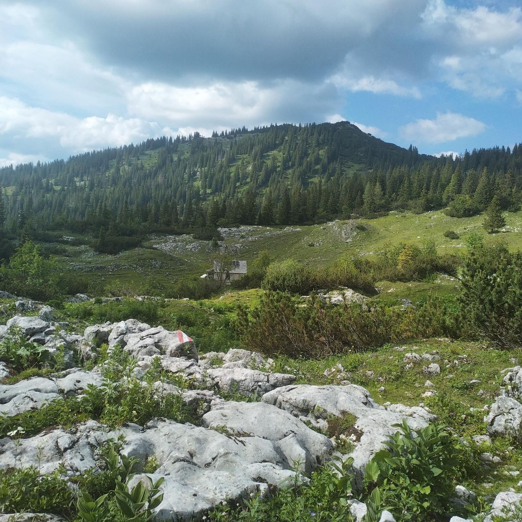
Touring cycling in Naturschutzgebiet Wildnisgebiet Dürrenstein offers routes through a diverse landscape of primeval forests, karstic alpine terrain, and river valleys. The region, a UNESCO World Heritage site, features the ancient Rothwald primeval forest and the Dürrenstein summit, which reaches 1,878 meters. Cycling routes often follow meandering streams and traverse areas with varied ecosystems, from dense woodlands to open alpine meadows. This area provides a range of cycling experiences across its natural features.
Best touring cycling routes in Naturschutzgebiet Wildnisgebiet…
Last updated: July 1, 2026
5.0
(1)
21
riders
90.9km
06:59
1,530m
1,530m
Hard bike ride. Very good fitness required. Mostly paved surfaces. Suitable for all skill levels.
4.7
(38)
249
riders
60.3km
03:28
250m
630m
Moderate bike ride. Good fitness required. Mostly paved surfaces. Suitable for all skill levels.

Sign up for free
4.6
(23)
223
riders
59.1km
04:26
1,020m
1,020m
Hard bike ride. Very good fitness required. Some segments of this route may be unpaved and difficult to ride.
4.8
(78)
469
riders
Moderate bike ride. Good fitness required. Mostly paved surfaces. Suitable for all skill levels.
4.6
(20)
212
riders
Moderate bike ride. Good fitness required. Mostly paved surfaces. Suitable for all skill levels.
Get access to more routes and recommendations from other explorers.
Sign up for free
Already have an account?
Our route recommendations are based on thousands of hikes, rides, and runs completed by other people on komoot.
Start today with a free account
Your next adventure awaits.
Login or Signup
Popular around Naturschutzgebiet Wildnisgebiet Dürrenstein
Tips from the Community

The Hochschwab Straße is an approximately 50 km long federal road in Styria. It connects the two villages of Gußwerk (Mariazeller Straße B 20) and Palfau (Erlauftal Straße B 25). The road leads through the Salzatal, past the villages of Greith im Salzatal, Weichselboden, Gschöder (all part of the municipality of Mariazell) and Wildalpen to Erzhalden near Palfau.
0
0
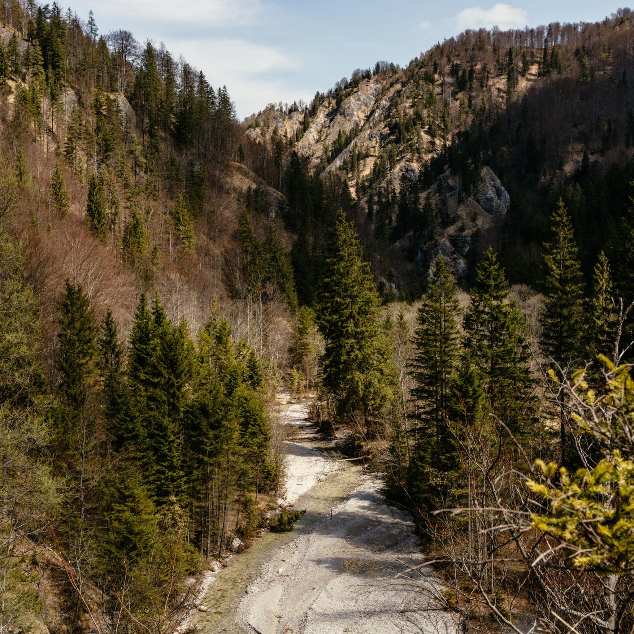
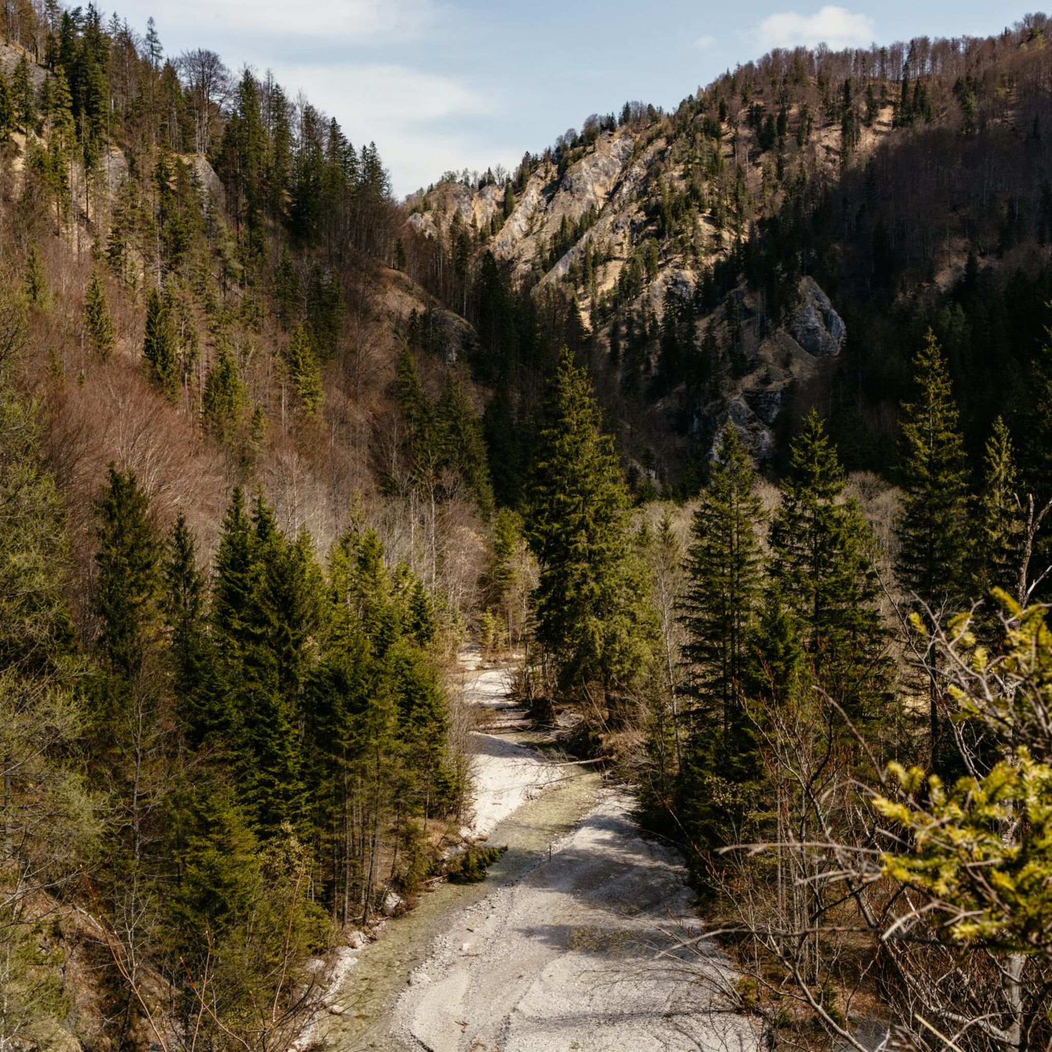
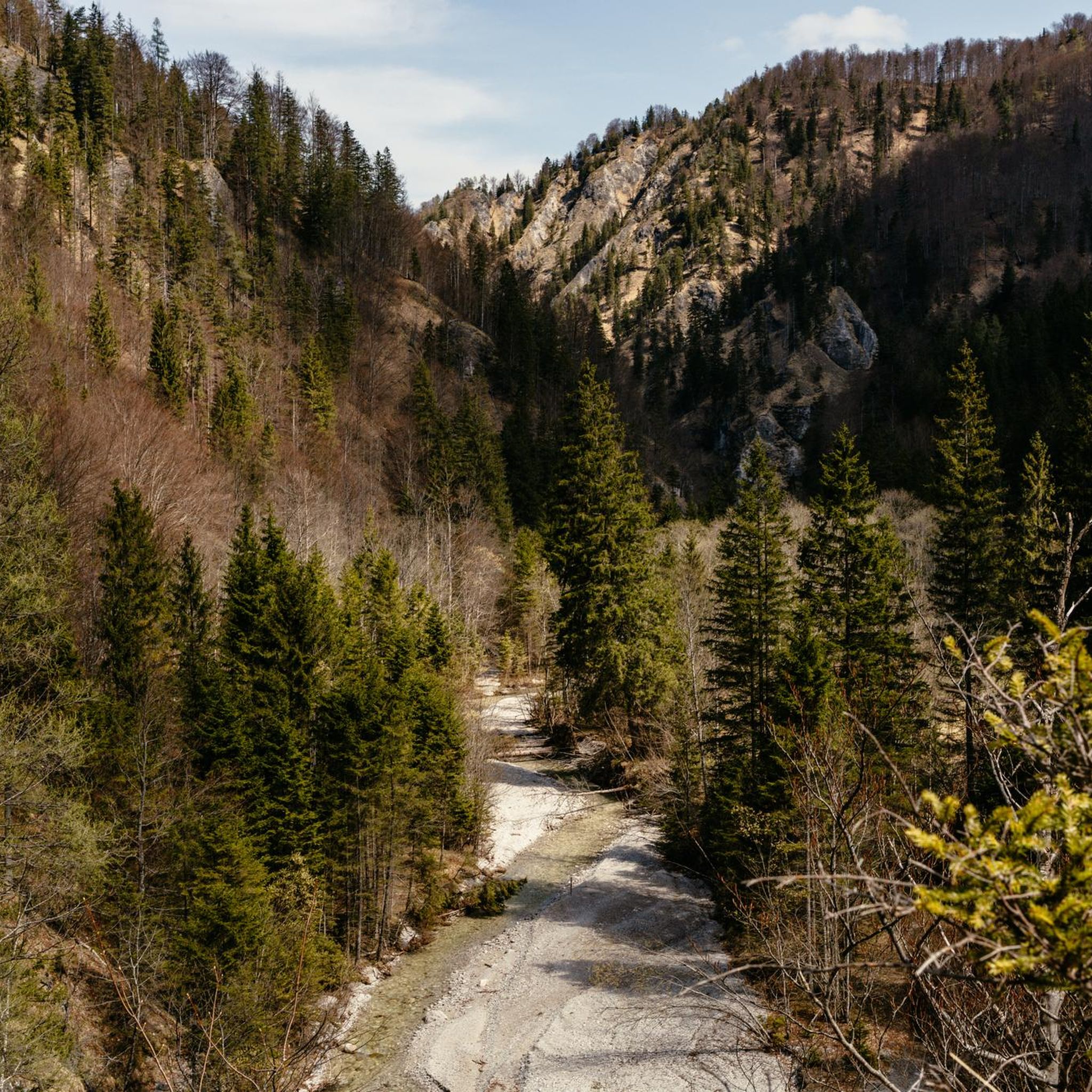
The Salza (also Mariazeller Salza) is a mountain river in Austria and a right tributary of the Enns. It drains large parts of the Styrian-Lower Austrian Limestone Alps and, with its deeply incised valley, separates the Göstlinger Alps from the Hochschwab mountain massif.
0
0

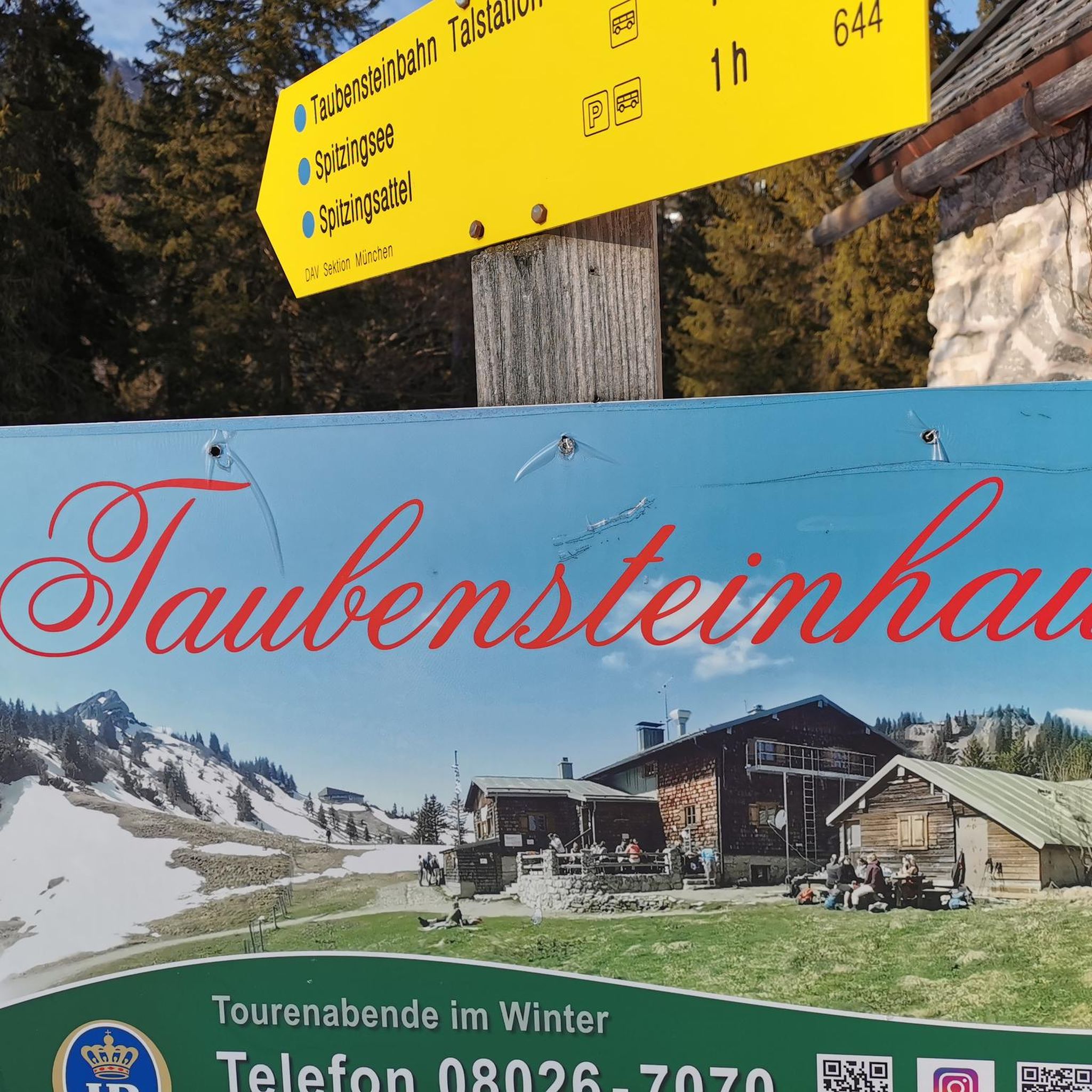
A good shelter in the rain
0
0

The small footbridge leads over the Erlauf near Stock.
0
0
Idyllic path along the Erlauf River near Scheibbs. The view of the small town is very beautiful.
1
0
Very beautiful and well-maintained cycle path along the Ybbs.
2
0

The Ybbsdüker (Ybbs Culvert) is a striking structure along the Ybbstal Cycle Path – not a bridge, but a pipeline that carries water for the Opponitz power plant across the Ybbs River. Its curved shape is reminiscent of a giant earthworm. Although the Ybbsdüker, with its retro-futuristic appearance, appears more like a modern industrial design, it was actually built in the 1920s.
0
0
Probably the best swimming spot on the Yibbs. Deep enough to really dive in or swim a few meters. Nice loungers and a changing room included.
0
0
Frequently Asked Questions
How many touring cycling routes are available in Naturschutzgebiet Wildnisgebiet Dürrenstein?
There are over 50 touring cycling routes available in Naturschutzgebiet Wildnisgebiet Dürrenstein. These routes cater to various skill levels, with a good mix of moderate and challenging options.
What kind of terrain can I expect on touring cycling routes in this region?
The touring cycling routes in Naturschutzgebiet Wildnisgebiet Dürrenstein traverse a diverse landscape. You'll encounter areas of ancient primeval forests, impressive karstic alpine landscapes, and scenic river valleys. Routes often follow meandering streams and pass through varied ecosystems, from dense woodlands to open alpine meadows.
Are there any family-friendly touring cycling routes in Naturschutzgebiet Wildnisgebiet Dürrenstein?
While some routes feature significant elevation gain, there are easier options suitable for families. For instance, the Erlauftal Cycle Path is a moderate 37.5-mile route that follows the Erlauftal, offering a scenic journey through the valley with less demanding terrain.
Can I bring my dog on the touring cycling routes?
The broader Dürrenstein area is generally welcoming to outdoor activities. While the core primeval forest has restricted access, many peripheral trails and cycling paths are suitable for cycling with dogs. Always ensure your dog is well-behaved and on a leash where required, especially in protected areas or near wildlife.
What are some notable landmarks or natural features to see along the cycling routes?
The region is rich in natural beauty. You can explore areas near the ancient Rothwald primeval forest, experience karstic alpine landscapes, and enjoy views of the Dürrenstein summit. Other notable attractions include Ringkogel, another summit with excellent views, and the Owl Trail in Dürrenstein-Lassingtal Wilderness Area, which offers insights into local wildlife.
Are there any circular touring cycling routes available?
Yes, there are several circular routes. A popular option is the Historic Weir on the Salza – Salza River loop from Klaus, a challenging 56.6-mile route with significant elevation gain along the Salza River. Another is the Great Ötscher Loop, a 36.7-mile trail through the Ötscher region.
What is the best time of year for touring cycling in Naturschutzgebiet Wildnisgebiet Dürrenstein?
The best time for touring cycling is generally from spring to autumn when the weather is milder and trails are clear of snow. Summer offers lush greenery, while autumn provides stunning fall foliage. Always check local weather conditions before heading out, especially for higher alpine sections.
What do other touring cyclists enjoy most about this region?
The area is highly rated by the komoot community, with an average score of 4.7 stars from over 600 reviews. Reviewers often praise the diverse landscapes, from primeval forests to alpine views, and the variety of routes catering to different ability levels. The sense of wilderness and natural beauty is frequently highlighted.
Is public transport available to access the cycling routes?
While specific public transport connections directly to every trailhead might be limited, towns surrounding the wilderness area, such as Lunz am See, Wildalpen, and Göstling an der Ybbs, often have public transport links. From these points, you may be able to cycle to various starting points for routes. It's advisable to check local bus or train schedules for the most up-to-date information.
Where can I find parking for my touring bike?
Parking facilities are typically available in the towns and villages bordering the Naturschutzgebiet Wildnisgebiet Dürrenstein, such as Lunz am See, Wildalpen, and Göstling an der Ybbs. Many trailheads or popular starting points for cycling routes will also have designated parking areas. Look for signs indicating 'Parkplatz' or 'Wanderparkplatz'.
Are there any permits required for cycling in the wilderness area?
Access to the core primeval forest (Rothwald) is highly restricted and often limited to guided hikes to preserve its pristine state. For general touring cycling on designated trails and paths in the broader Dürrenstein area, specific permits are typically not required. However, always respect local regulations, especially concerning protected zones and wildlife.
Are there any easy touring cycling routes for beginners?
Yes, there are routes suitable for beginners. Out of the over 50 routes, 8 are classified as easy and 20 as moderate. These routes generally feature less elevation gain and smoother paths, allowing for a more relaxed cycling experience. The Rest area at the Ybbsdüker – Töpper Bridge (Töpperbrücke) loop from Lunz Amonhaus is a moderate 21.5-mile route that could be a good option for those seeking a less strenuous ride.
Most popular routes in Naturschutzgebiet Wildnisgebiet Dürrenstein
Most popular attractions in Naturschutzgebiet Wildnisgebiet Dürrenstein

Get inspired with the komoot mobile app


Explore more
Browse the best Cycling routes in other regions.
