The best walks and hikes in Sundbäcken
4.3
(183)
1,056
hikers
40
hikes
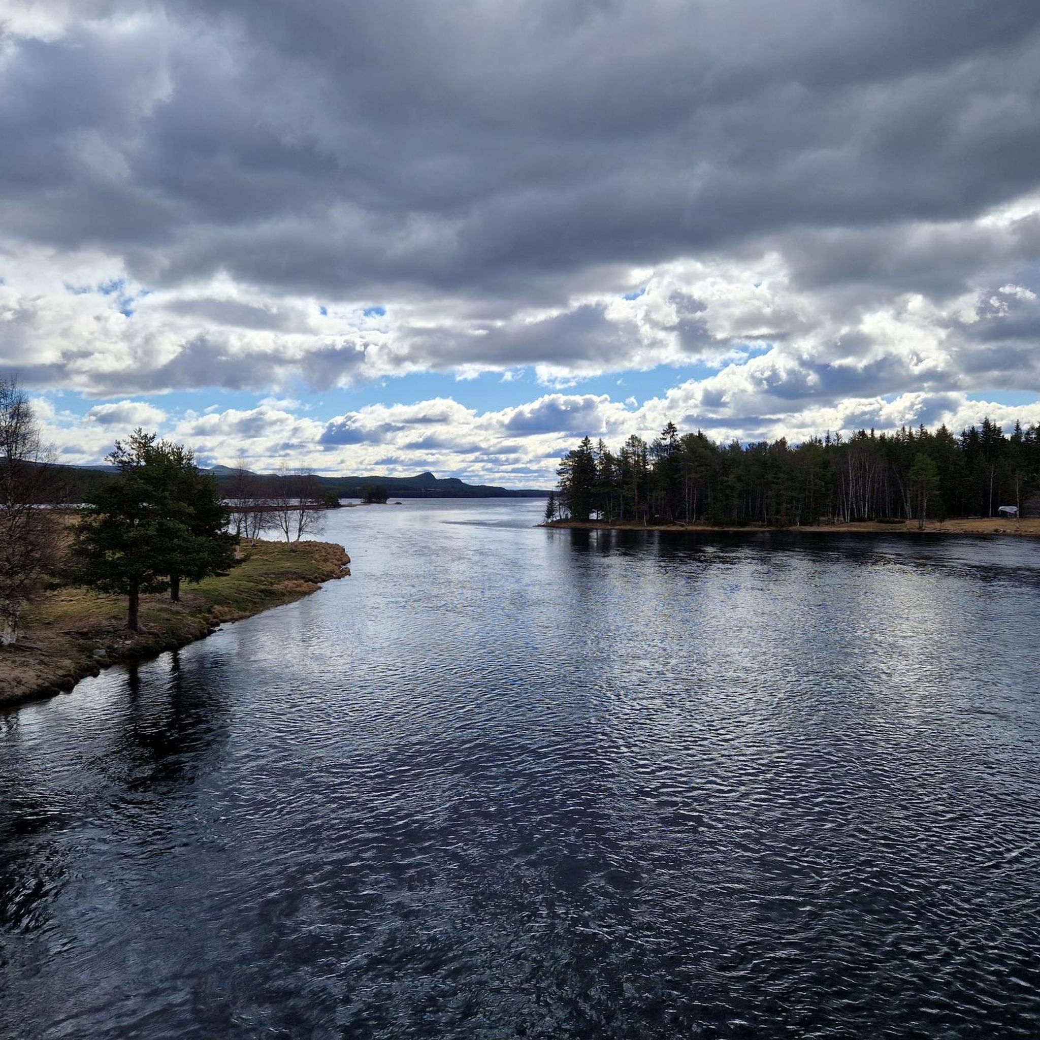
Hiking in Sundbäcken, a nature reserve in Dalecarlia, Sweden, offers a unique landscape for outdoor activities. The area is characterized by extensive pine forests, wetlands, and a distinctive topography featuring rough, rocky moraine ground, small hills, and erosion channels. This varied terrain, underlain by Jotnian sandstone and diabase, provides a challenging and adventurous hiking experience.
Best hiking trails in Sundbäcken
- The most popular hiking route is Sundbäcken loop from Fjällfotens stugby, a 5.8 miles (9.3 km) trail that takes…
Last updated: July 1, 2026
1.5
(2)
5
hikers
9.35km
02:34
150m
140m
Moderate hike. Good fitness required. Easily-accessible paths. Suitable for all skill levels.
12
hikers
5.89km
01:34
60m
60m
Easy hike. Great for any fitness level. Easily-accessible paths. Suitable for all skill levels.

Sign up for free
2
hikers
Moderate hike. Good fitness required. Easily-accessible paths. Suitable for all skill levels.
3
hikers
6.84km
01:49
70m
70m
Easy hike. Great for any fitness level. Easily-accessible paths. Suitable for all skill levels.
2
hikers
6.91km
01:51
80m
80m
Easy hike. Great for any fitness level. Easily-accessible paths. Suitable for all skill levels.
Get access to more routes and recommendations from other explorers.
Sign up for free
Already have an account?
Our route recommendations are based on thousands of hikes, rides, and runs completed by other people on komoot.
Start today with a free account
Your next adventure awaits.
Login or Signup
Popular around Sundbäcken
Tips from the Community

The chapel is very rustic with a very old floor.
0
0

Highest point of Himmelfjäll
1
0
Frequently Asked Questions
How many hiking trails are available in Sundbäcken?
Sundbäcken offers a diverse network of over 40 hiking routes. These include 13 easy trails, 24 moderate trails, and 3 difficult trails, catering to various experience levels.
What kind of terrain can I expect when hiking in Sundbäcken?
The terrain in Sundbäcken is notably varied and often demanding. You'll encounter rough, rocky moraine ground, small hills, and a system of erosion channels. The landscape is dominated by pine forests, with wetlands and watercourses also present, making for an adventurous hiking experience.
Are there any specific natural features or landmarks to look out for?
Yes, Sundbäcken is rich in natural features. Hikers can observe extensive pine forests, diverse wetlands, and unique geological formations like large diabase blocks and Jotnian sandstone. The area also boasts a rich flora, including species like devil's-bit scabious and common spotted orchid, particularly in lime-influenced areas. The small Sundbäcken stream and Spångmyrbäcken also traverse the reserve.
Are there any circular hiking routes in Sundbäcken?
Yes, there are several circular routes available. One popular option is the Sundbäcken loop from Fjällfotens stugby, a moderate 9.3 km trail that explores the varied terrain of the area.
What is the best time of year to hike in Sundbäcken?
While specific seasonal recommendations aren't detailed, the diverse flora and demanding terrain suggest that spring, summer, and early autumn would offer the most pleasant hiking conditions. These seasons allow for better appreciation of the rich plant life and easier navigation of the rocky ground.
Is Sundbäcken suitable for family hikes?
Yes, Sundbäcken offers options suitable for families. There are 13 easy trails available, such as the Start of Idre Hausloipe – Idre Church loop from Idre, which is an easy 5.9 km path. These routes provide a gentler experience for families with children.
Can I bring my dog on the trails in Sundbäcken?
While the reserve is a natural area, specific rules regarding dogs are not provided. It is generally advisable to keep dogs on a leash in nature reserves to protect wildlife and respect other hikers. Always check local regulations before your visit.
Where can I park when visiting Sundbäcken?
The nature reserve is located approximately 3 km north of Idre village. While specific parking areas within the reserve are not detailed, visitors typically park near access points or trailheads. Given its proximity to Idre, parking options might be available closer to the village or designated starting points for trails like the Sundbäcken loop from Fjällfotens stugby.
Is public transport available to Sundbäcken?
Information on direct public transport to the Sundbäcken Nature Reserve is not readily available. Given its location 3 km north of Idre village, accessing the reserve likely requires personal transportation or a short journey from Idre.
What do other hikers say about Sundbäcken?
The hiking routes in Sundbäcken are highly rated by the komoot community, with an average score of 4.3 stars from over 180 reviews. Hikers often praise the varied terrain and the adventurous experience offered by the reserve's unique landscape.
Are there easy hiking options in Sundbäcken?
Yes, Sundbäcken provides 13 easy hiking routes. An example is the Idre Church – Start of Idre Hausloipe loop from Idresjön, a 6.8 km trail that can be completed in about 1 hour 49 minutes, offering a gentle walk near Lake Idresjön.
What makes the hiking in Sundbäcken challenging?
The challenging aspect of hiking in Sundbäcken stems from its unique topography. The reserve features rough, rocky moraine ground, small hills, and a system of erosion channels, creating a broken and demanding landscape that requires careful navigation and offers a more strenuous experience.

Get inspired with the komoot mobile app


Explore more
Browse the best Hikes in other regions.
