The best road cycling routes in Bräntings
174
riders
9
rides
Road cycling in Bräntings, located in northern Gotland, Sweden, offers an extensive network of small, winding roads across largely flat terrain. The region is characterized by diverse coastlines, including sandy beaches and dramatic rauk fields, alongside numerous natural reserves. Cyclists can explore enchanting ivy-covered forests and lush meadows, with routes often passing through quiet country roads. This varied landscape provides accessible road cycling experiences throughout the area.
Best road cycling routes in Bräntings
- The most popular road cycling route is…
Last updated: June 28, 2026
4
riders
30.9km
01:55
120m
120m
Moderate road ride. Great for any fitness level. Some segments of this route may be unpaved and difficult to ride.
14
riders
42.3km
01:42
150m
150m
Moderate road ride. Great for any fitness level. Some segments of this route may be unpaved and difficult to ride.

Sign up for free
6
riders
34.3km
01:31
140m
140m
Moderate road ride. Great for any fitness level. Some segments of this route may be unpaved and difficult to ride.
10
riders
59.2km
02:20
190m
190m
Moderate road ride. Good fitness required. Mostly well-paved surfaces and easy to ride.
8
riders
38.8km
01:33
130m
130m
Easy road ride. Great for any fitness level. Mostly well-paved surfaces and easy to ride.
Get access to more routes and recommendations from other explorers.
Sign up for free
Already have an account?
Our route recommendations are based on thousands of hikes, rides, and runs completed by other people on komoot.
Start today with a free account
Your next adventure awaits.
Login or Signup
Popular around Bräntings

Tips from the Community

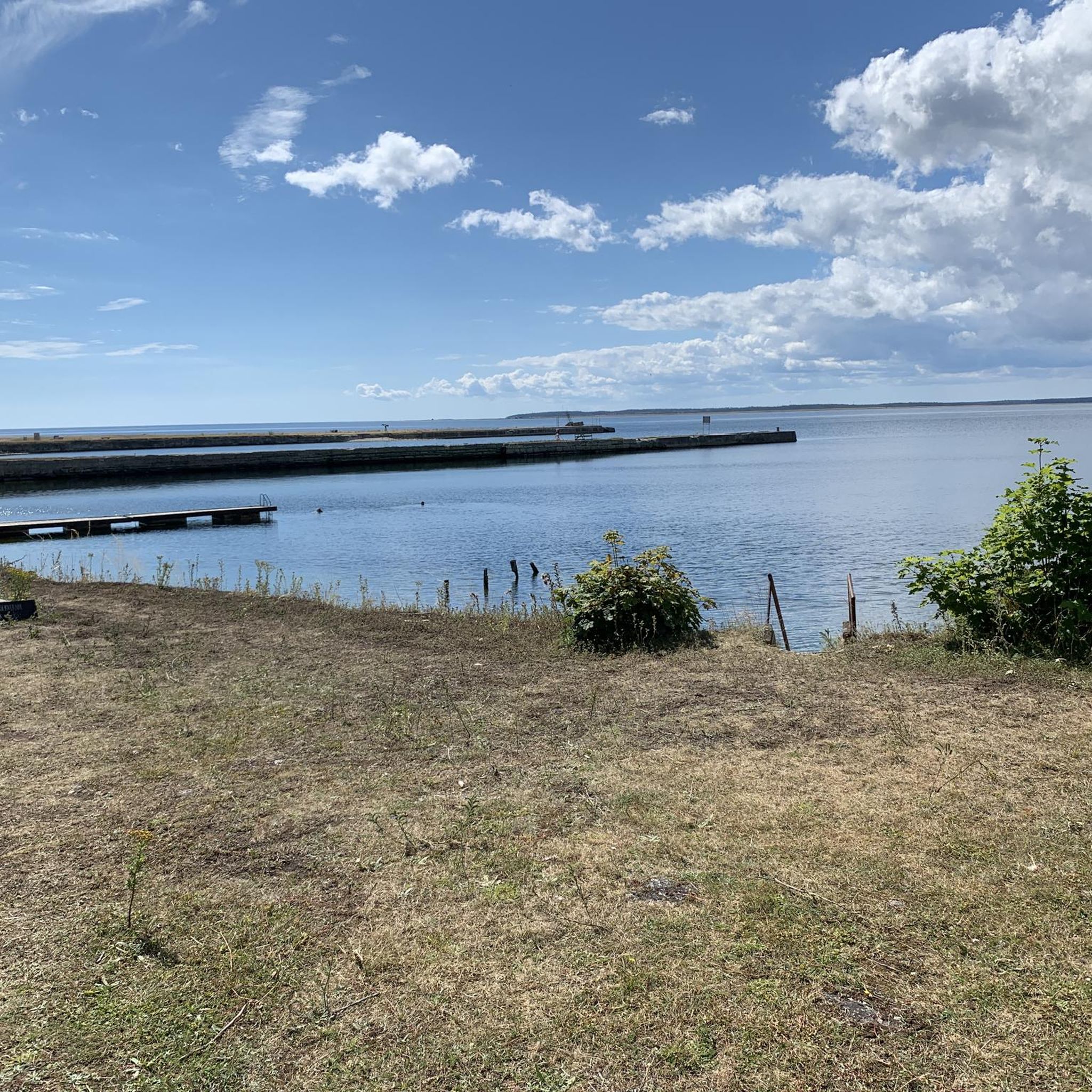
While you hike along the Strandvägen, take a moment to embrace the scenic view of the Baltic Sea. If you are lucky, the bright yellow ferry arrives or leaves for the island of Fårö or Gotska Sandön.
1
0
Fårösund is a picturesque coastal town close to the island of Fårö, which captivates with its quiet beauty and proximity to nature. You can walk along the coast, explore historical sites and enjoy impressive views of the Baltic Sea. The town has a small café, a restaurant and – of course – the famous Swedish cinnamon buns!
2
0

Founded in 1907, the Bungemuseet is the largest open-air museum on the island of Gotland.
1
1

The open-air museum at Bunge is a folk museum which shows how the Gotlandic peasants of the past lived. The pre-history of Gotland is represented by several reconstructed graves, as well, as by picture stones. The four picture stones have all been moved from Hammarsänge, in the parish of Lärbro, and raised as they once would have stood. Picture stones are prehistoric monuments, only to be found on Gotland.The oldest type is from the fifth century, and is believed to be a grave stone. The four much taller picture stones, from the eighth century, are more likely to be memorial stones, although graves are often found nearby. https://www.bungemuseet.se/en/
2
0
The open-air museum at Bunge is a folk museum which shows how the Gotlandic peasants of the past lived. The pre-history of Gotland is represented by several reconstructed graves, as well, as by picture stones. The four picture stones have all been moved from Hammarsänge, in the parish of Lärbro, and raised as they once would have stood. Picture stones are prehistoric monuments, only to be found on Gotland.The oldest type is from the fifth century, and is believed to be a grave stone. The four much taller picture stones, from the eighth century, are more likely to be memorial stones, although graves are often found nearby. https://www.bungemuseet.se/en/
0
0
Frequently Asked Questions
What kind of terrain can I expect when road cycling in Bräntings?
Bräntings, located in northern Gotland, offers largely flat terrain, making it very accessible for road cycling. You'll find an extensive network of small, inviting, and winding roads, particularly along the coast. The landscape features diverse coastlines, from sandy beaches to dramatic rauk fields and steep rocky shores, alongside numerous nature reserves with ivy-covered forests and lush meadows.
Are there road cycling routes suitable for beginners in Bräntings?
Yes, Bräntings has routes suitable for various skill levels. Out of the 9 road cycling routes available, 2 are classified as easy, making them ideal for beginners or those looking for a more relaxed ride. The generally flat terrain of Gotland contributes to a pleasant experience for less experienced cyclists.
What are some notable natural features or landmarks I might see while cycling in Bräntings?
The region is rich in natural beauty. You can expect to see unique geological formations like rauk fields (limestone sea stacks) along the coast, especially on routes such as the Lergrav sea stacks – Fårösund loop from Furilden. The area also boasts over 100 nature reserves, offering views of ivy-covered forests, lush meadows, and diverse birdlife, including soaring eagles.
Are there any circular road cycling routes in Bräntings?
Yes, many of the road cycling routes in Bräntings are designed as loops, allowing you to start and end at the same point. Examples include the popular Lergravsviken loop from Sandhamn and the Roadbike loop from Storholmens naturreservat, which winds through a nature reserve.
What is the best time of year for road cycling in Bräntings?
Gotland is often described as a dream destination for cyclists, with its tranquil and scenic roads. While specific weather forecasts vary, the warmer months, typically spring through early autumn, offer the most pleasant conditions for exploring the island's diverse landscapes. The extensive network of roads allows for enjoyable cycling at your own pace, immersing in nature's sights and sounds.
Can I find cafes or places to stop for refreshments along the road cycling routes?
Yes, as you cycle along the quiet country roads of Gotland, you'll often encounter charming cafes and farm shops. These provide excellent opportunities to take a break, enjoy local refreshments, and experience the island's local craftsmanship and hospitality.
How many road cycling routes are available in Bräntings?
There are 9 road cycling routes available in Bräntings, offering a variety of distances and experiences. These routes range from easy to moderate difficulty, catering to different preferences and fitness levels.
What do other road cyclists enjoy about cycling in Bräntings?
Over 170 road cyclists have used komoot to explore Bräntings. Cyclists often praise the region's diverse coastlines, quiet country roads, and the opportunity to cycle through beautiful nature reserves. The largely flat terrain and well-established cycling infrastructure are also frequently highlighted as positive aspects.
Are there any longer, more challenging road cycling routes in the Bräntings area?
While Bräntings is known for its accessible, largely flat terrain, there are longer routes for those seeking more distance. For example, the Fårö Lighthouse – Langhammars Sea Stacks loop from Fårösund covers approximately 78.4 km (48.7 miles), offering a more extended ride through coastal areas and past significant landmarks.
What historical or cultural points of interest can be found near the cycling routes?
Beyond its natural beauty, Gotland offers a rich history. While cycling, you might encounter medieval ruins, ancient rune stones, and the UNESCO World Heritage site of Visby, which provides significant cultural points of interest. The island's history is woven into its landscape, offering cultural insights along many routes.
Is public transport available to access road cycling routes in Bräntings?
Gotland has a public transport network, though its extent in very rural areas like Bräntings might be limited. For detailed information on public transport options to specific starting points for cycling routes, it's advisable to check local bus schedules or consider bringing your bike by car to a suitable parking spot near a trailhead.
Are there any specific nature reserves that road cyclists can explore in Bräntings?
Bräntings is situated within a region rich in nature reserves. The Roadbike loop from Storholmens naturreservat is an excellent example of a route that winds directly through a nature reserve, allowing cyclists to experience the region's natural beauty firsthand. Gotland boasts over 100 nature reserves, many of which are accessible by road.

Get inspired with the komoot mobile app


Explore more
Browse the best Road cycling routes in other regions.
