The best walks and hikes in Bräntings
4.8
(12)
68
hikers
9
hikes
Hiking in Bräntings offers diverse landscapes within its 184-hectare nature reserve on Gotland, Sweden. The region is characterized by extremely low-growing alvar pine forests, open alvar areas, and lush leafy meadows. Hikers can explore unique geological formations such as barren bedrock forests, lime alvar, and gravel alvar, alongside wetlands and bogs. Ancient juniper bushes and pine forests further define the natural environment.
Best hiking trails in Bräntings
- The most popular hiking route is Birdwatching Tower at Furilden – Furillen Island…
Last updated: June 28, 2026
4.8
(6)
28
hikers
Moderate hike. Good fitness required. Easily-accessible paths. Suitable for all skill levels.
2
hikers
4.99km
01:17
20m
20m
Easy hike. Great for any fitness level. Easily-accessible paths. Suitable for all skill levels.

Sign up for free
5.0
(1)
5
hikers
2.04km
00:31
10m
10m
Easy hike. Great for any fitness level. Easily-accessible paths. Suitable for all skill levels.
5.0
(1)
3
hikers
5.79km
01:30
30m
30m
Easy hike. Great for any fitness level. Easily-accessible paths. Suitable for all skill levels.
5.0
(2)
11
hikers
Easy hike. Great for any fitness level. Easily-accessible paths. Suitable for all skill levels.
Get access to more routes and recommendations from other explorers.
Sign up for free
Already have an account?
Our route recommendations are based on thousands of hikes, rides, and runs completed by other people on komoot.
Start today with a free account
Your next adventure awaits.
Login or Signup
Popular around Bräntings

Tips from the Community

Swans cruise around here.
0
0

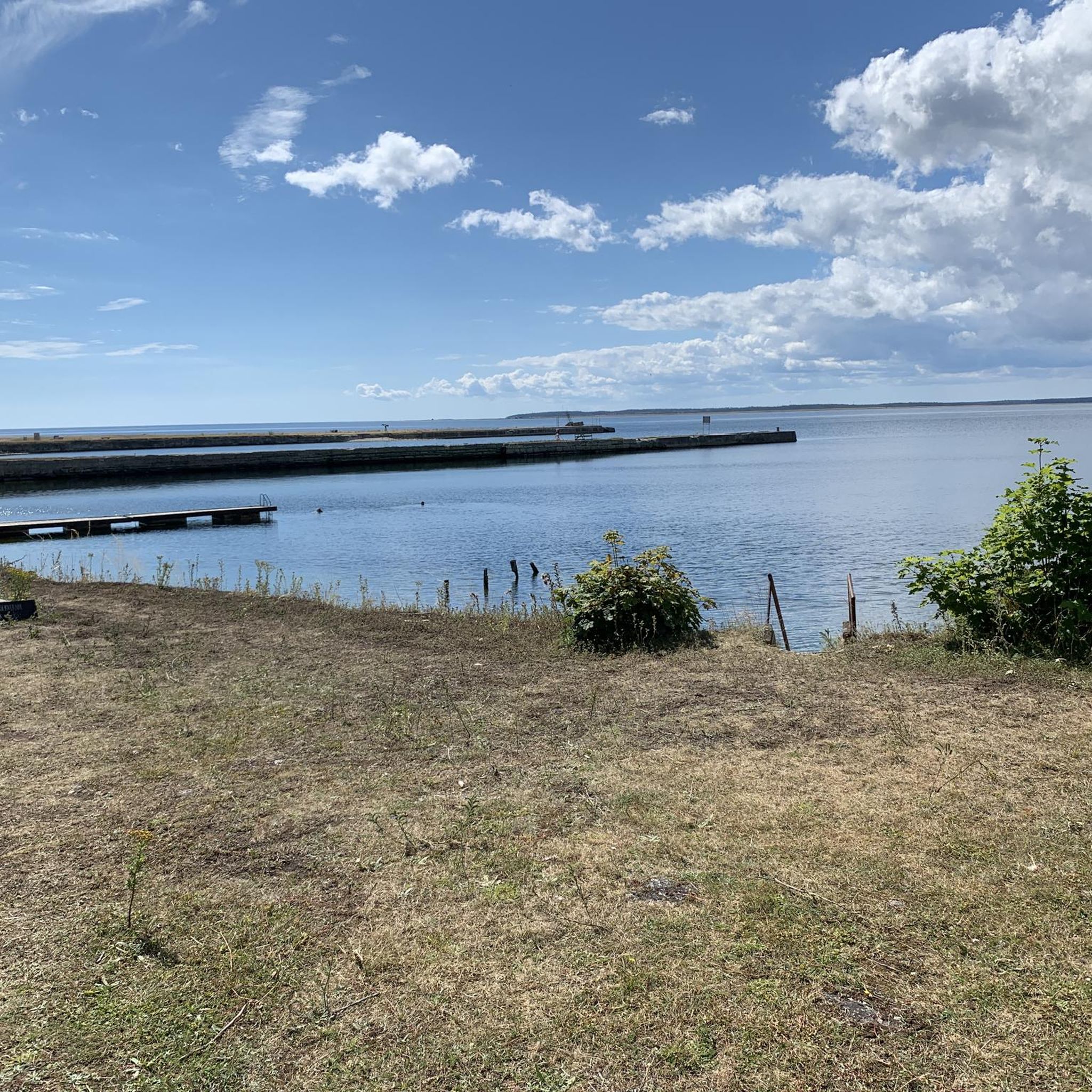
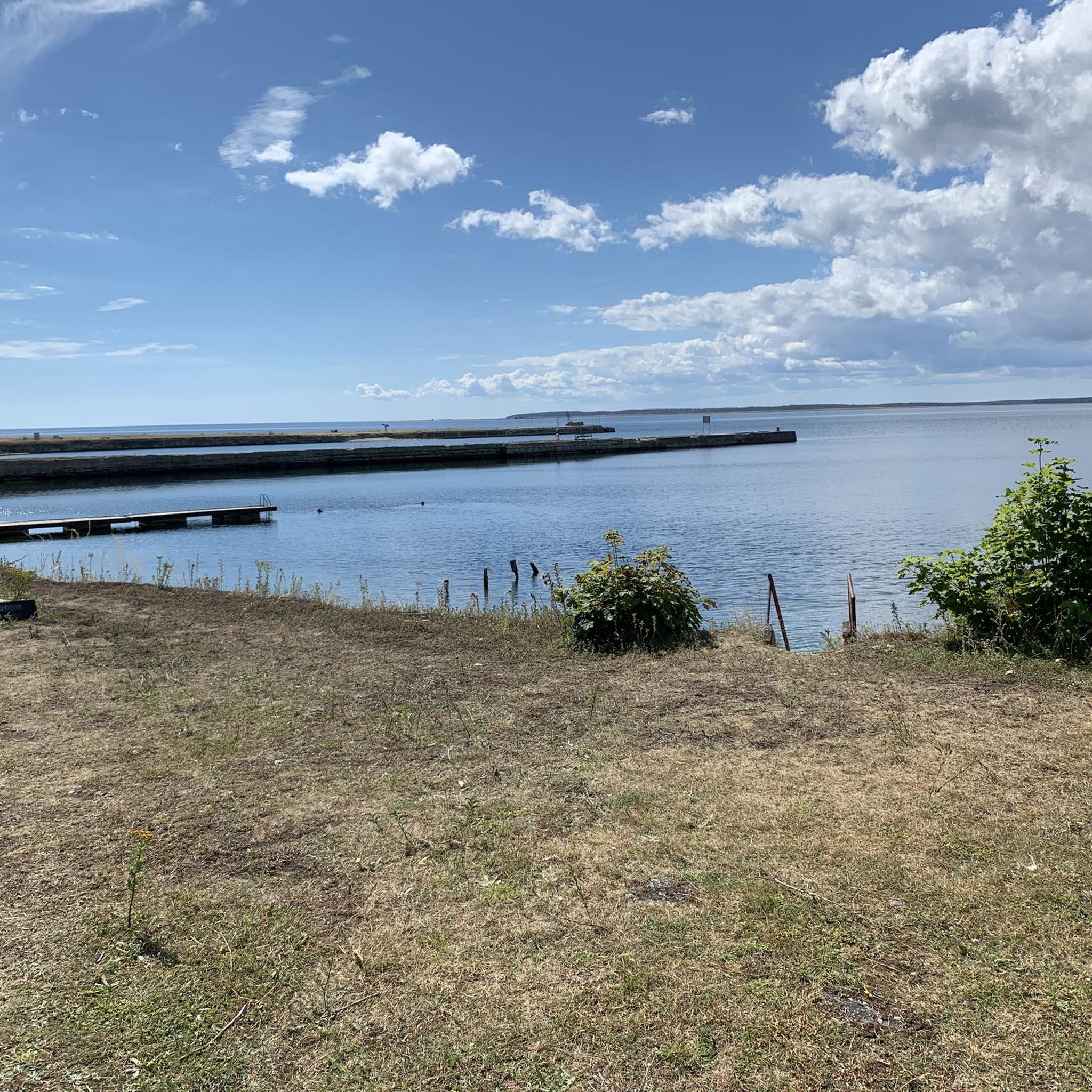
While you hike along the Strandvägen, take a moment to embrace the scenic view of the Baltic Sea. If you are lucky, the bright yellow ferry arrives or leaves for the island of Fårö or Gotska Sandön.
1
0
Fårösund is a picturesque coastal town close to the island of Fårö, which captivates with its quiet beauty and proximity to nature. You can walk along the coast, explore historical sites and enjoy impressive views of the Baltic Sea. The town has a small café, a restaurant and – of course – the famous Swedish cinnamon buns!
2
0


a view from above
0
0

Frequently Asked Questions
How many hiking trails are available in Bräntings?
Bräntings offers a selection of 9 hiking routes. These trails cater to various preferences, with 8 routes classified as easy and 1 as moderate, ensuring options for different skill levels.
Are there easy hiking options suitable for beginners in Bräntings?
Yes, Bräntings is very beginner-friendly. Out of the 9 available routes, 8 are classified as easy. An excellent option for an easy walk is the Seaside Picnic Area – View of the Pebble Beach loop from Bungenäs naturreservat, which is 3.7 miles (5.9 km) long and offers pleasant coastal views.
Are dogs allowed on the hiking trails in Bräntings?
Bräntings Nature Reserve is generally welcoming to dogs, but they must be kept on a leash to protect wildlife and other visitors. Always ensure your dog is under control and that you clean up after them to preserve the natural environment.
Are there family-friendly hiking trails in Bräntings?
Yes, many of the easy trails in Bräntings are suitable for families. The diverse landscapes, including alvar areas and wetlands, offer interesting sights for children. The Fårösund Path of Health is an easy 3.1-mile (5 km) route that provides a gentle experience for all ages.
What kind of landscapes and natural features can I expect to see while hiking in Bräntings?
Bräntings offers a remarkably diverse landscape. You'll encounter unique alvar pine forests, open alvar areas with wetlands, and lush leafy meadows. The terrain includes barren bedrock forests, lime alvar, and gravel alvar. Look out for ancient juniper bushes, some over 250 years old, and various wetlands like Brutmyr and Bläckvätar, which contribute to the area's rich biodiversity.
Are there any historical or archaeological sites to explore in Bräntings?
Beyond its natural beauty, Bräntings holds historical intrigue. Hikers can discover traces of settlement from the younger Iron Age, including several house foundations known as 'kämpgravar'. These remnants add a fascinating historical dimension to your hike.
Are there circular hiking routes available in Bräntings?
Yes, Bräntings features several circular routes, perfect for exploring the area without retracing your steps. A popular option is the Hiking loop from Furillen, which is 3.6 miles (5.8 km) and takes about 1 hour 29 minutes to complete, leading through varied terrain.
Where can I park when visiting Bräntings for a hike?
Specific parking information for Bräntings trailheads can vary. It is advisable to check local signage upon arrival or consult detailed maps for designated parking areas near popular access points to the nature reserve.
Is Bräntings accessible by public transport?
Access to Bräntings by public transport can be limited. While some bus routes may operate in the general vicinity of Rute parish on Gotland, direct access to specific trailheads within the nature reserve might require a short walk or alternative transport. Planning your journey in advance is recommended.
What is the best time of year to go hiking in Bräntings?
The best time to hike in Bräntings is generally during the spring, summer, and early autumn months (May to September) when the weather is mild and the diverse flora, including orchids and alvar vegetation, is in bloom. Winter hiking is possible but may involve snow and ice, requiring appropriate gear and caution.
What should I bring for a hike in Bräntings?
For hiking in Bräntings, it's recommended to bring sturdy hiking shoes, weather-appropriate clothing, water, and snacks. Given the varied terrain, including wetlands, waterproof footwear can be beneficial. Don't forget a map or GPS device, especially if exploring less-trafficked areas, and binoculars for birdwatching near coastal sections.
Are there any places to eat or get refreshments near the hiking trails in Bräntings?
While Bräntings Nature Reserve itself is a natural area, there may be cafes or small eateries in nearby villages or towns on Gotland. It's a good idea to pack your own refreshments for your hike, especially if you plan to spend several hours exploring the trails.
What do other hikers enjoy most about hiking in Bräntings?
The komoot community highly rates hiking in Bräntings, with an average score of 4.8 stars from over 10 reviews. Hikers often praise the unique and diverse landscapes, from the alvar pine forests to the wetlands, and the opportunity to discover ancient juniper bushes and historical traces. The variety of easy and moderate trails also makes it appealing to a wide range of visitors.

Get inspired with the komoot mobile app


Explore more
Browse the best Hikes in other regions.
