The best road cycling routes in Vattenskyddsområde
5.0
(1)
69
riders
4
rides
Road cycling in Vattenskyddsområde features routes through diverse landscapes, often characterized by water-rich environments, open fields, and forests. The region's terrain includes flat, paved sections suitable for various skill levels, alongside routes with moderate elevation gains. These areas are typically designated for water protection, contributing to well-preserved natural surroundings. Road cyclists can expect to encounter lakeside scenery and riverine environments.
Best road cycling routes in Vattenskyddsområde
- The most popular road cycling route is Runn Runt Cycle Path loop from Grycksbo…
Last updated: June 28, 2026
9
riders
28.4km
01:07
110m
110m
Moderate road ride. Great for any fitness level. Some segments of this route may be unpaved and difficult to ride.
5.0
(1)
21
riders
53.5km
02:15
380m
380m
Moderate road ride. Good fitness required. Mostly well-paved surfaces and easy to ride.

Sign up for free
8
riders
59.7km
02:26
340m
340m
Moderate road ride. Good fitness required. Mostly well-paved surfaces and easy to ride.
30
riders
35.2km
01:39
290m
290m
Moderate road ride. Great for any fitness level. Some segments of this route may be unpaved and difficult to ride.
Our route recommendations are based on thousands of hikes, rides, and runs completed by other people on komoot.
Start today with a free account
Your next adventure awaits.
Login or Signup
Popular around Vattenskyddsområde
Tips from the Community

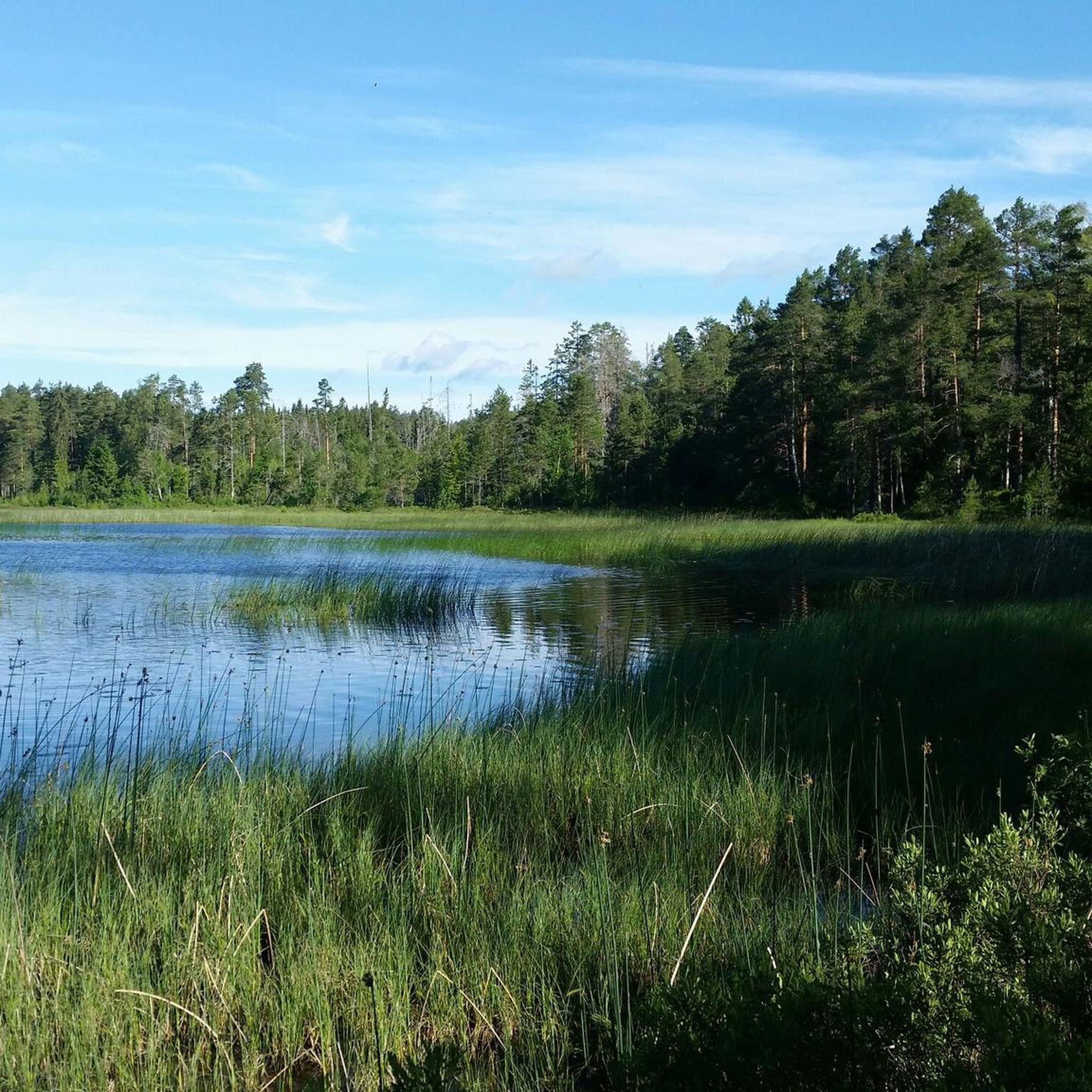
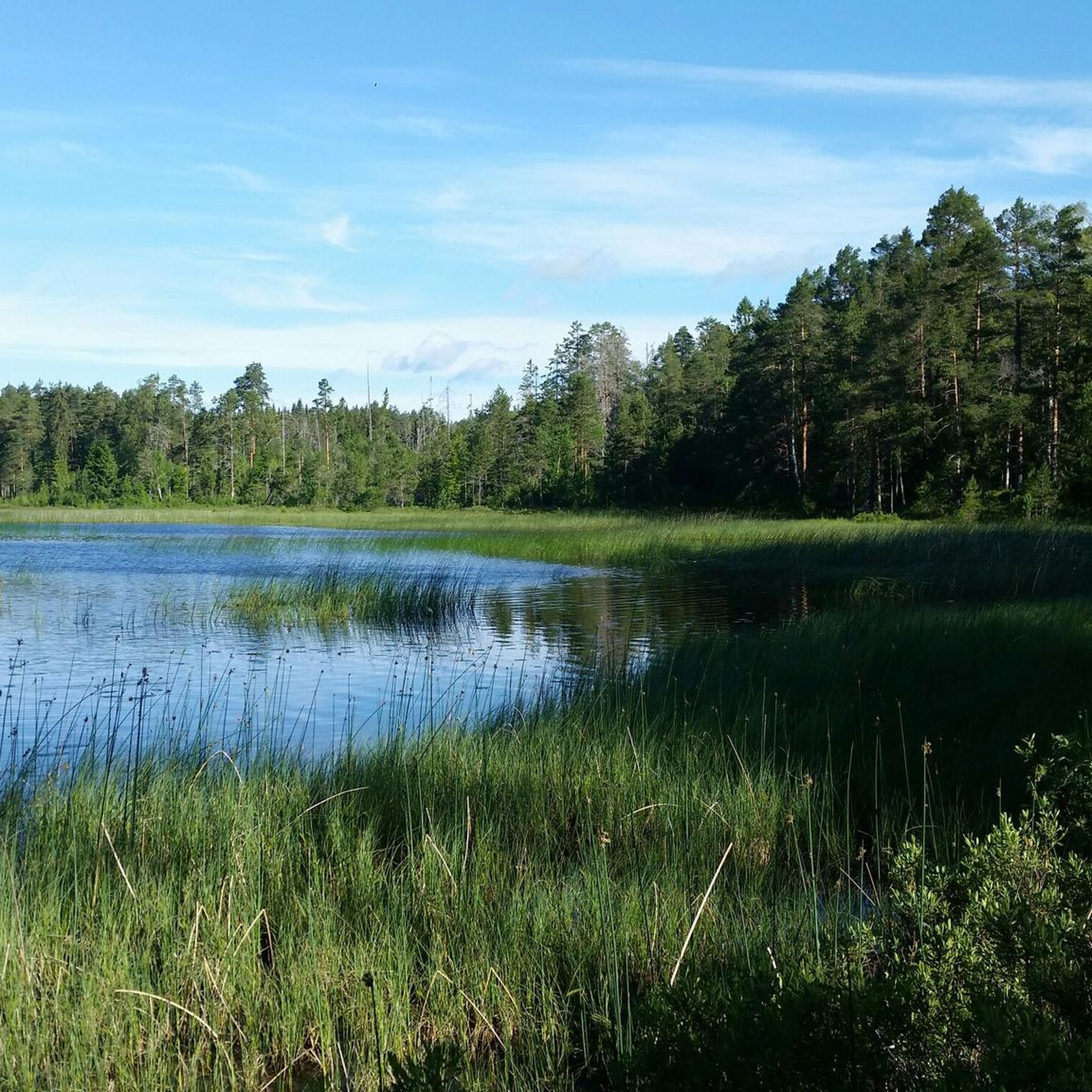
Right here you’ll find an information map of the Sli Halsans Stig from Falun. It shows all the nearby highlights around the lake and the walking routes you can explore.
0
0

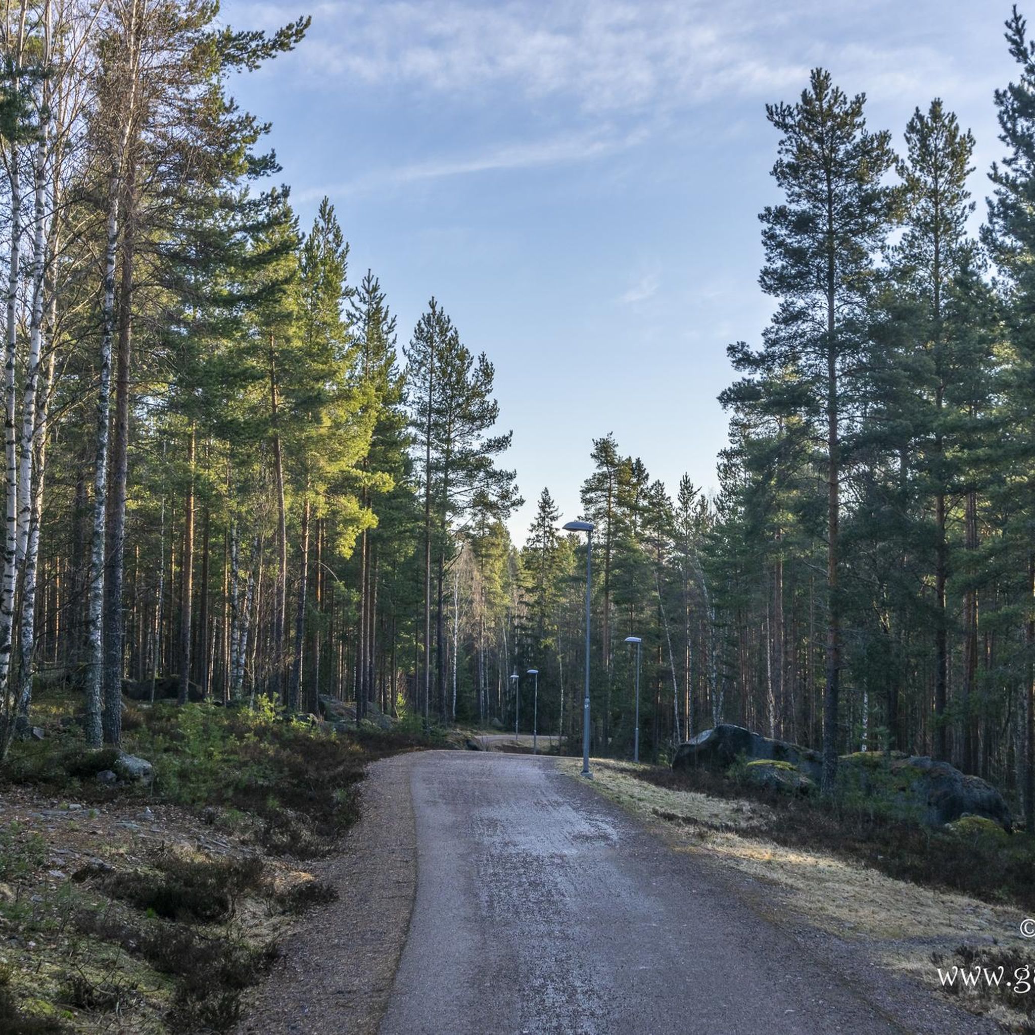
Runn Runt, always follow the red signs with 200 Runn Runt. The loop around Runn Runt is well-marked. You can expect beautiful views of Runn, two cafes, about 460 meters of elevation gain, and all kinds of paved surfaces, but mostly asphalt. The beautiful Vika Kyrka is worth a visit. Have fun 😉.
2
0
We were there on Sunday. The location was very popular. Many motorboats passed by. The holidays had just started in Sweden.
3
0
This is an old hut site in the southern bay of Lake Varpan. The old country road leads here to the northern part of Darlana. The stone bridge with its arches dates from the 18th century.
3
0

Torsångscafe, along the Runn Runt, is a cyclist's haven. Expect fika with lake views, perfect for refueling. It's a key stop on the route, offering local treats and a relaxed vibe. Ideal for a mid-ride break.
2
0

The path around Runn is amazing, offering stunning views throughout. You may occasionally share the road with cars and most of the path is paved.
1
0

South of Hult you enter a beautiful cultural landscape consisting of small strips of arable, stone walls, and clearance cairns. In Kopperbergslagen they used a form of crop rotation where by the land was alternately used as arable and meadow.
0
0
This was where the old Highway started towards northern Dalarba and Røros in Norway. Here you can see memorials in the form of a vaulted stone bridge from the eighteenth century and a milestone. There is a evidence of copper production at the site since the fifteenth century.
0
0
Frequently Asked Questions
How many road cycling routes are available in Vattenskyddsområde?
There are currently 4 road cycling routes listed in Vattenskyddsområde on komoot, all offering a moderate challenge through diverse landscapes.
What is the typical difficulty level for road cycling in Vattenskyddsområde?
The road cycling routes in Vattenskyddsområde are primarily of moderate difficulty. They feature varied terrain, including open fields, forests, and lakeside paths, with some routes incorporating moderate elevation gains. There are no routes specifically rated as easy or difficult.
Are there any family-friendly road cycling routes in Vattenskyddsområde?
While all routes are rated as moderate, the region's terrain often includes flat, paved sections that can be enjoyable for families with some cycling experience. Routes that follow lakeside paths, such as the Runn Runt Cycle Path loop from Grycksbo, offer consistent scenic views and are generally well-maintained.
What kind of scenery can I expect on road cycling routes in Vattenskyddsområde?
Road cycling in Vattenskyddsområde offers diverse scenery, characterized by water-rich environments, open fields, and forests. You can expect scenic rides along coastlines or lakesides, through wetlands and riverine environments, and past charming villages. The region's designation as a water protection area contributes to well-preserved natural surroundings.
Are there circular road cycling routes available in Vattenskyddsområde?
Yes, all the listed road cycling routes in Vattenskyddsområde are circular. For example, the Lilltorpet Lake – Runn Runt Cycle Path loop from Smedsbo is a popular circular route exploring areas around two lakes.
What is the best time of year for road biking in Vattenskyddsområde?
The best time for road biking in Vattenskyddsområde is generally during the warmer months when the weather is mild and the paths are clear. Spring, summer, and early autumn offer pleasant conditions to enjoy the diverse landscapes and lakeside scenery. Winter cycling may be challenging due to snow and ice.
What do other road cyclists enjoy most about road cycling in Vattenskyddsområde?
The area is highly rated by the komoot community, with an average score of 5.0 stars. Cyclists often praise the consistent lakeside views, varied terrain through forests and open landscapes, and the well-maintained nature of the paths.
Are there any places to stop for refreshments or cafes along the routes?
While specific cafes are not listed for each route, cycling routes in Sweden often pass through charming villages. These offer opportunities to stop at farm shops, vineyards, cafés, and restaurants, allowing cyclists to experience local culture and cuisine.
What are the typical lengths of road cycling routes in Vattenskyddsområde?
The road cycling routes in Vattenskyddsområde vary in length, ranging from shorter loops to longer excursions. For instance, the Runn Runt Cycle Path loop from Grycksbo is 28.4 km, while the Hi loop from Övermora extends to 59.7 km.
Can I expect viewpoints or scenic spots along the road cycling routes?
Yes, the region's water-rich environments and diverse landscapes naturally offer many scenic spots. Routes often feature consistent lakeside views, passages through lush forests, and open fields, providing ample opportunities for picturesque stops. The Lilltorpet Lake – View of the Lake and Village loop from Önsbacken is an example of a route designed to showcase beautiful lake and village vistas.
What are the general rules for cycling in nature in Vattenskyddsområde?
Cycling in nature in Sweden is generally permitted under the 'right of public access' (allemansrätten), provided it's done with care and respect for the environment and others. Cyclists can use natural areas and private roads or trails. However, it's important to avoid damaging the ground, stay on existing paths, and be mindful of sensitive areas. Specific restrictions may apply in national parks and nature reserves, or on certain hiking/jogging trails, and 'No Cycling' signs indicate such regulations.
Most popular routes in Vattenskyddsområde

Get inspired with the komoot mobile app


Explore more
Browse the best Road cycling routes in other regions.
