The best walks and hikes in Vattenskyddsområde
4.4
(19)
115
hikers
17
hikes
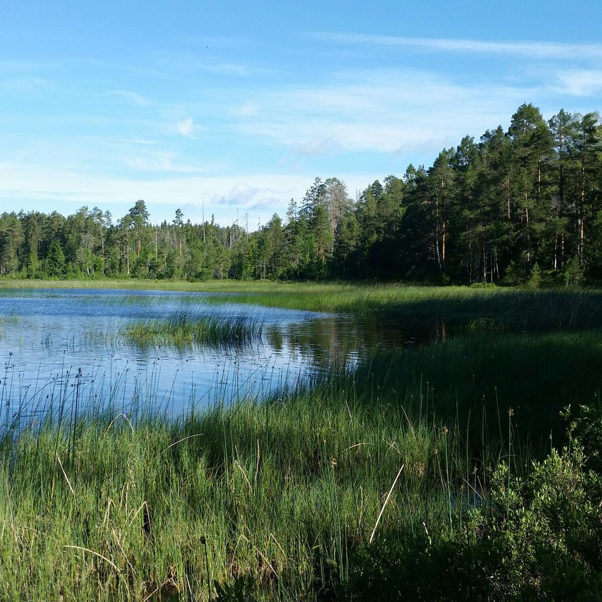
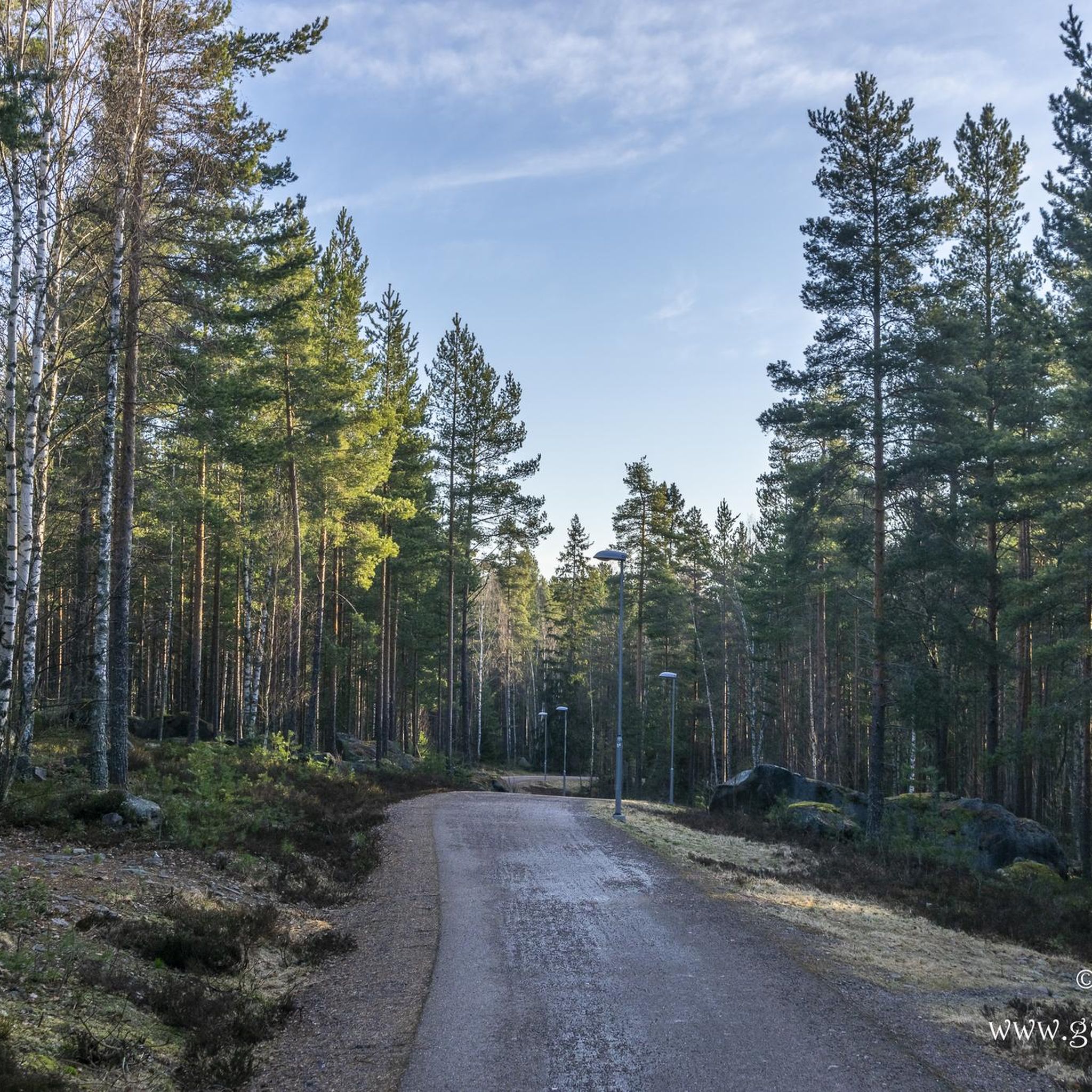
Hiking trails in Vattenskyddsområde, Sweden, are characterized by their pristine natural environments, preserved for safeguarding water sources. The region features tranquil forest lakes, often surrounded by quiet, extensive woodlands, providing shaded trails. Terrain varies from easily accessible paths to more demanding ascents, sometimes leading to viewpoints overlooking the serene water bodies. These areas maintain a high degree of natural beauty and ecological integrity, making them suitable for outdoor activities.
Best hiking trails in Vattenskyddsområde
- The most popular hiking route is…
Last updated: June 26, 2026
5.0
(1)
8
hikers
22.4km
06:05
310m
310m
Hard hike. Very good fitness required. Easily-accessible paths. Suitable for all skill levels.
5.0
(4)
18
hikers
16.6km
04:29
220m
220m
Moderate hike. Good fitness required. Easily-accessible paths. Suitable for all skill levels.

Sign up for free
4.8
(4)
15
hikers
8.85km
02:22
100m
100m
Moderate hike. Good fitness required. Easily-accessible paths. Suitable for all skill levels.
12
hikers
1.97km
00:31
10m
10m
Easy hike. Great for any fitness level. Easily-accessible paths. Suitable for all skill levels.
4
hikers
4.68km
01:16
60m
60m
Easy hike. Great for any fitness level. Easily-accessible paths. Suitable for all skill levels.
Get access to more routes and recommendations from other explorers.
Sign up for free
Already have an account?
Our route recommendations are based on thousands of hikes, rides, and runs completed by other people on komoot.
Start today with a free account
Your next adventure awaits.
Login or Signup
Tips from the Community


You can rent the sauna here for just 250 kr for two hours. In the summer, people enjoy swimming, and fishing is allowed with a license. In winter, the area is popular for cross-country skiing, and hiking is also a great option. The forest is rich in berries and mushrooms from August to September, making it a vibrant natural environment year-round.
0
0
The parking lots here are spacious, with several available around the lake. The beach features a fire pit, but you may need to bring your own wood to start a fire.
0
0

Lake Stangtjärn is one of Falun's most popular bathing and recreational areas and has excellent running trails and cross-country ski trails in winter.
0
0
The large bathing beach at Stångtjärn. Changing rooms and toilets are available. Parking is available directly behind the bathing area.
1
0
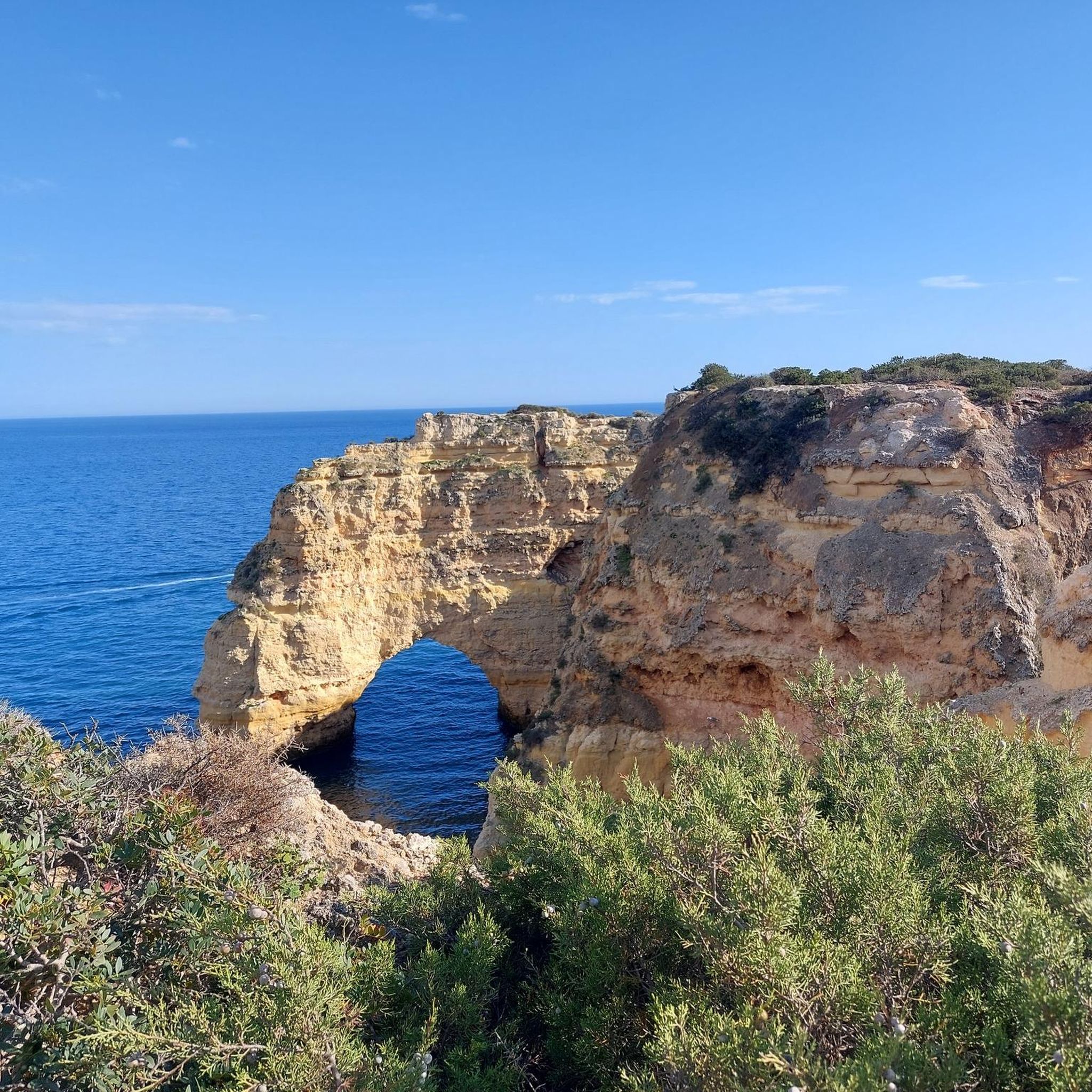
Beautiful sunset here but it was windy today so I couldn’t stand long enough to get a better photo. The whole way to come to this point is stunning
0
0
There are many trails around here to hike, bike, ski touring with the cross country skis. Beautiful forest and quiet from roads
0
0
If you come here in summer, you can pet the animals. I came in late autumn which the animals are all moved to somewhere warmer already. The sunset here is amazing
0
0
Frequently Asked Questions
How many hiking trails are available in Vattenskyddsområde?
Vattenskyddsområde offers a selection of 17 hiking trails, catering to various preferences and fitness levels. These routes explore the pristine natural environments of the water protection area.
Are there easy hiking trails suitable for beginners or casual walkers?
Yes, Vattenskyddsområde features 11 easy hiking trails. One accessible option is the Stångtjärn Lake – Stångtjärn Beach loop from Nubbsarvet, which is just under 2 km long and takes about 30 minutes to complete, offering a gentle introduction to the area's serene landscapes.
Can I find circular hiking routes in Vattenskyddsområde?
Many of the trails in Vattenskyddsområde are designed as circular routes, allowing you to start and end at the same point. For example, the Stångtjärn Lake – Pine Forest in Sweden loop from Puttbo Bergsmansgård is a moderate 8.4 km path that winds through quiet pine forests and along the shores of Stångtjärn Lake.
What kind of terrain can I expect on the hiking trails?
The terrain in Vattenskyddsområde is varied, ranging from easily accessible paths through extensive, quiet woodlands to more demanding ascents. You'll encounter serene forest lakes and sometimes elevated points offering rewarding views over the water bodies and surrounding nature.
Are there family-friendly hiking options in Vattenskyddsområde?
While specific 'family-friendly' designations aren't provided, the 11 easy trails are generally suitable for families. These shorter, less strenuous routes allow for enjoyable outings amidst the tranquil natural settings, often featuring gentle paths around the lakes.
What are the best times of year to hike in Vattenskyddsområde?
The region's natural beauty, characterized by forest lakes and woodlands, makes it appealing across seasons. Spring and autumn offer vibrant colors and comfortable temperatures, while summer provides longer daylight hours. Winter hiking is also possible, offering a different, serene experience of the snow-covered landscape.
Are there opportunities for winter hiking in Vattenskyddsområde?
Yes, the quiet woodlands and frozen lake views can be particularly beautiful in winter. While specific winter trail maintenance isn't detailed, the protected nature of the area ensures a peaceful, snow-covered environment for those prepared for colder conditions.
What kind of views can I expect on the trails?
Hikers can expect beautiful viewpoints overlooking serene forest lakes, some stretching for several square kilometers. These elevated perspectives offer opportunities to appreciate the scale of the natural landscape, with extensive woodlands surrounding the water bodies.
Is parking available at the trailheads?
While specific parking information for each trailhead is not detailed, many hiking areas in Sweden, especially those popular for recreation, typically offer designated parking facilities near common starting points. It is advisable to check individual route descriptions for precise parking details.
What do other hikers enjoy most about Vattenskyddsområde?
The komoot community highly rates the trails in Vattenskyddsområde, with an average score of 4.5 stars from 17 reviews. Hikers often praise the pristine natural environments, the tranquility of the forest lakes, and the varied terrain that offers options for different ability levels.
Are there any challenging routes for experienced hikers?
Yes, Vattenskyddsområde offers one challenging route for experienced hikers. The Stångtjärn Lake – Stångtjärn Beach loop from Kråkgården is a 22.4 km trail with over 300 meters of elevation gain, typically taking around 6 hours to complete, and offers expansive views around Stångtjärn Lake.
How long do hikes typically take in Vattenskyddsområde?
Hike durations vary significantly depending on the route and your pace. Easy trails like the Stångtjärn Lake – Stångtjärn Beach loop from Nubbsarvet can be completed in about 30 minutes, while moderate routes such as the Rowan Tree with Orange Berries – Stångtjärn Lake loop from Stångtjärn take around 4 hours 29 minutes. The most challenging route can take over 6 hours.
Most popular routes in Vattenskyddsområde

Get inspired with the komoot mobile app


Explore more
Browse the best Hikes in other regions.
