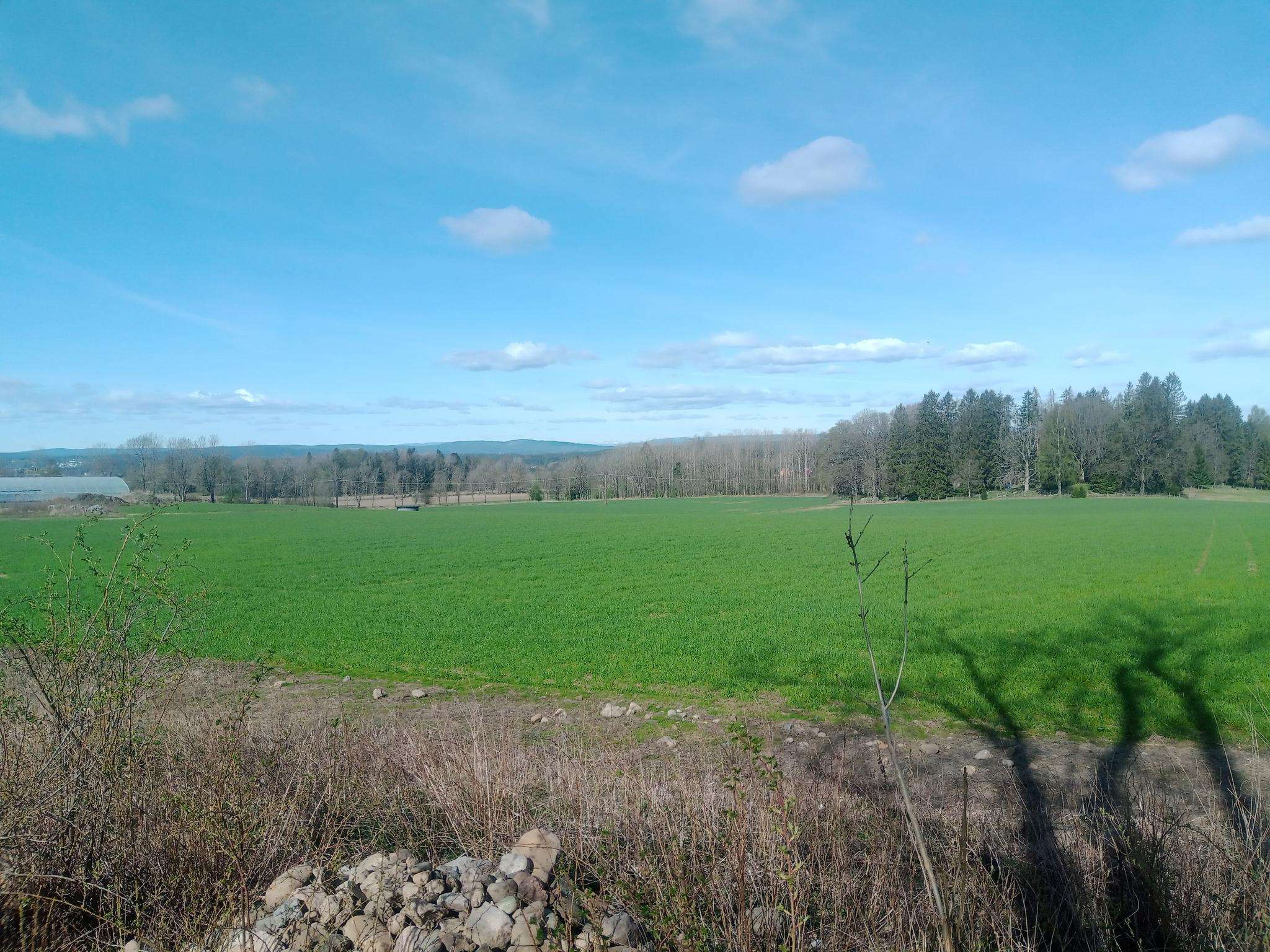
The best running trails in Gaupesteinmarka Naturreservat
4.5
(8)
463
runners
63
runs
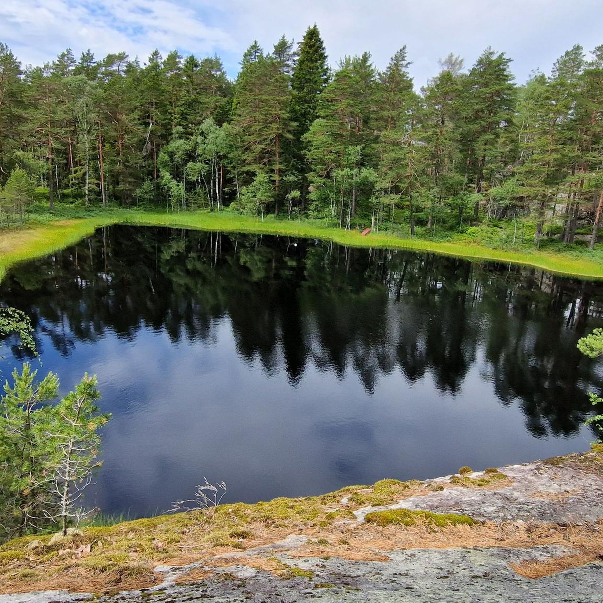
Jogging in Gaupesteinmarka Naturreservat offers a diverse experience across a well-preserved natural landscape. The region features rocky ridges with sparse pine and heather-blueberry forests, intersected by distinct transverse crack valleys. Old natural forests and the meandering Rustadelva River, with its rapids and significant deadwood, contribute to the varied terrain. The reserve also includes the Gaupestein Boulder and Gaupesteinåsen, the highest point at 266.9 meters above sea level.
Best jogging routes in Gaupesteinmarka Naturreservat
- The most popular jogging route is Mellegårdskula loop from Granerud, a 6.3 miles (10.1 km) trail that takes about 1 hour 10 minutes to complete. This moderate route offers a balanced running experience through varied forest terrain.
- Another top favourite among local runners is Bekkevaråsen – Mellegårdskula loop from Nordre Follo, a difficult 10.0 miles (16.1 km) path. This longer route includes more challenging sections and higher elevation gains, ideal for experienced runners.
- Local runners also love the Running loop from Tandbergløkka, a 5.4 miles (8.7 km) trail leading through forest landscapes, often completed in about 1 hour 1 minute.
- Jogging in Gaupesteinmarka Naturreservat is defined by rocky ridges, pine forests, and river valleys. The network offers options for different ability levels, from easy paths to more challenging sections.
- The routes in Gaupesteinmarka Naturreservat are highly rated by the komoot community with an average score of 4.7 stars from several reviews. More than 400 runners have used komoot to explore Gaupesteinmarka Naturreservat's varied terrain.
Last updated: June 28, 2026
4
runners
8.69km
01:01
100m
100m
Moderate run. Good fitness required. Mostly paved surfaces. Suitable for all skill levels.
4
runners
10.1km
01:09
110m
110m
Moderate run. Good fitness required. Mostly paved surfaces. Suitable for all skill levels.

Sign up for free
3
runners
10.5km
01:13
110m
110m
Moderate run. Good fitness required. Mostly paved surfaces. Suitable for all skill levels.
4
runners
16.1km
01:50
180m
180m
Hard run. Very good fitness required. Mostly paved surfaces. Suitable for all skill levels.
4
runners
9.20km
01:04
130m
130m
Moderate run. Good fitness required. Mostly paved surfaces. Suitable for all skill levels.
Get access to more routes and recommendations from other explorers.
Sign up for free
Already have an account?
Our route recommendations are based on thousands of hikes, rides, and runs completed by other people on komoot.
Start today with a free account
Your next adventure awaits.
Login or Signup
Popular around Gaupesteinmarka Naturreservat
Frequently Asked Questions
How many running routes are available in Gaupesteinmarka Naturreservat?
There are over 60 running routes documented in Gaupesteinmarka Naturreservat, offering a wide range of options for different fitness levels and preferences.
What kind of terrain can I expect on the jogging trails in Gaupesteinmarka Naturreservat?
The terrain in Gaupesteinmarka Naturreservat is quite varied. You'll encounter rocky ridges with sparse pine and heather-blueberry forests, intersected by distinct transverse crack valleys. There are also old natural forests and sections along the meandering Rustadelva River, which features rapids and significant deadwood, creating a dynamic and engaging running experience.
Are there any easy running routes suitable for beginners or casual joggers?
Yes, Gaupesteinmarka Naturreservat offers several routes suitable for beginners. While the guide highlights more moderate and difficult options, there are 2 easy routes available, and many of the 56 moderate routes can be enjoyed at a comfortable pace. These paths are generally accessible and accommodate various fitness levels.
What are some notable landmarks or natural features to look out for while running?
You can explore several interesting features. The reserve is named after the enormous Gaupestein Boulder, a popular spot for a break. The Rustadelva River offers dramatic sections, including 'Helvete' (Hell) with massive boulders and steep rapids. For panoramic views, the Hjellsåstårnet Observation Tower provides a pleasant viewpoint with picnic tables. Additionally, Gaupesteinåsen is the highest point in the reserve.
Are there any challenging trail running options for experienced runners?
Absolutely. For experienced runners seeking a challenge, there are 10 difficult routes in the reserve. A notable option is the Bekkevaråsen – Mellegårdskula loop from Nordre Follo, a 10-mile (16.1 km) path with more challenging sections and higher elevation gains, ideal for pushing your limits.
Are the running routes in Gaupesteinmarka Naturreservat suitable for families?
Many of the routes in Gaupesteinmarka Naturreservat are suitable for families, especially those looking for an active outdoor experience. The varied terrain includes easily accessible paths, making it possible to find routes that cater to different ages and fitness levels. Consider starting with some of the easier or moderate loops to ensure a pleasant experience for everyone.
Can I bring my dog on the jogging trails?
Gaupesteinmarka Naturreservat is generally welcoming to dogs, but it's important to check local regulations regarding leashing requirements and protected areas within the reserve. As a nature reserve, wildlife protection is a priority, so keeping your dog under control is essential.
Where can I park when visiting Gaupesteinmarka Naturreservat for a run?
While specific parking locations are not detailed in the route descriptions, areas around common starting points like Granerud, Tandbergløkka, or Nordre Follo often have designated parking. It's advisable to check maps or local signage upon arrival for the most convenient parking spots near your chosen trail.
What do other runners enjoy most about jogging in Gaupesteinmarka Naturreservat?
The area is highly rated by the komoot community, with an average score of 4.7 stars from numerous reviews. Runners often praise the diverse and well-preserved natural landscape, the variety of terrain from rocky ridges to river valleys, and the feeling of being deep within an ancient forest, especially along the Rustadelva River.
Are there any circular running routes in the reserve?
Yes, many of the running routes in Gaupesteinmarka Naturreservat are designed as loops, offering convenient circular paths. For example, the Mellegårdskula loop from Granerud and the Running loop from Tandbergløkka are popular circular options that allow you to start and finish at the same point.
What is the best season for running in Gaupesteinmarka Naturreservat?
Gaupesteinmarka Naturreservat offers unique running experiences throughout the year. Spring and autumn provide pleasant temperatures and beautiful foliage. Summer is ideal for longer runs, while winter, with proper gear, can transform the landscape into a serene, snow-covered wonderland. Always check local weather conditions before heading out.
How can I reach Gaupesteinmarka Naturreservat using public transport?
Gaupesteinmarka Naturreservat is located east of Ski city. While direct public transport to specific trailheads might be limited, you can typically reach Ski by train or bus, and then consider local bus services or a short taxi ride to get closer to the reserve's entry points. It's recommended to check local transport schedules for the most up-to-date information.
Most popular routes in Gaupesteinmarka Naturreservat

Get inspired with the komoot mobile app


Explore more
Browse the best Running Trails & Routes in other regions.
