The best road cycling routes in Gaupesteinmarka Naturreservat
4.9
(14)
624
riders
40
rides
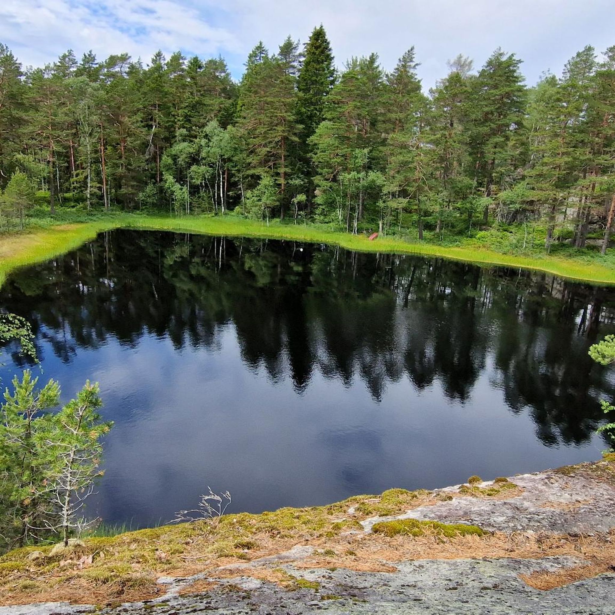
Road cycling routes in Gaupesteinmarka Naturreservat traverse a large, forested landscape primarily composed of spruce and pine. The terrain features barren pine ridges stretching northwest-southeast, interspersed with several transverse crack valleys. The highest point, Gaupesteinåsen, reaches 266.9 meters, offering varied elevation changes for road cyclists. This natural reserve provides a tranquil setting for cycling through a preserved environment.
Best road cycling routes in Gaupesteinmarka Naturreservat
- The most popular road cycling route is Ski Airport – View of the lake loop…
Last updated: July 12, 2026
5.0
(4)
37
riders
35.9km
01:34
340m
340m
Moderate road ride. Good fitness required. Mostly well-paved surfaces and easy to ride.
12
riders
62.5km
02:55
700m
700m
Moderate road ride. Good fitness required. Mostly well-paved surfaces and easy to ride.

Sign up for free
9
riders
40.5km
01:49
350m
350m
Moderate road ride. Good fitness required. Mostly well-paved surfaces and easy to ride.
9
riders
62.2km
02:40
540m
540m
Moderate road ride. Good fitness required. Mostly well-paved surfaces and easy to ride.
10
riders
59.7km
02:30
420m
420m
Moderate road ride. Good fitness required. Mostly well-paved surfaces and easy to ride.
Get access to more routes and recommendations from other explorers.
Sign up for free
Already have an account?
Our route recommendations are based on thousands of hikes, rides, and runs completed by other people on komoot.
Start today with a free account
Your next adventure awaits.
Login or Signup
Popular around Gaupesteinmarka Naturreservat
Tips from the Community


"Gamle Fossumbru" (Old Fossumbru) refers to the original bridge that spanned the Glomma River between Askim and Spydeberg, Norway, before it was replaced by the Fossumbru in 1961. The original bridge, a wooden arch structure, was partially destroyed during the Battle of Fossum Bridge during the Nazi invasion of Norway in 1940. The new Fossumbru, a suspension structure with a main span of 125 metres, is now the bridge that crosses the river at that location.
0
0

Nice little medieval church with information board. Water is available on the cemetery.
0
0
Quiet and fun road with constant ups and down. Recommended even for non-climbers because everything is better than riding on Elvestadveien(120).
0
0

Great road with very limited traffic, perfect for road cycling or bike touring.
0
0
Frequently Asked Questions
How many road cycling routes are available in Gaupesteinmarka Naturreservat?
There are over 40 road cycling routes in Gaupesteinmarka Naturreservat, offering a variety of distances and difficulty levels. These routes traverse a landscape of spruce and pine forests, barren pine ridges, and rolling hills.
What kind of terrain can I expect on road cycling routes in Gaupesteinmarka Naturreservat?
The road cycling routes in Gaupesteinmarka Naturreservat feature varied terrain, including spruce and pine forests, barren pine ridges, and several transverse crack valleys. You can expect rolling hills, with the highest point, Gaupesteinåsen, reaching 266.9 meters above sea level, providing varied elevation changes.
Are there road cycling routes suitable for beginners or families in the reserve?
Yes, Gaupesteinmarka Naturreservat offers several easy road cycling routes, with 4 routes specifically categorized as easy. These are ideal for beginners or families looking for a more relaxed ride through the natural environment.
What natural landmarks can I see while road cycling in Gaupesteinmarka Naturreservat?
While cycling, you might encounter notable natural landmarks such as the Gaupestein Boulder, a huge stone that gives the reserve its name and is a popular spot for a break. The area also features Vientjern Lake, around which several routes loop, and the Hjellsåstårnet Observation Tower, which offers expansive views and picnic tables.
Are there any viewpoints along the road cycling routes in Gaupesteinmarka Naturreservat?
Yes, the Hjellsåstårnet Observation Tower is a prominent viewpoint within the area, offering expansive views of the surrounding natural beauty. It also provides picnic tables, making it a great spot for a break during your ride.
What is the typical surface quality of road cycling routes in the reserve?
While Gaupesteinmarka Naturreservat is a nature reserve, Komoot lists dedicated road cycling routes. These routes often utilize a mix of paved roads and quiet back roads. For example, the Ski–Ås Bike Path – Garder Church Road loop from Tomter combines bike paths with rural roads. It's advisable to check specific route details for surface conditions.
Can I find places to rest or get refreshments along the routes?
While dedicated cafes directly on all routes might be limited, the Gaupesteinhytta, located just south of the reserve, is operated by the Tomter Scout Group and offers Sunday service during the ski season, potentially serving as a resting point. Additionally, the Hjellsåstårnet Observation Tower has picnic tables for a scenic break.
Are there circular road cycling routes available in Gaupesteinmarka Naturreservat?
Yes, many of the road cycling routes in Gaupesteinmarka Naturreservat are designed as loops, allowing you to start and end at the same point. Examples include the Ski Airport – View of the lake loop from Ytre Enebakk and the Lovely and quiet back road – Tomter Church loop from Tomter.
What do other road cyclists enjoy the most about road cycling in Gaupesteinmarka Naturreservat?
The area is highly rated by the komoot community, with an average score of 4.6 stars from 5 reviews. Cyclists often praise the tranquil, forested environment and the opportunity to cycle through a preserved natural setting. The varied terrain and the presence of natural landmarks like the Gaupestein Boulder also contribute to a rewarding experience.
What are the best times of year for road cycling in Gaupesteinmarka Naturreservat?
The best times for road cycling in Gaupesteinmarka Naturreservat are typically during the spring, summer, and early autumn months when the weather is milder and the roads are clear of snow and ice. These seasons offer the most pleasant conditions to enjoy the forested landscapes and natural features.
Are there specific regulations for cyclists within Gaupesteinmarka Naturreservat?
As a nature reserve, the primary focus is on preserving the natural environment. While specific cycling regulations for road bikes are not extensively detailed, general rules for nature reserves often emphasize staying on marked paths and respecting wildlife. It's always recommended to be mindful of the natural surroundings and other visitors.
Is parking available for road cyclists near Gaupesteinmarka Naturreservat?
While specific parking areas for cyclists are not detailed, access points to the reserve and surrounding areas often have designated parking. It is advisable to check the starting points of individual routes on Komoot for information on nearby parking facilities.
Most popular routes in Gaupesteinmarka Naturreservat

Get inspired with the komoot mobile app


Explore more
Browse the best Road cycling routes in other regions.
