The best running trails in Krokskogen Naturreservat
547
runners
27
runs
Jogging in Krokskogen Naturreservat offers diverse terrain across a forested and hilly area spanning approximately 300 square kilometers. The region is characterized by dense forests, significant elevation changes, and picturesque hilly landscapes, providing varied natural features for runners. Trails range from accessible paths to routes with substantial elevation gain, catering to different fitness levels. Notable features include geological formations like Mørkgonga Gorge and high points such as Gyrihaugen and Oppkuven.
Best jogging routes in Krokskogen Naturreservat
- The most popular jogging route is Damtjern – Gravmyrhaugen loop from Damtjern, an 8.6 miles (13.8 km) moderate trail that takes 1 hour 40 minutes to complete. This route leads through varied forest terrain with gentle elevation changes.
- Another top favourite among local runners is Haukåsen – Gravmyrhaugen loop from Damtjern, a difficult 12.2 miles (19.6 km) path. This route features more significant elevation changes and extends through the dense woodlands of the reserve.
- Local runners also love the Gyrihaugen loop from Mørkgonga naturreservat, a 5.9 miles (9.4 km) trail leading through hilly forests and offering views from high points, often completed in about 1 hour 28 minutes.
- Jogging in Krokskogen Naturreservat is defined by dense forests, hilly landscapes, and notable geological formations like Mørkgonga Gorge. The extensive trail network offers options for different ability levels, from moderate to difficult.
- The guide includes highly-rated routes that showcase the best of the region's landscape. More than 500 runners have used komoot to explore Krokskogen Naturreservat's varied terrain.
Last updated: June 26, 2026
10
runners
19.7km
02:27
260m
260m
Hard run. Very good fitness required. Mostly paved surfaces. Suitable for all skill levels.
8
runners
6.26km
00:42
110m
110m
Moderate run. Good fitness required. Mostly paved surfaces. Suitable for all skill levels.

Sign up for free
5
runners
10.3km
01:06
150m
150m
Moderate run. Good fitness required. Mostly paved surfaces. Suitable for all skill levels.
8
runners
20.4km
02:13
380m
380m
Hard run. Very good fitness required. Mostly paved surfaces. Suitable for all skill levels.
6
runners
34.7km
03:54
580m
580m
Hard run. Very good fitness required. Mostly paved surfaces. Suitable for all skill levels.
Get access to more routes and recommendations from other explorers.
Sign up for free
Already have an account?
Our route recommendations are based on thousands of hikes, rides, and runs completed by other people on komoot.
Start today with a free account
Your next adventure awaits.
Login or Signup

Tips from the Community

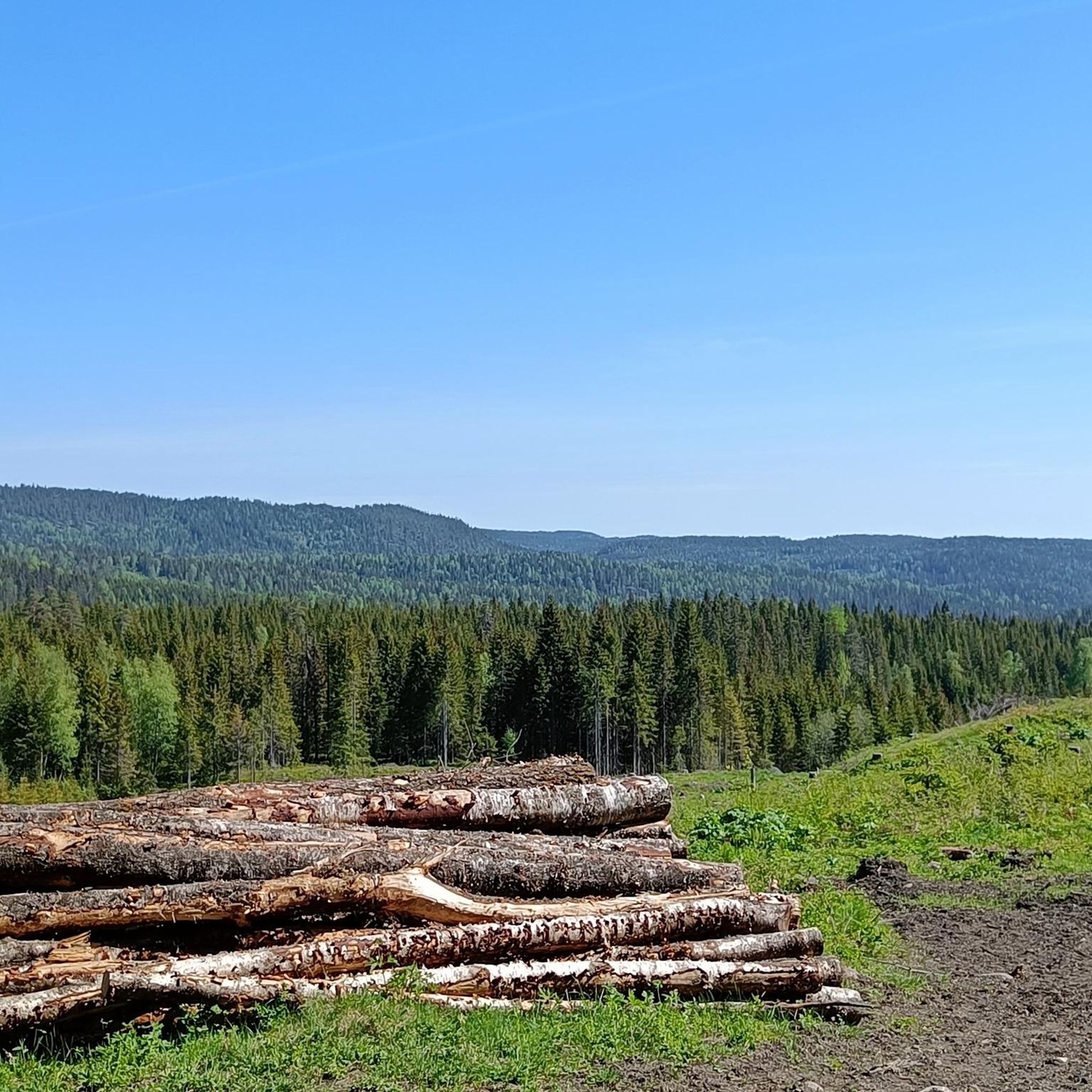
Vassendvika is a bay on the Storflåtan. Here you’ll find fire pits and a place to rest.
0
0

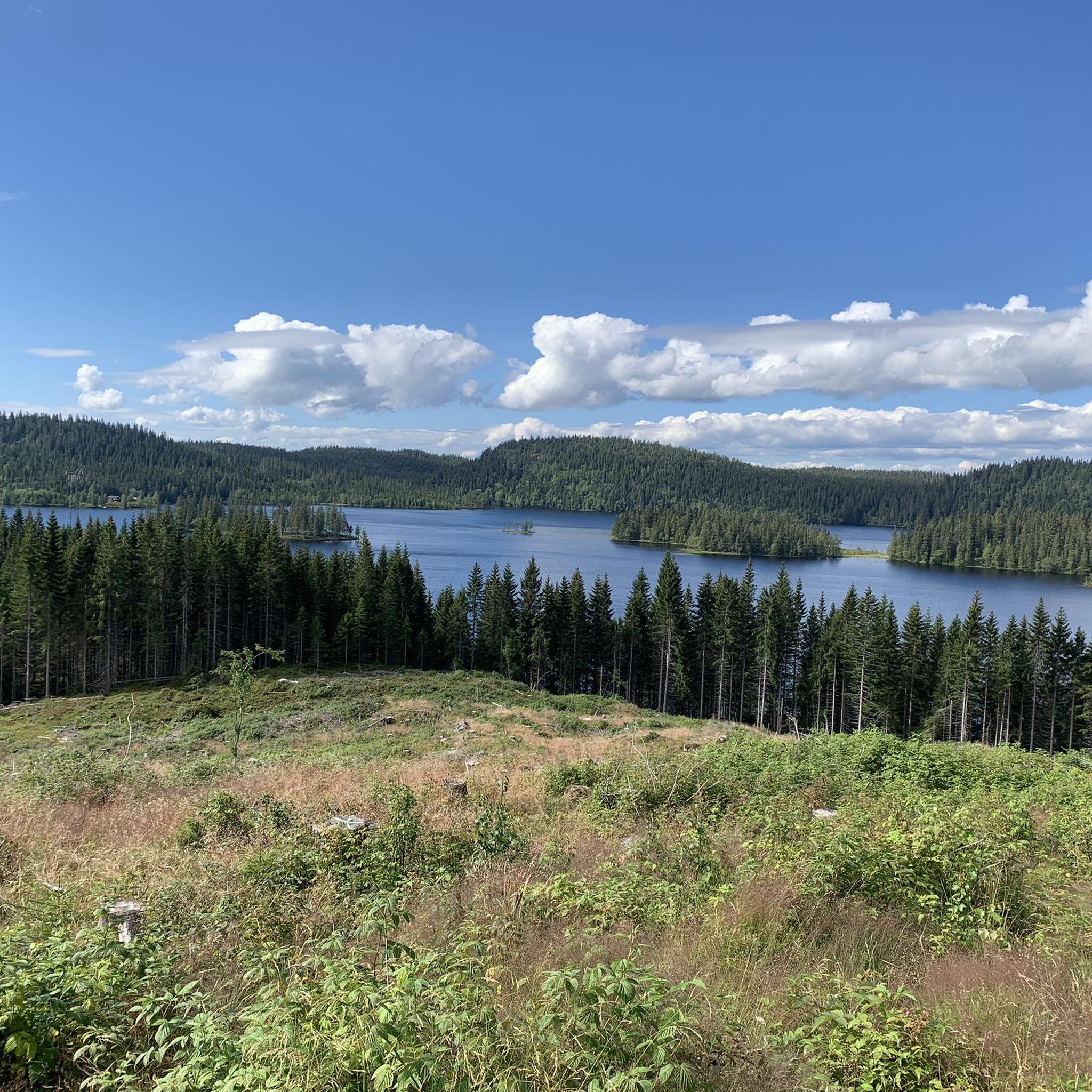
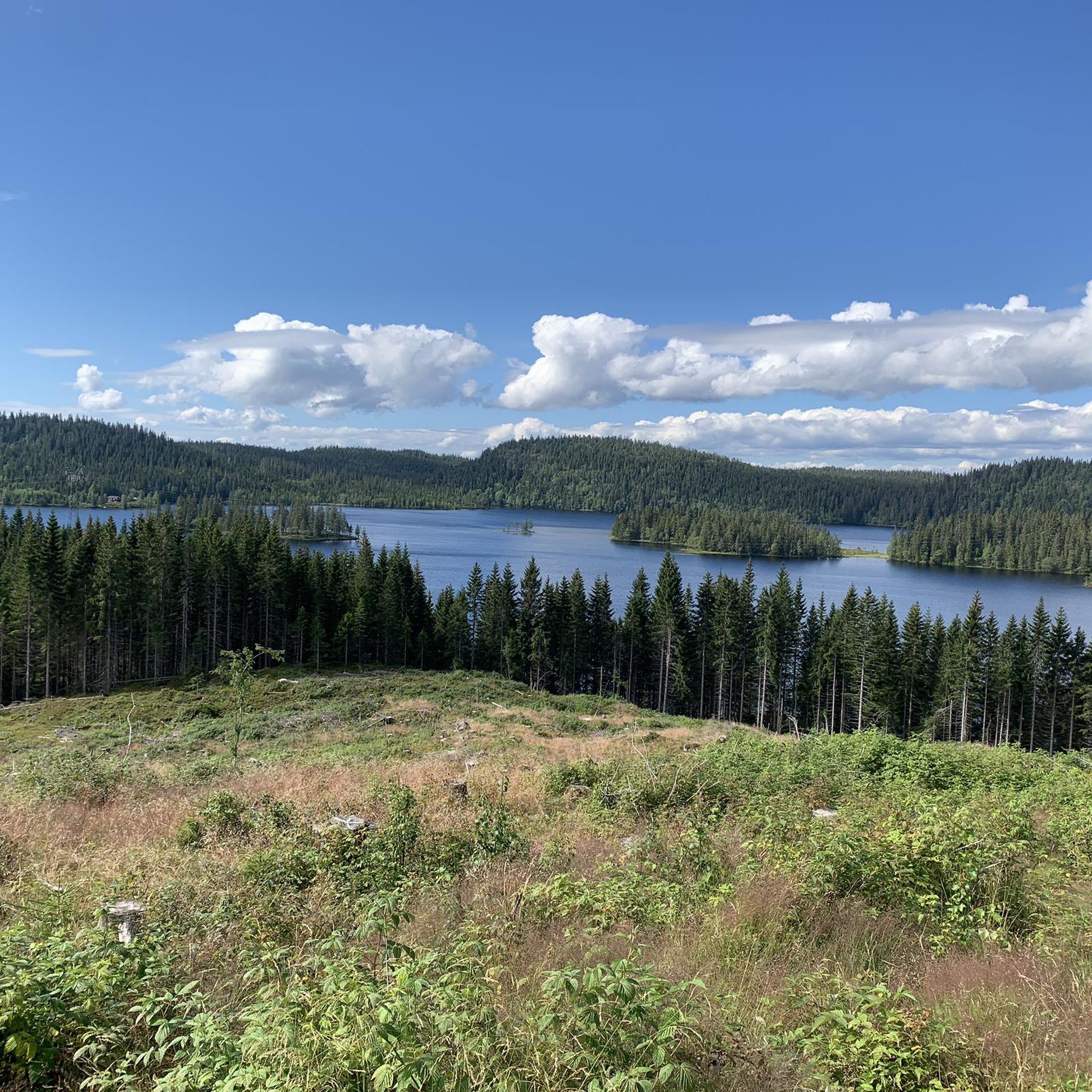
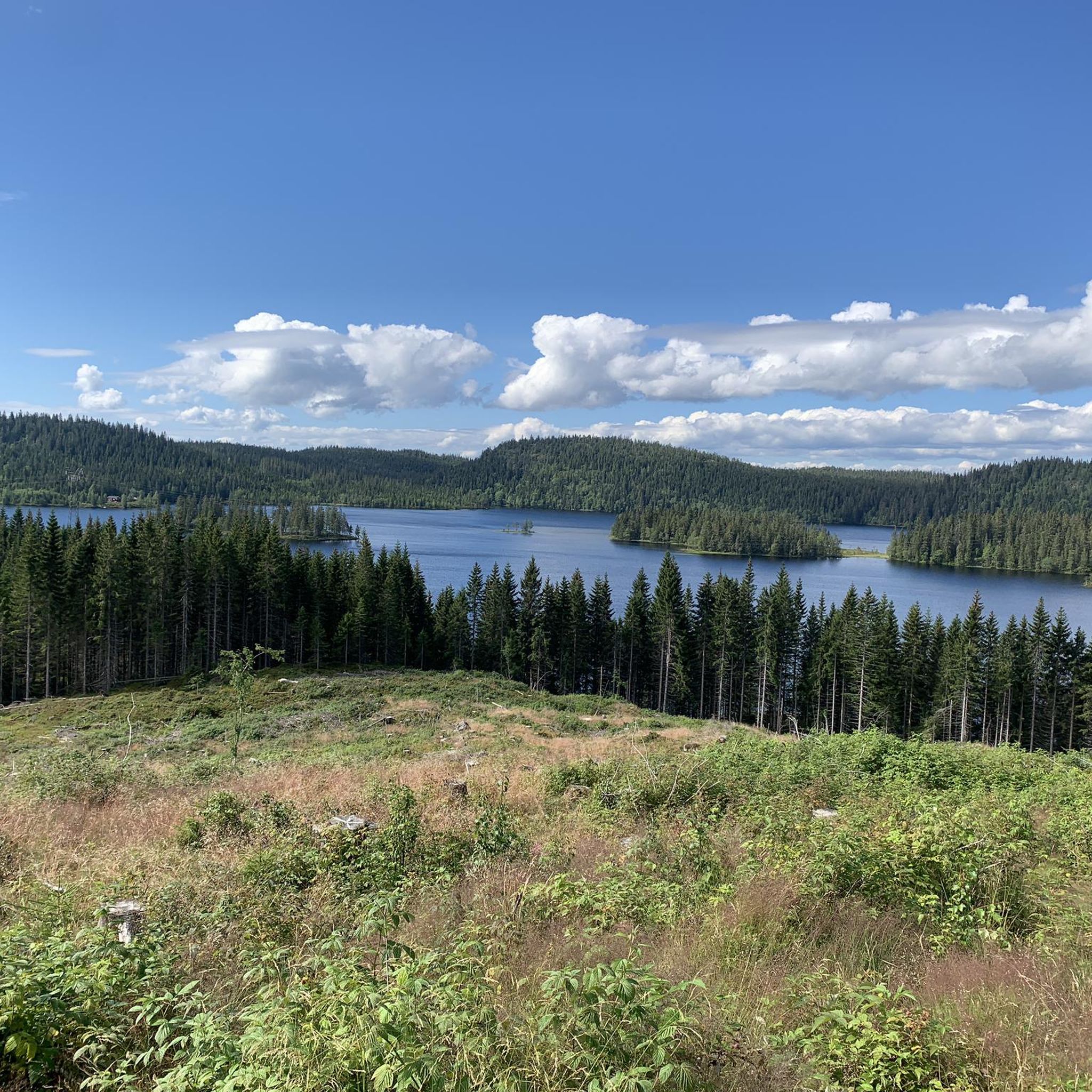
Damtjern is a scenic highland lake that serves as a major gateway to the surrounding wilderness. The lake is nestled within a dense forest of spruce and pine, characterized by its calm waters and rugged, rocky shoreline.
0
0
Frequently Asked Questions
How many running routes are available in Krokskogen Naturreservat?
Krokskogen Naturreservat offers a wide selection of running routes, with over 30 trails available on komoot. These routes cater to various fitness levels, including 14 moderate and 19 difficult options, ensuring there's a suitable path for almost every runner.
What kind of terrain can I expect on the jogging routes in Krokskogen?
The terrain in Krokskogen Naturreservat is diverse, characterized by dense forests, significant elevation changes, and picturesque hilly landscapes. You'll encounter a mix of paths, from accessible trails to more challenging routes with substantial climbs, all set within a rich natural environment of broad-leaved trees and varied plant species.
Are there any easy jogging trails suitable for beginners in Krokskogen Naturreservat?
While Krokskogen Naturreservat is known for its varied and often challenging terrain, the komoot guide currently features moderate and difficult routes. Beginners might find some of the shorter moderate trails manageable, but it's advisable to check the elevation profiles before heading out. The region's extensive trail network does offer paths suitable for different experience levels, so exploring options with minimal elevation gain is recommended for those new to trail running.
Are there any viewpoints or scenic spots along the running routes?
Yes, Krokskogen Naturreservat boasts several high points that offer expansive views. Notable peaks like Gyrihaugen (682 m) and Oppkuven (704 m) provide panoramic vistas over the region. The dramatic Mørkgonga Gorge, a deep crack in a lava plate, also offers a unique and scenic experience. For example, the Gyrihaugen loop from Mørkgonga naturreservat leads through hilly forests to these viewpoints.
Can I find circular running routes in Krokskogen Naturreservat?
Absolutely. Many of the running routes in Krokskogen Naturreservat are designed as loops, allowing you to start and finish at the same point. For instance, the popular Damtjern – Gravmyrhaugen loop from Damtjern is an 8.6-mile moderate trail that takes you through varied forest terrain with gentle elevation changes.
What is the longest running route available in Krokskogen Naturreservat?
For those seeking a longer challenge, the Gråberghaugen loop from Sørkedalen is a difficult 34.7 km (21.6 miles) route. This extensive trail features significant elevation changes and allows you to immerse yourself deeply in the reserve's dense woodlands.
Are there any challenging running routes for experienced runners?
Yes, experienced runners will find plenty of challenging options. Krokskogen Naturreservat features 19 difficult routes on komoot, many with substantial elevation gains. A prime example is the Haukåsen – Gravmyrhaugen loop from Damtjern, a difficult 12.2-mile path with significant elevation changes through dense woodlands.
What do other runners enjoy most about jogging in Krokskogen Naturreservat?
The komoot community highly values the diverse terrain and natural beauty of Krokskogen Naturreservat. Over 500 runners have explored the area using komoot, often praising the serene forest paths, the challenge of the hilly landscapes, and the rewarding views from high points like Gyrihaugen. The extensive trail network also allows for varied experiences, from moderate forest runs to more demanding climbs.
Are there any specific geological features to look out for while running?
Yes, one of the most striking geological features is the Mørkgonga Gorge. It's described as a deep crack in a lava plate, offering a unique and scenic experience. Routes like the Gyrihaugen loop from Mørkgonga naturreservat can lead you near or through areas where you can appreciate this natural wonder.
What is the highest point in Krokskogen Naturreservat?
Kirkeberget is noted as the highest and most prominent mountain within Krokskogen Naturreservat. While Gyrihaugen and Oppkuven are also significant high points offering panoramic views, Kirkeberget stands out as the reserve's highest peak.
Are there any routes that combine forest running with lake views?
While specific lake views aren't highlighted for every route, the region's diverse landscape often includes water features. The Midtre Lysedammen – Nedre Lysedammen loop from Sørkedalen, for example, is a difficult 20.4 km route that traverses areas with dammen (ponds/small lakes), offering a mix of forest and water scenery.
Most popular routes in Krokskogen Naturreservat

Get inspired with the komoot mobile app


Explore more
Browse the best Running Trails & Routes in other regions.
