The best walks and hikes in Krokskogen Naturreservat
4.4
(264)
1,824
hikers
64
hikes
Hiking in Krokskogen Naturreservat offers diverse landscapes characterized by dense forests, hilly terrain, and significant elevation changes. This area, part of Oslomarka, features striking geological formations such as the Mørkgonga Gorge, a deep crack in the lava plate. High points like Gyrihaugen (682 m) and Oppkuven (704 m) provide expansive views over the region. The reserve's topography includes broad-leaved trees and varied plant species, contributing to its natural environment.
Best hiking trails in Krokskogen Naturreservat
- The most popular hiking route is Gråberget – Bakåsen loop from Åsa, a 3.8 miles (6.1 km) trail that takes 1 hour 41 minutes to complete, offering accessible paths for various fitness levels.
- Another top favourite among local hikers is Lakeside Campsite in Nordmarka – Mørkgonga Gorge loop from Åsa, a moderate 6.8 miles (11.0 km) path. This route leads through varied terrain, including the notable Mørkgonga Gorge.
- Local hikers also love the View from Gyrihaugen – View of Krokstua Cabin loop from Åsa, a 5.7 miles (9.2 km) trail leading through hilly forests and offering views from Gyrihaugen, often completed in about 2 hours 57 minutes.
- Hiking in Krokskogen Naturreservat is defined by dense forests, hilly terrain, and significant elevation changes, with notable features like Mørkgonga Gorge and Gyrihaugen. The network offers options for different ability levels, from easy walks to more challenging routes.
- The routes in Krokskogen Naturreservat are highly rated by the komoot community with an average score of 4.4 stars from over 290 reviews. More than 1,800 hikers have used komoot to explore Krokskogen Naturreservat's varied terrain.
Last updated: August 20, 2026
2
hikers
8.65km
02:29
210m
200m
Moderate hike. Good fitness required. Easily-accessible paths. Suitable for all skill levels.
2
hikers
6.09km
01:41
110m
110m
Easy hike. Great for any fitness level. Easily-accessible paths. Suitable for all skill levels.

Sign up for free
4.0
(1)
12
hikers
13.1km
03:28
120m
120m
Moderate hike. Good fitness required. Easily-accessible paths. Suitable for all skill levels.
3.0
(1)
2
hikers
6.92km
01:54
110m
120m
Easy hike. Great for any fitness level. Easily-accessible paths. Suitable for all skill levels.
5.0
(3)
52
hikers
11.4km
03:32
400m
400m
Moderate hike. Good fitness required. Mostly accessible paths. Sure-footedness required.
Get access to more routes and recommendations from other explorers.
Sign up for free
Already have an account?
Our route recommendations are based on thousands of hikes, rides, and runs completed by other people on komoot.
Start today with a free account
Your next adventure awaits.
Login or Signup

Tips from the Community

Attention! In my opinion, the descent through the gorge is life-threatening due to loose scree and the danger of falling rocks. After the section with the rope, there is nothing more to hold onto and it continues steeply downhill for some time! Not moderately difficult, but dangerous! Absolutely unsuitable for dogs and children!
1
0

This small dam bridges the connection between Storflåtan and Vesleflåtan.
1
0
Vassendvika is a bay on the Storflåtan. Here you’ll find fire pits and a place to rest.
0
0

Vikseterfossen is a hidden natural gem located in the Krokskogen region, near Lake Damtjern. The waterfall is part of a stream that flows through a lush, forested ravine, offering a more secluded experience compared to the more frequented trails in the area.
0
0
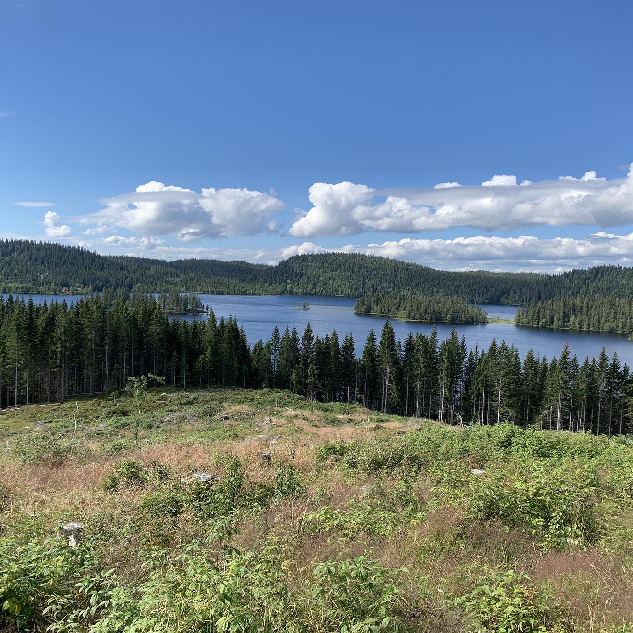
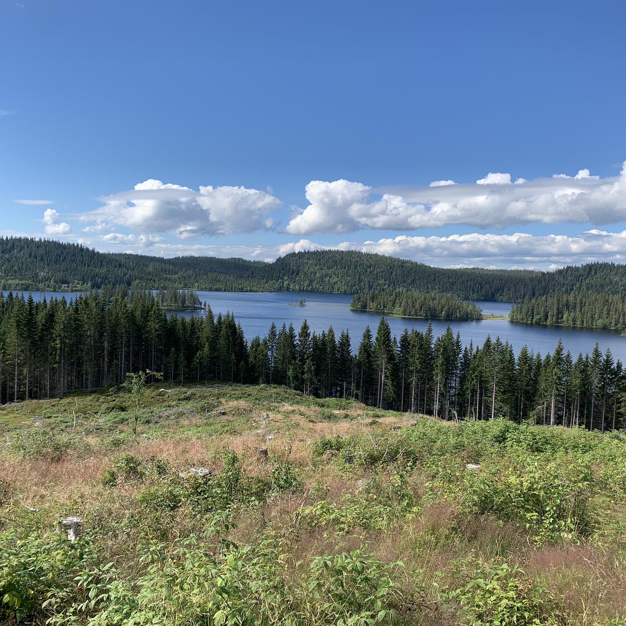
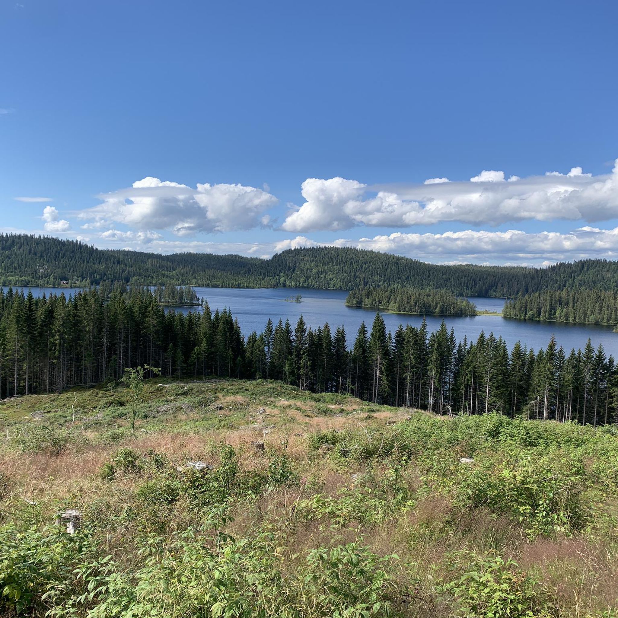
Damtjern is a scenic highland lake that serves as a major gateway to the surrounding wilderness. The lake is nestled within a dense forest of spruce and pine, characterized by its calm waters and rugged, rocky shoreline.
0
0
After descending the ropes through the gorge, there's a steep section with lots of loose rocks. I wouldn't classify this as average, but rather as difficult (and quite dangerous). The rest of the route is very scenic.
1
0

There is also a swing on the old tree, but it won't be able to bear any weight anymore 🤭
2
0
This beautiful (private) hut offers outstanding views halfway up Gyrihaugen. It'll whet your appetite and provide you with strength for the final meters to the summit.
2
0
Frequently Asked Questions
How many hiking trails are available in Krokskogen Naturreservat?
Krokskogen Naturreservat offers a wide variety of hiking experiences, with over 60 routes recorded on komoot. These range from easy strolls to more challenging treks, ensuring options for different fitness levels.
What kind of terrain can I expect when hiking in Krokskogen Naturreservat?
The reserve features diverse landscapes, characterized by dense forests, hilly terrain, and significant elevation changes. You'll find a mix of well-maintained paths and more rugged trails, often leading through broad-leaved trees and varied plant species. The area is part of Oslomarka, known for its natural beauty.
Are there any easy hiking trails suitable for beginners or families in Krokskogen Naturreservat?
Yes, Krokskogen Naturreservat has several easy trails. For instance, the Gråberget – Bakåsen loop from Åsa is an easy 6.1 km route with accessible paths, ideal for those seeking a less strenuous walk. Overall, 14 of the recorded tours are rated as easy.
What are the notable natural landmarks or viewpoints in Krokskogen Naturreservat?
Krokskogen is home to several impressive natural features. The most striking is the Mørkgonga Gorge, a deep crack in the lava plate that can be navigated with the aid of steel wire in summer. Another highlight is Gyrihaugen, one of the highest points at 682 meters, offering expansive views. Other prominent peaks include Oppkuven (704 m) and Ringkollen (702 m).
Can I reach Krokskogen Naturreservat using public transport?
While specific public transport routes directly into the heart of the reserve can vary, many access points, particularly around Åsa, are reachable by bus from nearby towns. It's advisable to check local bus schedules for the most current information on connections to the edges of the reserve.
Is there parking available for hikers in Krokskogen Naturreservat?
Yes, there are typically parking facilities available at common starting points for trails, such as near Åsa. These parking areas serve as convenient access points for hikers looking to explore the reserve.
What do other hikers enjoy most about hiking in Krokskogen Naturreservat?
The area is highly rated by the komoot community, with an average score of 4.4 stars from over 290 reviews. Hikers often praise the diverse landscapes, the challenging yet rewarding trails, and the stunning viewpoints like Gyrihaugen. The variety of routes, from easy to difficult, is also frequently highlighted.
Are there any longer or more challenging hikes in Krokskogen Naturreservat?
For those seeking a greater challenge, Krokskogen offers several moderate to difficult routes. An example is the Mørkgonga Gorge – View from Gyrihaugen loop from Åsa, a 14.9 km route with significant elevation gain, offering both the dramatic gorge and panoramic views. There are 8 routes rated as difficult and 45 as moderate.
When is the best time of year to go hiking in Krokskogen Naturreservat?
The best time to hike in Krokskogen Naturreservat is generally during the warmer months, from late spring to early autumn (May to October), when trails are clear of snow and ice. This period offers pleasant temperatures and full access to all trails, including those through Mørkgonga Gorge. Winter hiking is also possible but requires appropriate gear and experience.
Are there any circular hiking routes in Krokskogen Naturreservat?
Yes, many of the trails in Krokskogen Naturreservat are designed as circular routes, allowing you to start and end at the same point. Examples include the View from Gyrihaugen – View of Krokstua Cabin loop from Åsa, which is a 9.2 km moderate hike, and the Helleramsåsen – Gravmyrhaugen loop from Åsa, a 14.1 km moderate option.
Is Krokskogen Naturreservat suitable for dog-friendly hikes?
Generally, dogs are welcome on trails in Norwegian nature reserves, but they must be kept on a leash, especially during certain times of the year to protect wildlife. It's always best to check local regulations or signage at trailheads for specific rules within Krokskogen Naturreservat to ensure a pleasant and responsible hike with your dog.
What is the historical significance of the trails in Krokskogen Naturreservat?
The reserve includes parts of the old King's Road (Ringeriksveien), which was originally opened in 1805 as a vital route connecting Oslo to Bergen. Today, this historic path serves predominantly as a popular hiking and bridle path, allowing visitors to walk in the footsteps of history.
Most popular routes in Krokskogen Naturreservat

Get inspired with the komoot mobile app


Explore more
Browse the best Hikes in other regions.
