The 20 Most Amazing Peaks around Völkersweiler
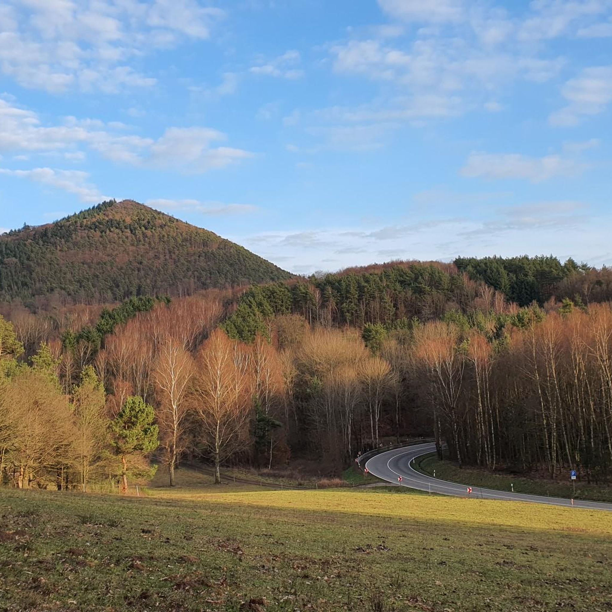
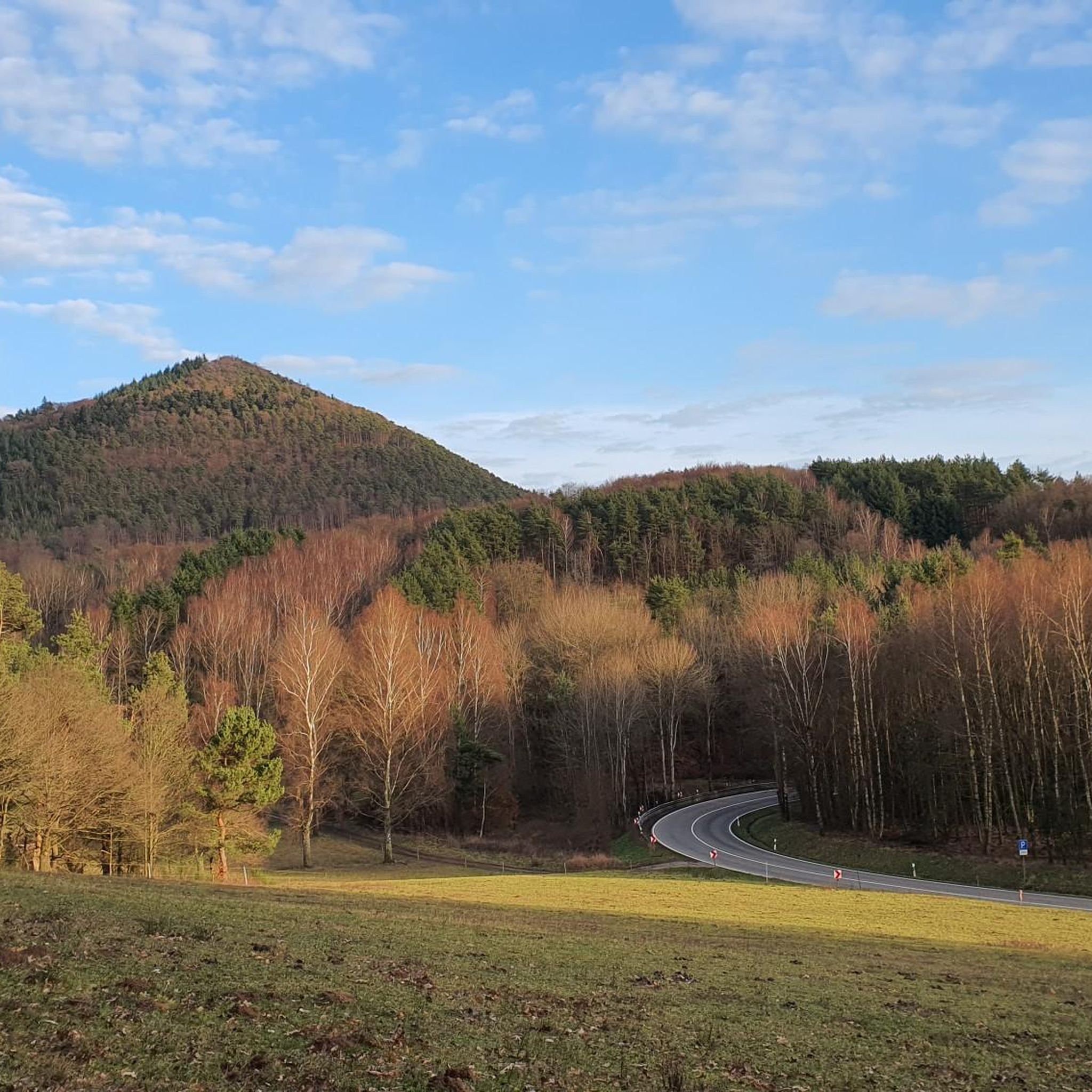
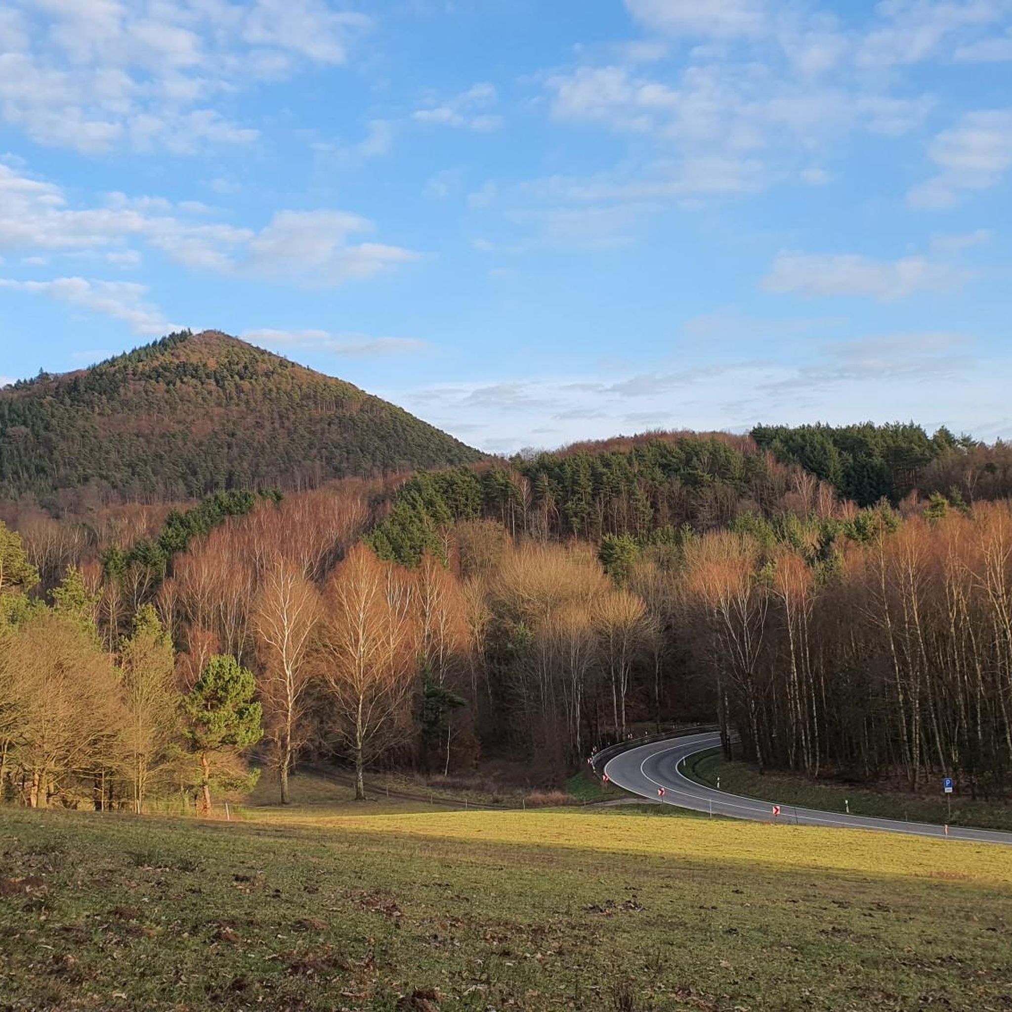
Mountain peaks around Völkersweiler are characterized by the Wasgau region's dense mixed forests, valleys, and prominent rock formations. The municipality itself sits at an average elevation of approximately 280 to 287 meters above sea level. Elevated points like the Ebersberg, home to the Wasgaublick, offer panoramic views over the Palatinate Forest. These accessible viewpoints provide a quintessential experience of the region's natural beauty.
Best mountain peaks around Völkersweiler
- The most popular mountain peaks is Orensfels Viewpoint, a viewpoint that…
Last updated: May 10, 2026
Orensfels Viewpoint
Highlight • Viewpoint
Translated by Google •
Tip by

Hühnerstein Summit and Access Ladder
Highlight • Summit
Translated by Google •
Tip by

Sign up now to discover places like this
Get recommendations on the best single tracks, peaks, & plenty of other exciting outdoor places.
Sign up for free
Rötzen Cliffs
Highlight • Viewpoint
Translated by Google •
Tip by

Rehberg Tower
Highlight • Viewpoint
Translated by Google •
Tip by

Schlüsselfels Summit on Heidenberg
Highlight • Summit
Translated by Google •
Tip by

Sign up for free to discover even more peaks around Völkersweiler.
Sign up for free
Already have an account?
Start today with a free account
Your next adventure awaits.
Login or Signup


Tips from the Community

One of the indescribably many points on this round with a crazy view
20
0

The key rock is the highest elevation in the Wasgau. From the Felskopf you have a beautiful view of the Palatinate Forest and Berwartstein Castle.
14
1

The foresight is wonderful. You can see the Berwartstein Castle very well. Please do not let children and dogs run ahead!
11
0

The hike from Buchkammerfels to Schlüsselfels is worthwhile. Here, too, you'll find beautiful views and lovely sandstone formations. The Busenberger Holzschuhpfad (Clog Trail) also passes by here; see https://www.wanderinstitut.de/premiumwege/rheinland-pfalz/busenberger-holzschuhpfad/
10
0

Very interesting hiking route with great views
11
0

Tip: come here during the week and enjoy the wonderful view. The popular viewing point is very busy when the weather is good and on weekends.
10
0

A great tower with a breathtaking view of Trifels, Anebos and Münz. Around a couple of benches to have a snack.
7
0

Frequently Asked Questions
What are some of the most popular elevated viewpoints around Völkersweiler?
Visitors frequently enjoy the Orensfels Viewpoint, known for its expansive views from overhanging rocks. Another favorite is the Rötzen Cliffs, offering distant views over a vast forest landscape. The Schlüsselfels Summit on Heidenberg also provides a beautiful panoramic outlook of the Wasgau region and Berwartstein Castle.
What kind of natural features define the elevated areas near Völkersweiler?
The region is characterized by dense mixed forests, valleys, and prominent rock formations. Elevated points often feature dramatic cliffs, such as the Rötzen Cliffs, and offer extensive panoramic views over the picturesque Palatinate Forest, including glimpses of distant castle ruins.
Are there any challenging climbs or unique access points to the summits?
Yes, the Hühnerstein Summit and Access Ladder offers a unique and challenging experience. Climbing the ladder to the summit provides gigantic all-round views, though it requires care, especially with a backpack.
What historical landmarks can be seen from the elevated points?
From the Schlüsselfels Summit on Heidenberg, you can enjoy a panoramic view that includes Berwartstein Castle. The Rehberg Tower, a historical structure built in 1862 from local Buntsandstein, offers impressive views including a direct sightline to Trifels Castle, Anebos, and Münz.
What is the highest point in the German part of the Wasgau region near Völkersweiler?
The highest peak in the German part of the Wasgau is the Rehberg, standing at 577 meters. On its summit, you'll find the Rehberg Tower, which offers some of the most impressive views in the entire Palatinate.
Are there family-friendly options for exploring the elevated areas around Völkersweiler?
Yes, the Ebersberg, home to the Wasgaublick, is accessible via several hiking trails, including a roughly 3-kilometer circular hike from the Trifelsruhe parking lot. These trails are generally considered easy, making them suitable for a wide range of visitors, including families.
What do visitors appreciate most about the mountain peaks and viewpoints in this area?
Visitors consistently praise the impressive scenic vistas and the tranquility. Many describe places like the Orensfels Viewpoint as quiet, amazing spots with fantastic views and a silence broken only by forest dwellers. The overall experience of hiking through the forested, rocky landscape and reaching accessible viewpoints is highly valued.
What cycling opportunities are available near the mountain peaks around Völkersweiler?
There are various cycling routes available. For touring cyclists, options include the 'Berwartstein Castle – Seehofweiher Bathing Lake loop' or the 'Pfälz-Lamas Signpost – Annweiler Old Town loop'. Gravel biking enthusiasts can explore routes like 'View of Trifels Castle – Wood Stop at Zollstock loop'. You can find more details on these and other routes in the Cycling around Völkersweiler guide and the Gravel biking around Völkersweiler guide.
Are there road cycling routes that pass by or offer views of the elevated features?
Yes, road cyclists can find routes such as the 'Wassergasse, Annweiler – View of Trifels Castle loop' or the 'Historic Town Hall Göcklingen – Wildlife and Hiking Park Silz loop'. These routes offer opportunities to experience the region's landscape and potentially catch views of its elevated features. More information is available in the Road Cycling Routes around Völkersweiler guide.
What is the general elevation of Völkersweiler itself?
The municipality of Völkersweiler sits at an average elevation of approximately 280 to 287 meters above sea level, with its surrounding elevated points rising higher to offer panoramic views.
How accessible are the viewpoints and summits for hikers?
Many of the viewpoints, such as the Wasgaublick on the Ebersberg, are integrated into wider hiking networks and are accessible via well-maintained trails. These trails are generally considered easy, making the scenic vistas available to a broad range of hikers. Some rock formations, like the Rötzen Cliffs, may require a head for heights to reach the very top.
Most popular routes around Völkersweiler
Most popular attractions around Völkersweiler

Get inspired with the komoot mobile app


Explore more
See even more amazing summits around Völkersweiler with these guides:
