The best walks and hikes around Völkersweiler
4.6
(37819)
145,635
hikers
1,573
hikes
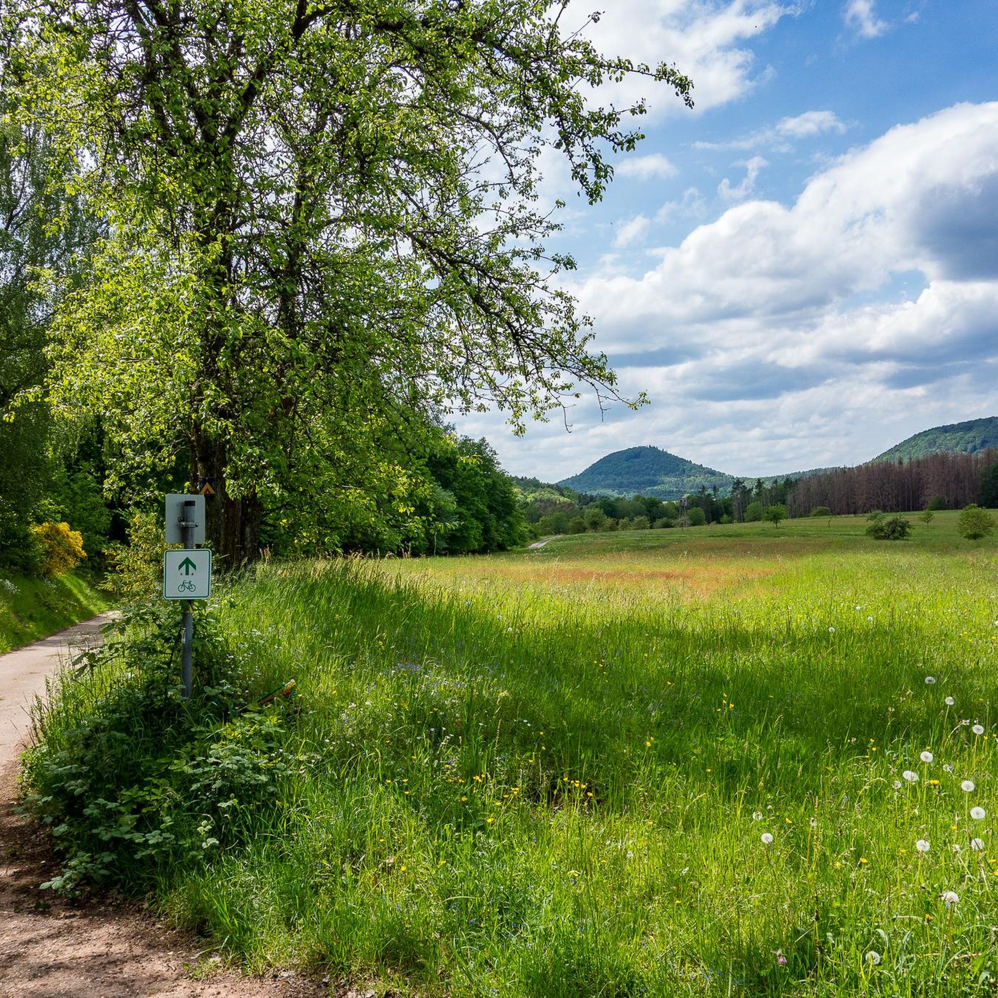
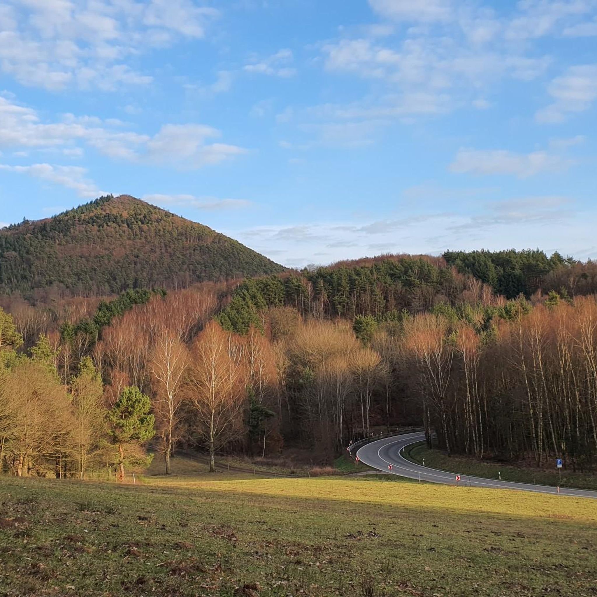
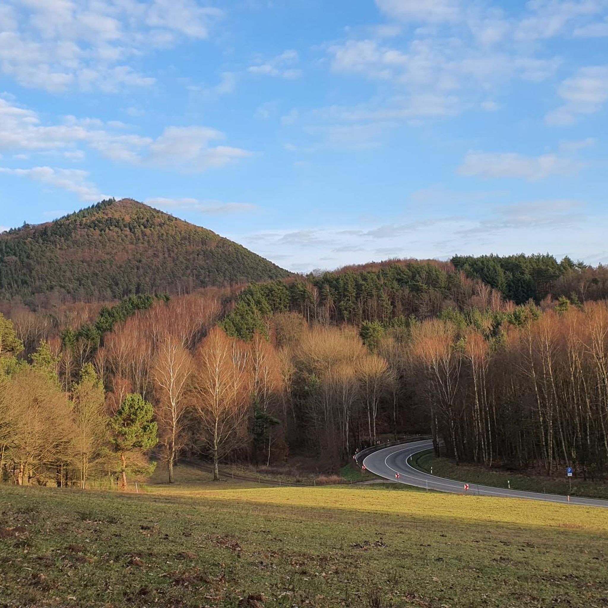
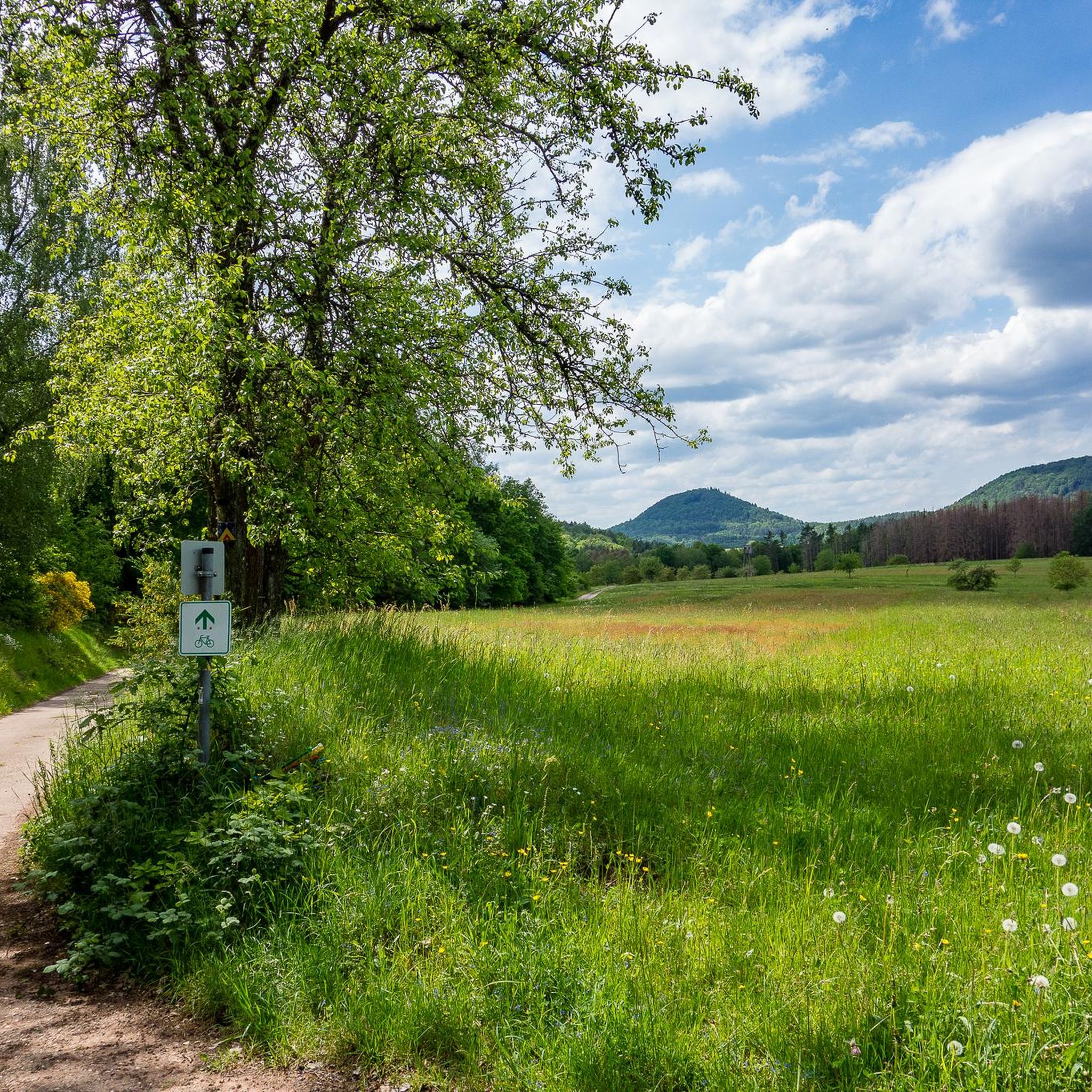
Hiking trails around Völkersweiler are situated within the Pfälzerwald-Nordvogesen Biosphere Reserve, offering a diverse natural environment. The region features a landscape characterized by forests, rock formations, and valleys. Trails often lead through fields and into dense woodlands, providing varied terrain for hikers.
Best hiking trails around Völkersweiler
- The most popular hiking route is Geiersteine Rock Formation – Geiersteine Rock Formation loop from Dimbach, a 6.6 miles (10.7 km) trail that takes about 3 hours to complete. This route explores…
Last updated: May 23, 2026
4.8
(695)
2,421
hikers
10.6km
03:00
220m
220m
Moderate hike. Good fitness required. Mostly accessible paths. Sure-footedness required.
4.7
(110)
469
hikers
9.52km
02:50
270m
270m
Moderate hike. Good fitness required. Mostly accessible paths. Sure-footedness required.

Sign up for free
4.7
(37)
146
hikers
5.22km
01:31
140m
140m
Easy hike. Great for any fitness level. Easily-accessible paths. Suitable for all skill levels.
4.9
(29)
118
hikers
7.93km
02:33
250m
250m
Hard hike. Good fitness required. Sure-footedness, sturdy shoes and alpine experience required.
4.8
(32)
110
hikers
7.56km
02:19
230m
230m
Moderate hike. Good fitness required. Mostly accessible paths. Sure-footedness required.
Get access to more routes and recommendations from other explorers.
Sign up for free
Already have an account?
Our route recommendations are based on thousands of hikes, rides, and runs completed by other people on komoot.
Start today with a free account
Your next adventure awaits.
Login or Signup


Tips from the Community

You pass by the Katerfelsen when you go to the Hornstein viewpoint or come from it.
0
0
You pass the Katzenfelsen when you go to the Hornstein viewpoint
0
0

A magnificent hiking trail blessed with beautiful views in every season.
0
0
And we owe it to the formation of the Alps... they press down on the Earth's crust, which couldn't withstand the pressure... and broke apart and was pushed upwards.
7
0
Rocks with a view through them... it's incredible that something like that still stands.
7
0
With visibility of 20 meters, the value of the bench outweighs the value of the view...😳
0
0

A quaint bench whose seat rests on two (border?) stones; it stands somewhat hidden on top of the Isselmannsteine rocks; in winter (when there is little foliage) you can see towards Dimbach.
1
0

The Rötzenberg near Gossersweiler in the Southern Palatinate district of Weinstraße is a 459.1 m above sea level mountain in the northern Wasgau region of the Palatinate Forest. Numerous red sandstone rock formations are found on it. The Rötzenberg is located in the Palatinate Forest Nature Park, a typical Wasgau conical hill in the northern part of the Dahner Felsenland and the Wasgauer Felsenland. Its summit rises 1.1 km west-southwest of Gossersweiler, the larger district of the municipality of Gossersweiler-Stein, to whose district the mountain belongs. North of the almost entirely forested mountain rises the Triebborn stream, which drains via the Rimbach into the Queich, a tributary of the Rhine. To the south, the Klingbach stream flows directly into the Rhine plain and flows into the Rhine via the Michelsbach. The most important rock formations of the Rötzenberg are the Isselmannsteine on the north side and the imposing Rötzenfels south of the summit, which reaches a considerable height of up to 55 meters. From the rocky plateau, which can be climbed via a hiking trail (Dimbacher Buntsandstein-Höhenweg), there are excellent views to the south over the entire Wasgau region, with the Lindelbrunn ruins in the foreground, as well as to the northeast to the Rehberg, the Ebersberg, the Asselstein, and the Reichsburg Trifels. The Rötzenberg can be reached via marked hiking trails from the east, such as the Staudernheim–Soultz-sous-Forêts long-distance trail from Gossersweiler, from the north from Dimbach, and from the south from Lindelbrunn. It is traversed by the "Dimbacher Buntsandstein-Höhenweg" circular hiking trail, which was certified as a premium trail by the German Hiking Institute and inaugurated in 2013. Source: https://de.wikipedia.org/wiki/R%C3%B6tzenberg
0
0
Frequently Asked Questions
How many hiking trails are available around Völkersweiler?
There are over 1,500 hiking trails around Völkersweiler, offering a wide range of options for all skill levels within the Pfälzerwald-Nordvogesen Biosphere Reserve.
Are there easy hiking trails suitable for beginners or families in Völkersweiler?
Yes, Völkersweiler offers a good selection of easy trails. Over 700 routes are classified as easy, including a pleasant circular hike directly around the village center. This route is suitable for families and can even accommodate all-terrain strollers, passing by the church and offering detours to the Pfalz lamas.
Can I find circular hiking routes in the Völkersweiler area?
Absolutely. The region is well-known for its circular routes, including certified premium hiking trails called "Traumschleifen" (Dream Loops). These are designed as coherent, well-signed loops with amenities like benches and offer rich nature experiences. For example, the Geiersteine Rock Formation loop from Dimbach is a popular circular option.
What kind of natural landscapes can I expect to see while hiking near Völkersweiler?
The trails around Völkersweiler are nestled within the Pfälzerwald-Nordvogesen Biosphere Reserve, offering diverse landscapes. You'll encounter dense forests, unique rock formations, and scenic valleys. Many paths lead through fields and into woodlands, providing varied terrain and beautiful views of the surrounding village and natural features like the Kaiserbach Valley.
Are there any notable viewpoints or landmarks along the hiking trails?
Yes, the region boasts several interesting landmarks and viewpoints. You can explore historical sites like Trifels Castle or Landeck Castle. For stunning vistas, consider visiting the Orensfels Viewpoint. Some routes, like the Three Rocks – View of the Four Castles loop, specifically highlight views of multiple castles and diverse rock formations.
What do other hikers enjoy most about hiking in Völkersweiler?
The hiking experiences in Völkersweiler are highly rated by the komoot community, with an average score of 4.6 stars from over 37,000 reviews. Hikers often praise the region's diverse terrain, the beauty of the dense forests and unique rock formations, and the well-maintained paths within the Pfälzerwald-Nordvogesen Biosphere Reserve.
Are there any unique experiences or activities available besides traditional hiking?
Yes, for a unique experience, you can take a detour to the Pfalz lamas, with llama hikes offered directly in the village. Additionally, the region is known for its "Traumschleifen" (Dream Loops), which are premium circular trails designed to offer exceptional nature experiences.
Are the hiking trails around Völkersweiler suitable for dogs?
While specific dog regulations can vary, the natural environment of the Pfälzerwald-Nordvogesen Biosphere Reserve generally welcomes well-behaved dogs on trails. It's always recommended to keep dogs on a leash, especially in protected areas or near wildlife, and to carry waste bags.
What is the best time of year to go hiking in Völkersweiler?
Völkersweiler's idyllic location within the biosphere reserve makes it suitable for hiking throughout much of the year. Spring and autumn offer pleasant temperatures and vibrant natural colors, while summer provides lush green forests. Even winter can be appealing for quiet walks, though some trails might be more challenging depending on conditions.
Are there any longer or more challenging routes for experienced hikers?
Yes, for those seeking more extensive or challenging hikes, the region offers routes with significant elevation changes and longer distances. For example, the "4-Burgen-Blick" shelter – Kellerfels loop is an 8.0-mile (12.8 km) trail with notable elevation changes, typically completed in under 4 hours. The broader Saar-Hunsrück-Steig also offers extensive trails for multi-day adventures.
Where can I find parking for the hiking trails in Völkersweiler?
While specific parking areas are often indicated at trailheads, many routes, especially circular ones starting from the village, will have designated parking available within Völkersweiler or at popular starting points in nearby communities like Dimbach or Gossersweiler-Stein. It's advisable to check the route details on komoot for specific parking recommendations for your chosen trail.
Most popular routes around Völkersweiler
Most popular attractions around Völkersweiler

Get inspired with the komoot mobile app


Explore more
Browse the best Hikes in other regions.
