The best walks and hikes in Grimstadvatn Dyrelivsfredning
4.7
(35)
272
hikers
19
hikes
Hiking in Grimstadvatn Dyrelivsfredning offers diverse outdoor activities within a protected natural park in Møre og Romsdal. The region is characterized by freshwater environments, coastal stretches, and varied natural terrain, providing a range of scenery for hikers. As a wildlife sanctuary established in 1983, it focuses on protecting bird and mammal species, making Grimstadvatn Dyrelivsfredning nature reserve trails ideal for observing local fauna. This area combines accessible paths with more challenging ascents, catering to different fitness levels.
Best hiking trails…
Last updated: July 1, 2026
3
hikers
8.53km
02:14
70m
70m
Moderate hike. Good fitness required. Easily-accessible paths. Suitable for all skill levels.
2
hikers
4.73km
01:14
30m
40m
Easy hike. Great for any fitness level. Easily-accessible paths. Suitable for all skill levels.

Sign up for free
4.7
(3)
34
hikers
6.49km
03:14
510m
510m
Moderate hike. Good fitness required. Mostly accessible paths. Sure-footedness required.
5.0
(2)
8
hikers
9.82km
03:24
510m
510m
Moderate hike. Good fitness required. Easily-accessible paths. Suitable for all skill levels.
4.7
(3)
10
hikers
11.4km
03:40
480m
480m
Moderate hike. Good fitness required. Easily-accessible paths. Suitable for all skill levels.
Get access to more routes and recommendations from other explorers.
Sign up for free
Already have an account?
Our route recommendations are based on thousands of hikes, rides, and runs completed by other people on komoot.
Start today with a free account
Your next adventure awaits.
Login or Signup
Popular around Grimstadvatn Dyrelivsfredning
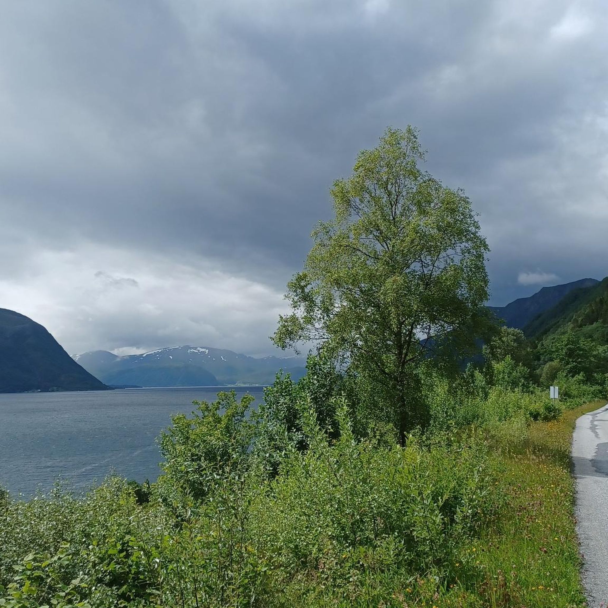
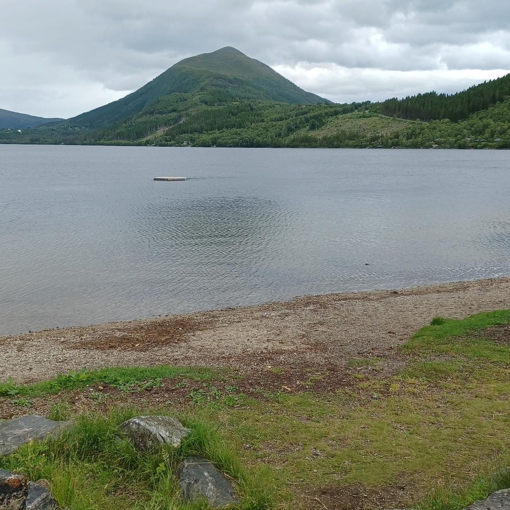
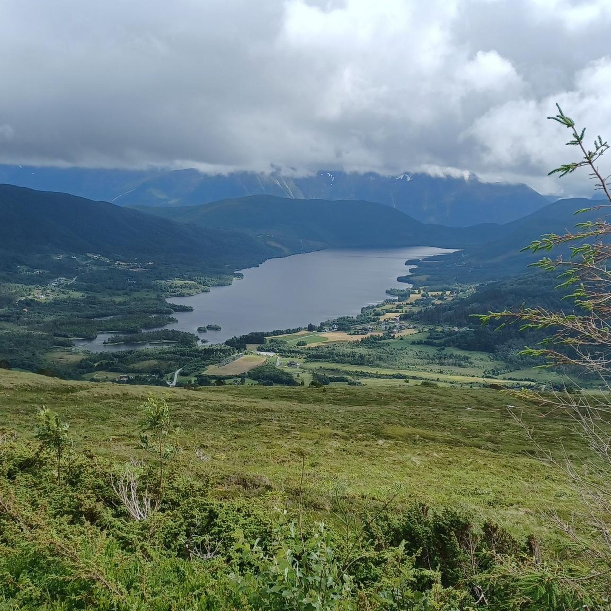
Tips from the Community

At the summit of Meslhornet, you’ll find a map marker that helps you identify the landscape. Before you lies a stunning panorama, with Lake Snipsøyrvatnet to the west and the fjords to the east.
1
0
The ascent of the Melshornet follows a long, grassy ridge with excellent views, offering a panoramic climb almost all the way to the summit. Take a moment to catch your breath and turn around to admire the view
0
0

Two routes start right at the parking lot. The place is very popular and it is possible that you have to switch to similar parking spaces a little further ahead or behind.
3
0
A gravel path leads from a parking lot to the summit. The ascent is quite steep in sections, but the effort is worth it, because the view from the summit is outstanding!
3
0
Frequently Asked Questions
How many hiking trails are available in Grimstadvatn Dyrelivsfredning?
Grimstadvatn Dyrelivsfredning offers a diverse network of nearly 20 hiking trails. These routes cater to various preferences, including easy walks, moderate ascents, and some more challenging options.
What kind of terrain can I expect when hiking in Grimstadvatn Dyrelivsfredning?
The terrain in Grimstadvatn Dyrelivsfredning is quite varied. You can expect to find trails that traverse freshwater environments, coastal stretches, and natural hilly terrain. This protected area, bordering the Grimstadvatnet nature reserve, offers diverse scenery for hikers.
Are there easy hiking trails suitable for beginners or families in Grimstadvatn Dyrelivsfredning?
Yes, Grimstadvatn Dyrelivsfredning has several easy hiking trails perfect for beginners or families. For example, the View Across Hareid Sound loop from Hareid is an easy 4.7 km path with minimal elevation gain, making it suitable for all skill levels.
Are there any circular hiking routes in Grimstadvatn Dyrelivsfredning?
Many of the trails in Grimstadvatn Dyrelivsfredning are designed as circular routes, allowing you to start and end at the same point. An example is the Weather Station on Høgkubben – Hasundhornet Summit loop from Haugane, which offers a comprehensive experience of the area's landscapes.
What kind of wildlife can I expect to see while hiking in Grimstadvatn Dyrelivsfredning?
As a wildlife sanctuary established in 1983, Grimstadvatn Dyrelivsfredning is dedicated to protecting all bird and mammal species. It's an excellent area for birdwatching, with a rich natural habitat for local fauna. Hikers often spot various bird species, especially around the freshwater and coastal areas.
Are dogs allowed on the hiking trails in Grimstadvatn Dyrelivsfredning?
Generally, dogs are allowed on hiking trails in Norway, but they must be kept on a leash, especially in protected areas like Grimstadvatn Dyrelivsfredning, which is a wildlife sanctuary. This rule helps protect the local bird and mammal species. Always check local signage for specific restrictions.
What are the best viewpoints or scenic spots along the trails?
Many trails in Grimstadvatn Dyrelivsfredning offer panoramic views, particularly from higher elevations. Routes like the Melshornet Ascent provide stunning vistas across the surrounding landscape and coastal areas after a steady climb.
What is the best time of year to go hiking in Grimstadvatn Dyrelivsfredning?
The best time to hike in Grimstadvatn Dyrelivsfredning is typically during the warmer months, from late spring to early autumn (May to September). During this period, the weather is generally milder, and trails are more accessible. The diverse birdlife is also more active and visible.
Is there public transport access to Grimstadvatn Dyrelivsfredning?
While specific public transport routes directly into the heart of the nature reserve might be limited, Hareid, a nearby town, serves as a potential access point. From Hareid, you can access trails like the Ferry to Ålesund – View Across Hareid Sound loop from Hareid. It's advisable to check local bus schedules or ferry connections to Hareid.
Are there any facilities like cafes or accommodation near the hiking areas?
Grimstadvatn Dyrelivsfredning is a natural park, so facilities directly on the trails are limited. However, nearby towns such as Hareid offer amenities including cafes, pubs, and accommodation options for visitors looking to extend their stay or refuel after a hike.
What do other hikers say about Grimstadvatn Dyrelivsfredning?
The hiking routes in Grimstadvatn Dyrelivsfredning are highly rated by the komoot community, with an average score of 4.7 stars from over 30 reviews. Hikers often praise the diverse scenery, from coastal paths to summit views, and the opportunity to experience a protected natural environment.
Most popular routes in Grimstadvatn Dyrelivsfredning

Get inspired with the komoot mobile app


Explore more
Browse the best Hikes in other regions.
