The best walks and hikes in Sandøya-Vattøya Naturreservat
4.7
(709)
3,841
hikers
39
hikes
Hiking in Sandøya-Vattøya Naturreservat offers exploration across a group of small islands, including Vattøya, Sandøya, and Lyngøya, situated within the Ulsteinfjorden. The terrain is generally flat to somewhat hilly, characterized by coastal landscapes, heathland, and beach meadows. Vattøya, the largest island, also features areas of overgrown cultivated land and pastures, reflecting its historical settlement. This car-free environment provides a setting for walks and hikes through its natural and cultural landscape.
Best hiking trails in Sandøya-Vattøya Naturreservat
- The most popular hiking…
Last updated: July 10, 2026
9
hikers
4.51km
01:57
390m
390m
Moderate hike. Good fitness required. Easily-accessible paths. Suitable for all skill levels.
10
hikers
4.79km
01:15
30m
30m
Easy hike. Great for any fitness level. Easily-accessible paths. Suitable for all skill levels.

Sign up for free
5.0
(2)
6
hikers
7.65km
02:28
320m
320m
Moderate hike. Good fitness required. Easily-accessible paths. Suitable for all skill levels.
5.0
(3)
19
hikers
11.2km
03:47
530m
530m
Moderate hike. Good fitness required. Easily-accessible paths. Suitable for all skill levels.
5.0
(1)
12
hikers
10.9km
03:27
410m
410m
Moderate hike. Good fitness required. Easily-accessible paths. Suitable for all skill levels.
Get access to more routes and recommendations from other explorers.
Sign up for free
Already have an account?
Our route recommendations are based on thousands of hikes, rides, and runs completed by other people on komoot.
Start today with a free account
Your next adventure awaits.
Login or Signup
Popular around Sandøya-Vattøya Naturreservat
Tips from the Community

Litjevatnet reservoir is only small, but it is an attractive place to spend some time on your walk. There are rest areas on the water's edge with benches and a shelter. It is also peaceful, and it is a beautiful walk to get here; it makes for a perfect rest stop.
0
0

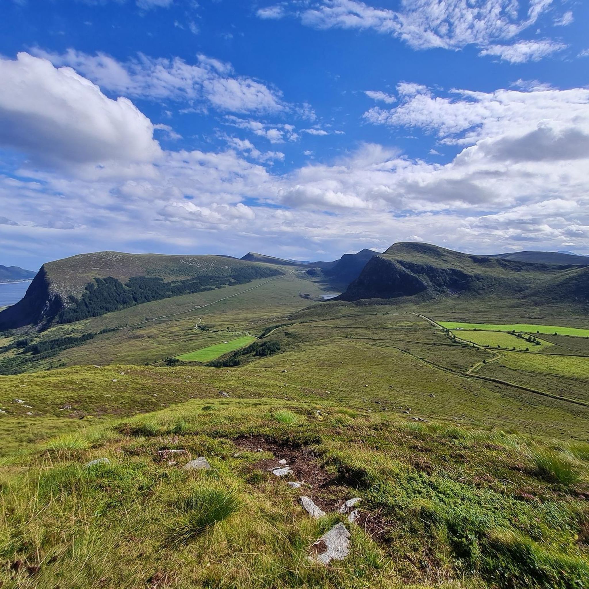
Hike begins at the carpark (which is free) with a sign "4km to Flø" and leads to the summit of Roppehornet. Beautiful views. Best experience on Hareidlandet.
0
0
Not for the faint-hearted, but not extreme either. Beautiful views. This path is not shown on Komoot map, but it is there. It begins at the carpark with a sign 4km to Flo and leads to the summit of Roppehornet.
1
0

Even if it is windy, you can make your snack here in a relatively good windbreak.
0
0
If you have made it to here, you soon have the gravel road behind you and the path begins.
0
0
Frequently Asked Questions
How many hiking trails are available in Sandøya-Vattøya Naturreservat?
There are over 35 hiking routes recorded in Sandøya-Vattøya Naturreservat on komoot, offering a variety of experiences across the islands.
What is the best time of year to visit Sandøya-Vattøya Naturreservat for hiking?
The best time for hiking is outside of the seabird breeding season. There is a ban on land traffic within the protected area from May 1st to July 31st to protect nesting seabirds. Therefore, consider visiting before May or after July for optimal access and to minimize disturbance to wildlife.
What kind of terrain can I expect when hiking in Sandøya-Vattøya Naturreservat?
Hikers can expect a unique blend of coastal landscapes, heathland, and beach meadows. The islands are generally flat to somewhat hilly, offering a car-free environment to explore. You'll encounter well-preserved cultural landscapes, especially on Vattøya, which features remnants of old cultivated land and pastures.
Are there easy hiking trails suitable for beginners or families in Sandøya-Vattøya Naturreservat?
Yes, there are 16 easy routes available. An excellent option for a relaxed walk is the Beach in Norway loop from Skeide, which is 3.0 miles (4.8 km) long and explores coastal areas, providing access to beach environments.
Are there any circular hiking routes in Sandøya-Vattøya Naturreservat?
Many of the trails in the reserve are circular, allowing you to start and end at the same point. For example, the Roppehetta – Roppehornet Summit loop from Ulstein is a moderate 2.8-mile (4.5 km) loop that leads to a summit with elevated views.
What are the main natural features or attractions to look out for while hiking?
The reserve is known for its distinctive coastal landscapes, including small coves and the expansive Ulsteinfjorden. You'll also find heathland and beach meadows, and the islands themselves are part of a significant seabird conservation area. Vattøya, the largest island, also offers glimpses into its past as a settlement with overgrown cultivated land.
What do other hikers enjoy the most about hiking in Sandøya-Vattøya Naturreservat?
The area is highly rated by the komoot community, with an average score of 4.6 stars from over 660 reviews. Reviewers often praise the unique coastal scenery, the tranquility of the car-free environment, and the diverse island exploration opportunities.
Are dogs allowed on the hiking trails in Sandøya-Vattøya Naturreservat?
While specific regulations for dogs within the reserve are not detailed, it's generally advisable to keep dogs on a leash, especially during the bird breeding season (May 1st to July 31st), to protect local wildlife. Always follow local signage and conservation rules.
What are the conservation rules I should be aware of when hiking in the Naturreservat?
The most critical rule is the ban on land traffic within the protected area from May 1st to July 31st. This measure is in place to protect the nesting seabird populations during their breeding season. Always stay on marked paths, do not disturb wildlife, and leave no trace.
Are there any longer or more challenging hikes available for experienced hikers?
Yes, for those seeking a longer experience, the Fløhornet – View of the lake and red house loop from Flø is a moderate 7.0-mile (11.2 km) trail. It leads through varied terrain with views of a lake and local architecture, typically taking about 3 hours 47 minutes to complete.
Is there parking available for hikers visiting Sandøya-Vattøya Naturreservat?
As the islands themselves are car-free, you would typically need to find parking on the mainland before accessing the reserve. Specific parking locations would depend on your chosen access point to the islands, likely in nearby towns or villages that offer ferry or boat access.
Can I reach Sandøya-Vattøya Naturreservat using public transport?
Access to the islands typically involves a boat or ferry, as they are car-free. While public transport might get you to a mainland departure point, direct public transport to the reserve itself is unlikely. It's best to research local ferry schedules or boat services from nearby communities.

Get inspired with the komoot mobile app


Explore more
Browse the best Hikes in other regions.
