The best walks and hikes in Giske Dyrelivsfredning
4.6
(1649)
9,584
hikers
90
hikes
Hiking in Giske Dyrelivsfredning offers diverse landscapes, from coastal wetlands and pebble beaches to elevated viewpoints. The region is characterized by its significant wetland ecosystem, which supports rich bird life, and varied terrain including seaside vegetation, salt pans, and beach meadows. Trails often lead to panoramic vistas of the surrounding coastline and islands, with some routes ascending hills for expansive views.
Best hiking trails in Giske Dyrelivsfredning
- The most popular hiking route is Giske Church and Cemetery loop from Giske…
Last updated: July 1, 2026
5
hikers
4.26km
01:05
10m
10m
Easy hike. Great for any fitness level. Easily-accessible paths. Suitable for all skill levels.
5.0
(2)
22
hikers
9.30km
03:48
520m
520m
Hard hike. Good fitness required. Sure-footedness, sturdy shoes and alpine experience required.

Sign up for free
5.0
(1)
52
hikers
11.1km
04:36
580m
580m
Hard hike. Good fitness required. Sure-footedness, sturdy shoes and alpine experience required.
3.7
(6)
29
hikers
11.7km
04:00
340m
330m
Hard hike. Good fitness required. Sure-footedness, sturdy shoes and alpine experience required.
4.6
(7)
38
hikers
4.38km
01:56
290m
290m
Moderate hike. Great for any fitness level. Mostly accessible paths. Sure-footedness required.
Get access to more routes and recommendations from other explorers.
Sign up for free
Already have an account?
Our route recommendations are based on thousands of hikes, rides, and runs completed by other people on komoot.
Start today with a free account
Your next adventure awaits.
Login or Signup
Popular around Giske Dyrelivsfredning

Tips from the Community

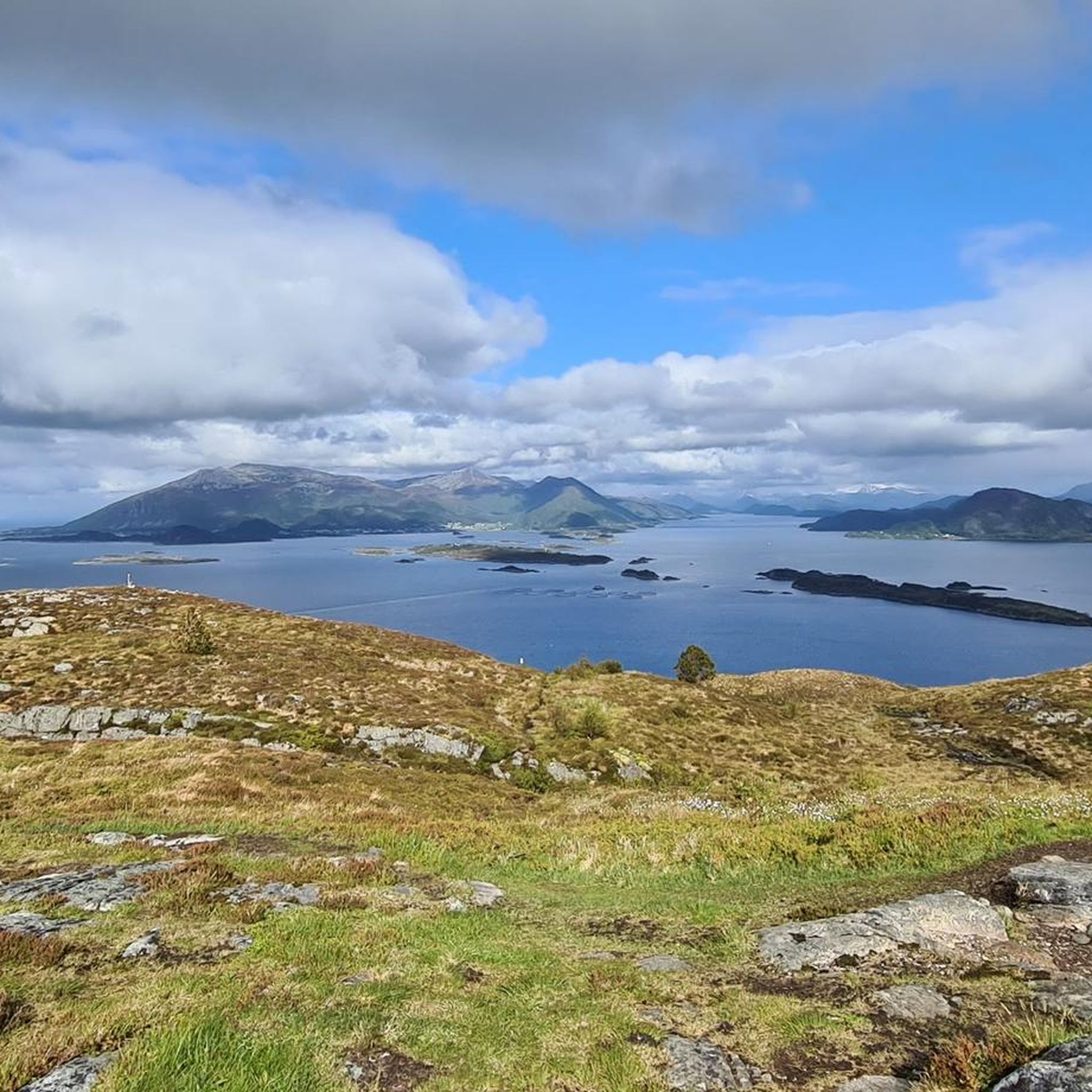
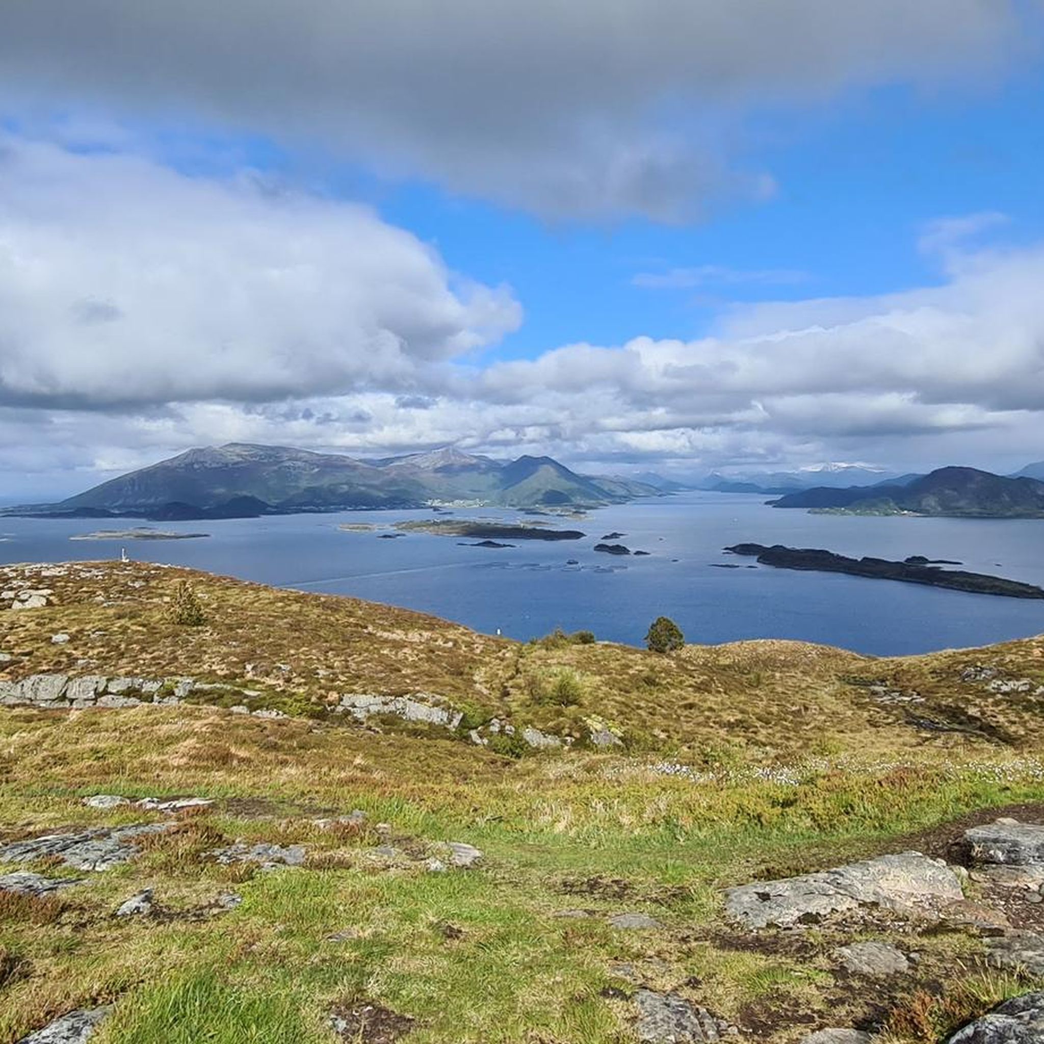
Descending into the valley, Bogrundfjorden opens up below with wide coastal views towards the surrounding islands and the Atlantic.
0
0
In this stone-paved section above Alnesvatnet, large rock slabs guide the trail across the mountainside. From here, you get wide views over the lake below and the rugged landscape of Godøya stretching towards the Atlantic.
0
0

Giske Kirke is a marble church dating from the 12th century.
1
0

An ideal starting point for a hike to Storhornet or a detour to Alnes. No overnight accommodations allowed, no restrooms.
0
0

Recommended destination for a day trip when staying in Ålesund.
0
0

Anyone who wants to collect stones will get their money's worth here. For example, there is gneiss, granite, hornblende and many other metamorphic rocks (for example amphibolite)
3
0
Interesting cemetery where most of the gravestones show the name of the town/island Giske. The church is made of marble. There is very good information from the church guide. The church dates from the 12th century. The altar cloth is from 1688
2
0
There is an entrance fee and you can only visit it in summer. The stairs are very steep and narrow. Once you reach the top you have a beautiful view. Entry fee 80 NOK The approach is also special. 2 underwater tunnels and a bridge
2
0
Frequently Asked Questions
How many hiking trails are there in Giske Dyrelivsfredning?
Giske Dyrelivsfredning offers a wide variety of hiking experiences, with over 90 routes available. These range from easy coastal walks to more challenging ascents, ensuring options for all fitness levels.
What kind of terrain can I expect when hiking in Giske Dyrelivsfredning?
The terrain in Giske Dyrelivsfredning is quite diverse. You'll find coastal paths, significant wetland ecosystems, pebble beaches, salt pans, and beach meadows. Some trails also lead through lush forests or ascend hills like Storhornet or Godøyfjellet, offering panoramic views.
Are there easy hiking trails suitable for beginners or families in Giske Dyrelivsfredning?
Yes, Giske Dyrelivsfredning has plenty of easy trails. More than half of the routes, specifically 56 out of 91, are classified as easy. An excellent option for a gentle walk is the Giske Church and Cemetery loop from Giske, which is an easy 2.7-mile (4.3 km) trail.
What are the more challenging hikes in Giske Dyrelivsfredning?
For those seeking a challenge, there are 13 difficult routes available. A notable difficult hike is the Storhornet Summit – Rocky Stone Pathway loop from Godøya, which is a 6.3-mile (10.2 km) path ascending to the summit of Storhornet, providing extensive views.
Are there any circular hiking routes in Giske Dyrelivsfredning?
Yes, many of the trails in Giske Dyrelivsfredning are circular, allowing you to start and end at the same point. Examples include the easy Giske Church and Cemetery loop from Giske and the more challenging Storhornet Summit – Rocky Stone Pathway loop from Godøya.
What interesting landmarks or attractions can I see along the hiking trails?
Hikers can explore several notable landmarks. The 12th-century Giske Kirke is a historic starting point for many walks. On Godøya island, you can hike towards the charming Alnes Village and the iconic Alnes Lighthouse, which offers panoramic views of the Atlantic Ocean. The View of Alnes Lighthouse – Rocky Stone Pathway loop from Godøya is a great way to experience this area.
Is Giske Dyrelivsfredning suitable for hiking with dogs?
Giske Dyrelivsfredning, as a wildlife sanctuary, is a crucial habitat for birds. While many areas in Norway are dog-friendly, it's important to check local regulations regarding dogs, especially in protected wetland areas, to ensure the safety of the wildlife. Always keep dogs on a leash and clean up after them.
What is the best time of year to go hiking in Giske Dyrelivsfredning?
The best time to visit Giske Dyrelivsfredning for hiking is generally during the warmer months, from spring to early autumn, when the weather is milder and trails are more accessible. This period also allows for better birdwatching opportunities in the wetland areas. However, the area's coastal nature means weather can change quickly, so always be prepared.
Are there good viewpoints in Giske Dyrelivsfredning?
Yes, Giske Dyrelivsfredning offers several excellent viewpoints. Ascending peaks like Storhornet or Godøyfjellet provides panoramic vistas of Ålesund, the surrounding coastline, and the islands. The Alnes Lighthouse also offers superb views from its 26-meter height.
What do other hikers enjoy most about hiking in Giske Dyrelivsfredning?
The area is highly rated by the komoot community, with an average score of 4.6 stars from over 1,300 reviews. Hikers often praise the diverse landscapes, from the unique wetland ecosystems and pebble beaches to the rewarding panoramic views from elevated trails. The variety of routes catering to different abilities is also frequently highlighted.
Is there parking available for hikers in Giske Dyrelivsfredning?
Yes, parking is generally available at common starting points for hikes, such as near Giske Kirke or in areas around Alnes Village on Godøya. For example, the Nonshornet – Parking Area Near Alnes loop from Godøya indicates a designated parking area.
Can I reach Giske Dyrelivsfredning using public transport?
Giske Dyrelivsfredning is accessible by public transport, primarily buses, from Ålesund. Services connect to the islands of Giske and Godøya, allowing access to various hiking starting points. It's advisable to check local bus schedules for the most current information on routes and timings.
Most popular routes in Giske Dyrelivsfredning

Get inspired with the komoot mobile app


Explore more
Browse the best Hikes in other regions.
