The best road cycling routes in Macalister Range National Park
3.0
(1)
266
riders
9
rides
Road cycling routes in Macalister Range National Park traverse a rugged, forested mountain range that rises from the coastline, offering varied terrain and scenic views. The park is part of the Wet Tropics World Heritage Area, characterized by steep ridges, deep valleys, and diverse plant communities. Cyclists can experience routes that combine tropical rainforest environments with coastal stretches overlooking the Coral Sea. This region provides a mix of dedicated cycle paths and roads with views of the Great Barrier Reef Marine Park.
Best road cycling routes in Macalister Range National Park
- The most popular road cycling route is Jungle Trail – Flatlands Cycle Path loop from Palm Cove, a 28.4 miles (45.6 km) trail that takes 2 hours 0 minutes to complete. This route combines tropical rainforest scenery with dedicated cycle paths.
- Another top favourite among local road cyclists is Rex Lookout – Ellis Beach loop from Palm Cove, an easy 22.5 miles (36.1 km) path. This easy path offers coastal views and passes by beaches.
- Local road cyclists also love the Flatlands Cycle Path loop from Clifton Beach, a 51.6 miles (83.0 km) trail leading through dedicated cycle paths and coastal stretches, often completed in about 3 hours 47 minutes.
- Road cycling in Macalister Range National Park is defined by coastal paths, tropical rainforest, and dedicated cycle paths. The network offers options for different ability levels, from easy rides to more moderate challenges.
- The routes in Macalister Range National Park are highly rated by the komoot community with an average score of 4.0 stars from over 2 reviews. More than 240 road cyclists have used komoot to explore Macalister Range National Park's varied terrain.
Last updated: July 10, 2026
24
riders
45.7km
02:01
160m
160m
Moderate road ride. Good fitness required. Mostly well-paved surfaces and easy to ride.
38
riders
73.0km
03:01
210m
210m
Moderate road ride. Good fitness required. Mostly well-paved surfaces and easy to ride.

Sign up for free
16
riders
36.2km
01:29
220m
220m
Easy road ride. Great for any fitness level. Mostly well-paved surfaces and easy to ride.
11
riders
83.1km
03:43
200m
200m
Moderate road ride. Good fitness required. Mostly well-paved surfaces and easy to ride.
13
riders
Easy road ride. Great for any fitness level. Mostly well-paved surfaces and easy to ride.
Get access to more routes and recommendations from other explorers.
Sign up for free
Already have an account?
Our route recommendations are based on thousands of hikes, rides, and runs completed by other people on komoot.
Start today with a free account
Your next adventure awaits.
Login or Signup
Popular around Macalister Range National Park
Tips from the Community

This idyllic oceanside park and reserve is a great place to spend a day while in Palm Cove. In addition to the lush vegetation and picturesque beach you'll also find BBQs, picnic areas, playgrounds, and open green spaces. The Palm Cove Esplanade also passes through here you can walk along the shoreline with ocean views the whole way.
0
0

This is a popular local swimming area with clear freshwater pools and shady banks in a relaxed natural setting. Nestled right along the path, it’s a refreshing place to cool off, especially during warmer months.
0
0
Redlynch Cycle Path is a shared walking and cycling route that connects Brinsmead with Redlynch Valley, passing through edges of rainforest, cane fields, parks, and suburban green spaces. It’s a mostly paved route that follows sections of Freshwater Creek and is popular for walking, jogging, cycling, and family outings due to its gentle grade and picturesque surroundings. There are peaceful creek crossings, shaded stretches, and peeks of the surrounding mountains of the Redlynch Valley along the way.
0
0

Goomboora Park combines open grassed areas with sections of tropical vegetation along Freshwater Creek. The park includes sports fields, walking paths, and picnic areas, with access points leading down to the creek.
0
0
Freshwater Creek runs through a shaded corridor of tropical vegetation with clear, shallow sections over rocks and sand. In parts, the trail comes right down to the water, with small crossings where you’ll need to step across stones or through the creek.
0
0
Earl Hill Conservation Park protects a coastal headland and surrounding bushland just north of Cairns in Far North Queensland. The walking tracks in the park climb to the summit of Earl Hill, where sweeping views extend across Trinity Bay, the northern beaches and nearby rainforest-covered ranges. With a mix of open woodland and coastal vegetation, it’s a short but rewarding escape where you can immerse yourself in the region’s beautiful tropical landscape.
0
0

The Cairns Botanic Gardens is a tropical paradise and an education centre on Australia's flora and horticulture. The gardens are free to visit and open every day from 7:30 am to 5:30 pm, though they may close in bad weather. The visitor centre and café are open 8:30 am to 4 pm weekdays and 9:30 am to 2 pm weekends and holidays.
0
0
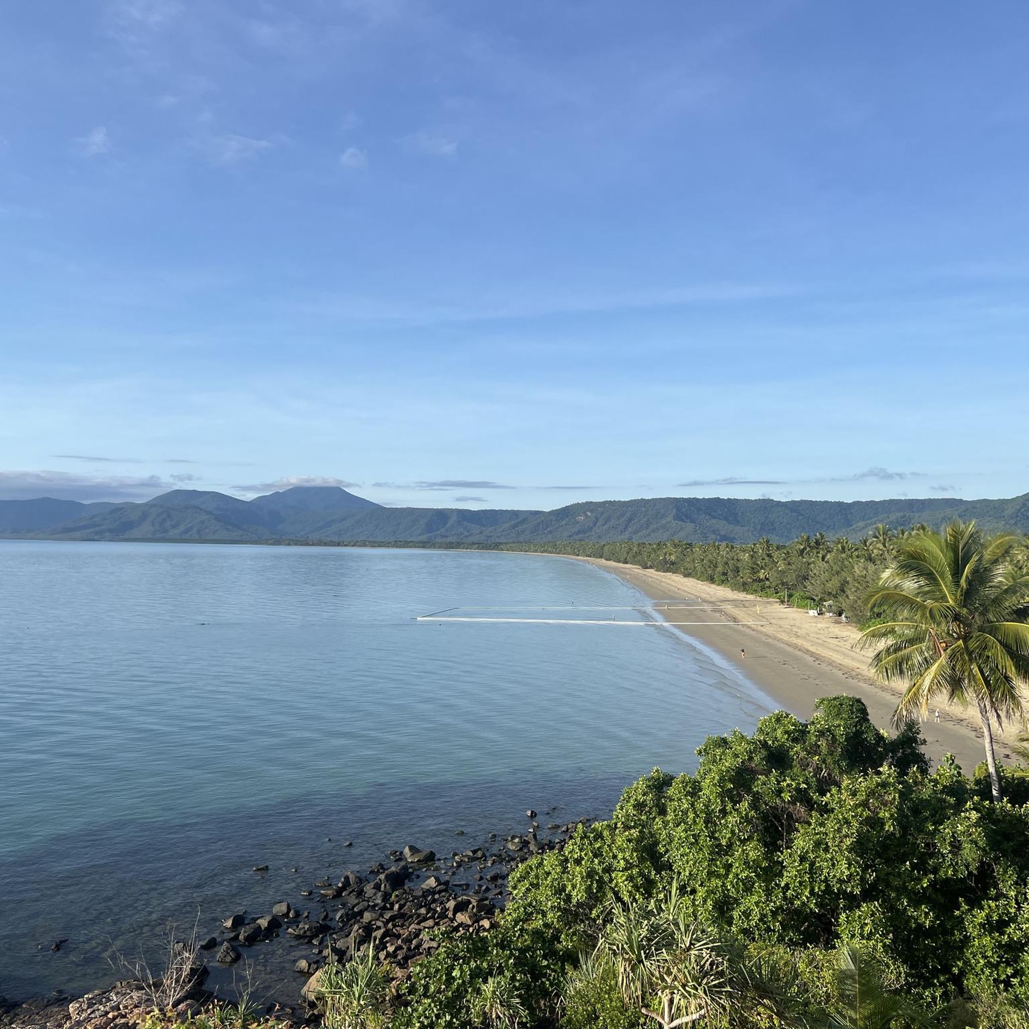
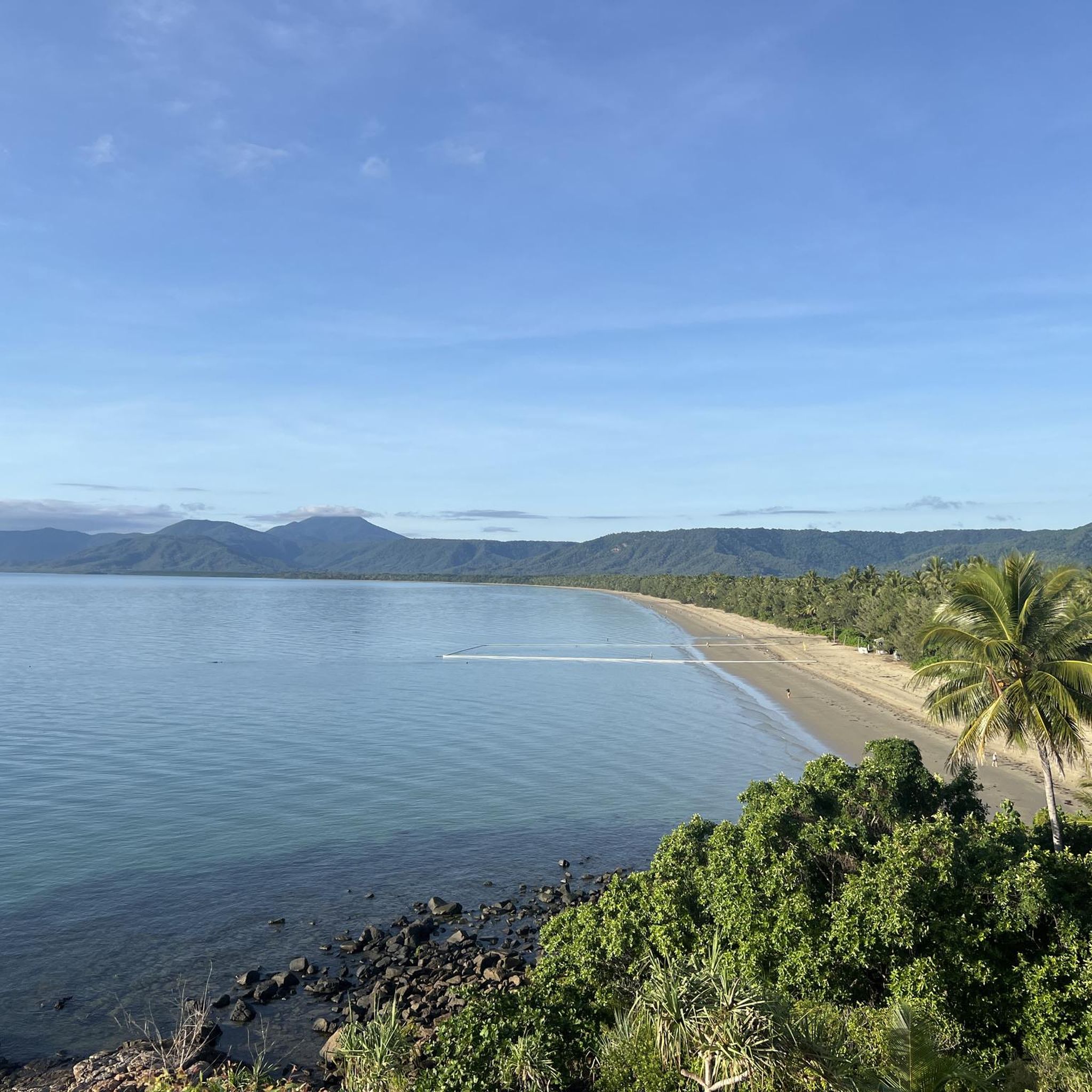
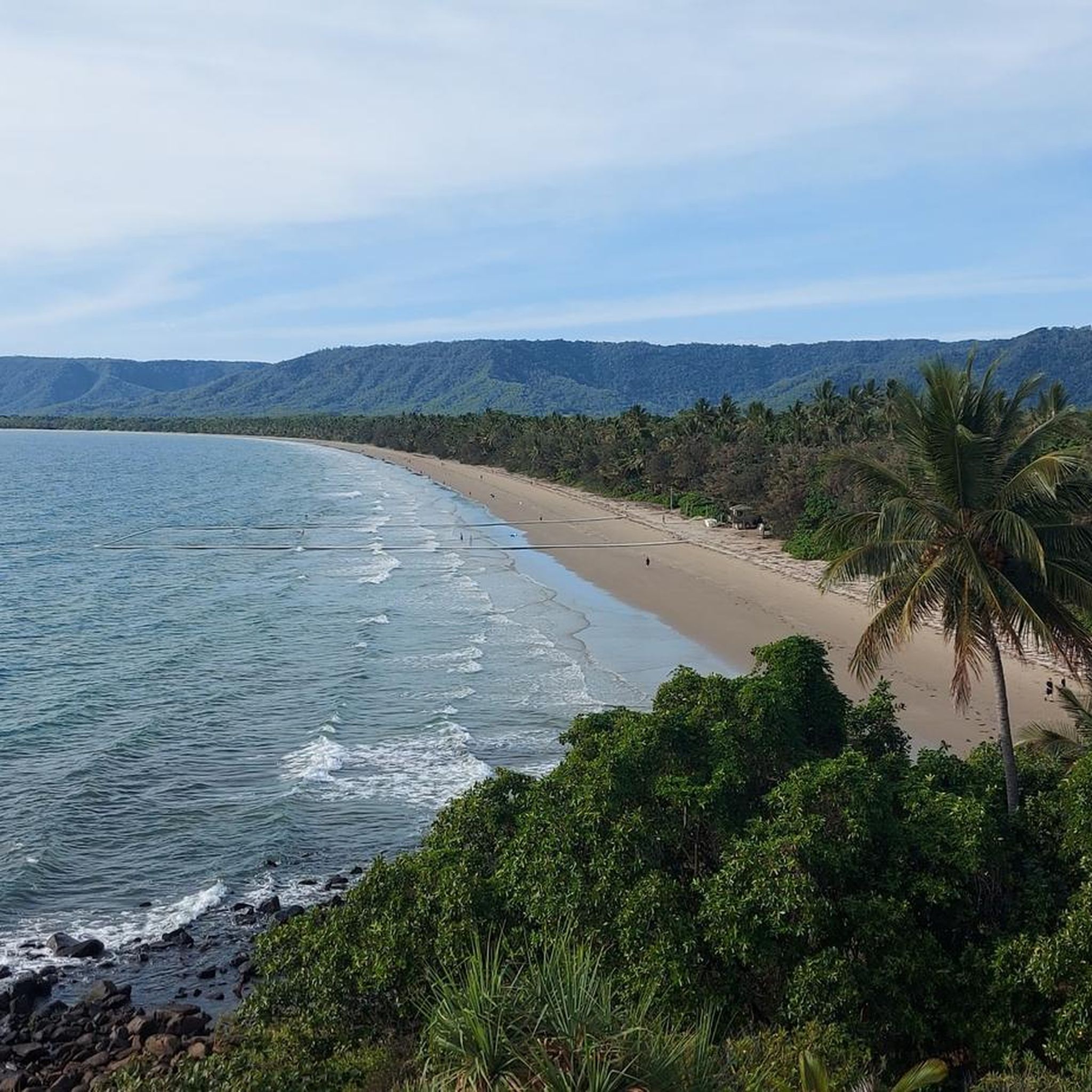
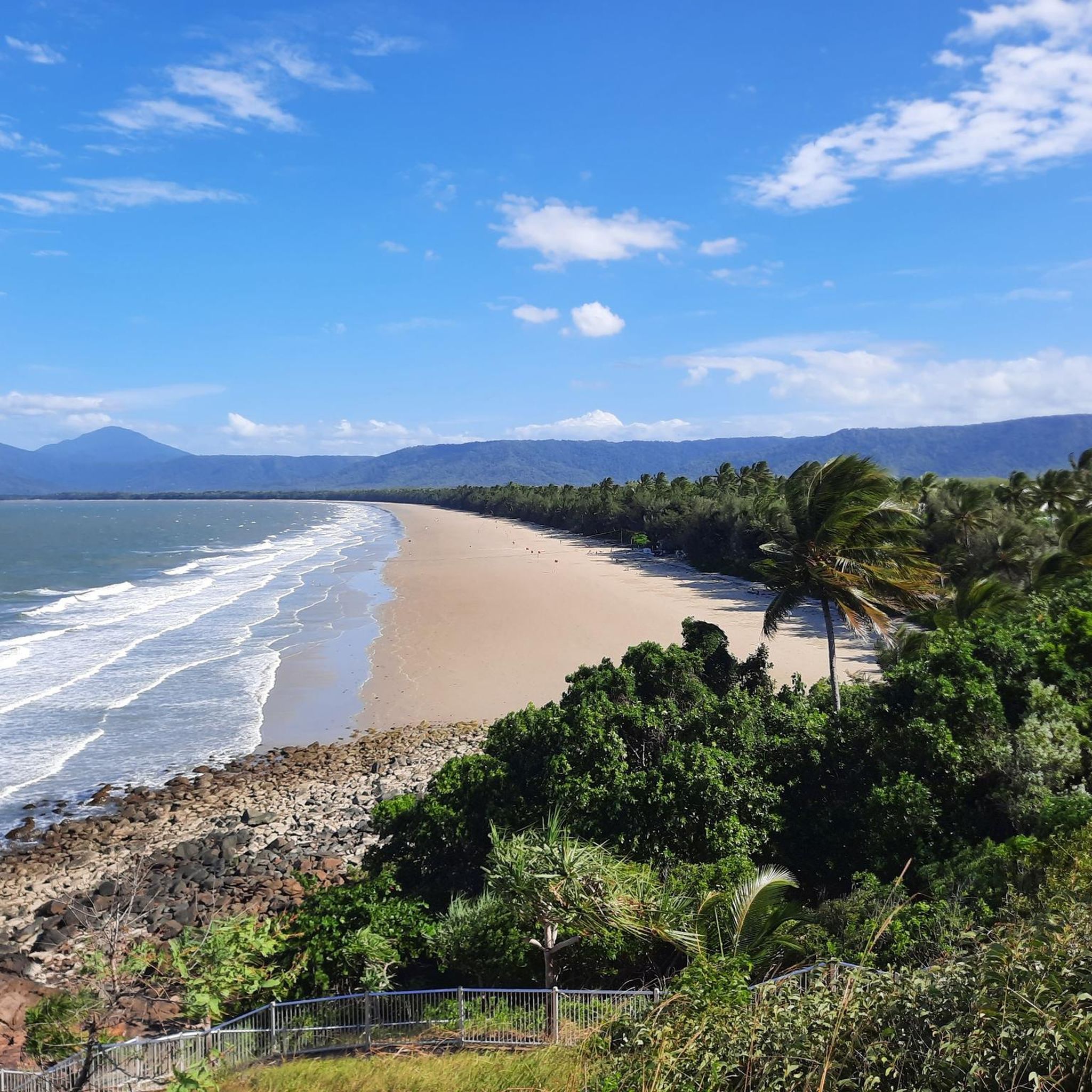
4 Mile Beach Lookout sits at the top of a staircase that descends onto 4 Mile Beach. From here, there are unobstructed views of this long stretch of beach, backed by forests of palm trees with crystal clear water.
0
0
Frequently Asked Questions
How many road cycling routes are available in Macalister Range National Park?
There are 9 road cycling routes available in Macalister Range National Park. These routes offer a mix of easy and moderate challenges, traversing diverse landscapes from tropical rainforest to coastal stretches.
What kind of terrain can I expect when road cycling in Macalister Range National Park?
You can expect varied terrain, including well-paved surfaces, dedicated cycle paths, and roads with stunning coastal views. The region features a rugged, forested mountain range meeting the Coral Sea, offering both flat sections and moderate climbs through tropical rainforests and along scenic coastlines.
Are there road cycling routes suitable for beginners or families?
Yes, there are 4 easy road cycling routes available. For example, the Rex Lookout – Ellis Beach loop from Palm Cove is an easy 36.1 km path offering coastal views and passing by beaches. These routes are generally suitable for any fitness level.
Are there more challenging routes for experienced road cyclists?
Yes, there are 5 moderate road cycling routes for those seeking a greater challenge. Routes like the Flatlands Cycle Path loop from Clifton Beach, at 83 km, offer longer distances and more sustained efforts through dedicated cycle paths and coastal stretches.
What are some scenic viewpoints or points of interest along the road cycling routes?
Many routes offer breathtaking views where the mountains meet the Coral Sea and overlook the Great Barrier Reef Marine Park. The Captain Cook Highway, which some routes follow, is particularly known for its spectacular vistas. You might also encounter tropical rainforest scenery and diverse plant communities.
Can I visit any waterfalls while road cycling in the area?
While most road cycling routes stick to paved surfaces, the broader Macalister Range National Park area is home to Hartleys Creek Falls. This notable attraction is accessible via trails that lead to a stunning waterfall with a swimming hole, though the access itself might involve dirt tracks and gravel roads, which are not typically suitable for road bikes.
What is the best time of year to go road cycling in Macalister Range National Park?
The region is part of the Wet Tropics World Heritage Area, so it experiences a tropical climate. Generally, the dry season (typically May to October) offers more comfortable cycling conditions with less humidity and rainfall, making it ideal for exploring the routes.
Are there dedicated cycle paths or are routes mostly on shared roads with traffic?
The region offers a mix of both. Many routes incorporate dedicated cycle paths, such as those mentioned in the Jungle Trail – Flatlands Cycle Path loop from Palm Cove. Other routes utilize scenic roads like the Captain Cook Highway, which may be shared with vehicles but are popular among cyclists for their views.
What do other road cyclists enjoy most about road cycling in Macalister Range National Park?
The area is highly rated by the komoot community, with an average score of 4.0 stars. Reviewers often praise the unique combination of tropical rainforest scenery with stunning coastal views, as well as the availability of dedicated cycle paths that make for an enjoyable ride.
Are there any loop routes available for road cycling?
Yes, many of the routes are designed as loops, allowing you to start and finish at the same point. Examples include the Jungle Trail – Flatlands Cycle Path loop from Palm Cove and the Pebbly Beach loop from Craiglie, providing convenient circular journeys.
Where can I find more information about Macalister Range National Park regulations or visitor information?
For detailed visitor information, including park regulations and updates, you can consult the official Queensland Parks and Wildlife Service website. Visit parks.qld.gov.au for comprehensive details on the park.
Most popular routes in Macalister Range National Park

Get inspired with the komoot mobile app


Explore more
Browse the best Road cycling routes in other regions.
