The best walks and hikes in Macalister Range National Park
4.5
(59)
767
hikers
19
hikes
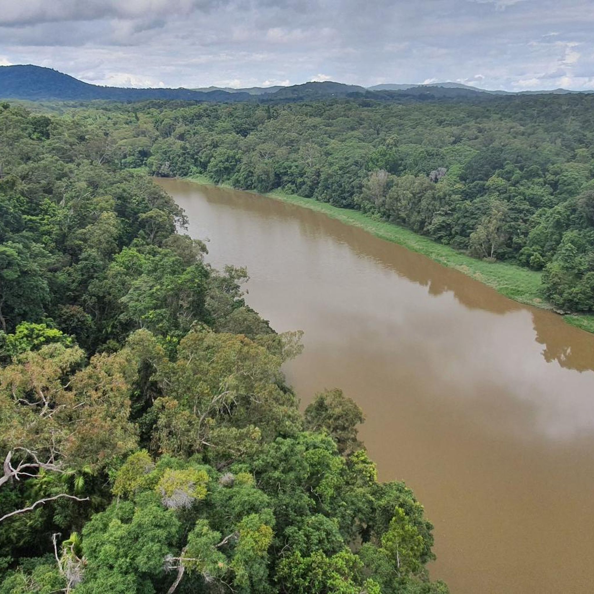
Hiking in Macalister Range National Park offers access to a rugged, forested mountain range that rises from the Far North Queensland coastline. This area, part of the Wet Tropics World Heritage Area, features steep ridges, deep valleys, and diverse plant communities. Elevations range from sea level to 880 meters at Mount Charlie, fostering distinct ecological zones. The terrain is characterized by lush tropical rainforest and open eucalypt forest.
Best hiking trails in Macalister Range National Park
- The most popular hiking…
Last updated: August 20, 2026
4.7
(3)
66
hikers
7.04km
01:59
140m
140m
Easy hike. Great for any fitness level. Easily-accessible paths. Suitable for all skill levels.
5.0
(2)
41
hikers
10.5km
02:39
20m
20m
Moderate hike. Good fitness required. Easily-accessible paths. Suitable for all skill levels.

Sign up for free
30
hikers
Easy hike. Great for any fitness level. Easily-accessible paths. Suitable for all skill levels.
14
hikers
4.81km
01:14
20m
20m
Easy hike. Great for any fitness level. Easily-accessible paths. Suitable for all skill levels.
5.0
(3)
29
hikers
5.13km
01:18
10m
10m
Easy hike. Great for any fitness level. Easily-accessible paths. Suitable for all skill levels.
Get access to more routes and recommendations from other explorers.
Sign up for free
Already have an account?
Our route recommendations are based on thousands of hikes, rides, and runs completed by other people on komoot.
Start today with a free account
Your next adventure awaits.
Login or Signup
Tips from the Community

This idyllic oceanside park and reserve is a great place to spend a day while in Palm Cove. In addition to the lush vegetation and picturesque beach you'll also find BBQs, picnic areas, playgrounds, and open green spaces. The Palm Cove Esplanade also passes through here you can walk along the shoreline with ocean views the whole way.
0
0

Hartley Falls sits deep along Hartley's Creek, where the water drops down a steep rock face into a clear swimming pool surrounded by Wet Tropics rainforest. The final approach is rougher than the main management track, with rock-hopping along the creek needed to reach the falls. It’s a great cooling-off spot after the climb in, but take care around submerged rocks, slippery creek edges, and stronger flow after rain.
0
0
Hartley’s Creek Track follows an old management road through Macalister Range National Park towards Hartley Falls. The walk starts near Hartley's Creek Retreat, follows the fence line into the bush, then climbs and dips through gullies before reaching Flat Rock and the creek. The final section leaves the wider track and involves rough rock-hopping along the creek bed to the falls, so take care after rain when clay, rocks, and creek crossings can become slippery.
0
0

Very worth seeing, you have to see it
0
0
Very worth seeing, you have to see it
0
0
Very worth seeing, you have to see it
0
0

This a great place to take a break, get your feet wet or cool off in one of the rock pools. Its croc free, but please be aware that some pools further up are sensitive to aboriginal culture, so please treat with respect.
0
0
A short hike from the end of the track up the creek to the falls ans a great swimming hole
0
0
Frequently Asked Questions
How many hiking trails are available in Macalister Range National Park?
Macalister Range National Park offers a diverse range of hiking opportunities, with over 15 routes recorded on komoot. These trails cater to various fitness levels, from easy coastal walks to more strenuous moderate ascents through forested areas.
What kind of landscapes can I expect to see while hiking in Macalister Range National Park?
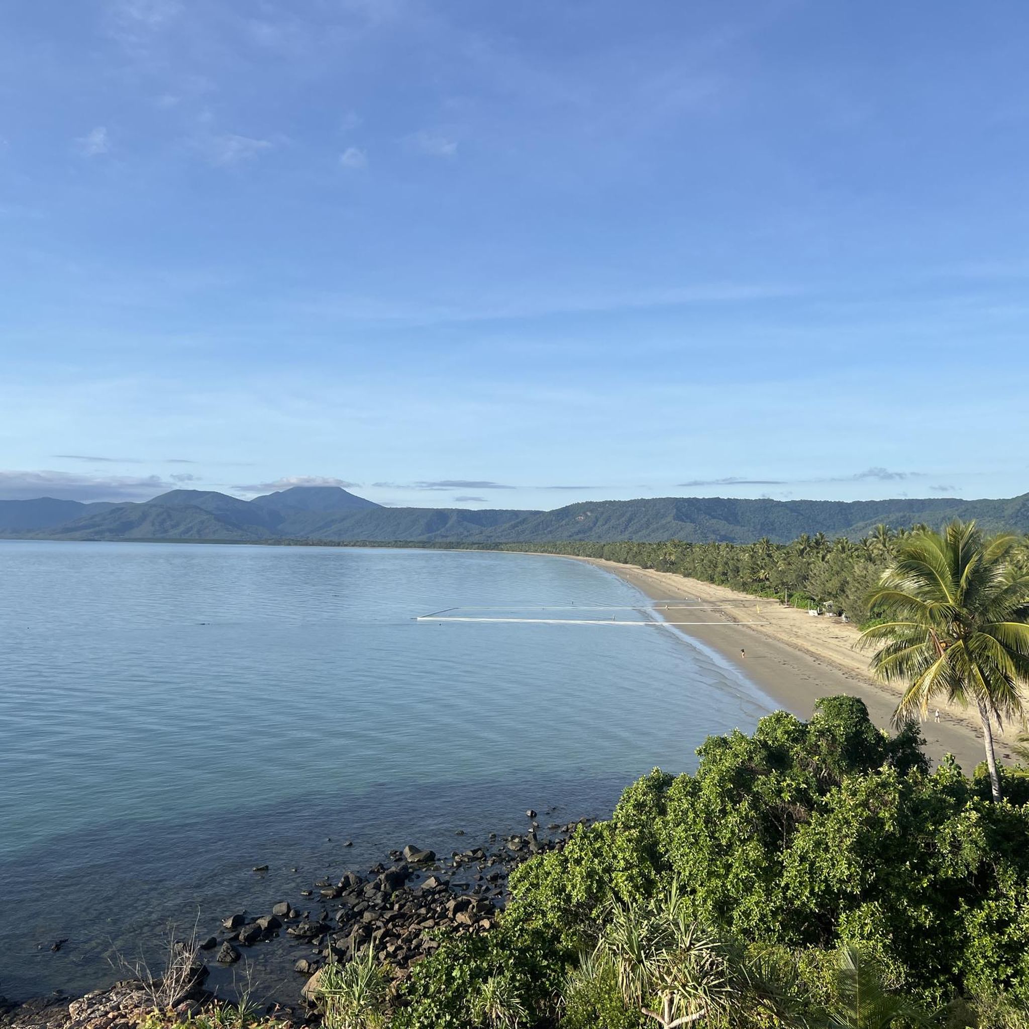
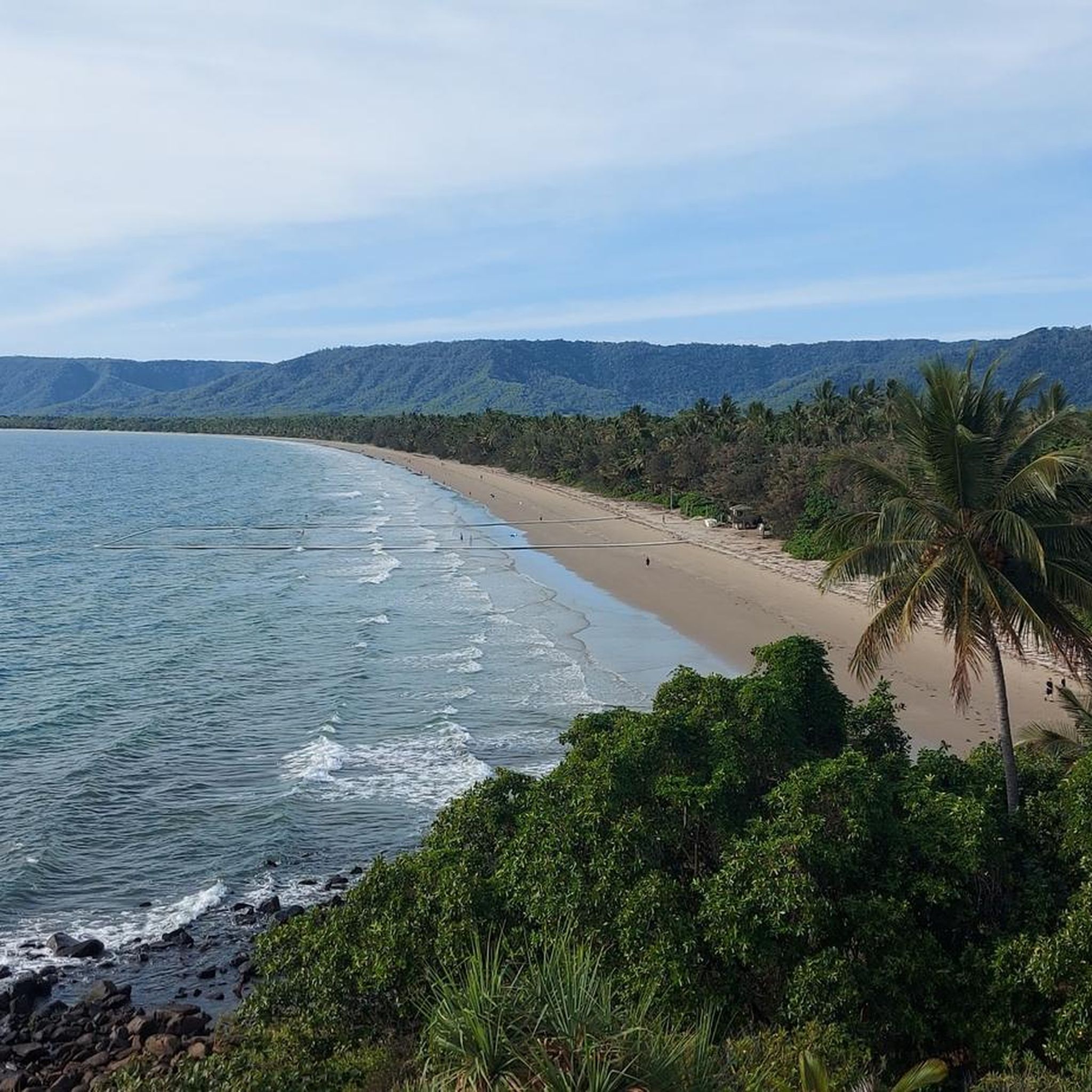
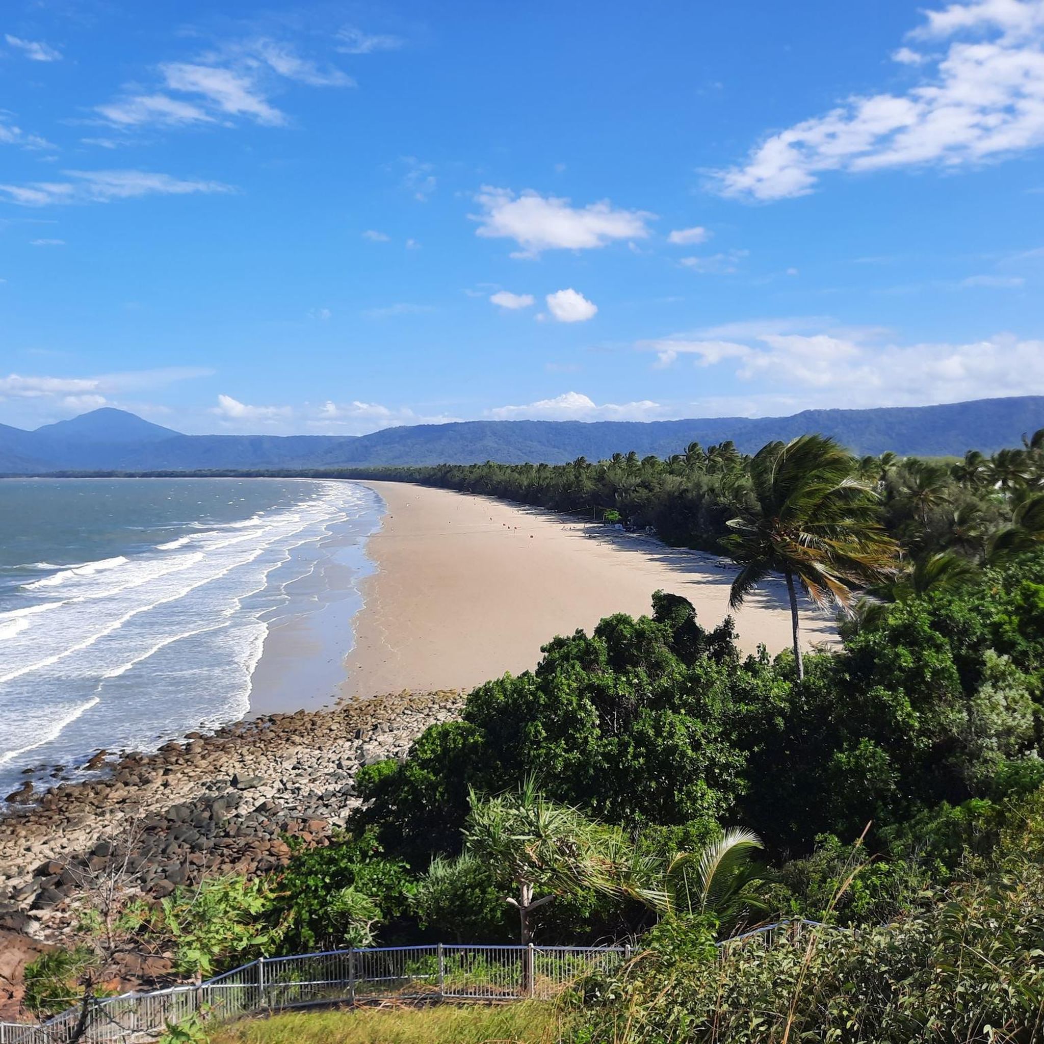
The park features a dramatic landscape where rugged, forested mountains meet the Far North Queensland coastline. You'll experience lush tropical rainforests, open eucalypt forests, steep ridges, and deep valleys. Many trails offer breathtaking vistas of the tropical islands and the expansive Great Barrier Reef Marine Park.
Are there any trails with waterfalls or swimming spots?
Yes, the trail to Hartleys Creek Falls is a popular option. It leads to a picturesque waterfall and an inviting swimming hole, perfect for cooling down. The path itself meanders through tranquil areas rich in birdlife and fascinating flora.
What is the best time of year to go hiking in Macalister Range National Park?
For optimal hiking conditions, it is generally recommended to visit Macalister Range National Park during the drier months. This period typically offers more comfortable temperatures and clearer paths.
Are there any challenging hikes for experienced trekkers?
While the park has many easy options, more experienced hikers can explore routes like the Mowbray National Park – Robbins Creek Bridge loop from Mowbray Conservation Park. This moderate 12 km path features significant elevation gain through forested areas, providing a good workout. The Twin Bridges Track is also known for having the park's most substantial elevation gain.
Are there any multi-use trails suitable for both hiking and mountain biking?
Yes, the Wangetti Trail is a significant multi-use path that traverses the national park. A notable section connects Palm Cove to Ellis Beach, offering an adventurous journey through coastal rainforest and eucalypt forests. It's well-engineered with switchbacks and stone pitching to assist with ascents.
What do other hikers say about the trails in Macalister Range National Park?
The trails in Macalister Range National Park are highly rated by the komoot community, with an average score of 4.4 stars from over 45 reviews. Hikers often praise the diverse terrain, from coastal views to rainforest immersion, and the variety of options for different ability levels.
Are there any easy, family-friendly walks available?
Absolutely. The park offers numerous easy walks and loops, such as those around Palm Cove Beach. Routes like the Palm Cove Pathway – Palm Cove Beach loop from Palm Cove are easy, relatively short, and provide pleasant coastal views, making them suitable for families.
Where can I find information about park access and regulations?
For detailed information regarding park access, facilities, and any specific regulations, including those related to protecting the cassowary population, it's best to consult the official Queensland Parks and Wildlife Service website. You can find more details at parks.qld.gov.au.
Are there any unique sights or landmarks along the coast near the park?
Yes, the Captain Cook Highway, which runs adjacent to the park, offers splendid views of the imposing mountains and inviting beaches. A distinctive and quirky attraction along the beach are the stone towers, or cairns, built by travelers, which have become a unique feature of the area.
What is the highest point in Macalister Range National Park?
The highest point within Macalister Range National Park is Mount Charlie, which reaches an elevation of 880 meters. This significant elevation change contributes to the distinct ecological zones found throughout the park.
Are there any circular routes in the park?
Yes, several circular routes are available, offering convenient options for hikers. Examples include the Palm Cove Beach – Palm Cove Pathway loop from Palm Cove, which is an easy 6.6 km coastal walk, and the more challenging Mowbray National Park – Robbins Creek Bridge loop from Mowbray Conservation Park.
Most popular routes in Macalister Range National Park

Get inspired with the komoot mobile app


Explore more
Browse the best Hikes in other regions.
