The best cycling routes in Forrestdale Lake Nature Reserve
4.6
(26)
163
riders
11
rides
Touring cycling routes in Forrestdale Lake Nature Reserve traverse a landscape characterized by a shallow, seasonal lake and extensive wetlands. The area features fringing sedgelands, swamp paperbark, and banksia woodlands, providing varied natural scenery. The terrain is generally flat, making it suitable for recreational rides, with some routes extending into the broader City of Armadale for longer distances.
Best touring cycling routes in Forrestdale Lake Nature Reserve
- The most popular touring cycling route is Caladenia Grove Reserve loop from Harrisdale…
Last updated: July 2, 2026
3.0
(1)
5
riders
29.2km
01:39
90m
90m
Easy bike ride. Great for any fitness level. Mostly paved surfaces. Suitable for all skill levels.
5.0
(1)
42
riders
34.8km
02:01
110m
110m
Moderate bike ride. Good fitness required. Mostly paved surfaces. Suitable for all skill levels.

Sign up for free
4.0
(1)
16
riders
73.2km
04:18
330m
330m
Moderate bike ride. Good fitness required. Mostly paved surfaces. Suitable for all skill levels.
5.0
(3)
15
riders
48.0km
02:47
160m
160m
Moderate bike ride. Good fitness required. Mostly paved surfaces. Suitable for all skill levels.
5.0
(1)
11
riders
60.1km
03:27
160m
160m
Moderate bike ride. Good fitness required. Mostly paved surfaces. Suitable for all skill levels.
Get access to more routes and recommendations from other explorers.
Sign up for free
Already have an account?
Our route recommendations are based on thousands of hikes, rides, and runs completed by other people on komoot.
Start today with a free account
Your next adventure awaits.
Login or Signup
Popular around Forrestdale Lake Nature Reserve
Tips from the Community

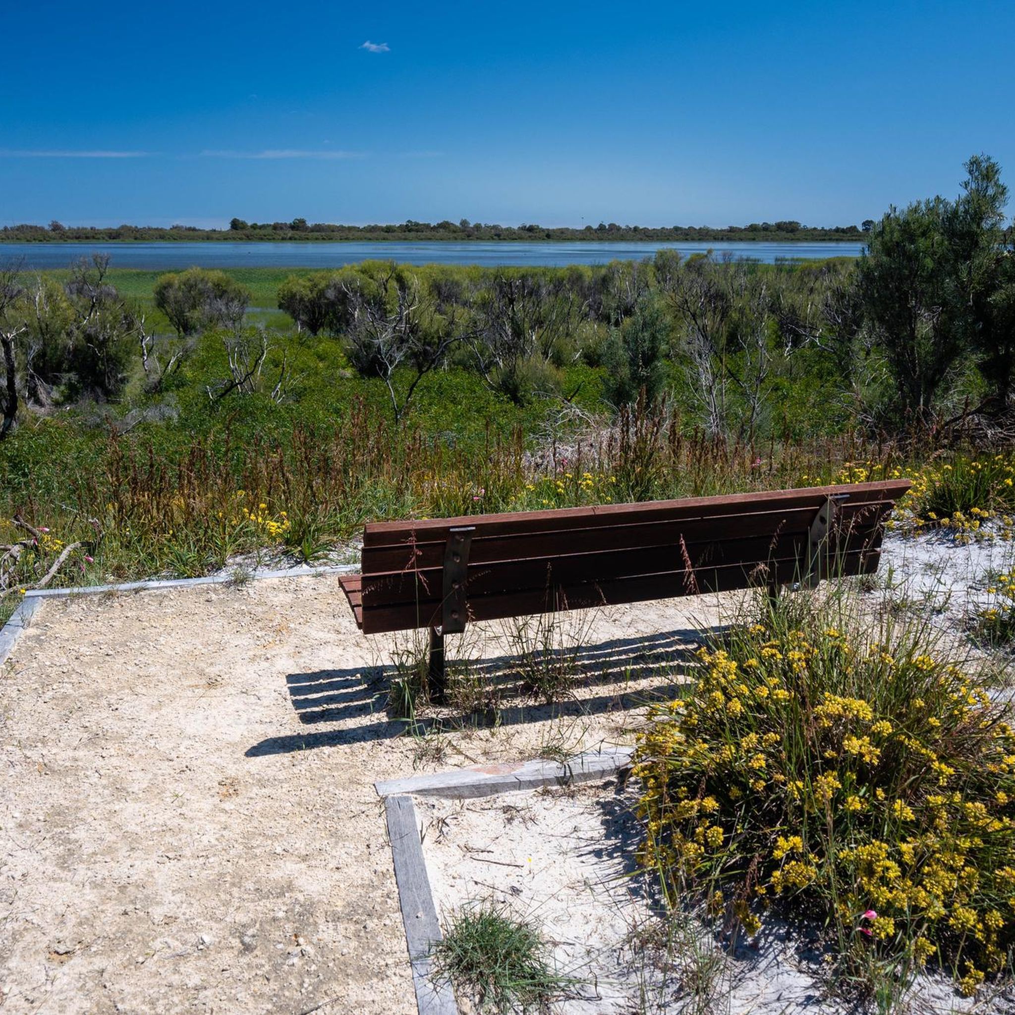
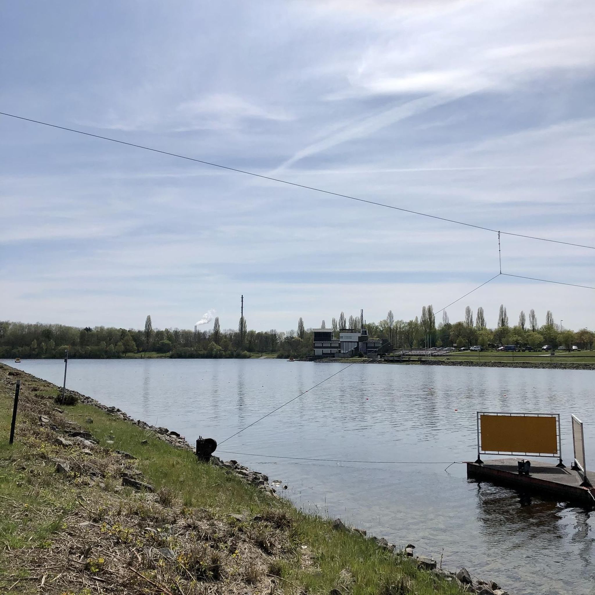
Wright Lake, also known as Champion Lakes. is an international standard facility built for rowing, kayaking, and dragon boat racing. The area around the lake also has swimming beaches and a loop path that's popular with walkers, runners, and cyclists.
0
0

Kwinana Freeway PSP is a principal shared path running for over 20 kilometres alongside the freeway, designed mainly for cycling and commuting. It’s fully sealed, mostly flat, and direct. However, around the Swan River section, it feels less like a typical commuter route, with open views across the water and towards the city skyline on the western side.
0
0

Canning Bridge is a major road bridge that carries Canning Highway across the Canning River between the suburbs of Applecross and Como. Originally built in the 1930s, this key bridge has been rebuilt several times over the years. Under the bridge, various walking and cycling paths wind along the river, connecting several of the surrounding foreshore parklands and offering plenty of options for exploring this beautiful area.
0
0
Kwinana Freeway Shared Path is a major walking and cycling route that runs alongside the Kwinana Freeway through Perth’s southern suburbs. Part of Perth’s Principal Shared Path (PSP) network, the sealed trail provides a direct corridor used by both recreational users and commuters. This quiet section offers a beautiful view of the Canning River and is ideal for connecting to several river foreshore routes and nearby suburbs.
0
0
Mount Henry Bridge is a major road bridge that crosses the Canning River as part of Kwinana Freeway. Opened in 1986, the bridge was one of the longest incrementally launched bridges in the world at the time of its construction. Shared walking and cycling paths run along the river under and adjacent to the bridge, connecting several sections of the Canning River foreshore trails.
0
0
The Canning River is a major river in Perth that flows west from the Darling Range to join the Swan River near Applecross. Its lower reaches are lined with parklands, wetlands, and shared walking and cycling paths that form part of the Swan and Canning river foreshore network. The river is a popular place for walking, cycling, kayaking, birdwatching, and enjoying the picturesque riverside scenery.
0
0
The Esplanade is a riverside road and shared path that runs along the Canning River foreshore in the suburb of Mount Pleasant. The route follows a flat stretch of riverfront with beautiful views across the water and provides access to nearby parks and residential areas. It forms part of the walking and cycling route used in loops around this section of the Canning River, and is a fantastic place to see the sunset if you're lucky enough to be here in the evening.
0
0

Great walking / cycling path along the edge of the water around Rossmoyne. Lots of scenic nature on one side with beautiful big mansions to look at on the other side.
0
0
Frequently Asked Questions
What types of touring cycling routes can I find in Forrestdale Lake Nature Reserve?
Forrestdale Lake Nature Reserve offers a variety of touring cycling routes, ranging from easy to difficult. You'll find paths that traverse the seasonal lake's wetlands and native woodlands, including sedgelands and banksia. The terrain is generally flat, making it suitable for recreational rides, with some routes extending into the broader City of Armadale for longer distances.
Are there any family-friendly cycling options around Forrestdale Lake?
Yes, the Forrestdale Lake Trail, starting at Skeet Memorial Park, is an easy, family-friendly circuit suitable for cycling. A large section of this trail is also accessible for wheelchairs and prams, making it a great option for families with young children. For a slightly longer, easy ride, consider the Caladenia Grove Reserve loop from Harrisdale, which is 19.4 miles (31.2 km) and takes about 1 hour 46 minutes.
What are the best times of year to go touring cycling in Forrestdale Lake Nature Reserve?
The seasonal nature of Forrestdale Lake means conditions change throughout the year. The lake typically fills between June and July, reaching its maximum depth by late September, before usually drying out by early summer. This creates dynamic landscapes for exploration. Spring (September to November) and Autumn (March to May) generally offer the most pleasant weather for cycling, with milder temperatures and the lake often at interesting levels.
Are there any circular touring cycling routes available?
Yes, many of the touring cycling routes in the area are designed as loops. For example, the View of the Canning River – Canning Bridge loop from Aubin Grove is a moderate 22.7 miles (36.5 km) path that follows the Canning River, offering scenic views as a circular route.
What kind of wildlife can I expect to see while cycling around Forrestdale Lake?
Forrestdale Lake Nature Reserve is a crucial wetland and wildlife corridor, especially for birds. You can expect to see numerous waterbirds, including black swans, various duck species, and migratory wading birds. Over 20,000 waterbirds have been recorded here, with 72 species of waterbirds and 74 species of 'bush' birds utilizing the lake and adjacent bushland. Beyond birds, the reserve supports frogs, reptiles like the oblong turtle, and various aquatic invertebrates.
Where can I park my car when visiting Forrestdale Lake Nature Reserve for cycling?
Parking is conveniently available at Skeet Park, which serves as a good starting point for exploring the Forrestdale Lake Trail and other cycling routes in the area.
Are there any longer touring cycling routes that extend beyond the immediate reserve?
Yes, while the immediate reserve is ideal for day trips, its location within the City of Armadale provides access to broader, longer-distance cycling opportunities. For a more extensive ride, consider the View of the Canning River – Cottesloe Beach loop from Aubin Grove, a 46.2 miles (74.4 km) trail leading through riverine landscapes and towards the coast, typically completed in about 4 hours 23 minutes.
What do other touring cyclists say about the routes in Forrestdale Lake Nature Reserve?
The touring cycling routes in Forrestdale Lake Nature Reserve are highly rated by the komoot community, with an average score of 4.7 stars from over 20 reviews. Cyclists often praise the varied terrain, from seasonal lake views to wetlands and native woodlands, and the options available for different ability levels.
Are there any notable landmarks or points of interest along the cycling routes?
While cycling, you'll experience the unique seasonal lake and wetlands, which are designated a Ramsar wetland of international importance. Information boards near the viewing platform and along the Forrestdale Lake Trail offer insights into the lake's ecological and cultural significance, including its historical-mythological importance for local Aboriginal communities.
Can I access the cycling trails using public transport?
The Perth Hills Armadale Visitor Centre provides free walking and trail booklets, which may offer information on public transport access to the broader Armadale area. While specific public transport links directly to the reserve's trailheads for cyclists are not detailed, the City of Armadale is generally accessible.
What are the surface conditions like on the cycling routes?
The cycling routes predominantly feature mostly paved surfaces, making them accessible for different fitness and skill levels. However, some segments, particularly on longer routes extending beyond the immediate reserve, may be unpaved and could require good fitness and appropriate bike tires.
Are there any cafes or places to eat near the cycling routes?
While the immediate Forrestdale Lake Nature Reserve is focused on natural preservation, the broader City of Armadale area, where the reserve is situated, offers various amenities. For example, the Shelley Bridge – Kerbside Café loop from Aubin Grove is a moderate 47.6 km route that suggests a cafe stop, indicating options are available in nearby towns.
Most popular routes in Forrestdale Lake Nature Reserve

Get inspired with the komoot mobile app


Explore more
Browse the best Cycling routes in other regions.
