The best road cycling routes in Forrestdale Lake Nature Reserve
4.9
(20)
798
riders
25
rides
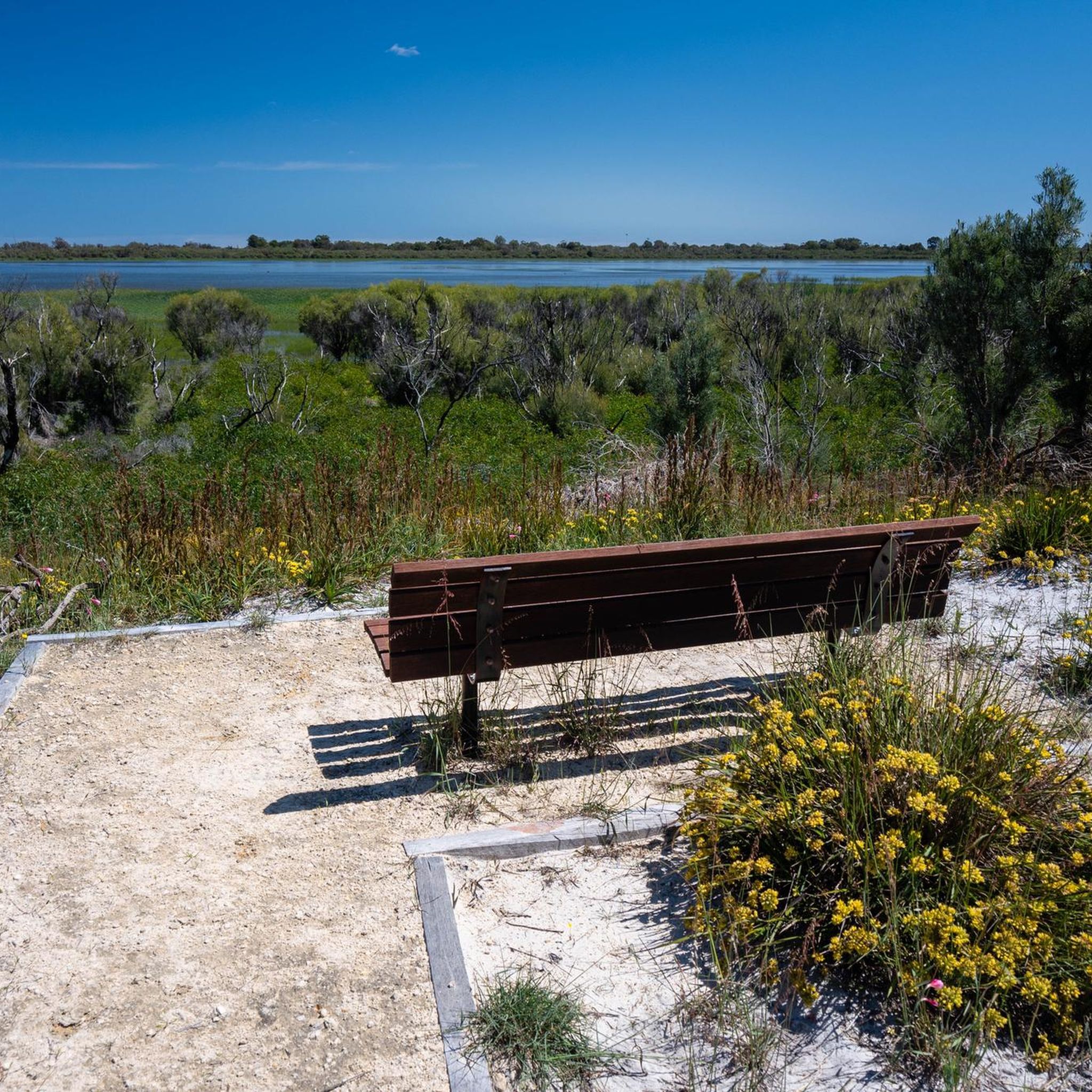
Road cycling routes in Forrestdale Lake Nature Reserve, located approximately 25 kilometres south of Perth in Western Australia, navigate an area characterized by seasonal wetlands, fringing sedgelands, and open woodlands. The reserve itself is an A-class Nature Reserve and a Ramsar wetland, with surrounding roads offering mostly paved surfaces for cycling. These routes integrate the natural beauty of the lake and its adjacent woodlands into rides, providing options for various skill levels within the broader Armadale region. The landscape features…
Last updated: July 2, 2026
83
riders
54.6km
02:22
190m
190m
Moderate road ride. Good fitness required. Some segments of this route may be unpaved and difficult to ride.
19
riders
37.5km
01:36
90m
90m
Easy road ride. Great for any fitness level. Mostly well-paved surfaces and easy to ride.

Sign up for free
5
riders
45.9km
02:03
360m
360m
Moderate road ride. Good fitness required. Mostly well-paved surfaces and easy to ride.
2
riders
24.6km
01:07
50m
50m
Easy road ride. Great for any fitness level. Mostly well-paved surfaces and easy to ride.
12
riders
40.5km
01:53
490m
490m
Moderate road ride. Good fitness required. Mostly well-paved surfaces and easy to ride.
Get access to more routes and recommendations from other explorers.
Sign up for free
Already have an account?
Our route recommendations are based on thousands of hikes, rides, and runs completed by other people on komoot.
Start today with a free account
Your next adventure awaits.
Login or Signup
Popular around Forrestdale Lake Nature Reserve
Tips from the Community

If you stand behind the sculpture, its ornate metal wings perfectly frame the skyscrapers of downtown Perth. The sculpture was created by Denise Pepper from stainless steel and aluminium.
2
0
The waterfront path does a little loop at the 'Fragment' sculpture, created by artist Kevin Draper. You can see downtown Perth across the water, and it's possible to follow the trail from here to walk or cycle basically the entire visible coast of the Swan River.
0
0

Canning Bridge is a major road bridge that carries Canning Highway across the Canning River between the suburbs of Applecross and Como. Originally built in the 1930s, this key bridge has been rebuilt several times over the years. Under the bridge, various walking and cycling paths wind along the river, connecting several of the surrounding foreshore parklands and offering plenty of options for exploring this beautiful area.
0
0
Mount Henry Bridge is a major road bridge that crosses the Canning River as part of Kwinana Freeway. Opened in 1986, the bridge was one of the longest incrementally launched bridges in the world at the time of its construction. Shared walking and cycling paths run along the river under and adjacent to the bridge, connecting several sections of the Canning River foreshore trails.
0
0
The Canning River is a major river in Perth that flows west from the Darling Range to join the Swan River near Applecross. Its lower reaches are lined with parklands, wetlands, and shared walking and cycling paths that form part of the Swan and Canning river foreshore network. The river is a popular place for walking, cycling, kayaking, birdwatching, and enjoying the picturesque riverside scenery.
0
0
The Esplanade is a riverside road and shared path that runs along the Canning River foreshore in the suburb of Mount Pleasant. The route follows a flat stretch of riverfront with beautiful views across the water and provides access to nearby parks and residential areas. It forms part of the walking and cycling route used in loops around this section of the Canning River, and is a fantastic place to see the sunset if you're lucky enough to be here in the evening.
0
0


Beautiful sculpture right next to the jetty!
1
0
Frequently Asked Questions
How many road cycling routes are available in Forrestdale Lake Nature Reserve?
There are over 25 road cycling routes in and around the Forrestdale Lake Nature Reserve area. These routes offer a variety of experiences, from easy rides to more challenging excursions.
What is the typical difficulty level of road cycling routes in this region?
The routes cater to various skill levels. You'll find 4 easy routes, 20 moderate routes, and 2 more challenging routes, ensuring options for both casual riders and those seeking a more demanding experience.
Are the road cycling routes around Forrestdale Lake Nature Reserve mostly paved?
Yes, the road cycling routes in and around Forrestdale Lake Nature Reserve primarily feature mostly paved surfaces. This makes them suitable for road bikes and offers a smooth riding experience.
What kind of landscapes will I see while road cycling near Forrestdale Lake?
You can expect to cycle through areas characterized by seasonal wetlands, fringing sedgelands, and open woodlands. The routes integrate the natural beauty of the lake and its adjacent woodlands, with features like paperbarks, swamp banksia, and candlestick banksia trees.
What do other road cyclists enjoy most about cycling in Forrestdale Lake Nature Reserve?
The area is highly rated by the komoot community, with an average score of 4.9 stars from more than 8 reviews. Cyclists often praise the varied terrain that combines urban and natural landscapes, and the well-maintained routes that offer views of local wetlands.
Are there any family-friendly road cycling options in the area?
Yes, there are several easy routes suitable for families. For example, the Thomsons Lake Wetlands loop from Harrisdale is an easy 23.3-mile (37.5 km) path that provides scenic views of local wetlands and natural features, perfect for a family outing.
Can I bring my dog on the road cycling routes?
While the Forrestdale Lake Nature Reserve itself is a sensitive wetland environment with specific rules for nature walks, road cycling typically occurs on public roads surrounding the reserve. It's generally permissible to cycle with dogs on a leash on public roads, but always ensure your dog is well-behaved and does not disturb wildlife or other road users. Specific restrictions might apply within the reserve's immediate walking trails.
Is there parking available for cyclists near the routes?
Yes, parking is generally available in the residential areas and near public parks that serve as starting points for many routes. For instance, routes starting from Harrisdale or Ranford Block would have local parking options, though it's always advisable to check specific starting points for dedicated cyclist parking.
Can I access the road cycling routes using public transport?
The Forrestdale Lake Nature Reserve is located approximately 25 kilometres south of Perth. While direct public transport to specific route starting points might require some planning, the broader Armadale region is serviced by public transport. Cyclists may need to combine public transport with a short ride to reach their desired starting location.
Are there any cafes or places to stop for refreshments along the road cycling routes?
The routes often pass through or near suburban areas like Harrisdale and Ranford Block, where you can find cafes and shops for refreshments. While not directly within the nature reserve, the surrounding communities offer convenient stops for cyclists.
What are some notable landmarks or points of interest I might encounter while cycling?
While the reserve itself is a significant natural landmark, road cycling routes in the broader Armadale area might take you past other points of interest. For example, the Champion Lakes loop from Ranford Block leads through the Champion Lakes area, a popular recreational spot. The reserve itself is an A-class Nature Reserve and a Ramsar wetland, crucial for its diverse waterbird populations, offering a unique natural backdrop to your ride. You can learn more about the reserve's significance on Wikipedia.
What is the best time of year for road cycling in Forrestdale Lake Nature Reserve?
The region experiences a Mediterranean climate. While cycling is possible year-round, the cooler, drier months from autumn to spring (roughly March to November) are generally more pleasant. Summers can be hot, and the lake itself is a seasonal wetland that typically dries out by mid-summer, which might affect the scenery.
Most popular routes in Forrestdale Lake Nature Reserve

Get inspired with the komoot mobile app


Explore more
Browse the best Road cycling routes in other regions.
