The best road cycling routes in Woodbridge Hill Conservation Area
57
riders
4
rides
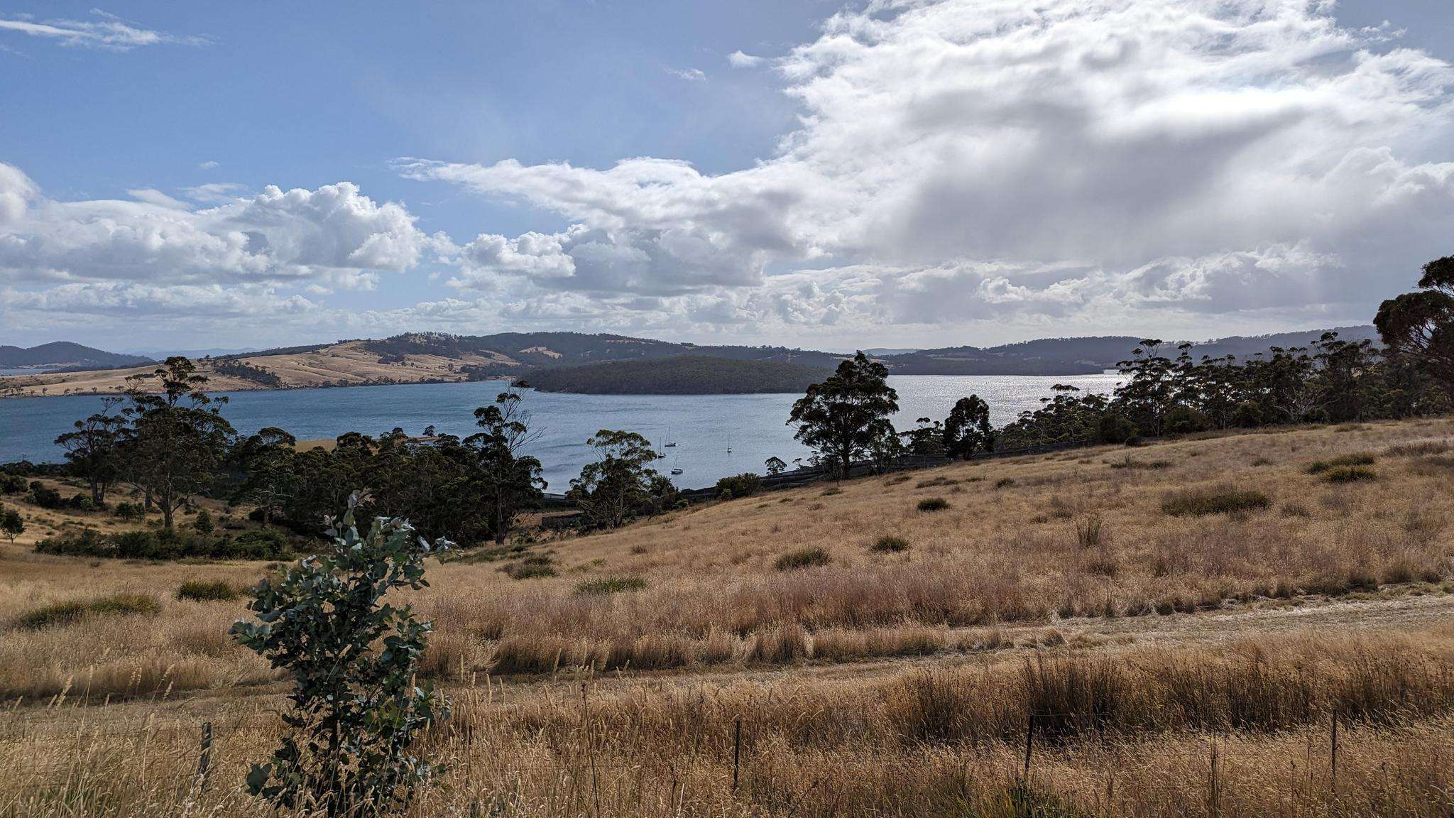
Road cycling routes in Woodbridge Hill Conservation Area offer varied terrain within Tasmania's natural landscape. The region features Woodbridge Hill, a prominent mountain rising to 2,021 feet (616 meters), providing significant climbs and descents for cyclists. Routes are generally well-paved, with some segments potentially unpaved, catering to different fitness levels. The area's topography contributes to a dynamic riding experience, set against a backdrop of hills and rugged beauty characteristic of Tasmania.
Best road cycling routes in Woodbridge Hill Conservation Area
…Last updated: July 9, 2026
25
riders
78.1km
03:26
690m
690m
Moderate road ride. Good fitness required. Mostly well-paved surfaces and easy to ride.
8
riders
34.8km
01:40
490m
490m
Moderate road ride. Good fitness required. Mostly well-paved surfaces and easy to ride.

Sign up for free
6
riders
49.0km
02:31
800m
800m
Moderate road ride. Good fitness required. Mostly well-paved surfaces and easy to ride.
18
riders
96.6km
04:43
1,400m
1,400m
Hard road ride. Very good fitness required. Mostly well-paved surfaces and easy to ride.
Our route recommendations are based on thousands of hikes, rides, and runs completed by other people on komoot.
Start today with a free account
Your next adventure awaits.
Login or Signup
Popular around Woodbridge Hill Conservation Area
Frequently Asked Questions
What kind of terrain can I expect on road cycling routes in Woodbridge Hill Conservation Area?
The Woodbridge Hill Conservation Area offers varied terrain, characterized by significant climbs and descents due to Woodbridge Hill, which rises to 2,021 feet (616 meters). Routes are generally well-paved, but some segments may be unpaved, adding to the dynamic riding experience. You'll encounter the rugged beauty and hills typical of Tasmania's landscape.
How many road cycling routes are available in Woodbridge Hill Conservation Area?
There are 4 distinct road cycling routes documented in the Woodbridge Hill Conservation Area, catering to different fitness levels and offering diverse experiences across the region's landscape.
Are there challenging road cycling routes for experienced riders?
Yes, the region offers routes with significant elevation changes suitable for experienced riders. For instance, the Catos Bay – Port Cygnet Conservation Area loop from Cygnet is classified as difficult, featuring over 1,400 meters of elevation gain over its 96.6 km distance.
Are there any circular road cycling routes in the area?
Yes, several routes are designed as loops, allowing you to start and finish in the same location. Examples include the Truganini Lookout – Coal Point Conservation Area loop from Kettering and the Port Cygnet Conservation Area loop from Gardners Bay.
What are the best routes for scenic views in Woodbridge Hill Conservation Area?
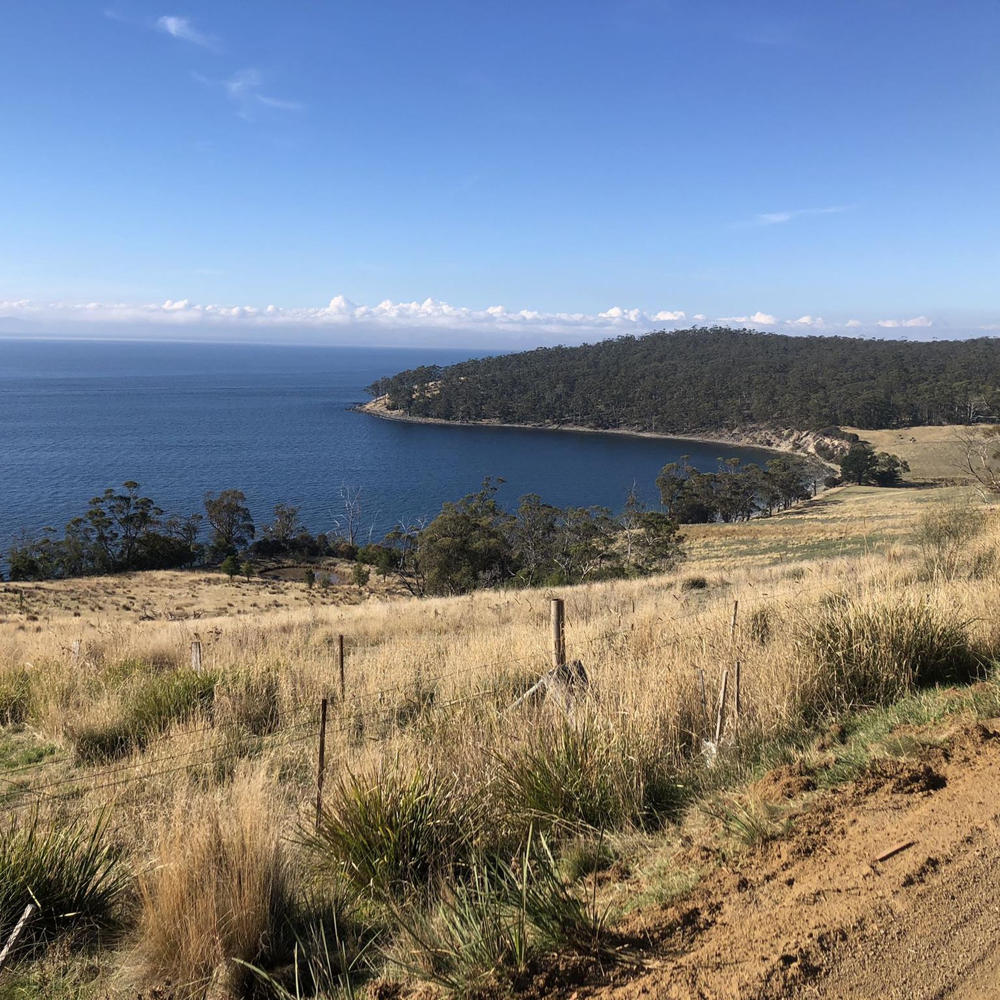
The entire region is known for its picturesque Tasmanian landscapes, offering stunning coastal views and lush forests. Routes like the Roadbike loop from Gardners Bay lead through diverse landscapes that showcase the area's natural beauty and rugged terrain.
What is the best time of year for road cycling in Woodbridge Hill Conservation Area?
While specific seasonal data isn't provided, Tasmania's climate generally makes spring (September-November) and autumn (March-May) ideal for cycling, offering milder temperatures and often stable weather conditions. Summer can be warm, and winter may bring cooler, wetter conditions, especially at higher elevations.
Is Woodbridge Hill Conservation Area suitable for family-friendly road cycling?
The routes in Woodbridge Hill Conservation Area are generally described as moderate to difficult, with significant elevation changes. While some sections might be manageable for families with older, experienced children, the overall terrain suggests it's more suited for cyclists with good fitness levels rather than casual family rides.
Where can I park when visiting Woodbridge Hill Conservation Area for road cycling?
Specific parking areas for individual routes are not detailed, but common starting points like Kettering and Gardners Bay, which are mentioned in route descriptions, typically offer public parking options. It's advisable to check local information for these towns before your visit.
What do other road cyclists enjoy about the routes in Woodbridge Hill Conservation Area?
Over 50 road cyclists have explored the Woodbridge Hill Conservation Area using komoot. Riders frequently praise the varied terrain, significant elevation changes, and the backdrop of Tasmania's rugged beauty, which together create a dynamic and rewarding riding experience.
Are there any moderate road cycling routes for intermediate riders?
Yes, the majority of routes in the area are classified as moderate. For example, the Truganini Lookout – Coal Point Conservation Area loop from Kettering is a moderate 78.3 km route, and the Port Cygnet Conservation Area loop from Gardners Bay is a moderate 34.8 km path, both offering extensive riding through varied terrain.
Most popular routes in Woodbridge Hill Conservation Area

Get inspired with the komoot mobile app


Explore more
Browse the best Road cycling routes in other regions.
