The best cycling routes in Derrimut Grassland Nature Conservation Reserve
4.3
(93)
1,442
riders
46
rides
Touring cycling in Derrimut Grassland Nature Conservation Reserve features routes primarily along urban waterways and through open grassland areas. The landscape is characterized by flat terrain, following the paths of Kororoit Creek and the Maribyrnong River. These routes offer accessible cycling through natural reserves within a metropolitan setting. The area provides a network of paved and unpaved paths suitable for various cycling preferences.
Best touring cycling routes in Derrimut Grassland Nature Conservation Reserve
- The most popular touring cycling route is Kororoit Creek – Pathway Along the River loop from Deer Park, a 17.7 miles (28.5 km) trail that takes 1 hour 39 minutes to complete, following the scenic Kororoit Creek.
- Another top favourite among local touring cyclists is Footscray Wharf – Footscray Wharf loop from Albion, an easy 18.8 miles (30.3 km) path. This route offers views of the Maribyrnong River and urban waterfront.
- Local touring cyclists also love the Kororoit Creek – Spotswood Pumping Station loop from Deer Park, a 30.5 miles (49.1 km) trail leading through riverside parklands, often completed in about 2 hours 50 minutes.
- Touring cycling in Derrimut Grassland Nature Conservation Reserve is defined by flat, accessible paths along Kororoit Creek and the Maribyrnong River, alongside open grassland areas. The network offers options for different ability levels, including beginner friendly bike paths.
- The routes in Derrimut Grassland Nature Conservation Reserve are highly rated by the komoot community with an average score of 4.3 stars from over 150 reviews. More than 2,000 touring cyclists have used komoot to explore Derrimut Grassland Nature Conservation Reserve's varied terrain.
Last updated: July 8, 2026
3.0
(1)
23
riders
32.6km
01:54
90m
90m
Easy bike ride. Great for any fitness level. Mostly paved surfaces. Suitable for all skill levels.
4.3
(3)
18
riders
28.5km
01:39
80m
80m
Easy bike ride. Great for any fitness level. Mostly paved surfaces. Suitable for all skill levels.

Sign up for free
3.0
(1)
13
riders
49.2km
02:51
130m
130m
Moderate bike ride. Good fitness required. Mostly paved surfaces. Suitable for all skill levels.
5.0
(1)
6
riders
Moderate bike ride. Good fitness required. Mostly paved surfaces. Suitable for all skill levels.
6
riders
Easy bike ride. Great for any fitness level. Mostly paved surfaces. Suitable for all skill levels.
Get access to more routes and recommendations from other explorers.
Sign up for free
Already have an account?
Our route recommendations are based on thousands of hikes, rides, and runs completed by other people on komoot.
Start today with a free account
Your next adventure awaits.
Login or Signup
Popular around Derrimut Grassland Nature Conservation Reserve
Tips from the Community

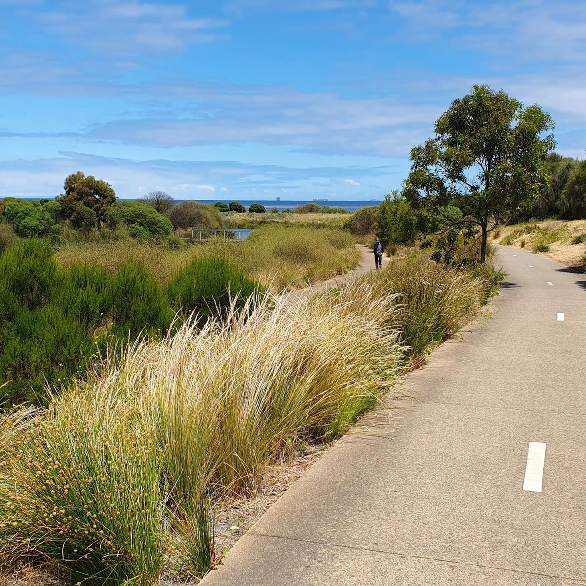
Hobsons Bay Coastal Trail is a 23-kilometre shared walking and cycling path that runs along the shores of Port Phillip Bay from West Gate Bridge to Skeleton Creek in Altona Meadows. It’s a mostly flat, well-signed route that passes several beaches, parks, wetlands, historic sites, and coastal villages, including Williamstown, Altona Beach and the Truganina Coastal Parklands. Whether tackling the full trail or a shorter section, it’s a great way to explore the area by bike or on foot.
1
0

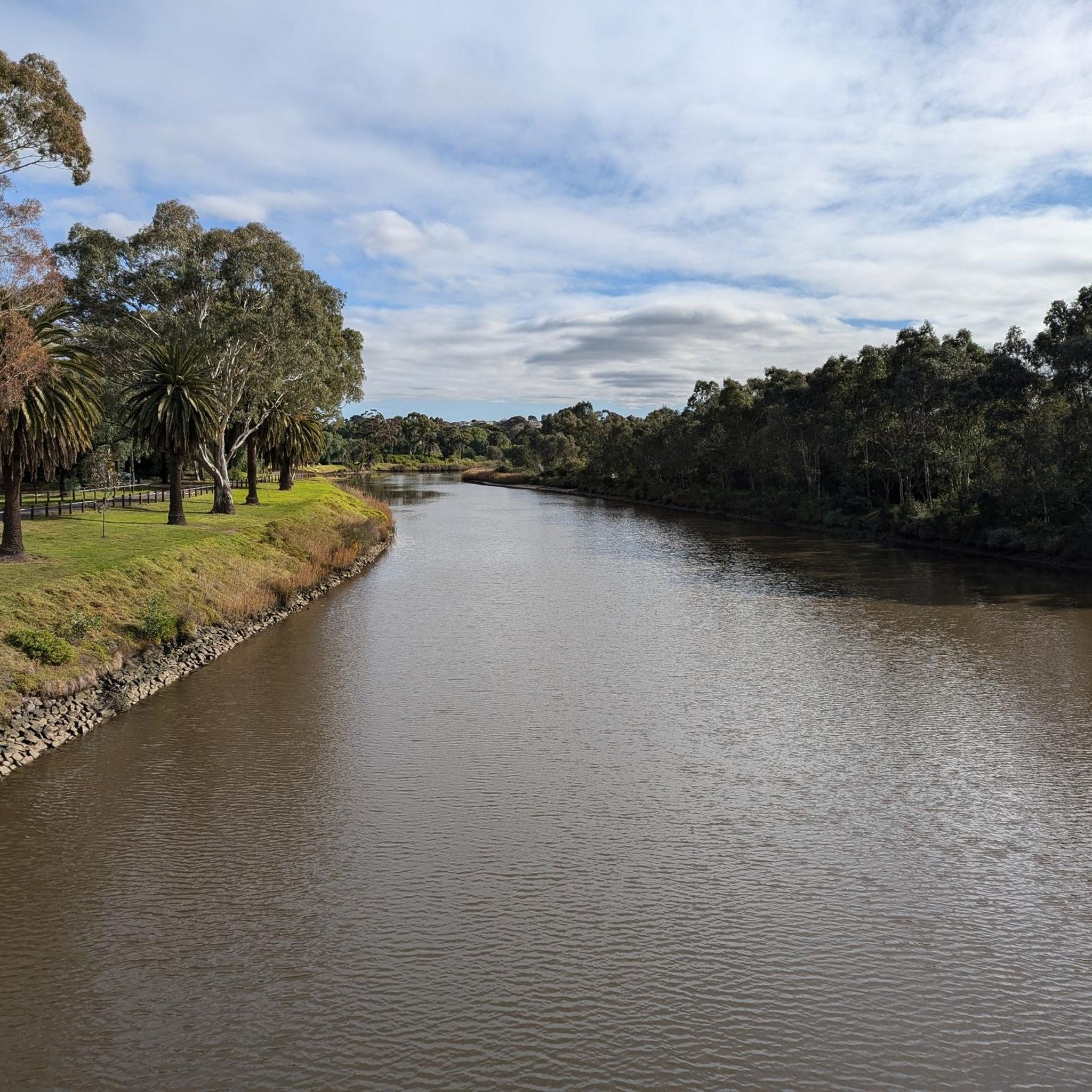
The multi-use Maribyrnong River Trail follows its eponymous river for nearly 25 kilometres through northwest Melbourne. Along the way it passes through multiple parks and neighbourhoods where walkers, joggers, and cyclists can stop to enjoy the scenery or meet friends at one of the cafés that lie a short distance from the path.
0
0
This short crossing connects the trails on either side of the Maribyrnong River. It can get flooded when the water is high so don't plan on using it after heavy rain.
0
0

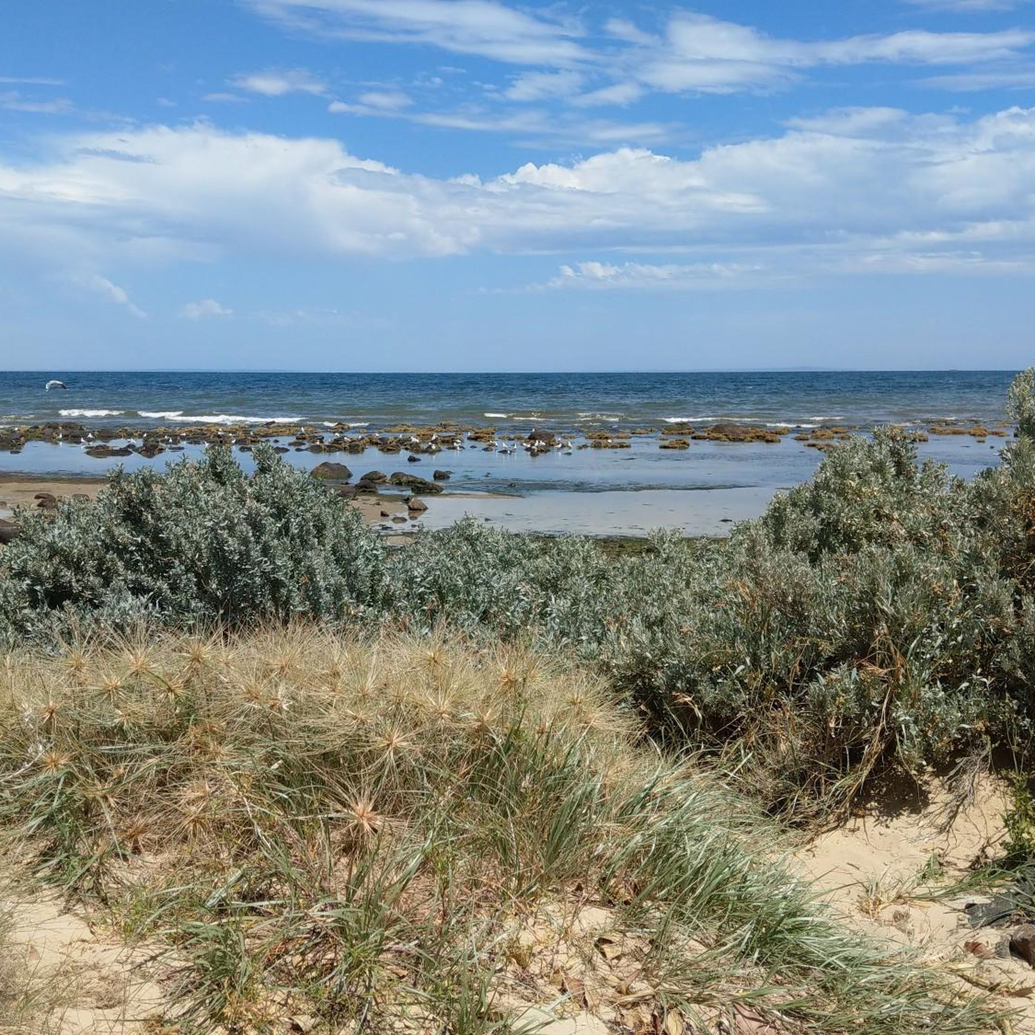
Williamstown Beach is known for its golden sand, calm waters, and views across the harbour. In summer, it's popular with swimmers, picnickers, and walkers enjoying the Hobsons Bay Coastal Trail. The beach is near the Williamstown Ferry Terminal, a convenient ferry service going to downtown Melbourne.
0
0
The Point Gellibrand Timeball Tower is a maritime landmark sitting on the grassy lawns of Hobsons Bay. It was built in the 19th century for timekeeping. This tower was used to coordinate shipping schedules and help with accurate navigation for ships coming in and out of the port. It still stands today though not used by ships anymore it remains as an interesting landmark.
1
0
This beautiful park is a revitalised floodplain wetland along the Maribyrnong River, created to improve water quality and foster local biodiversity. There are picnic areas and a network of boardwalks and shared pathways throughout the grounds, where you can explore the area and observe the diverse birdlife and native plant species up close. This peaceful, nature-focused space is connected to the Maribyrnong River Trail, making it the perfect spot for a quiet escape amid the bustling surrounding urban environment.
0
0
Heavenly Queen Temple is a large Taoist temple dedicated to Mazu, the Chinese sea goddess, and is considered the largest of its kind in Australia. Set along the Maribyrnong River, the complex features traditional Chinese architecture inspired by Beijing’s Forbidden City, expansive gardens, and a prominent gold-painted statue of Mazu. Easily reached from nearby trails, the temple is open daily from around 9:30 am to 3:30 pm, and with free admission, it's a culturally rich and visually impressive stop along the river corridor.
0
0
Frequently Asked Questions
How many touring cycling routes are available in Derrimut Grassland Nature Conservation Reserve?
There are over 50 touring cycling routes in Derrimut Grassland Nature Conservation Reserve. These routes primarily follow urban waterways and traverse open grassland areas, offering accessible cycling within a metropolitan setting.
Are there beginner-friendly touring cycling paths in the reserve?
Yes, the majority of touring cycling routes in Derrimut Grassland Nature Conservation Reserve are considered easy. Out of over 50 routes, 35 are rated as easy, making them suitable for beginners and casual riders. An example is the Pathway Along the River – Hosken Reserve Lookout loop from Sunshine, which is an easy 16.7 km ride.
What kind of terrain can I expect on touring cycling routes in Derrimut Grassland?
The terrain in Derrimut Grassland Nature Conservation Reserve is predominantly flat, following the paths of Kororoit Creek and the Maribyrnong River. You'll find a mix of paved and unpaved paths, offering a smooth ride through open grassland and riverside parklands.
Are there any circular touring cycling routes in the area?
Yes, many of the touring cycling routes in Derrimut Grassland Nature Conservation Reserve are designed as loops. For instance, the popular Kororoit Creek – Pathway Along the River loop from Deer Park is a 28.5 km circular trail, and the Footscray Wharf – Footscray Wharf loop from Albion is another easy loop option.
What do other touring cyclists enjoy most about cycling in Derrimut Grassland Nature Conservation Reserve?
The area is highly rated by the komoot community, with an average score of 4.3 stars from over 150 reviews. Reviewers often praise the accessible, flat paths along the waterways, the peaceful grassland scenery, and the convenience of cycling within a metropolitan area.
Are the touring cycling routes suitable for families with children?
Given the flat terrain and numerous easy-rated routes, Derrimut Grassland Nature Conservation Reserve is well-suited for family cycling. The dedicated paths along Kororoit Creek and the Maribyrnong River provide a safe and enjoyable environment for riders of all ages.
What are the best seasons for touring cycling in Derrimut Grassland?
Spring and autumn generally offer the most pleasant conditions for touring cycling in Derrimut Grassland, with mild temperatures and less extreme weather. Summer can be hot, and winter can be cooler and wetter, so checking the forecast is always recommended.
Can I access the touring cycling routes using public transport?
Yes, the Derrimut Grassland Nature Conservation Reserve is located within metropolitan Melbourne, making it accessible by public transport. Various train stations and bus routes serve the surrounding suburbs, providing convenient access points to the trail network.
Are there places to stop for refreshments or food near the cycling paths?
As the reserve is situated within a metropolitan area, there are cafes, pubs, and other amenities in the nearby suburbs of Deer Park, Sunshine, and Footscray. These can be found a short distance from the main cycling paths, particularly around the start and end points of many routes.
What kind of wildlife might I see while cycling in the reserve?
Derrimut Grassland Nature Conservation Reserve is known for its native grassland ecosystems. While cycling, you might spot various bird species, including raptors, and other small native animals that inhabit the open grasslands and riparian zones along the creeks and rivers.
Are there any longer touring cycling routes for more experienced riders?
Yes, while many routes are easy, there are also moderate options for those seeking a longer ride. For example, the Kororoit Creek – Spotswood Pumping Station loop from Deer Park is a 49.1 km moderate trail, and the Maribyrnong River – Maribyrnong Valley Parklands loop from Deer Park covers 45.8 km, offering a more extended cycling experience.
Where can I park my car to access the touring cycling routes?
Parking is generally available at various access points around the reserve, particularly in the adjacent suburban areas. Look for public parking facilities near parks or community centers that are close to the start of popular routes, such as those in Deer Park or Albion.
Most popular routes in Derrimut Grassland Nature Conservation Reserve

Get inspired with the komoot mobile app


Explore more
Browse the best Cycling routes in other regions.
