The best MTB trails in Derrimut Grassland Nature Conservation Reserve
5.0
(4)
35
riders
7
rides
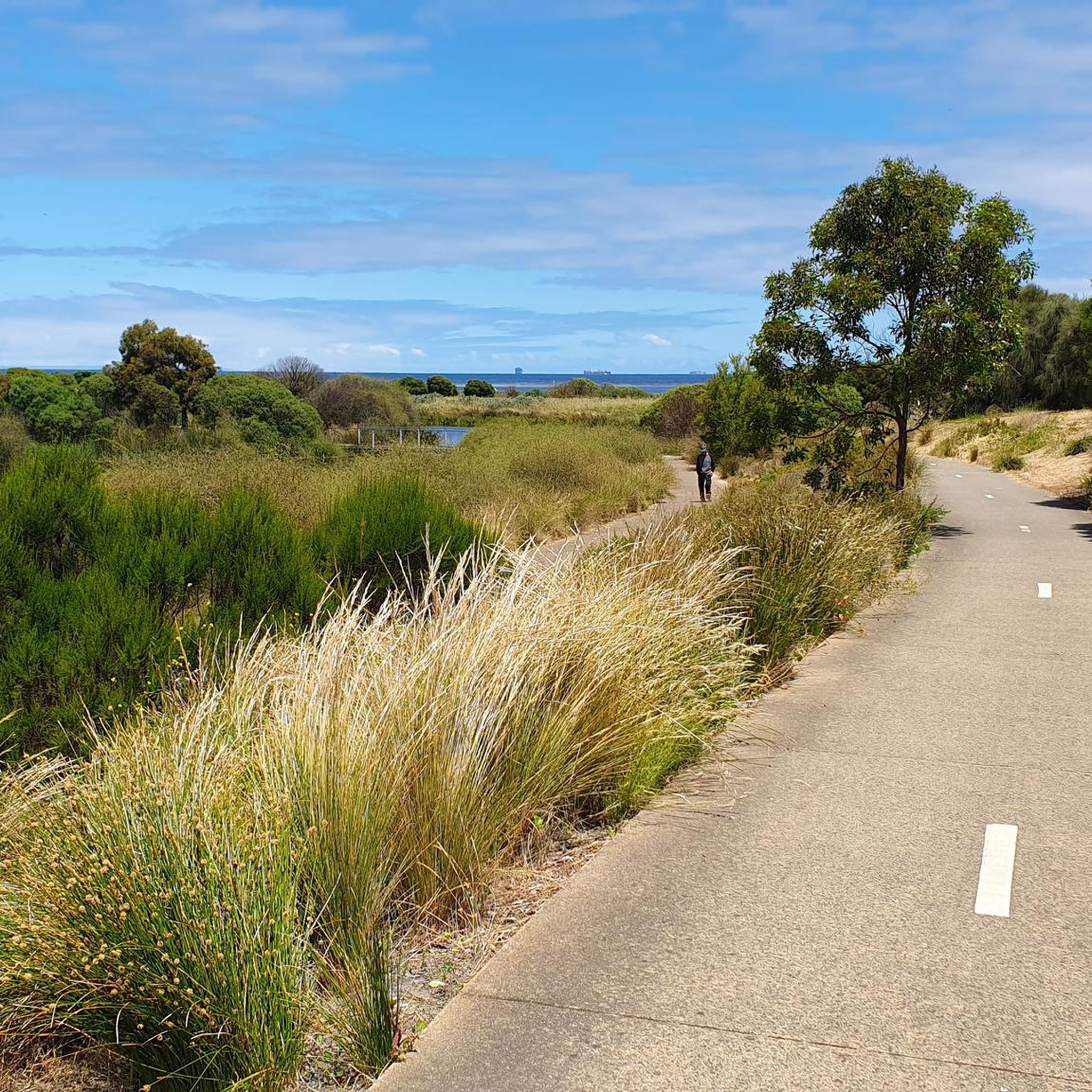
Mountain bike trails in Derrimut Grassland Nature Conservation Reserve are characterized by the adjacent Kororoit Creek Trail, which provides a mix of natural grassland ecosystems and riparian landscapes. This shared-use path features both paved and gravel surfaces, traversing parklands and natural areas. The trail network offers connectivity to other parts of Melbourne's trail system, allowing for varied cycling experiences.
Best mountain bike trails in Derrimut Grassland Nature Conservation Reserve
- The most popular mountain bike trail is Weir and Fish Ladder…
Last updated: July 8, 2026
5.0
(1)
11
riders
34.7km
01:47
50m
50m
Easy mountain bike ride. Great for any fitness level. Suitable for all skill levels.
2
riders
23.0km
01:14
50m
50m
Easy mountain bike ride. Great for any fitness level. Suitable for all skill levels.

Sign up for free
5
riders
44.7km
02:36
270m
270m
Moderate mountain bike ride. Good fitness required. Suitable for all skill levels.
5
riders
32.6km
01:48
40m
40m
Easy mountain bike ride. Great for any fitness level. Suitable for all skill levels.
5.0
(1)
3
riders
70.4km
04:01
350m
350m
Moderate mountain bike ride. Good fitness required. Suitable for all skill levels.
Get access to more routes and recommendations from other explorers.
Sign up for free
Already have an account?
Our route recommendations are based on thousands of hikes, rides, and runs completed by other people on komoot.
Start today with a free account
Your next adventure awaits.
Login or Signup
Popular around Derrimut Grassland Nature Conservation Reserve
Tips from the Community

Altona Pier extends into Port Phillip Bay and is one of Melbourne’s most popular fishing piers, attracting anglers year-round looking to catch snapper, flathead, and squid. There are beautiful, uninterrupted views across the bay, making it a fantastic spot for a casual stroll, taking a few photos or watching the sunset over the water. Located next to Altona Beach and the waterfront precinct, it is a great place to stop for a detour along the Hobsons Bay Coastal Trail.
0
0

Williamstown Beach is known for its golden sand, calm waters, and views across the harbour. In summer, it's popular with swimmers, picnickers, and walkers enjoying the Hobsons Bay Coastal Trail. The beach is near the Williamstown Ferry Terminal, a convenient ferry service going to downtown Melbourne.
0
0
The Point Gellibrand Timeball Tower is a maritime landmark sitting on the grassy lawns of Hobsons Bay. It was built in the 19th century for timekeeping. This tower was used to coordinate shipping schedules and help with accurate navigation for ships coming in and out of the port. It still stands today though not used by ships anymore it remains as an interesting landmark.
1
0
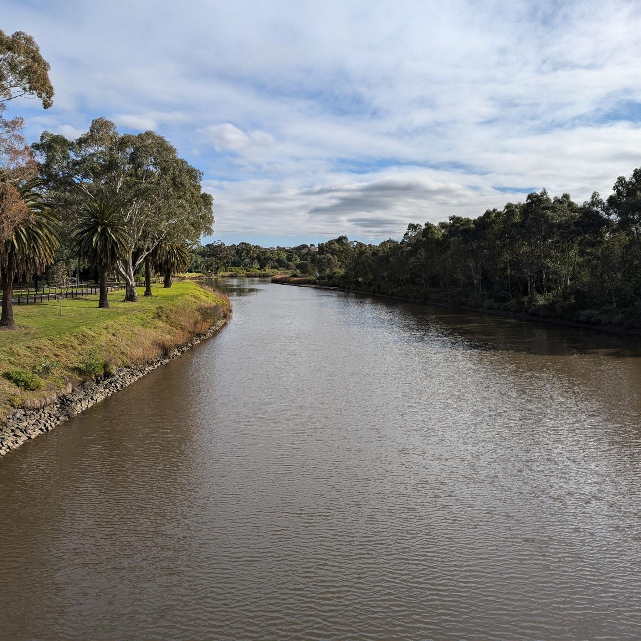
Maribyrnong River Trail is a great multi-use path that follows the river for roughly 25 kilometres, connecting the inner suburbs to Melbourne’s northwest. The trail combines sealed paths with riverside scenery, passing parks, wetlands, and historical sites along the way. It’s relatively flat and easy, making it an ideal route for both casual walkers and longer-distance cyclists.
0
0
Footscray Park is a large heritage-listed riverside park along the Maribyrnong River, known for its beautiful ornamental gardens, open lawns, and mature trees. Established in the early 20th century, the grounds include landscaped terraces, rose gardens, and plenty of picnic areas with expansive views of the city skyline. Its riverside paths connect directly to the Maribyrnong River Trail, making it a popular starting point for walking and cycling.
0
0
Pipemakers Park sits along the Maribyrnong River and has displays on industrial and Indigenous history. Here you'll find Melbourne's Living Museum of the West, "Pipedreams" Sculpture, the Nature Playground, and the History of the Land Discovery Trail garden. There are two large free car parks, so it's a great place to start a hike as well.
0
0
The headwaters of the Maribyrnong River are near Mount Macedon, and the river flows for 40 kilometres before emptying into Port Phillip. The Maribyrnong River Trail is a great way to check out this typically calm river, with pedestrian bridges crossing over it.
0
0
Frequently Asked Questions
How many mountain bike trails are available in the Derrimut Grassland Nature Conservation Reserve area?
There are over 10 mountain bike trails available in the Derrimut Grassland Nature Conservation Reserve area, offering a variety of experiences for different skill levels. These routes primarily utilize the adjacent Kororoit Creek Trail network.
What are the typical difficulty levels of mountain bike trails in this area?
The mountain bike trails in the Derrimut Grassland Nature Conservation Reserve area are generally classified as easy to moderate. For example, routes like Weir and Fish Ladder loop from Sunshine and Spectacle Lakes – Swan & Pelican Pond loop from Westona are considered easy, while the Strathnaver Reserve loop from Tottenham offers a moderate challenge.
Are there any family-friendly mountain bike routes?
Yes, many of the trails, particularly those along the Kororoit Creek Trail, are suitable for families. Their easy difficulty and relatively flat terrain make them ideal for riders of varying ages and abilities. Routes like Weir and Fish Ladder loop from Sunshine are great options for a family outing.
Can I bring my dog on the mountain bike trails?
While the Derrimut Grassland Nature Conservation Reserve itself has strict conservation rules, the adjacent Kororoit Creek Trail, which forms the basis of many mountain bike routes, is generally a shared-use path. It's best to check local signage and Parks Victoria guidelines for specific sections of the trail regarding dogs, as rules can vary.
What kind of landscapes and natural features can I expect to see while mountain biking here?
You can expect to experience a blend of natural grassland ecosystems and riparian landscapes along the Kororoit Creek. The trails offer views of dense Kangaroo Grass, wetlands like Anderson's Swamp (also known as Lake Stanley), and diverse wildlife including various bird species, bandicoots, and native rodents. The Kororoit Creek Trail itself features attractive parklands and natural areas.
Are there any circular mountain bike routes available?
Yes, several circular mountain bike routes are available. Examples include the Weir and Fish Ladder loop from Sunshine and the Spectacle Lakes – Swan & Pelican Pond loop from Westona, which allow you to start and finish at the same point.
Where can I park when visiting the Derrimut Grassland Nature Conservation Reserve for mountain biking?
Parking is typically available at various access points along the Kororoit Creek Trail, which runs adjacent to the reserve. Specific trailhead access points often have designated parking areas. It's advisable to check the starting point of your chosen route for the most convenient parking options.
Is the Derrimut Grassland Nature Conservation Reserve itself open for mountain biking?
Direct mountain biking within the core Derrimut Grassland Nature Conservation Reserve is generally restricted due to its high conservation value and role as a habitat for endangered species. Mountain biking opportunities in this area primarily exist on the surrounding and connecting trails, such as the Kororoit Creek Trail, which runs adjacent to the reserve. For official information on access, you can refer to the Parks Victoria website.
What is the best time of year to go mountain biking in the Derrimut Grassland Nature Conservation Reserve area?
The area is generally pleasant for mountain biking during most of the year. Spring and autumn offer mild temperatures, making them ideal. Summer can be hot, so early morning or late afternoon rides are recommended. Winter rides are also possible, but be prepared for cooler, potentially wetter conditions, especially on unpaved sections of the Kororoit Creek Trail.
Are there any facilities like cafes or restrooms near the trails?
While the immediate vicinity of the reserve is focused on conservation, the Kororoit Creek Trail passes through suburban areas where you can find cafes, restrooms, and other amenities. It's a good idea to plan your route to include stops in nearby towns or suburbs for refreshments and facilities.
What do other mountain bikers say about the trails in this area?
The routes in the Derrimut Grassland Nature Conservation Reserve area are highly rated by the komoot community, with an average score of 5.0 stars from numerous reviews. Mountain bikers often praise the accessible nature of the trails, the scenic riparian landscapes along Kororoit Creek, and the opportunity to experience natural environments close to the city.
How long are the mountain bike trails generally?
The mountain bike trails in this area vary in length, offering options for different preferences. You can find routes ranging from approximately 24 km, like the Spectacle Lakes loop from City of Hobsons Bay, up to longer rides such as the View of Melbourne Skyline – Dixon Veloway loop from St Albans, which is over 72 km.
How can I access the trails using public transport?
The Kororoit Creek Trail, which is central to mountain biking in this area, is well-connected within Melbourne's public transport network. You can often reach various trailheads via train or bus services that stop in the western suburbs. It's recommended to check public transport routes to specific starting points for your chosen trail.
Most popular routes in Derrimut Grassland Nature Conservation Reserve

Get inspired with the komoot mobile app


Explore more
Browse the best MTB trails in other regions.
