The best road cycling routes in Craigieburn Grassland Nature Conservation Reserve
2.8
(4)
78
riders
7
rides
Road cycling in Craigieburn Grassland Nature Conservation Reserve offers routes through an area characterized by extensive grasslands, stony ridges, and the Merri Creek corridor. The region, located north of Melbourne, protects a significant expanse of Victorian Volcanic Plain grasslands. While the core reserve has restricted access to preserve its sensitive environment, surrounding roads and shared-use paths provide opportunities for cyclists. These routes often feature expansive grassland vistas and views of diverse habitats, including areas with columnar basalt cliffs.
Best road…
Last updated: July 12, 2026
5
riders
47.5km
02:19
340m
340m
Moderate road ride. Good fitness required. Some segments of this route may be unpaved and difficult to ride.
5
riders
42.3km
02:02
210m
210m
Moderate road ride. Good fitness required. Mostly well-paved surfaces and easy to ride.

Sign up for free
2.5
(2)
36
riders
39.2km
02:06
220m
220m
Moderate road ride. Good fitness required. Some segments of this route may be unpaved and difficult to ride.
18
riders
47.4km
02:14
220m
220m
Moderate road ride. Good fitness required. Mostly well-paved surfaces and easy to ride.
5.0
(1)
5
riders
41.8km
02:16
160m
160m
Moderate road ride. Good fitness required. Some segments of this route may be unpaved and difficult to ride.
Get access to more routes and recommendations from other explorers.
Sign up for free
Already have an account?
Our route recommendations are based on thousands of hikes, rides, and runs completed by other people on komoot.
Start today with a free account
Your next adventure awaits.
Login or Signup
Popular around Craigieburn Grassland Nature Conservation Reserve
Tips from the Community

This pedestrian bridge over the Yarra River is part of the Darebin Creek Trail. Stop and look over the edge to get great views of the Yarra on its 242-kilometer journey from Mount Baw Baw to Port Phillip Bay.
0
0
The Plenty River Trail traces the Plenty River from Western Ring Road in Greensborough to the Yarra River Trail junction in Plenty. The track is mostly paved, but the northern end is hard-packed dirt. It passes over the river a few times on bridges, runs through a handful of parks, and is also home to lorikeets, cockatoos, and eastern grey kangaroos.
0
0

Bundoora Park is a large parkland in Melbourne’s northern suburbs, nestled along the upper reaches of Darebin Creek. There is plenty of open grassland, remnant bushland and wetlands, with a strong focus on conservation and recreation, including walking and cycling paths. The park is also home to a heritage farm and wildlife area, making it one of the more diverse green spaces in the region.
0
0
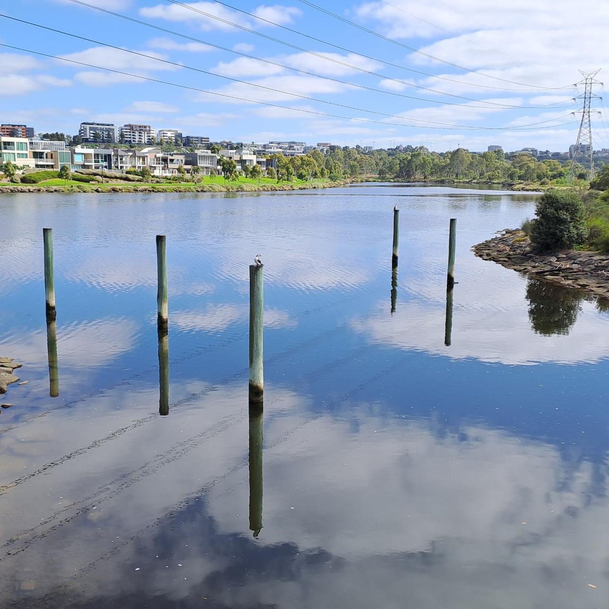
Darebin Creek is a picturesque waterway in Melbourne’s northern suburbs that flows south from near South Morang toward the Yarra River at Alphington. It runs through a mix of urban parklands, wetlands, and remnant bushland, forming an important green corridor in an otherwise built-up area. Sections of the creek have been heavily modified over time, but many parts now support restored vegetation and local wildlife within surrounding reserves and trails.
0
0
Darebin Parklands is a beautiful bushland reserve in Alphington set within a natural bend of Darebin Creek. Surrounded by red gum woodland, the walking tracks and open grassy areas create a peaceful natural pocket close to the inner city. The parklands are also important for birdlife and ecological restoration, with ongoing efforts to protect and re-establish native vegetation along the creek corridor.
0
0
Darebin Creek Trail is a popular shared walking and cycling path in Melbourne’s northern suburbs that follows Darebin Creek for about 25 kilometres from near the Yarra River up toward Epping and South Morang. It passes through a mix of bushland reserves, wetlands, parks, and suburban areas, including places like Darebin Parklands, Preston, Reservoir, and Bundoora Park. The trail is mostly flat and is a lovely mix of natural sections near the creek and urban settings closer to residential and industrial locations.
0
0

Janet Millman Reserve is an urban bushland reserve in Perth’s eastern suburbs. It’s a relaxed spot with picnic areas and barbecues, and you’ll often see locals out walking their dogs. Dogs are allowed on leash, but don’t worry, your barbecue will be safe - they must be kept at least ten metres away from picnic and barbecue areas.
0
0
Plenty Gorge Park spans roughly 11 kilometres along the Plenty River and covers diverse landscapes, including steep gorges, woodlands, wetlands, and open grasslands. The river has carved a dramatic gorge through softer sedimentary rock, creating varied habitats that support hundreds of native plant and animal species, making the park one of the most ecologically diverse in the Melbourne area. Today, the park is a hub for recreation, with walking trails, picnic areas, and restored former quarry sites, such as Blue Lake, for plenty of opportunities to enjoy the natural scenery and wildlife.
0
0
Frequently Asked Questions
How many road cycling routes are available in the Craigieburn Grassland Nature Conservation Reserve area?
There are several road cycling routes in the area surrounding the Craigieburn Grassland Nature Conservation Reserve. Komoot currently lists 7 distinct routes, offering a variety of experiences for cyclists.
Are there easy road cycling routes suitable for beginners?
Yes, the area offers easy road cycling routes perfect for beginners. For instance, the Roadbike loop from Wollert is an easy 39.2 km ride that provides expansive grassland views. Another easy option is the Cat Mural loop from Gowrie, which covers 25.5 km.
What kind of scenery can I expect while road cycling around the reserve?
Road cycling routes in this region offer expansive grassland vistas, showcasing the critically endangered Victorian Volcanic Plain grasslands. You'll also encounter diverse habitats along the Merri Creek corridor, which features columnar basalt cliffs and reedy pools. Some routes even provide views of the Melbourne skyline.
Are there any specific shared-use paths for cyclists near the reserve?
Yes, a prominent option is the Craigieburn Bypass Trail, also known as the Galada Tamboore Pathway. This shared-use path is concrete-surfaced and offers an easy cycling experience, running past the Craigieburn, Cooper Street, and Galada Tamboore grasslands. It's an excellent way to view the nationally significant plains and riparian habitats. You can learn more about it on Wikipedia.
What is the best time of year for road cycling in this region?
The spring months are particularly beautiful for road cycling around the Craigieburn Grassland Nature Conservation Reserve. This is when the native grasslands come alive with wildflowers, such as Kangaroo Grass, offering a vibrant and scenic backdrop to your ride.
Are there any moderate or more challenging road cycling routes available?
Yes, the area features several moderate routes for those seeking a bit more challenge. Examples include the Darebin Parklands – Winding Eucalyptus Path loop from Thomastown (39.9 km) which traverses diverse habitats, and the Rapha Melbourne – Dights Falls loop from Epping (51.6 km).
Can I find loop routes for road cycling in the Craigieburn area?
Many of the road cycling routes in the Craigieburn area are designed as loops, allowing you to start and finish at the same point. Popular loop options include those originating from Wollert, Epping, and Thomastown, catering to various distances and difficulty levels.
What do other cyclists say about road cycling in Craigieburn Grassland Nature Conservation Reserve?
The road cycling routes in the Craigieburn Grassland Nature Conservation Reserve area are generally well-regarded by the komoot community, with an average score of 2.8 stars from 4 reviews. Cyclists often appreciate the expansive grassland views and the opportunity to explore diverse habitats along the Merri Creek corridor.
Is public transport an option to reach the road cycling routes?
The Craigieburn Grassland Nature Conservation Reserve is located approximately 25 km north of Melbourne. While specific public transport connections to every route start point may vary, the broader Craigieburn area is accessible by public transport, which could serve as a starting point for your ride.
Are there parking facilities available near the cycling routes?
While the core conservation reserve has restricted access, the surrounding roads and shared-use paths often have nearby parking options in the adjacent suburbs like Wollert, Epping, and Thomastown, where many of the routes begin or pass through.
Are the road cycling routes suitable for families?
For families, the easier, concrete-surfaced shared-use paths like the Craigieburn Bypass Trail (Galada Tamboore Pathway) are generally suitable. These paths offer a relatively flat and safe environment to enjoy cycling together while experiencing the natural beauty of the area.
Most popular routes in Craigieburn Grassland Nature Conservation Reserve

Get inspired with the komoot mobile app


Explore more
Browse the best Road cycling routes in other regions.
